Parking
Start at the National Trust Great Langdale Campsite car park, where cars are kept separate from the camping fields. The route is also commonly started from the Old Dungeon Ghyll or New Dungeon Ghyll area.
Lake District National Park, EN
Five rocky summits, two tarns and a scramble above a glacial valley
Overview
This is a strenuous mountain circuit that starts and finishes at Great Langdale Campsite, measured as a full loop of 12.2 miles / 19.55 km. That figure includes the short connected footpath and track return from Sticklebarn and Dungeon Ghyll back to the campsite, so the number you see here is door to door rather than summit to summit.
The running order is: campsite, Rakerigg, Wrynose Fell, Pike of Blisco (703 m), Red Tarn, Great Cove, the Bad Step, Crinkle Crags (Long Top 859 m), Shelter Crags, Three Tarns, Bowfell (902.9 m), Ore Gap, Angle Tarn, Angletarn Gill, Stake Pass, Martcrag Moor, Pike of Stickle (708.4 m), Loft Crag (681.7 m), then the well-laid descent by Mark Gate past Dungeon Ghyll Force to Sticklebarn and the campsite.
The payoff is a horseshoe that climbs one side of the valley head, traverses the high ground, and returns down the other, with tarns, crags and a long stretch of ridge in between. Route guidance gives about 1,716 m of ascent; a recorded GPS track of the same line reports roughly 19 km, 1,534 m of ascent and 1,560 m of descent over 6 hours 15.
Map & elevation
Plan your hike

The highest, rockiest slopes around here are a summer buffet for grizzly bears.
Lake District Tour Guide
Parkwolf is a GPS audio tour guide for Lake District National Park. As you drive, it chimes in with what’s ahead: hidden gems, upcoming stops, history, geology, and wildlife, right through your car’s speakers.
Recorded for this trailhead
Great Langdale: Crinkle Crags and Bowfell“Up ahead is the head of Great Langdale, where you can start a mountain circuit over Crinkle Crags and Bowfell.”
Plays as you drive up to this trailhead in the Parkwolf Lake District Tour Guide.
More stories near here in the app
“Fantastic app with many points of information… It’s great to just turn on while you’re driving and it gives you an audio tour of the national Park. We love it!!!!”


Trail guide
Rate this hard. The distance is moderate, but almost all of it is on serious fell terrain with sustained climbing, rough ground and no easy shortcuts once you are committed on the ridge.
The demanding parts, in order:
Elsewhere expect exposed rocky ridges, uneven stone, and route-finding that becomes genuinely tricky in cloud, particularly across the Crinkle Crags tops and the broad ground beyond Bowfell. Carry map and compass skills, not just a phone. There is little reliable water on the high ground, so fill up before you start.
Typical time is about 6.25 hours, with 6 to 8 hours realistic depending on fitness, scrambling confidence and conditions.
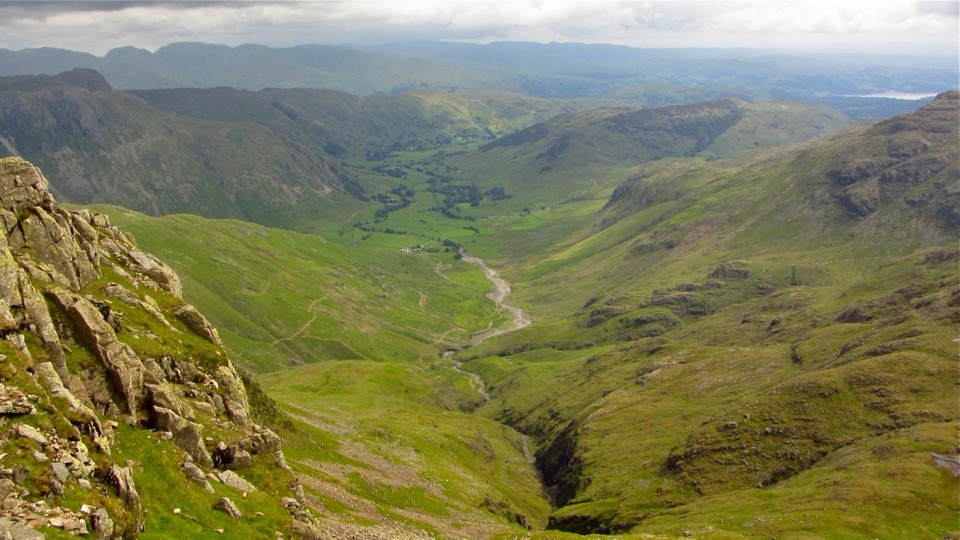
This is glacial mountain scenery at its most legible: a deep valley head, rugged crags, hanging combes such as Great Cove, and tarns set into the tops at Red Tarn, Three Tarns and Angle Tarn. Views open broadly over Great Langdale and across the central and southern fells, with the ridge line giving a continuous sense of height. Lower slopes are open grazing country, and the finish drops past Dungeon Ghyll Force.
For photography, early and late light is the strongest, raking across the crags and picking out the valley floor. Useful subjects include the profile of Pike of Stickle from Martcrag Moor, the tarns as foreground with distant ridges behind, and the layered fells from Bowfell when the air is clear. Cloud sitting on the tops can be atmospheric but will cost you the wide views entirely.
Parking: use Great Langdale Campsite, where campsite cars are kept in a separate car park. Old Dungeon Ghyll and New Dungeon Ghyll work as alternate starts and shift the loop slightly without changing its character.
Dogs: permitted on public footpaths and bridleways, but keep them under close control and on a short lead around livestock in the open grazing areas. Be honest about the ground first. This is a hard, rocky, exposed route with scrambling and long stretches of stone, and it is unsuitable for many dogs, including fit ones that struggle with rock steps or heat.
Trade-offs to weigh:
If the forecast is poor or daylight is tight, save it. This line rewards a clear day and punishes a rushed one.
Wildlife
 81 sightingsRed DeerMost seen around 7 PMSighting map
 13 sightingsEurasian OtterMost seen around 6 AMSighting map
 76 sightingsOspreyMost seen around 8 AMSighting map
 51 sightingsEuropean BadgerMost seen around 8 PMSighting map
 233 sightingsMute SwanMost seen around 6 PMSighting map
 176 sightingsGrey HeronMost seen around 7 AMSighting map
Sighting maps show where each species has been reported across Lake District. Wildlife moves, so no sighting is guaranteed.
Keep exploring
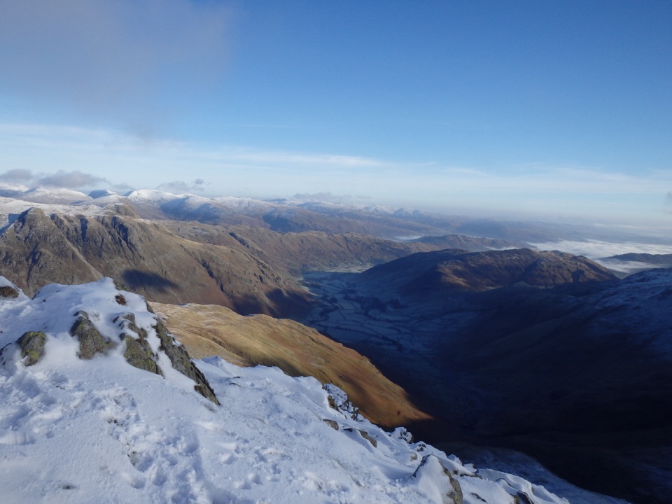 ChallengingCrinkle Crags12.7 km · 5.5 hr · 0.3 km awayA rugged five-crinkle ridge walk above Great Langdale
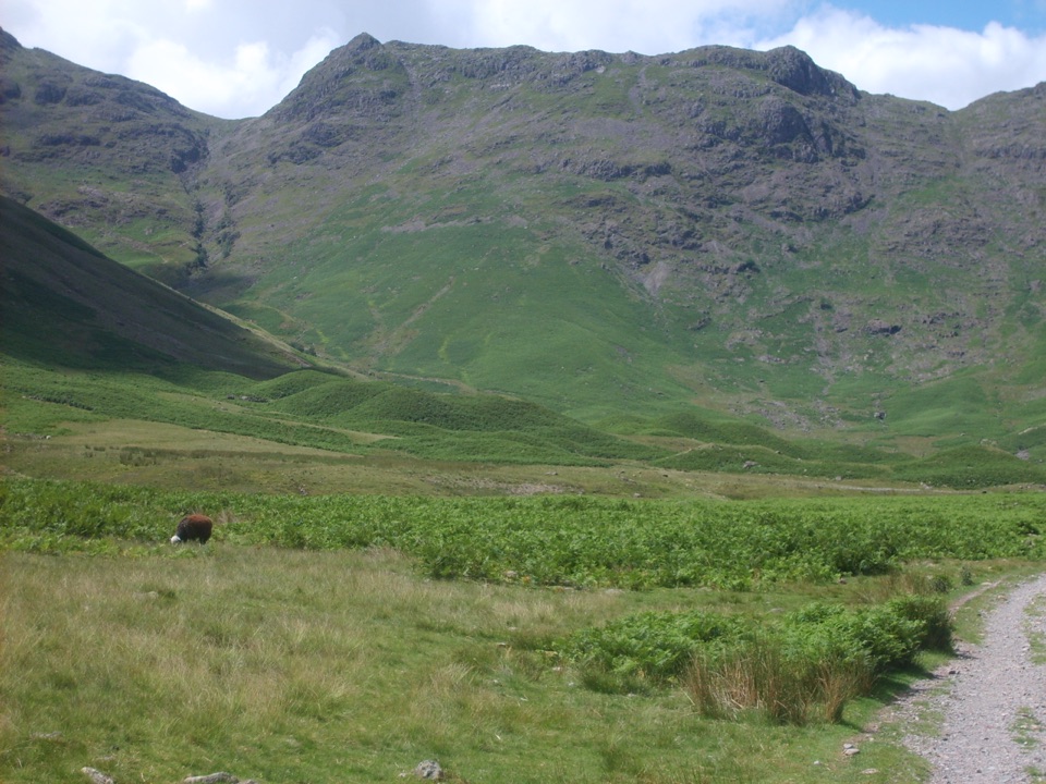 ChallengingRossett Pike, Angle Tarn, Esk Pike and Bowfell16.3 km · 6.5 hr · 0.4 km awayA full-day circuit of summits, tarns, boulders, and huge valley views
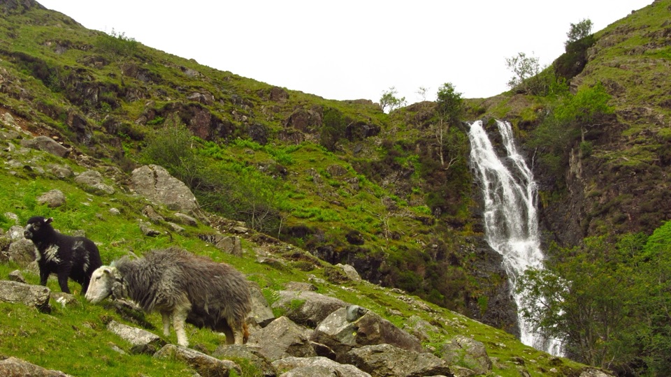 ChallengingBowfell via Whorneyside Force and the Great Slab13.5 km · 5.5 hr · 0.4 km awayA waterfall approach, exposed traverse, and a huge summit panorama
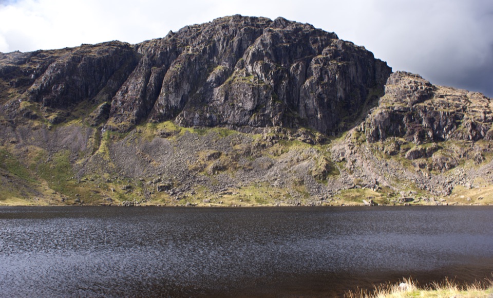 ModerateStickle Tarn Trail3.1 km · 2 hr · 0.9 km awaySteep rocky climb beside waterfalls to a tarn under high crags
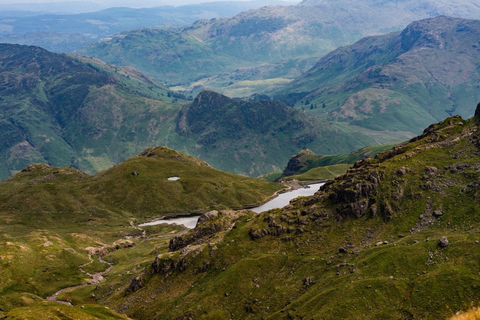 ChallengingHigh Raise, Sergeant Man and Blea Rigg from Langdale12.6 km · 5.5 hr · 0.9 km awayA hard 7.8 mile fell circuit above Great Langdale to Stickle Tarn
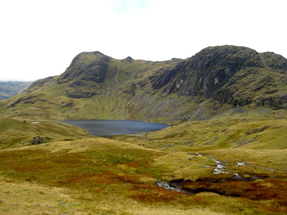 ChallengingLangdale Pikes Circuit8.2 km · 5 hr · 0.9 km awayA steep fell circuit through five summits and a mountain tarn
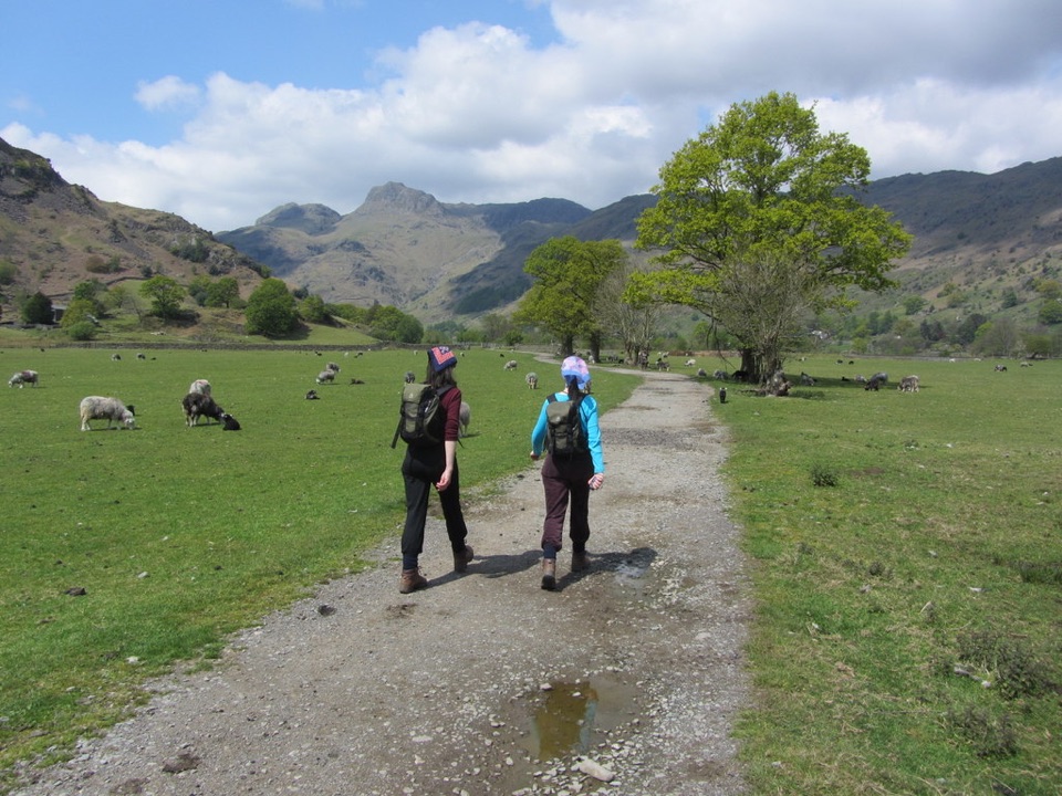 ModerateNew Dungeon Ghyll to Elterwater5.8 km · 2.5 hr · 0.9 km awayA low-level valley crossing with woodland, quarry history, and steep twists
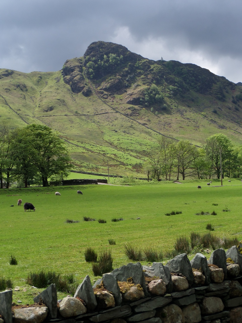 ModerateLingmoor Fell and Side Pike6.9 km · 3 hr · 1.7 km awayA compact fell loop with the Langdale Pikes and a squeeze
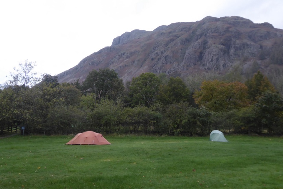 Campground · 0.1 km awayGreat Langdale CampsiteA mountain-framed base for walks and a proper digital detox
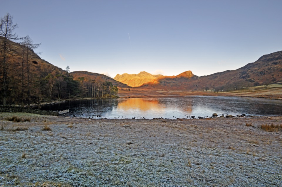 Sight · 1.5 km awayBlea TarnA still mountain tarn framed by the Langdale Pikes
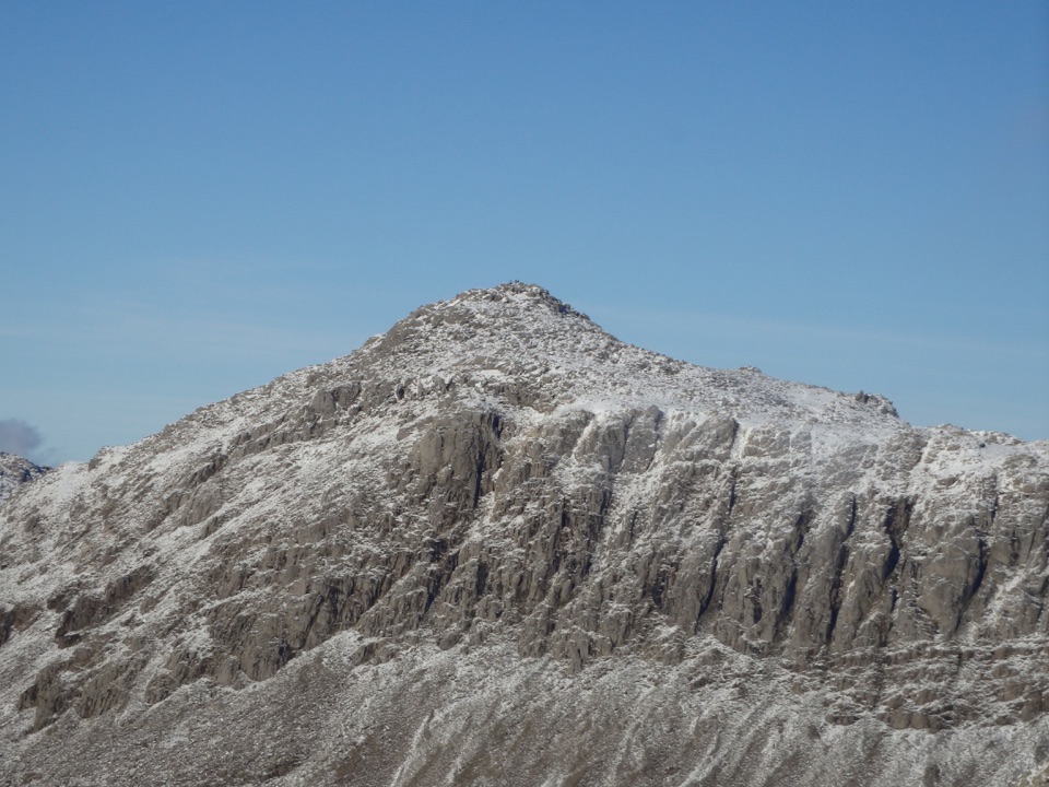 Sight · 4.4 km awayBowfellA rocky summit above Langdale, with the Scafells spread beyond
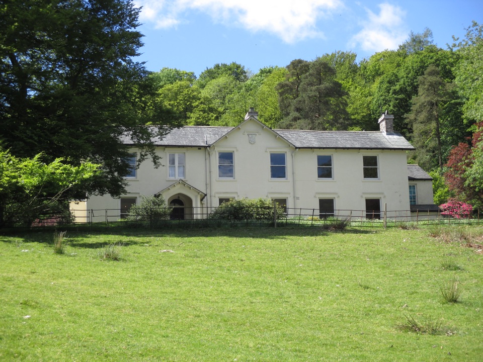 Sight · 4.8 km awayAllan BankWordsworth's villa pairs red squirrels with Grasmere views and woodland
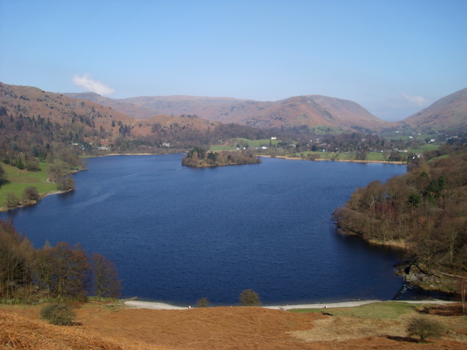 Sight · 5 km awayGrasmereA peaceful lake loop beneath the central Lake District fells
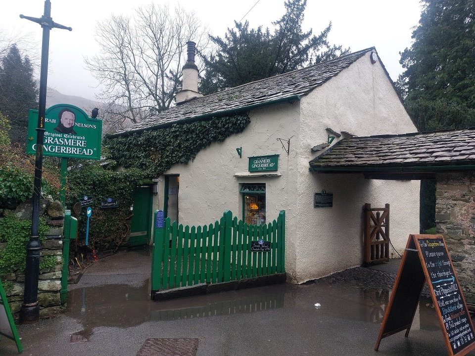 Store · 5.1 km awayGrasmere Gingerbread ShopA 1630 cottage where fresh gingerbread still draws a daily queue
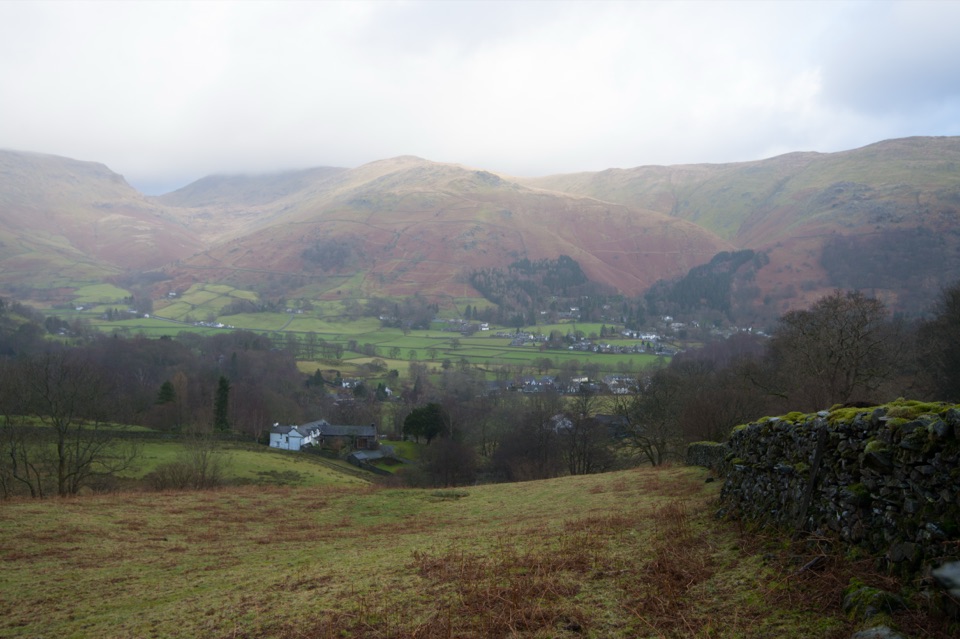 Sight · 5.1 km awayGrasmere VillageA slate-roofed fell village with Wordsworth, gingerbread, and walks
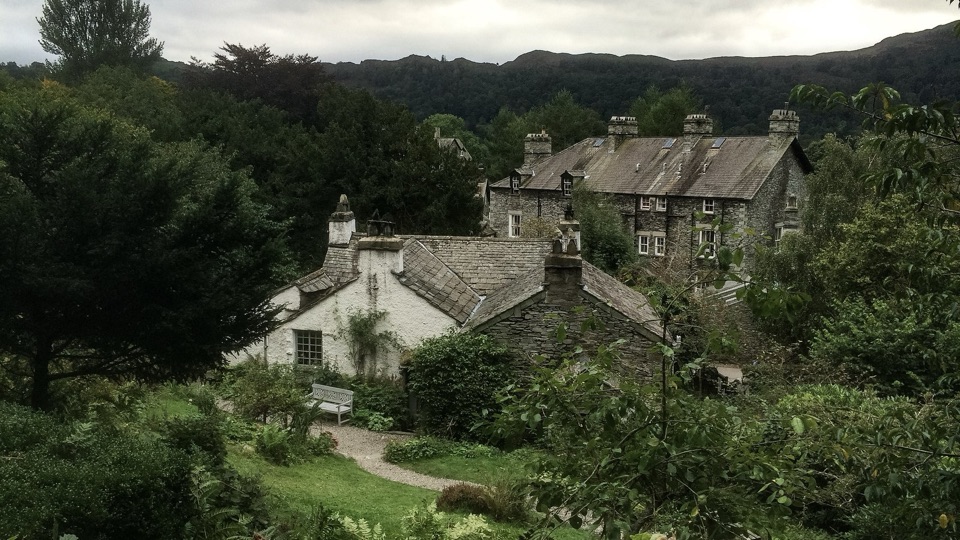 Sight · 5.5 km awayWordsworth GrasmereA poet's cottage, living garden, manuscripts, and wide valley views
Parkwolf’s Lake District ranking

The audio tour guide for the drive, plus offline maps, trails, and wildlife heatmaps for when the signal drops.





