Bowfell in Lake District National Park

Sight · Lake District National Park

Bowfell

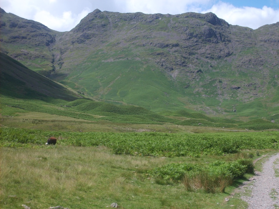
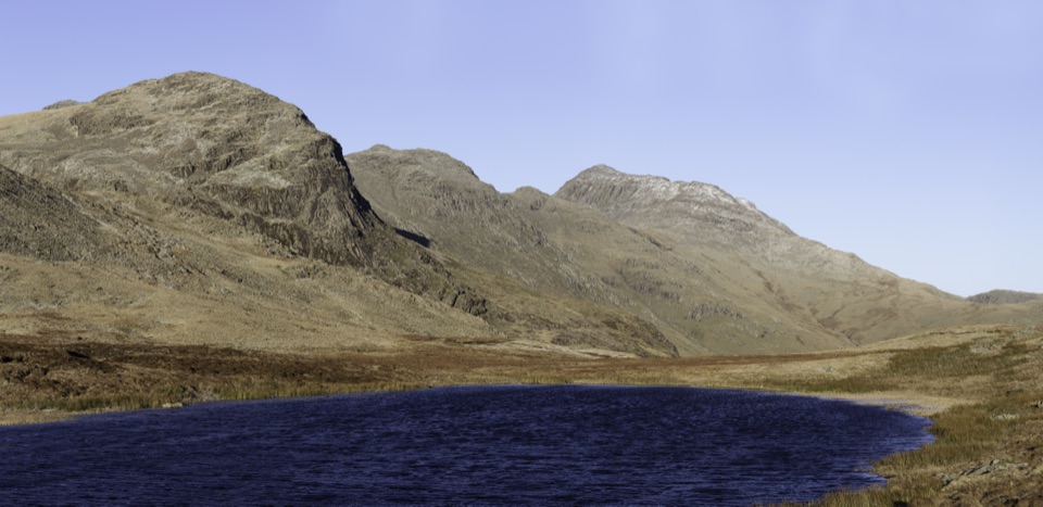
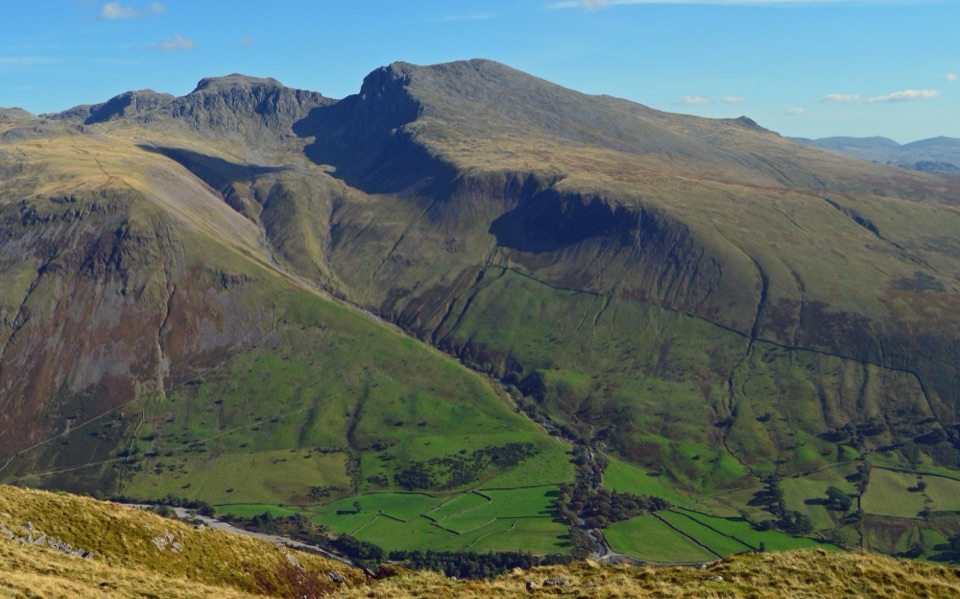
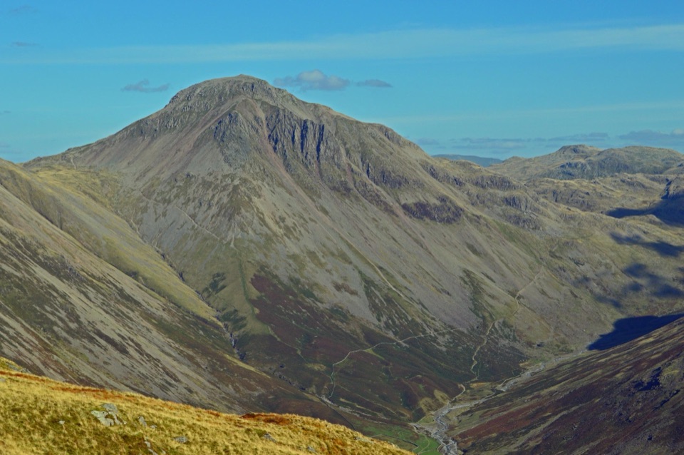
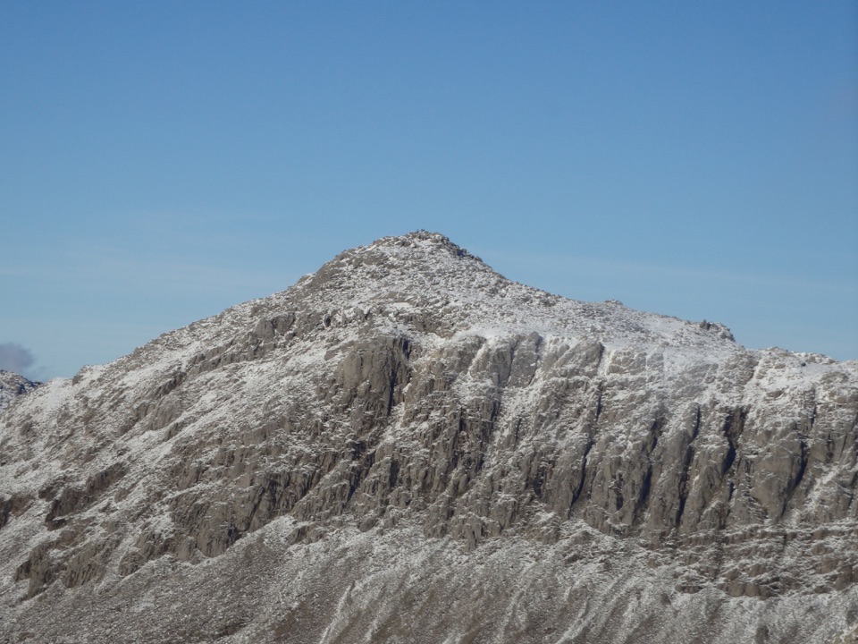
A rocky summit above Langdale, with the Scafells spread beyond

Photo: Wikimedia Commons
Type
Sight
Nearest trail
4.1 km

Hear the audio tour

Great Langdale: Crinkle Crags and Bowfell

Overview

About Bowfell

Why stop

  • Wide summit panorama over Langdale and the Scafell massif

Heads up

  • Long, rough ascent with loose rock and weather exposure

Map

Where it is

Loading the Lake District map
Full map
SightBowfell54.44783, -3.16624
Keep this map with you offline in the Parkwolf app

Plan your stop

Before you go

Best time to go

A settled, clear day gives Bowfell its full value. Start early for quieter paths and softer light on the surrounding ridges; late afternoon can put the Scafells in especially good light if you still have plenty of daylight and a safe descent planned. Dry conditions make the rocky sections far easier. In winter or hard icing, this becomes mountaineering terrain for many walkers, not simply a snowy version of the summer route.


8 active Lake District alerts

  • ClosureChapel Stile footpath closed for retaining-wall riskPart of Footpath 543030 between Chapel Stile and Baysbrown campsite is closed because a retaining wall beside the path could collapse and material it supports could fall across the footpath.Official details
  • ClosureStanley Ghyll Lower Falls footpath closed for rockfallThe section of Footpath 408037 leading towards Stanley Ghyll Lower Falls is closed because severe rockfall damage has made the path unstable and further rockfall remains a danger.Official details
See all 8 alerts
A park ranger sits on a dash-mounted phone, talking, as Parkwolf’s Tour Guide plays “Army Cutworm Moths: A Grizzly Bear Buffet” on Grand Loop Road below Dunraven Pass in Yellowstone
Parkwolf Tour GuideThe highest, rockiest slopes around here are a summer buffet for grizzly bears.

Lake District Tour Guide

Your drive to Bowfell, narrated.

Parkwolf is a GPS audio tour guide for Lake District National Park. As you drive, it chimes in with what’s ahead: hidden gems, upcoming stops, history, geology, and wildlife, right through your car’s speakers.

Recorded for this place

Great Langdale: Crinkle Crags and Bowfell
0:00 / 1:23
“Up ahead is the head of Great Langdale, where you can start a mountain circuit over Crinkle Crags and Bowfell.”

Plays as you drive up to Bowfell in the Parkwolf Lake District Tour Guide.

More stories near here in the app

  • Wrynose Pass: Two Summit Loops
  • Langdale Pikes and Stickle Tarn
  • Blea Tarn: Shore Walk or Side Pike
  • Hardknott Roman Fort: Beyond the Walls
  • 298 audio storiesacross Lake District’s roads, triggered by GPS as you drive
  • Wildlife heatmapsfor Red Deer, Eurasian Otter, Osprey, and 13 more
  • Works offlinemaps, 265 trails, 89 places, and audio download before you lose signal
  • CarPlay readysimple controls built for the drive
★★★★★
“Fantastic app with many points of information… It’s great to just turn on while you’re driving and it gives you an audio tour of the national Park. We love it!!!!”
JMJamesApp Store review
Download Parkwolf on the App StoreGet Parkwolf on Google Play

4.7 from 8,600+ ratings

Guide

More about Bowfell

Why climb itBowfell is a 902.

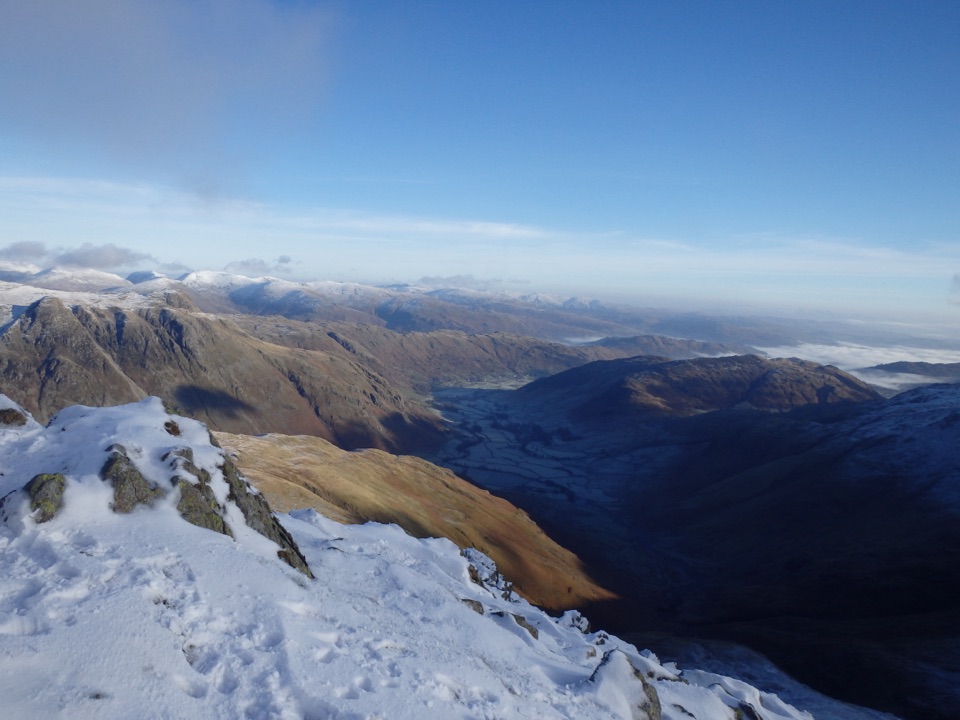
Bowfell is a 902.9-metre mountain at the head of Great Langdale, flanked by Crinkle Crags and the Langdale Pikes. It feels like the solid centre of the surrounding fells: from the summit, the view opens toward the Scafell massif, Eskdale, Langdale, the Pennines, and, on exceptionally clear days, the Isle of Man.

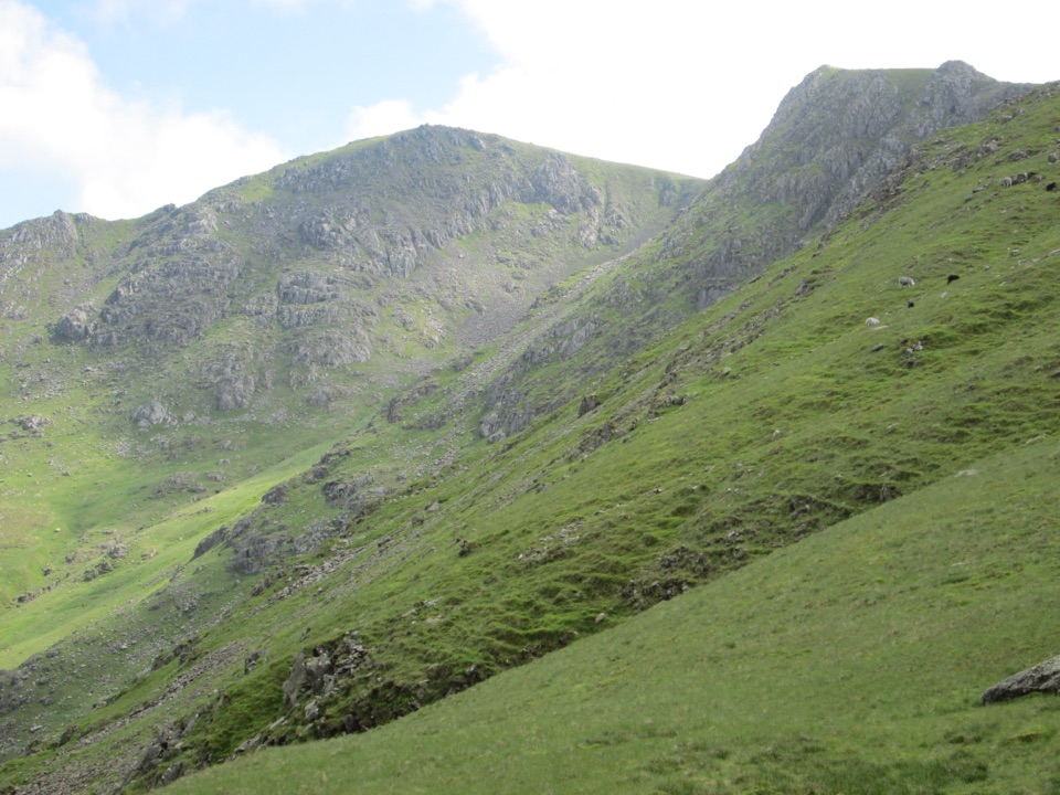
The appeal is the combination of a real mountain day and a remarkably varied summit. The upper slopes turn from grass to boulders, the pyramid-shaped top is rough underfoot, and the cairn sits in a wide, open landscape rather than on a neat, engineered viewpoint.

The walkThe usual approach is from Great Langdale, climbing The Band from near the Old Dungeon Ghyll.

The usual approach is from Great Langdale, climbing The Band from near the Old Dungeon Ghyll. A typical circuit is roughly 9 miles (14 km) with around 2,800 to 2,900 feet of ascent, though route choice changes that quickly. Expect a sustained climb, a rocky upper ridge, and a boulder field near the top. This is a full hill walk, not a quick add-on to a valley visit.

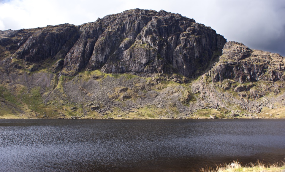
Longer circuits link Bowfell with Crinkle Crags, Esk Pike, Angle Tarn, or the Langdale Pikes. The more adventurous Climbers' Traverse leads toward the Great Slab, a striking flat sheet of rock below the summit. It has steep ground and loose rock nearby, so do not treat it as a casual shortcut, especially when wet, icy, or visibility is poor.

What you will noticeLook for the Great Slab from the surrounding fells, then look back across the deep folds of…

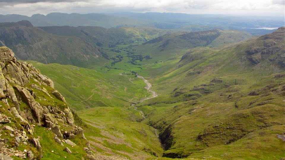
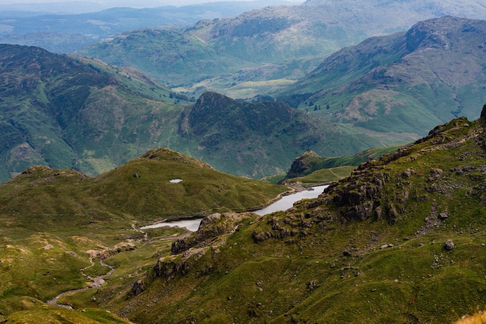
Look for the Great Slab from the surrounding fells, then look back across the deep folds of Langdale as you gain height. On the summit, the Scafells are the standout view in one direction; the rocky outline of Crinkle Crags and the long sweep toward the northern Lakes fill the others. In summer, listen around the crags for the clear song of the ring ouzel, a mountain relative of the blackbird.

The top is exposed and weather can change quickly. Cloud can remove the panorama while leaving the route-finding problem behind, and wind makes the boulders feel much less forgiving. Carry a map and compass or a reliable offline route, plus waterproof and windproof layers, sturdy footwear, food, and enough water for a mountain day. There are no visitor facilities on the summit.

Wildlife

Wildlife in Lake District

All Lake District wildlife maps

Sighting maps show where each species has been reported across Lake District. Wildlife moves, so no sighting is guaranteed.

Keep exploring

Near Bowfell

See it all on the map

Trails nearby

More stops nearby

Parkwolf’s Lake District ranking

Top sights in Lake District

All 89 places
  1. 1WindermereSight
  2. 2Scafell PikeSight
  3. 3UllswaterSight
  4. 4DerwentwaterSight
  5. 5Wast WaterSight
  6. 6Aira ForceSight

Take Parkwolf to Lake District.

The audio tour guide for the drive, plus offline maps, trails, and wildlife heatmaps for when the signal drops.

4.7 from 8,600+ ratings

Download Parkwolf on the App StoreGet Parkwolf on Google Play