Parking
Use Stickle Ghyll car park in Great Langdale, signed off the B5343 near New Dungeon Ghyll (LA22 9JU). It is pay-and-display; public toilets are nearby. Expect pressure at peak times.
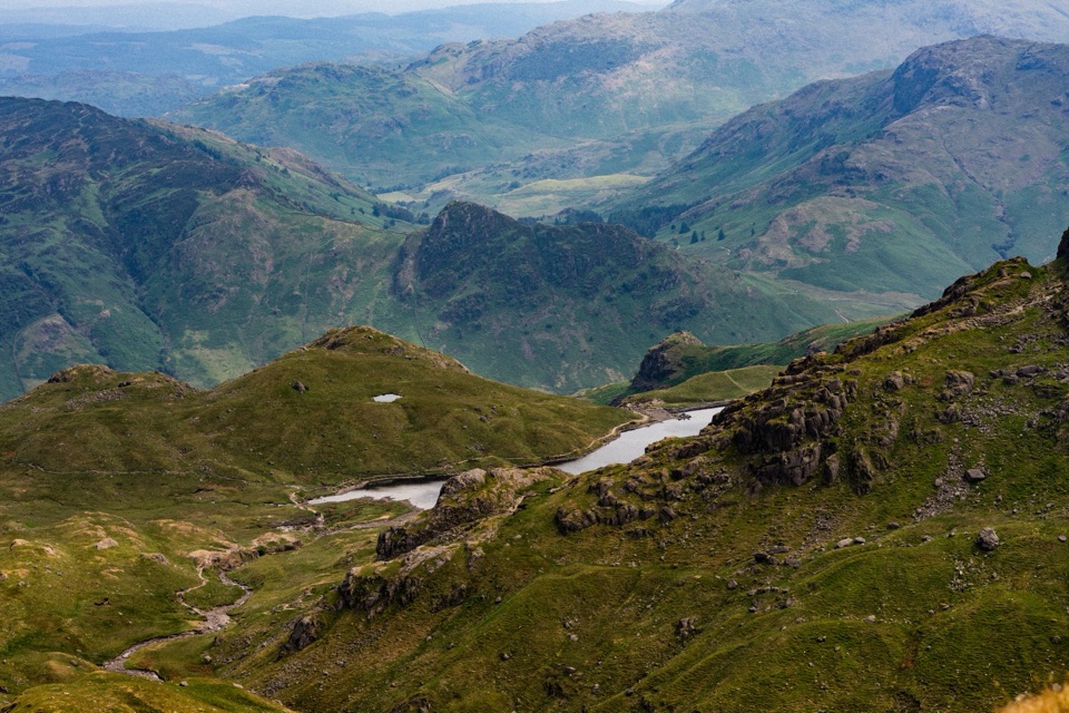
Lake District National Park, EN
A hard 7.8 mile fell circuit above Great Langdale to Stickle Tarn
Overview
A circular high-fell walk of 7.8 miles (12.6 km) with around 838 m of ascent, typically about 5.5 hours, rated 8/10 hard. From Stickle Ghyll car park the line climbs by Dungeon Ghyll to Thorn Crag and Harrison Stickle, one of the Langdale Pikes, then crosses Thunacar Knott to High Raise and Sergeant Man before turning along Blea Rigg and returning over high ground to Stickle Tarn and down beside Stickle Ghyll.
Map & elevation
Plan your hike

The highest, rockiest slopes around here are a summer buffet for grizzly bears.
Lake District Tour Guide
Parkwolf is a GPS audio tour guide for Lake District National Park. As you drive, it chimes in with what’s ahead: hidden gems, upcoming stops, history, geology, and wildlife, right through your car’s speakers.
Recorded for this trailhead
Langdale Pikes and Stickle Tarn“You're approaching Stickle Ghyll at New Dungeon Ghyll, the starting point for walks up to Stickle Tarn and the Langdale Pikes.”
Plays as you drive up to this trailhead in the Parkwolf Lake District Tour Guide.
More stories near here in the app
“Fantastic app with many points of information… It’s great to just turn on while you’re driving and it gives you an audio tour of the national Park. We love it!!!!”


Trail guide
Expect steep stone-pitched and rocky path low down, rough rocky steps, and short easy scrambling where hands come in useful. Higher up the ground is boggy grass with narrow, sometimes indistinct paths. Wet or wintry rock is slippery, there are steep drops and cliffs close to parts of the route, and the ghyll crossings bring fast water and slick stones.
The walk looks down into Great Langdale and across the central Lake District, with the Langdale Pikes prominent and Silver How and Grasmere in view on the eastern half. The Pikes are volcanic remnants. Stickle Tarn and its 1838 dam make the closing payoff; the dam enlarged the tarn to supply the former gunpowder works at Elterwater.
Start and finish at Stickle Ghyll car park in Great Langdale, near New Dungeon Ghyll, signed off the B5343, postcode LA22 9JU. Public toilets are nearby. Dogs are allowed under the normal local rule and must be kept on leads around livestock, especially sheep. Gates, stiles and steep rocky ground can be awkward for dogs.
The shorter official option from the same start is the 3-mile Stickle Tarn out-and-back, steep and rocky but far less committing. The full loop adds sustained ascent, exposed high ground and real navigation demands, so pick it only if you are confident on rough fell terrain and with a map.
Wildlife
 81 sightingsRed DeerMost seen around 7 PMSighting map
 13 sightingsEurasian OtterMost seen around 6 AMSighting map
 76 sightingsOspreyMost seen around 8 AMSighting map
 51 sightingsEuropean BadgerMost seen around 8 PMSighting map
 233 sightingsMute SwanMost seen around 6 PMSighting map
 176 sightingsGrey HeronMost seen around 7 AMSighting map
Sighting maps show where each species has been reported across Lake District. Wildlife moves, so no sighting is guaranteed.
Keep exploring
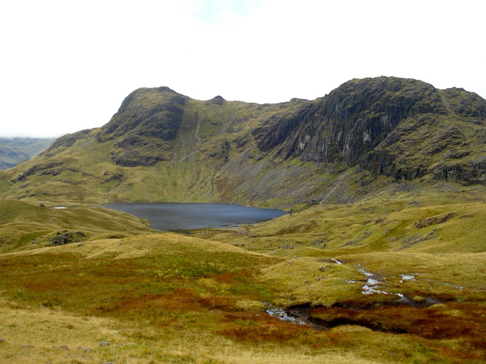 ChallengingLangdale Pikes Circuit8.2 km · 5 hr · At the trailheadA steep fell circuit through five summits and a mountain tarn
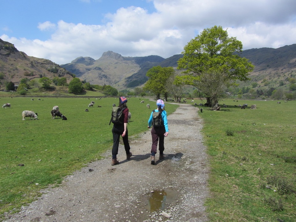 ModerateNew Dungeon Ghyll to Elterwater5.8 km · 2.5 hr · At the trailheadA low-level valley crossing with woodland, quarry history, and steep twists
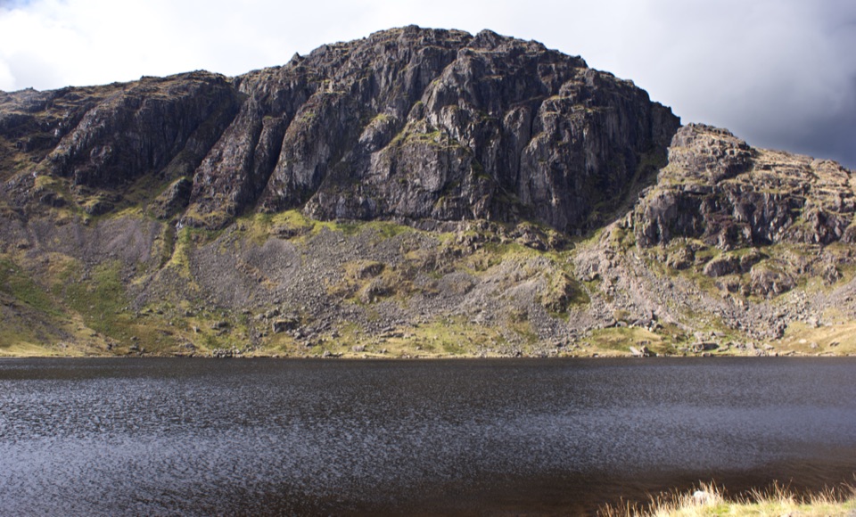 ModerateStickle Tarn Trail3.1 km · 2 hr · 0.1 km awaySteep rocky climb beside waterfalls to a tarn under high crags
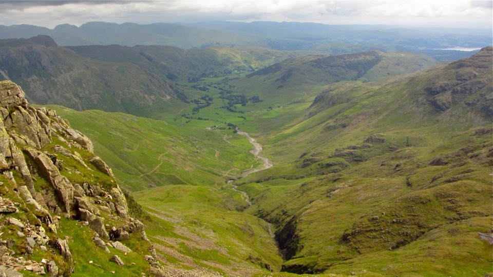 ChallengingGreat Langdale Round19.6 km · 6.3 hr · 0.9 km awayFive rocky summits, two tarns and a scramble above a glacial valley
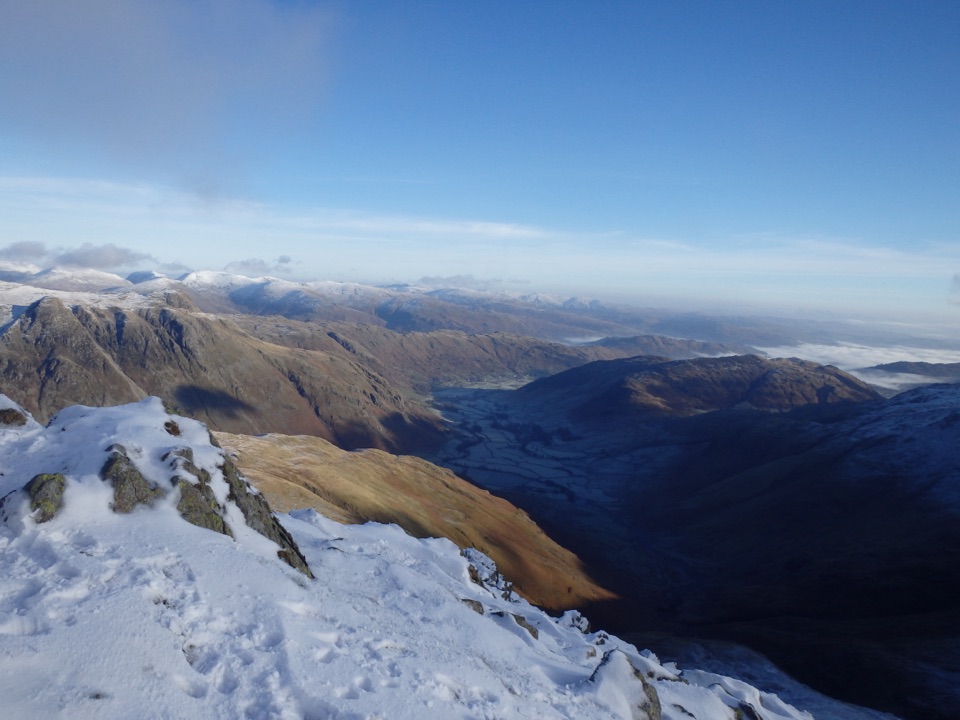 ChallengingCrinkle Crags12.7 km · 5.5 hr · 1 km awayA rugged five-crinkle ridge walk above Great Langdale
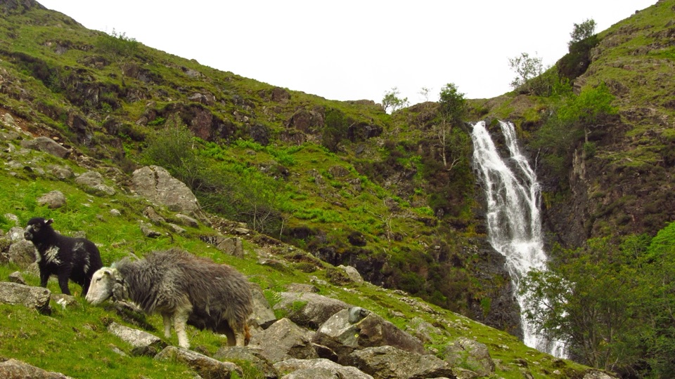 ChallengingBowfell via Whorneyside Force and the Great Slab13.5 km · 5.5 hr · 1 km awayA waterfall approach, exposed traverse, and a huge summit panorama
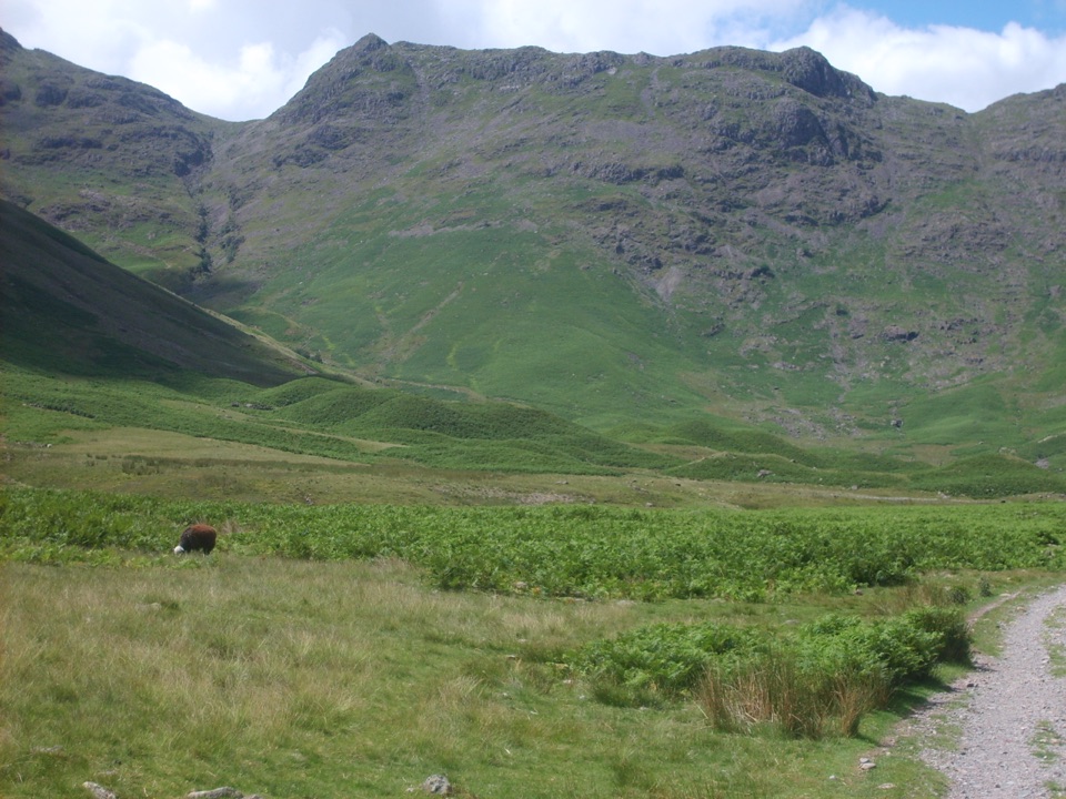 ChallengingRossett Pike, Angle Tarn, Esk Pike and Bowfell16.3 km · 6.5 hr · 1 km awayA full-day circuit of summits, tarns, boulders, and huge valley views
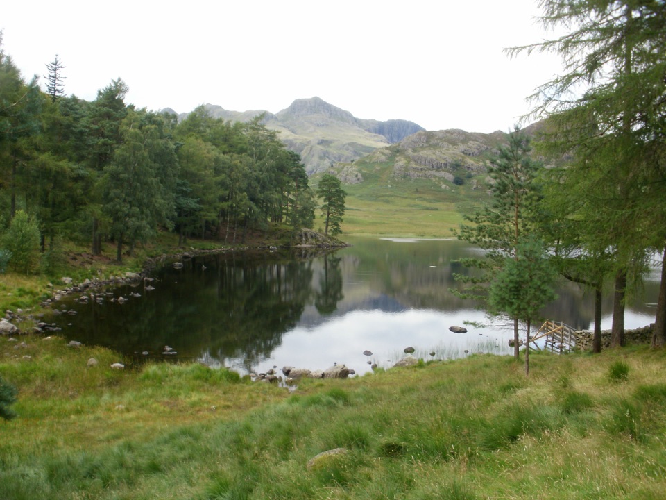 EasyBlea Tarn Trail2.9 km · 1.5 hr · 2.1 km awayA gentle 1.8-mile there-and-back to a tarn and broad Langdale views
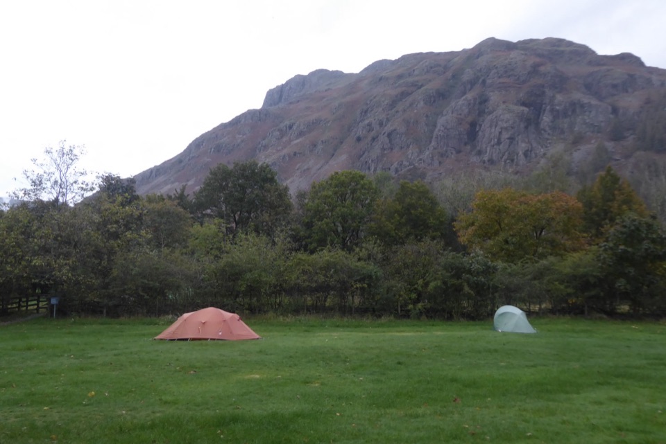 Campground · 1 km awayGreat Langdale CampsiteA mountain-framed base for walks and a proper digital detox
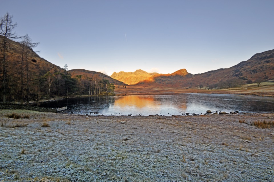 Sight · 2 km awayBlea TarnA still mountain tarn framed by the Langdale Pikes
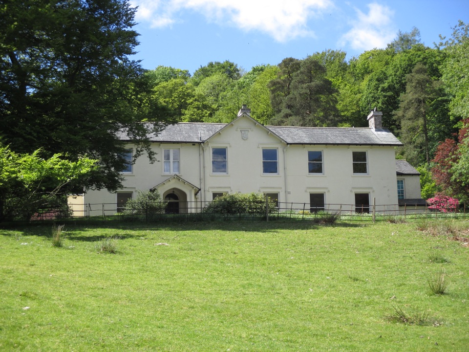 Sight · 4 km awayAllan BankWordsworth's villa pairs red squirrels with Grasmere views and woodland
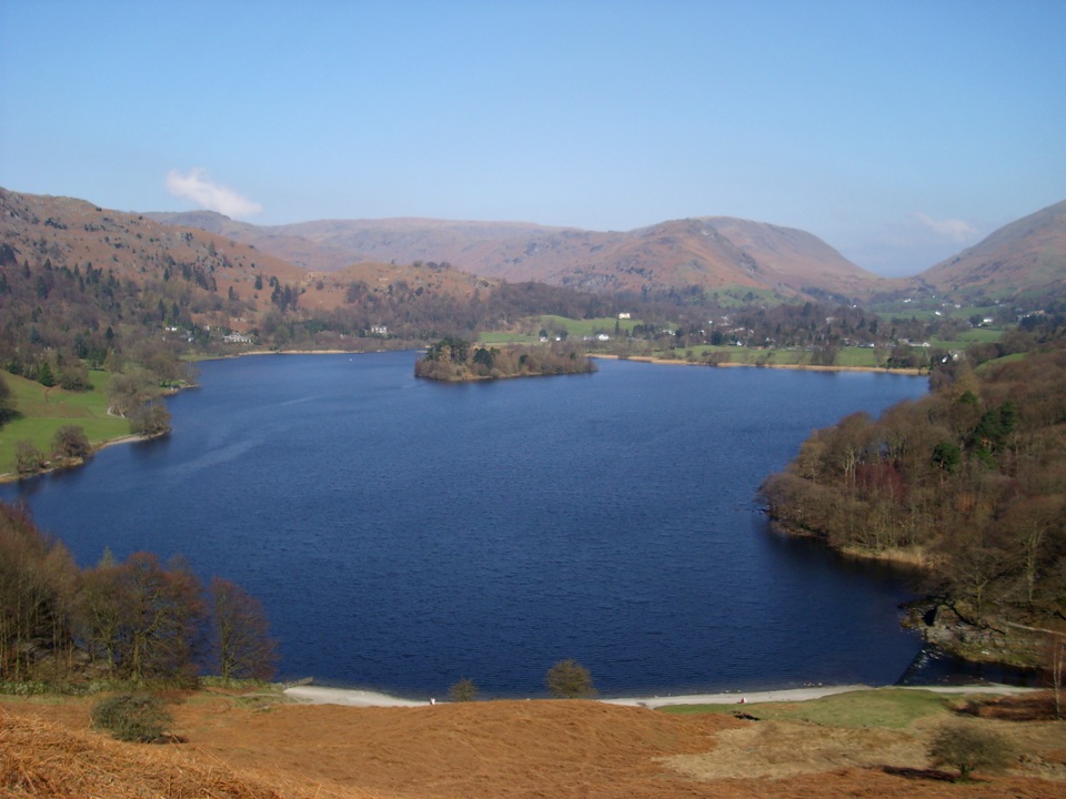 Sight · 4.2 km awayGrasmereA peaceful lake loop beneath the central Lake District fells
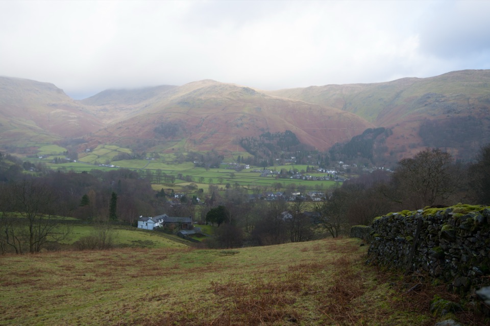 Sight · 4.3 km awayGrasmere VillageA slate-roofed fell village with Wordsworth, gingerbread, and walks
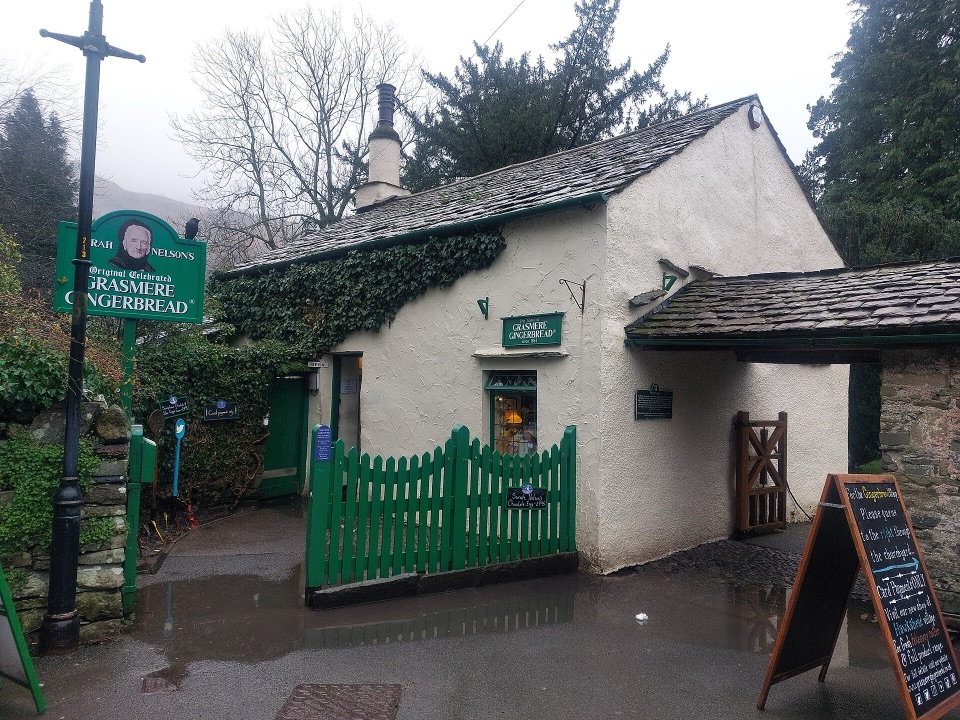 Store · 4.3 km awayGrasmere Gingerbread ShopA 1630 cottage where fresh gingerbread still draws a daily queue
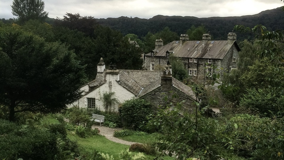 Sight · 4.7 km awayWordsworth GrasmereA poet's cottage, living garden, manuscripts, and wide valley views
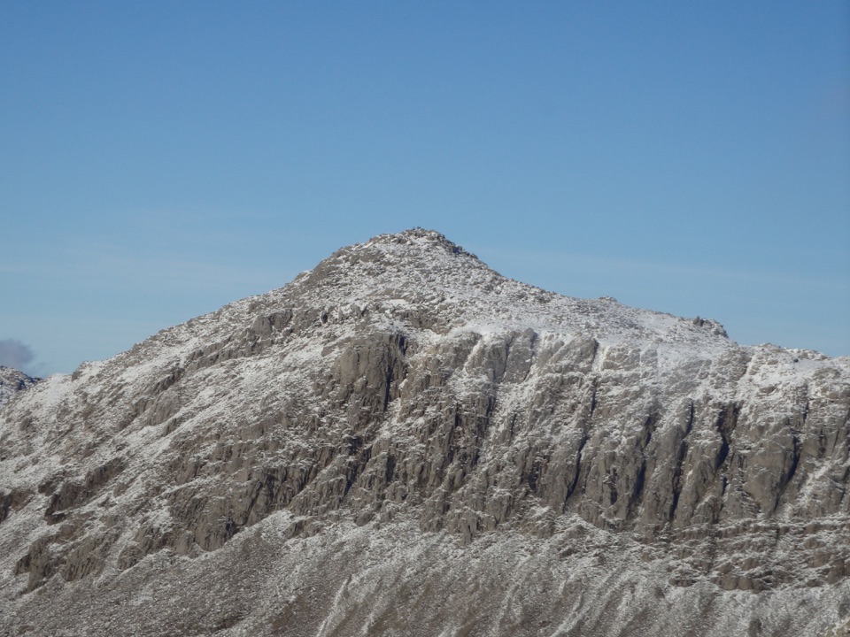 Sight · 5.1 km awayBowfellA rocky summit above Langdale, with the Scafells spread beyond
Parkwolf’s Lake District ranking

The audio tour guide for the drive, plus offline maps, trails, and wildlife heatmaps for when the signal drops.





