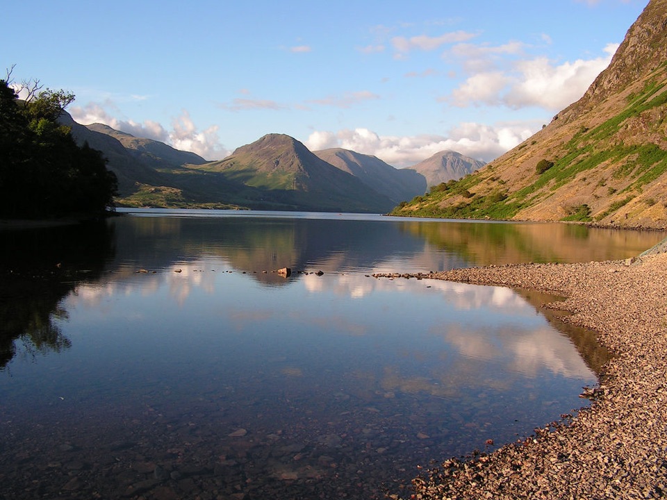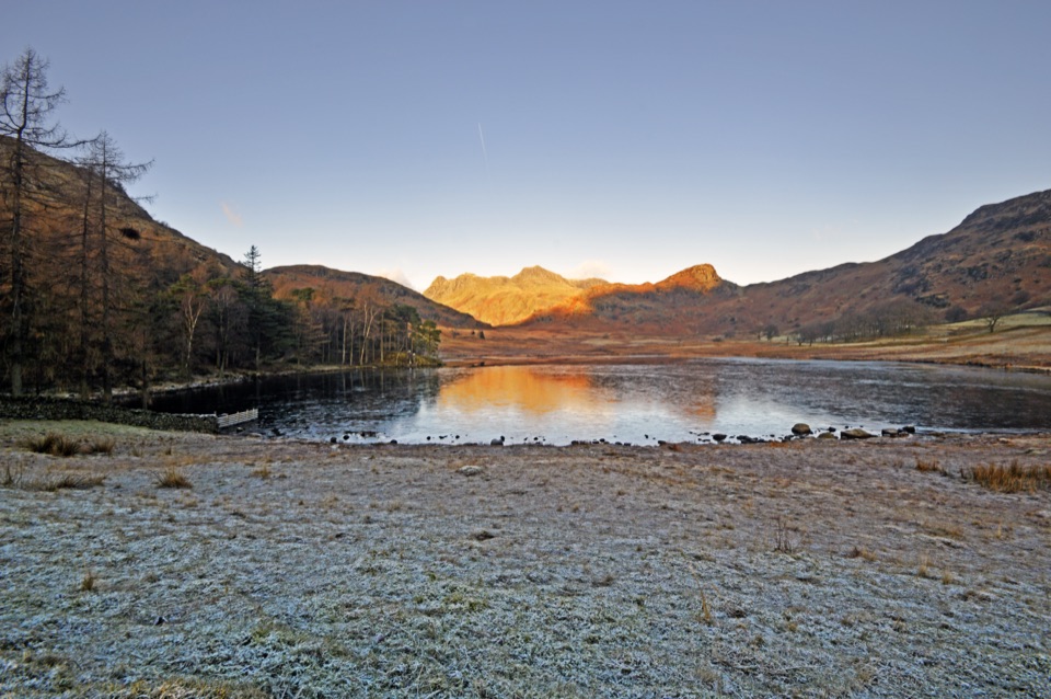
Blea Tarn in Lake District National Park

Sight · Lake District National Park

Blea Tarn

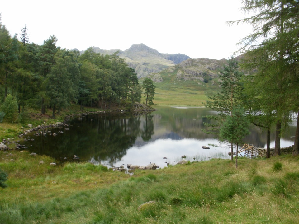
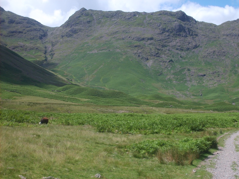
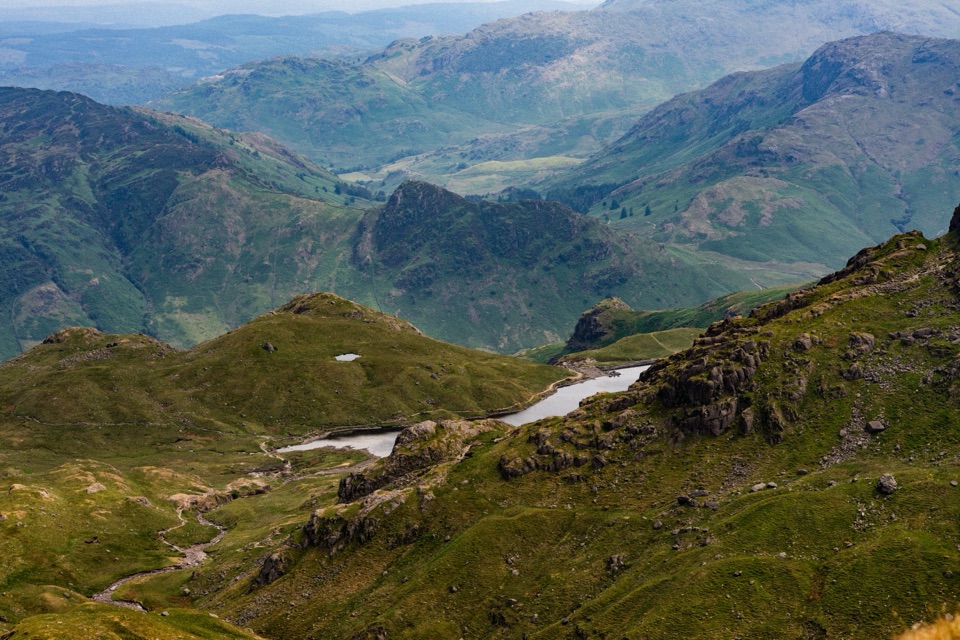
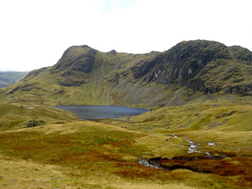
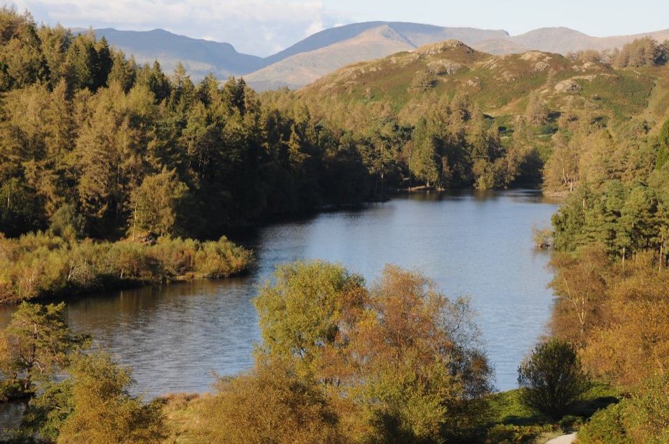
A still mountain tarn framed by the Langdale Pikes

Photo: Wikimedia Commons
Type
Sight
Nearest trail
0.3 km
Audio stories
5 nearby
  • Parking

Hear the audio tour

Blea Tarn: Shore Walk or Side Pike

Overview

About Blea Tarn

Why stop

  • Langdale Pikes views and reflections arrive with little walking

Heads up

  • Narrow approach roads and a steep first slope
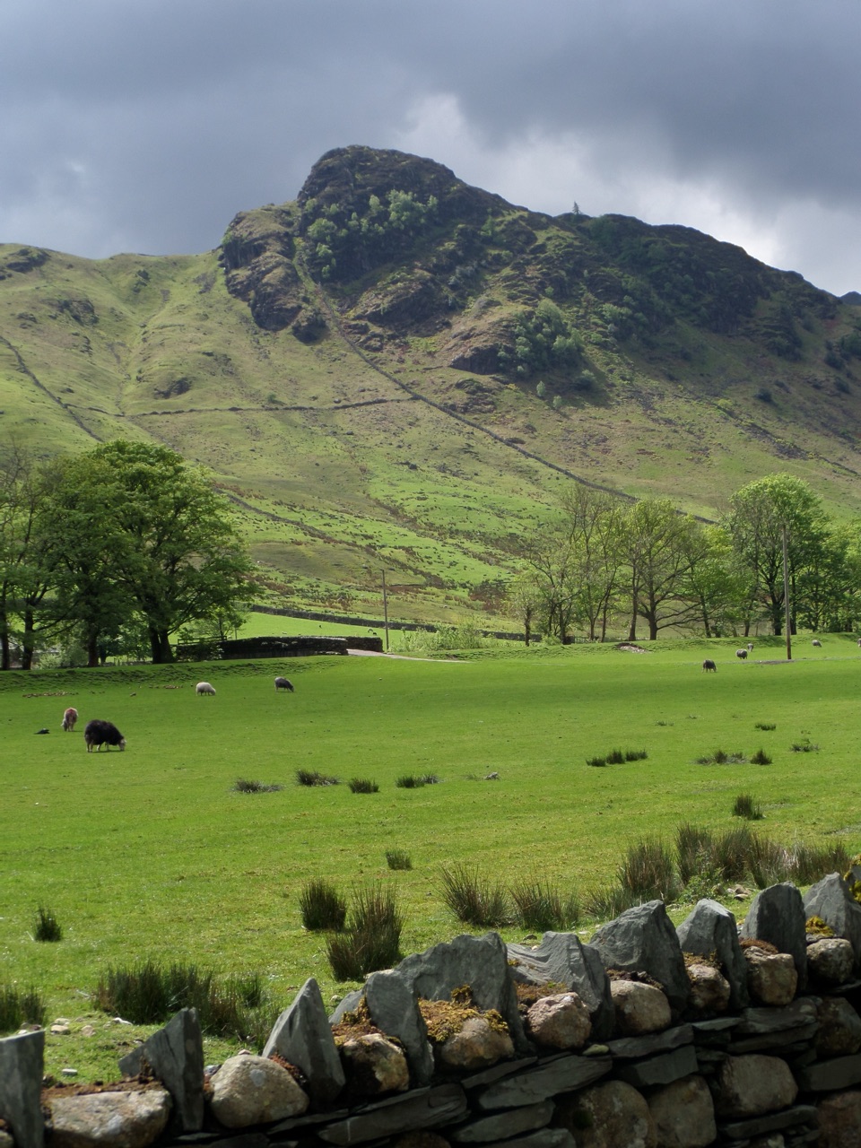
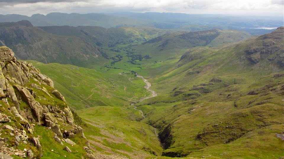
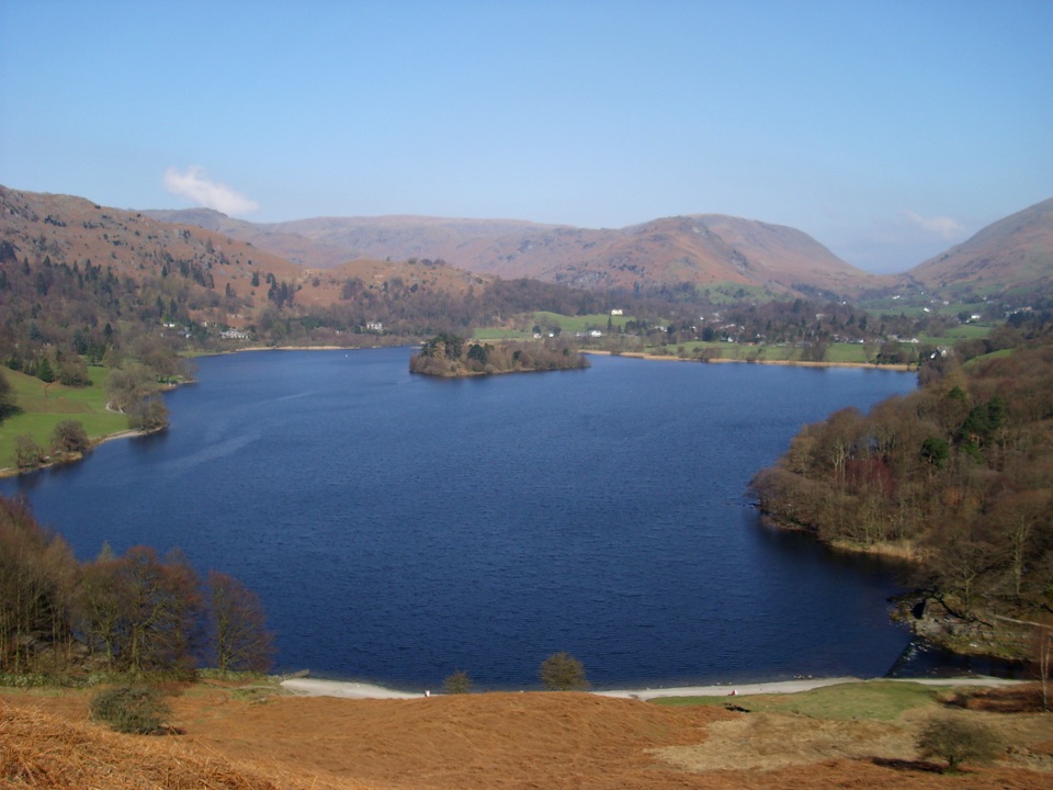
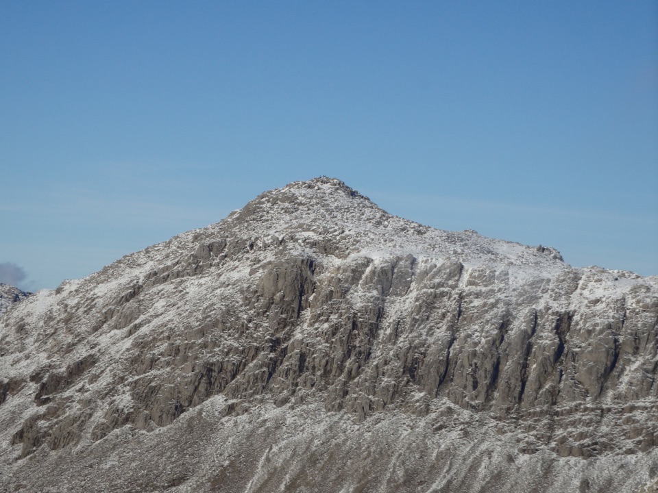
Blea Tarn is a small mountain tarn in the hanging valley between Great Langdale and Little Langdale. The reward is immediate: water in the foreground, the Langdale Pikes rising beyond it, and a quieter, more open feel than the park's busier lakeside towns. It is an especially good stop when you want a memorable mountain view without committing to a full fell day.
Parkwolf’s verdictWhy stop

Map

Where it is

Loading the Lake District map
Full map
SightBlea Tarn54.43024, -3.09127
Keep this map with you offline in the Parkwolf app

Plan your stop

Before you go

Best time to go

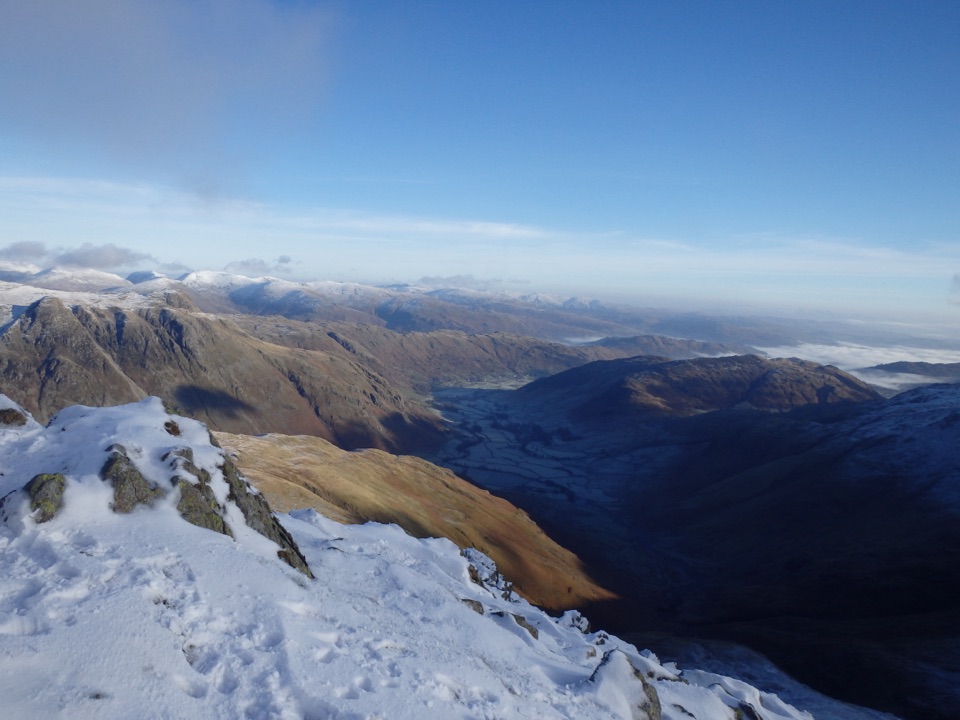
Early morning and late afternoon give the softest light and the best chance of reflections when the water is calm. Spring and summer are the time for flowers; autumn brings colour to the surrounding slopes, while winter can make the mountains dramatic but makes the narrow approach and wet ground less forgiving. Weekdays and early starts are usually the least hurried way to see it.

There is parking at the National Trust car park, but do not plan this as a serviced attraction with food or a visitor centre. Bring water, snacks, and a map if you intend to continue beyond the short tarn walk.


8 active Lake District alerts

  • ClosureChapel Stile footpath closed for retaining-wall riskMentions Chapel Stile, referenced in this guidePart of Footpath 543030 between Chapel Stile and Baysbrown campsite is closed because a retaining wall beside the path could collapse and material it supports could fall across the footpath.Official details
  • ClosureStanley Ghyll Lower Falls footpath closed for rockfallThe section of Footpath 408037 leading towards Stanley Ghyll Lower Falls is closed because severe rockfall damage has made the path unstable and further rockfall remains a danger.Official details
See all 8 alerts
A park ranger sits on a dash-mounted phone, talking, as Parkwolf’s Tour Guide plays “Army Cutworm Moths: A Grizzly Bear Buffet” on Grand Loop Road below Dunraven Pass in Yellowstone
Parkwolf Tour GuideThe highest, rockiest slopes around here are a summer buffet for grizzly bears.

Lake District Tour Guide

Your drive to Blea Tarn, narrated.

Parkwolf is a GPS audio tour guide for Lake District National Park. As you drive, it chimes in with what’s ahead: hidden gems, upcoming stops, history, geology, and wildlife, right through your car’s speakers.

Recorded for this place

Blea Tarn: Shore Walk or Side Pike
0:00 / 1:14
“You're drawing near Blea Tarn, where a short walk puts a small mountain lake between you and the jagged Langdale Pikes. This is my pick for enjoying those mountains when you fancy a modest walk with plenty to look at.”

Plays as you drive up to Blea Tarn in the Parkwolf Lake District Tour Guide.

More stories near here in the app

  • Great Langdale: Crinkle Crags and Bowfell
  • Langdale Pikes and Stickle Tarn
  • Wrynose Pass: Two Summit Loops
  • Mickleden: Mountains from the Valley Floor
  • 298 audio storiesacross Lake District’s roads, triggered by GPS as you drive
  • Wildlife heatmapsfor Red Deer, Eurasian Otter, Osprey, and 13 more
  • Works offlinemaps, 265 trails, 89 places, and audio download before you lose signal
  • CarPlay readysimple controls built for the drive
★★★★★
“Fantastic app with many points of information… It’s great to just turn on while you’re driving and it gives you an audio tour of the national Park. We love it!!!!”
JMJamesApp Store review
Download Parkwolf on the App StoreGet Parkwolf on Google Play

4.7 from 8,600+ ratings

Guide

More about Blea Tarn

What to expectFrom the National Trust car park, the signed route is about 1.

From the National Trust car park, the signed route is about 1.5 km each way, or roughly 3 km out and back. The distance is short, but the initial slope out of the car park is steep at about 1:5, and ground around the tarn can be wet or boggy after rain. Wear shoes with real grip and bring a waterproof layer even when the valley looks settled.

The approach roads through Little Langdale and Chapel Stile are narrow and often single-track. The car park is small, so arrive early on clear weekends if you want a straightforward start. Keep dogs on a lead around livestock and the sensitive shoreline, and stay on the established path rather than cutting across wet ground.

Why stopThe tarn is also a Site of Special Scientific Interest.

The tarn is also a Site of Special Scientific Interest. Its sediment has remained undisturbed since the last Ice Age, preserving a valuable record of the landscape's past. In spring and summer, alpine flowers add colour around the shores, while the water supports brown trout, perch, and pike.

Wildlife

Wildlife in Lake District

All Lake District wildlife maps

Sighting maps show where each species has been reported across Lake District. Wildlife moves, so no sighting is guaranteed.

Keep exploring

Near Blea Tarn

See it all on the map

Trails nearby

More stops nearby

Parkwolf’s Lake District ranking

Top sights in Lake District

All 89 places
  1. 1WindermereSight
  2. 2Scafell PikeSight
  3. 3UllswaterSight
  4. 4DerwentwaterSight
  5. 5Wast WaterSight
  6. 6Aira ForceSight

Take Parkwolf to Lake District.

The audio tour guide for the drive, plus offline maps, trails, and wildlife heatmaps for when the signal drops.

4.7 from 8,600+ ratings

Download Parkwolf on the App StoreGet Parkwolf on Google Play