Parking
Start at the National Trust car park at Wray Castle, Low Wray, LA22 0JA. This is the access for the castle and the loop.
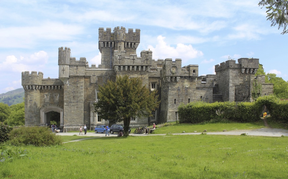
Lake District National Park, EN
Gothic castle, hidden tarn and Windermere shore in 3.5 miles
Overview
This is not a shoreline circuit of Blelham Tarn. Wet ground and fencing hold the path back from the water in places, so the tarn is more of a passing view than a constant companion. Stretches of lane and farmland are pleasant rather than dramatic, and the big fell scenery comes as glimpses rather than summit panoramas.
 Parkwolf’s verdictWorth knowing
Map & elevation
Plan your hike

The highest, rockiest slopes around here are a summer buffet for grizzly bears.
Lake District Tour Guide
Parkwolf is a GPS audio tour guide for Lake District National Park. As you drive, it chimes in with what’s ahead: hidden gems, upcoming stops, history, geology, and wildlife, right through your car’s speakers.
Recorded for this trailhead
Wray Castle: Grounds and Blelham Tarn“You're approaching Wray Castle, where turrets and woodland make an unusual backdrop to a walk beside Windermere. The towers and arrow slits look medieval, but this was built as a Victorian country house.”
Plays as you drive up to this trailhead in the Parkwolf Lake District Tour Guide.
More stories near here in the app
“Fantastic app with many points of information… It’s great to just turn on while you’re driving and it gives you an audio tour of the national Park. We love it!!!!”


Trail guide
A closed circular walk of about 5.6 km / 3.5 miles in total, measured all the way round to the start, with roughly 150 m of climbing spread across it. Allow around 1 hour 40 minutes at a steady pace, longer with stops. Start and finish at Wray Castle. The official grading is moderate, while a mapped copy of the same line rates it easy, so treat it as a straightforward low level walk that gets harder underfoot in wet weather.
From the castle the path pulls away through the estate and quiet access lanes, then crosses meadows and woodland toward the south west side of Blelham Tarn. The middle section rolls through farmland, with one short steeper rise near High Tock How, before dropping through fields and woods to the western shore of Windermere. The last stretch follows the lake, then climbs back up to the castle, with fell views one way and water the other.
Expect a mix of estate lanes, grassy field paths, farm tracks and woodland trail, plus gates and stiles along the way. The farmland and the ground near the tarn can be boggy in wet weather, so stout footwear is sensible when the ground is wet. Nothing is exposed, and the single steeper climb is over quickly.
Castle, tarn, meadows, mixed woodland and open lake shoreline all fit into under four miles. Blelham Bog beside the tarn is a protected site recorded for rare mosses, sedges and insects, so stay on the paths there. Field sections may hold grazing livestock.
Dogs are welcome and should be kept on leads throughout, both for the grazing stock and the sensitive bog ground. Gates and stiles mean this is not a barrier free route. The separate signposted Miles Without Stiles route from Wray Castle toward Low Loanthwaite is a different, longer, one way walk of about 7 km, so do not confuse the two when planning.
Wildlife
 81 sightingsRed DeerMost seen around 7 PMSighting map
 13 sightingsEurasian OtterMost seen around 6 AMSighting map
 76 sightingsOspreyMost seen around 8 AMSighting map
 51 sightingsEuropean BadgerMost seen around 8 PMSighting map
 233 sightingsMute SwanMost seen around 6 PMSighting map
 176 sightingsGrey HeronMost seen around 7 AMSighting map
Sighting maps show where each species has been reported across Lake District. Wildlife moves, so no sighting is guaranteed.
Keep exploring
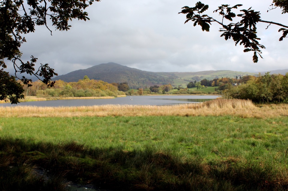 ModerateWray Castle to Low Loanthwaite3.7 km · 1.5 hr · At the trailheadMeadows, woodland, and Blelham Tarn on a short valley crossing
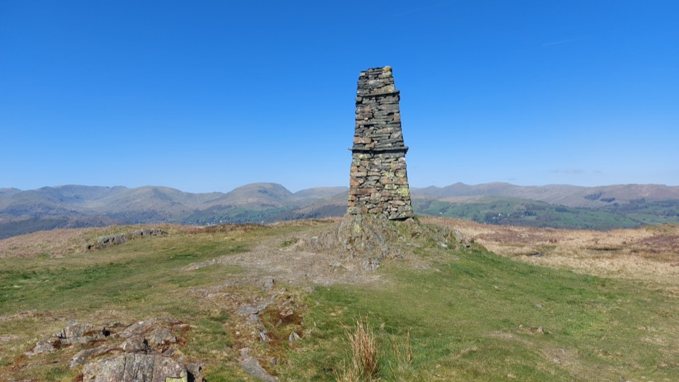 ModerateWray to Latterbarrow Circular Walk7.7 km · 2.5 hr · 0.1 km awayLakeshore start, field climbs, then a 244m summit with tarn views
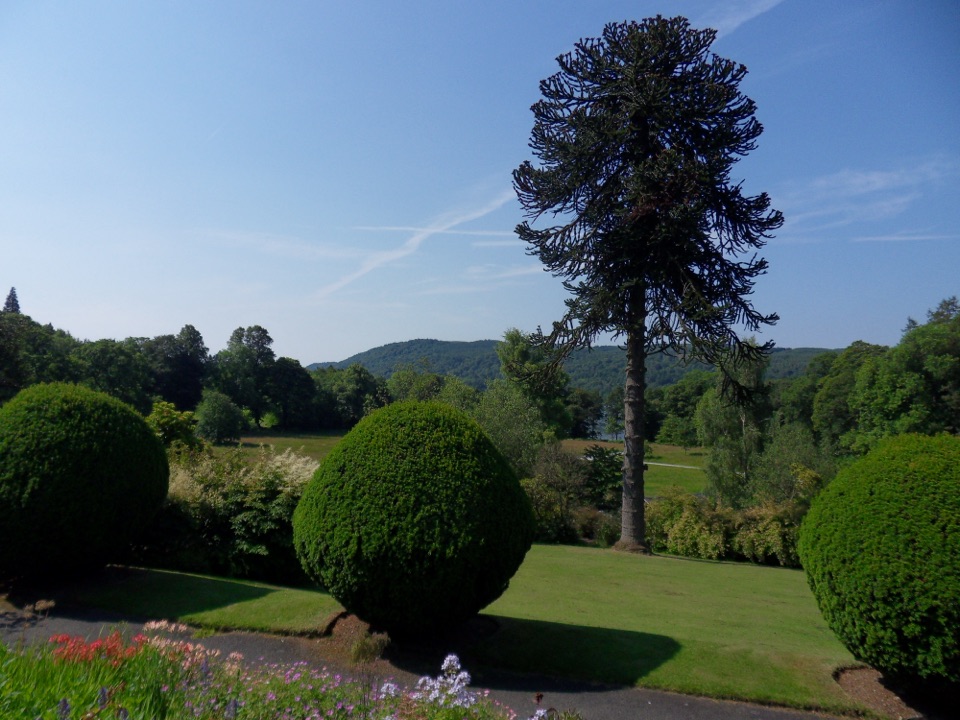 EasyBrockhole Lakeshore Loop1.5 km · 30 min · 1.7 km awayStep-free 1.5 km loop past gardens to the Windermere lakeshore
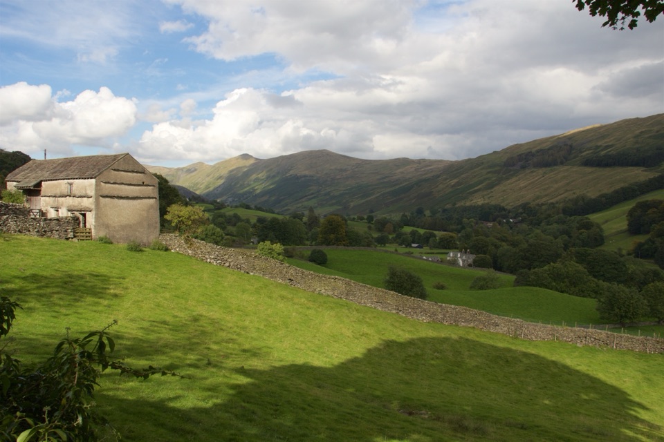 ModerateTownend and Troutbeck Valley Walk6.4 km · 2.5 hr · 1.7 km awayA gentle circuit of fell scenery, old lanes, and historic Townend
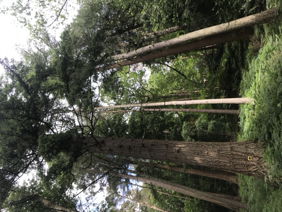 EasyAmbleside Champion Tree Trail1.3 km · 45 min · 1.9 km awayShort woodland loop past some of England's tallest champion trees
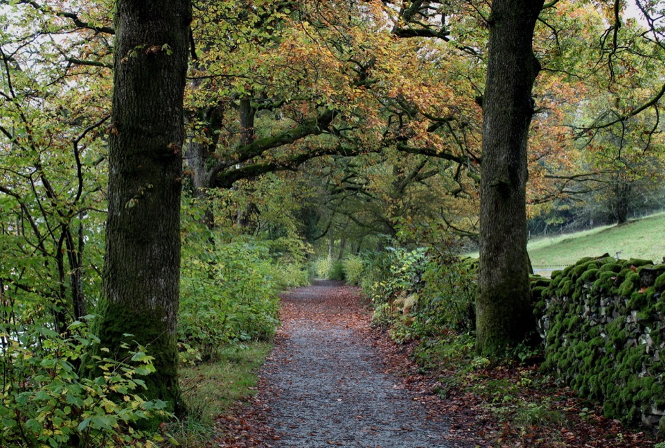 ModerateRed Nab to High Wray Bay5 km · 2 hr · 1.9 km awayA quiet lakeside track through oak woods to High Wray and Wray Castle
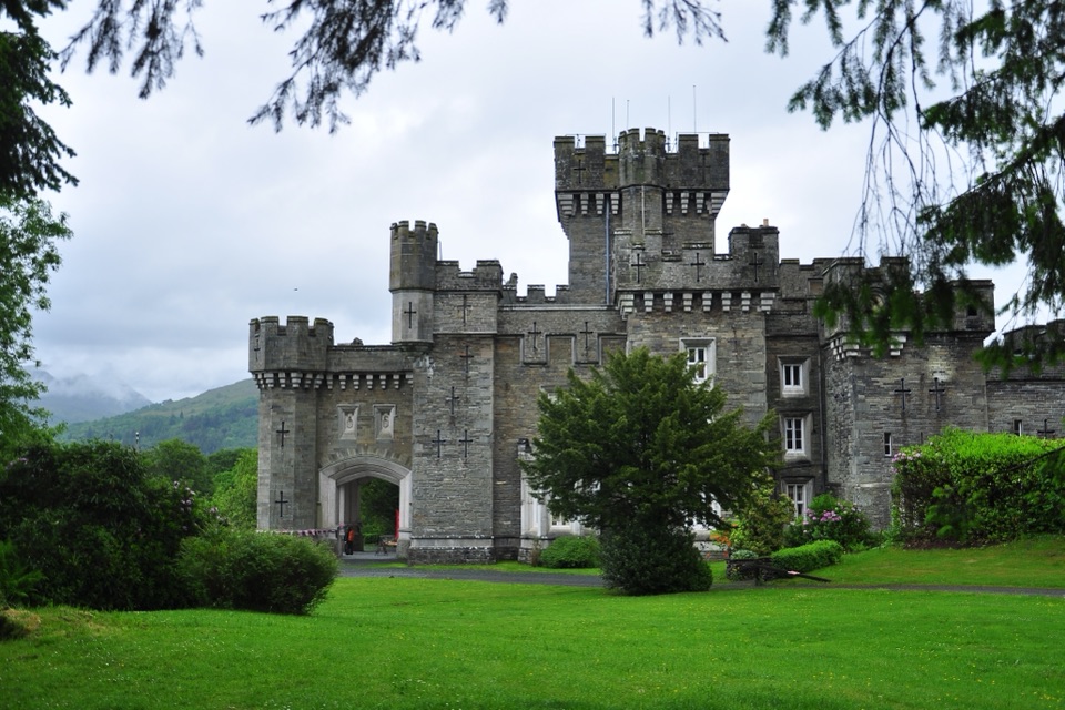 ModerateClappersgate to Wray Castle8.2 km · 2.8 hr · 2.6 km awayA gentle lakeside walk through woodland to a mock-Gothic castle.
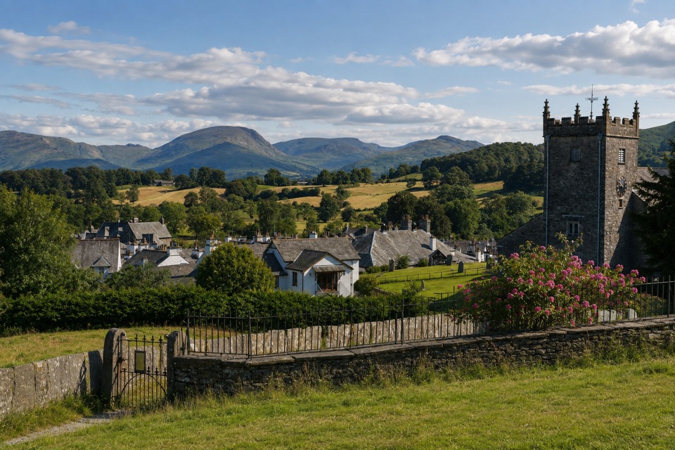 EasyHawkshead to Loanthwaite Lane2 km · 1 hr · 3.5 km awayEasy stone tracks and hedged lanes through meadows north of HawksheadSight · At the trailheadWray CastleA turreted lakeshore estate tied to Beatrix Potter's first visit
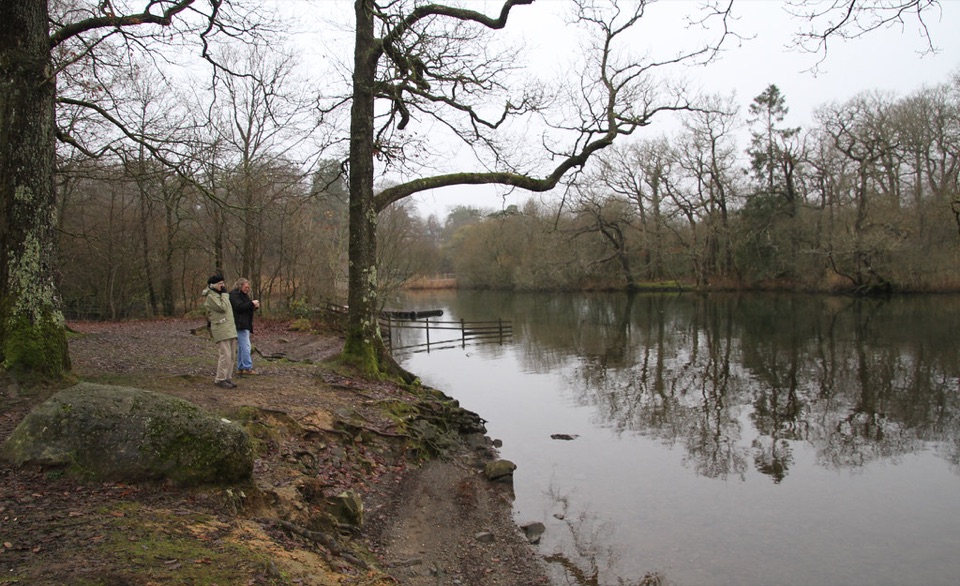 Campground · 0.7 km awayLow Wray CampsiteLakeside camping beside Windermere, with Wray Castle next door
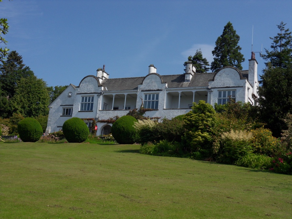 Sight · 1.5 km awayBrockhole on WindermereMawson gardens, woodland, and Windermere shore in one easy stop
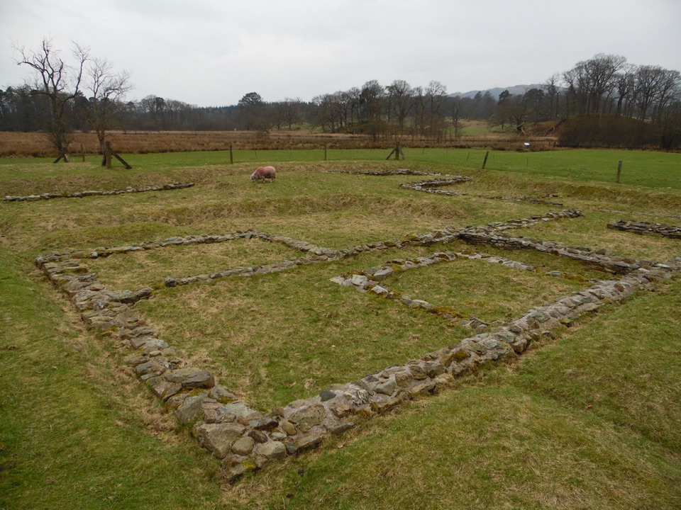 Sight · 2.4 km awayAmbleside Roman FortLow stone foundations make a Roman garrison surprisingly legible
 Sight · 3.5 km awayWindermereEngland's longest lake, lined with wooded shores and mountain views
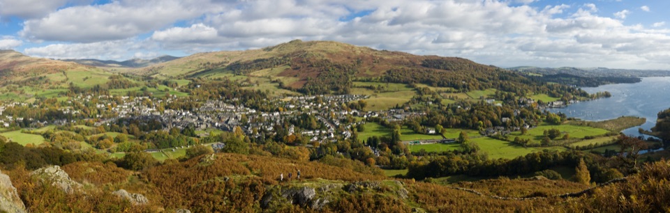 Sight · 3.5 km awayAmblesideOutdoor shops and old slate streets, with Windermere a mile away
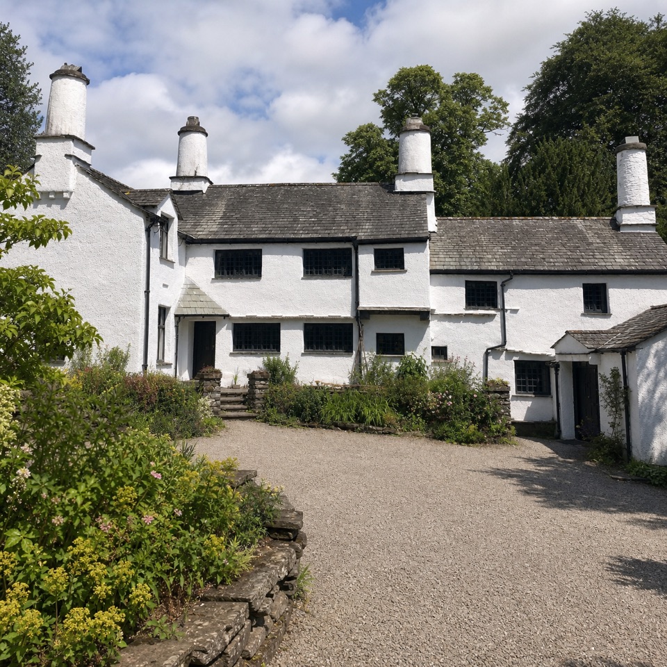 Sight · 3.5 km awayTownendA lived-in farmhouse where 400 years of Browne family life remain.
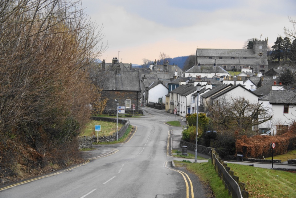 Sight · 3.6 km awayHawksheadCobbled lanes, white cottages, and a church above old market squares
Parkwolf’s Lake District ranking
The audio tour guide for the drive, plus offline maps, trails, and wildlife heatmaps for when the signal drops.





