Parking
Use Wray Castle car park, Low Wray (LA22 0JA), the official start and finish. Access is from the B5286; the route starts from the back of the car park.
Lake District National Park, EN
Lakeshore start, field climbs, then a 244m summit with tarn views
Overview
Map & elevation
Plan your hike

The highest, rockiest slopes around here are a summer buffet for grizzly bears.
Lake District Tour Guide
Parkwolf is a GPS audio tour guide for Lake District National Park. As you drive, it chimes in with what’s ahead: hidden gems, upcoming stops, history, geology, and wildlife, right through your car’s speakers.
Recorded for this trailhead
Wray Castle: Grounds and Blelham Tarn“You're approaching Wray Castle, where turrets and woodland make an unusual backdrop to a walk beside Windermere. The towers and arrow slits look medieval, but this was built as a Victorian country house.”
Plays as you drive up to this trailhead in the Parkwolf Lake District Tour Guide.
More stories near here in the app
“Fantastic app with many points of information… It’s great to just turn on while you’re driving and it gives you an audio tour of the national Park. We love it!!!!”


Trail guide
A circular loop of 4.8 miles (7.68 km) total, usually walked in about 2.5 hours. It starts and finishes at the Wray Castle car park, with about 290 m of climbing spread across a few distinct pulls.
1. Set off along the lakeshore, passing a large boathouse.
2. Turn up through fields, over a stone stile and onto a road.
3. Follow the track toward High Wray Basecamp and into forestry woodland.
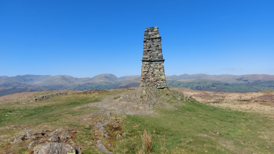
4. Take the winding footpath, cross a stream and climb to the 244 m summit of Latterbarrow, marked by its stone monument.
5. Descend on a wall-side path, cross another stream and reach the road at Loanthwaite Lane.
6. Pick up the signed High Tock How footpath through fields, over a stream and stile, and through a farmyard.
7. Continue past Hole House toward Wray church, then back to the castle and car park.
The summit of Latterbarrow is the high point of the walk. On the stretch heading back toward Wray church you get Blelham Tarn below, with the Fairfield Horseshoe and Red Screes on the skyline. Between those points the walking is lake edge, fields, forestry woodland and farm lanes.
Rated moderate. The route uses countryside footpaths, tracks and roads, with repeated climbs and descents, several stiles and kissing gates, stream crossings and a footbridge.
Start and finish at Wray Castle car park, where there are toilets, a cafe, designated blue badge parking and accessible toilets. The official route is described as dog friendly, though the stiles and kissing gates may make it awkward with a dog.
The shorter 3.5 mile Wray Castle to Blelham Tarn loop is an official alternative without the summit climb, and is the better pick if the stiles and ascent sound like too much.
Wildlife
 81 sightingsRed DeerMost seen around 7 PMSighting map
 13 sightingsEurasian OtterMost seen around 6 AMSighting map
 76 sightingsOspreyMost seen around 8 AMSighting map
 51 sightingsEuropean BadgerMost seen around 8 PMSighting map
 233 sightingsMute SwanMost seen around 6 PMSighting map
 176 sightingsGrey HeronMost seen around 7 AMSighting map
Sighting maps show where each species has been reported across Lake District. Wildlife moves, so no sighting is guaranteed.
Keep exploring
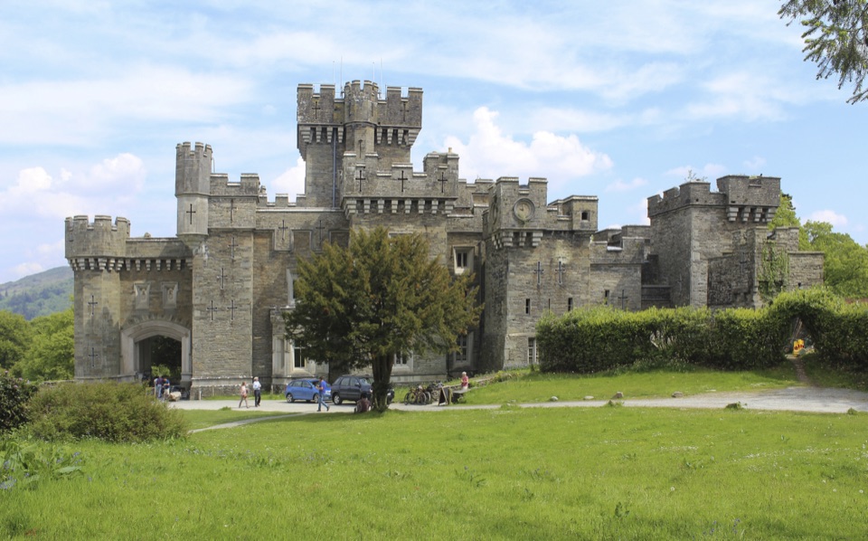 EasyWray Castle to Blelham Tarn Circular Walk5.6 km · 1.8 hr · 0.1 km awayGothic castle, hidden tarn and Windermere shore in 3.5 miles
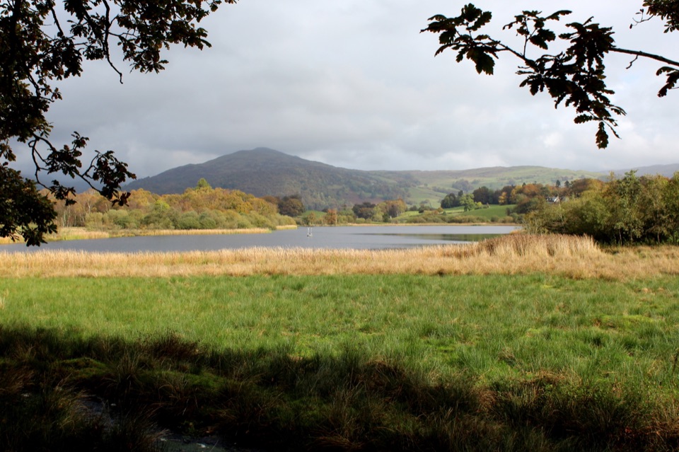 ModerateWray Castle to Low Loanthwaite3.7 km · 1.5 hr · 0.1 km awayMeadows, woodland, and Blelham Tarn on a short valley crossing
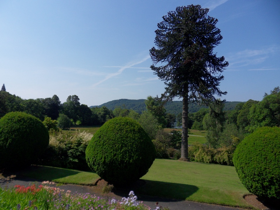 EasyBrockhole Lakeshore Loop1.5 km · 30 min · 1.6 km awayStep-free 1.5 km loop past gardens to the Windermere lakeshore
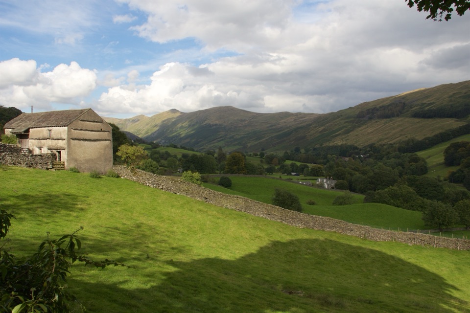 ModerateTownend and Troutbeck Valley Walk6.4 km · 2.5 hr · 1.6 km awayA gentle circuit of fell scenery, old lanes, and historic Townend
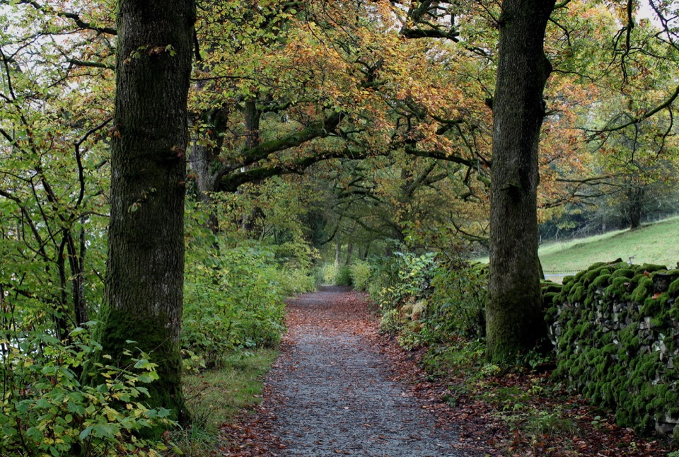 ModerateRed Nab to High Wray Bay5 km · 2 hr · 1.9 km awayA quiet lakeside track through oak woods to High Wray and Wray Castle
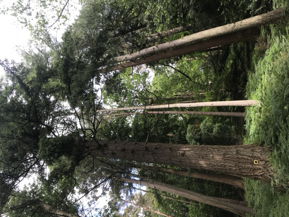 EasyAmbleside Champion Tree Trail1.3 km · 45 min · 1.9 km awayShort woodland loop past some of England's tallest champion trees
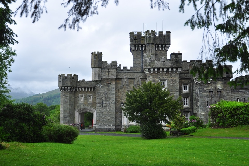 ModerateClappersgate to Wray Castle8.2 km · 2.8 hr · 2.7 km awayA gentle lakeside walk through woodland to a mock-Gothic castle.
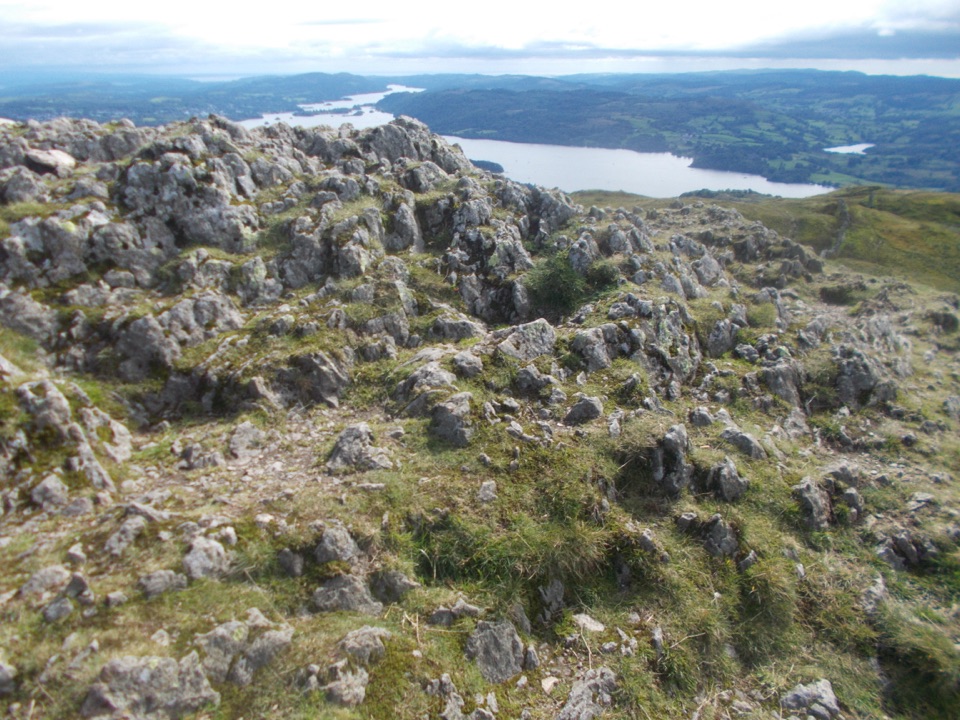 ModerateAmbleside to Troutbeck Walk10.7 km · 4.5 hr · 3.5 km awayClimb pitched steps to a Windermere panorama, then loop through TroutbeckSight · At the trailheadWray CastleA turreted lakeshore estate tied to Beatrix Potter's first visit
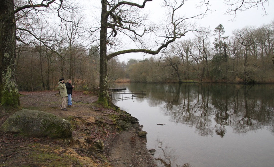 Campground · 0.8 km awayLow Wray CampsiteLakeside camping beside Windermere, with Wray Castle next door
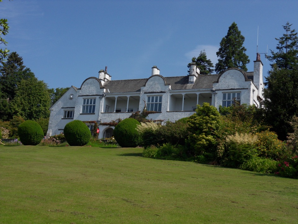 Sight · 1.4 km awayBrockhole on WindermereMawson gardens, woodland, and Windermere shore in one easy stop
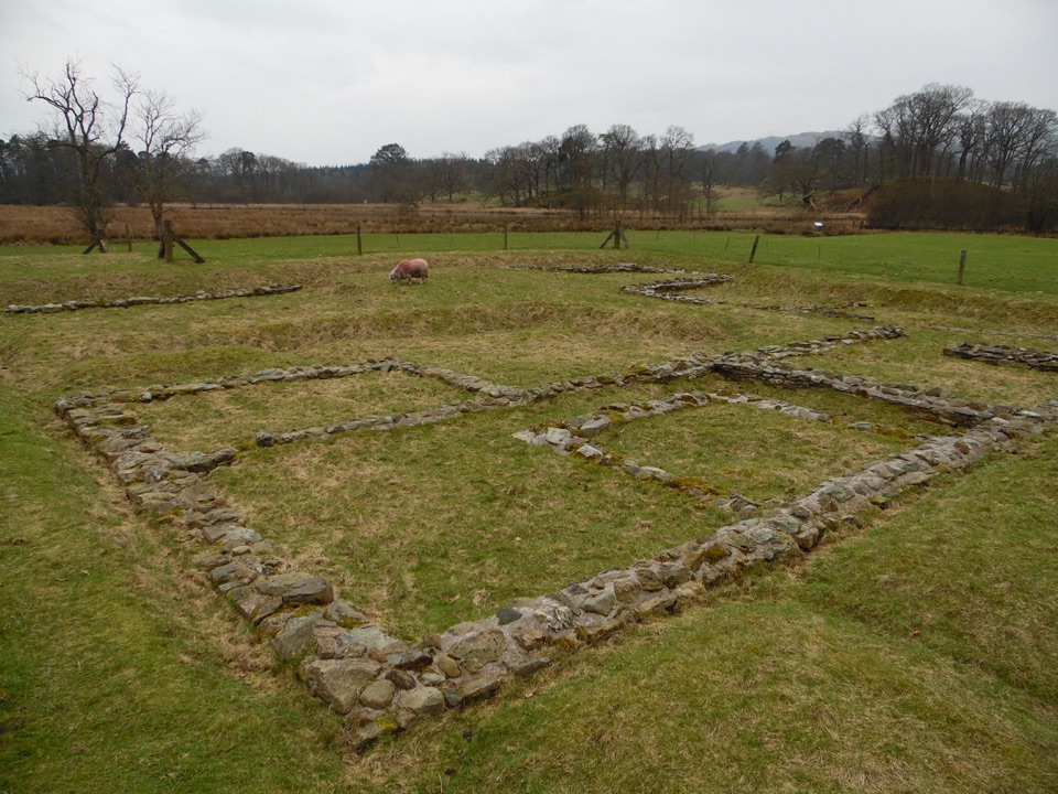 Sight · 2.4 km awayAmbleside Roman FortLow stone foundations make a Roman garrison surprisingly legible
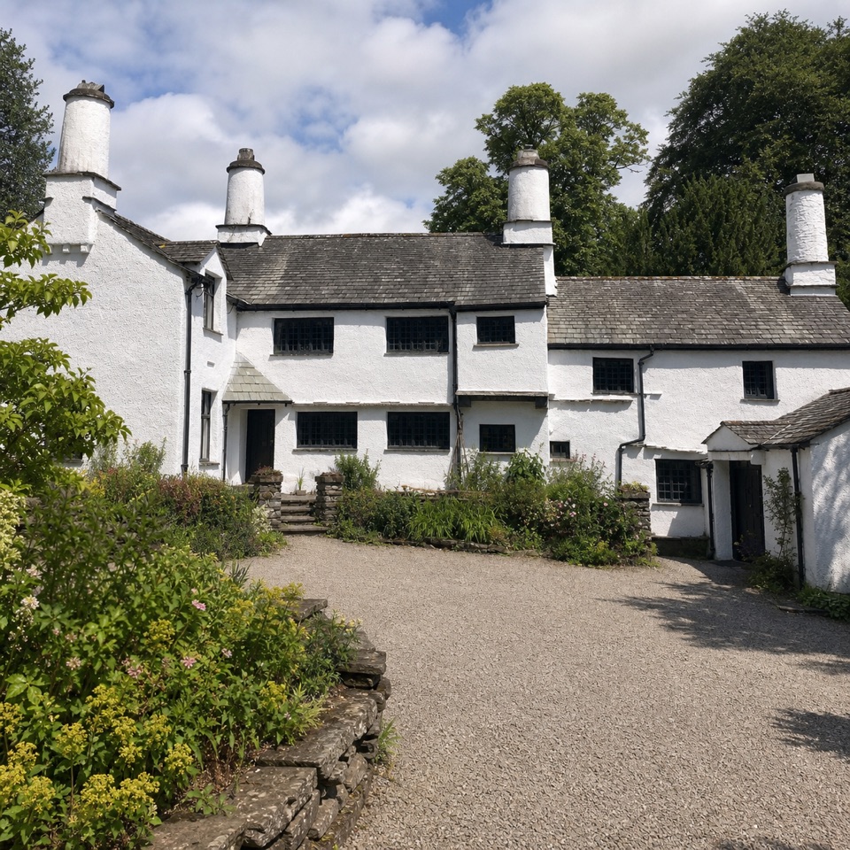 Sight · 3.4 km awayTownendA lived-in farmhouse where 400 years of Browne family life remain.
 Sight · 3.4 km awayWindermereEngland's longest lake, lined with wooded shores and mountain views
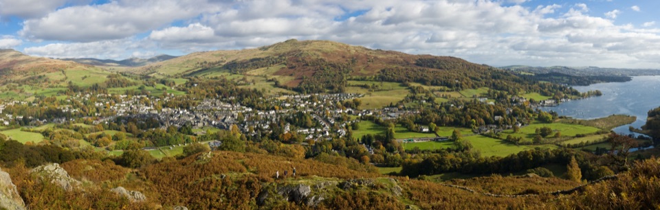 Sight · 3.5 km awayAmblesideOutdoor shops and old slate streets, with Windermere a mile away
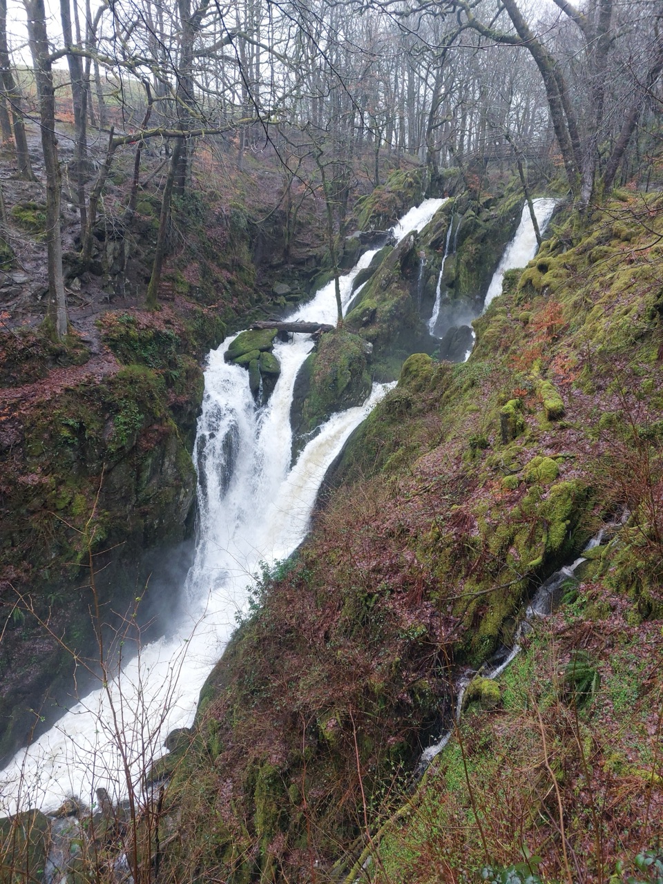 Sight · 3.7 km awayStock Ghyll ForceA short woodland walk to a 70-foot cascade above Ambleside
Parkwolf’s Lake District ranking

The audio tour guide for the drive, plus offline maps, trails, and wildlife heatmaps for when the signal drops.





