Parking
Small Stagshaw Garden National Trust car park off the A591, LA22 0HE. Waterhead is the alternative parking area.
Lake District National Park, EN
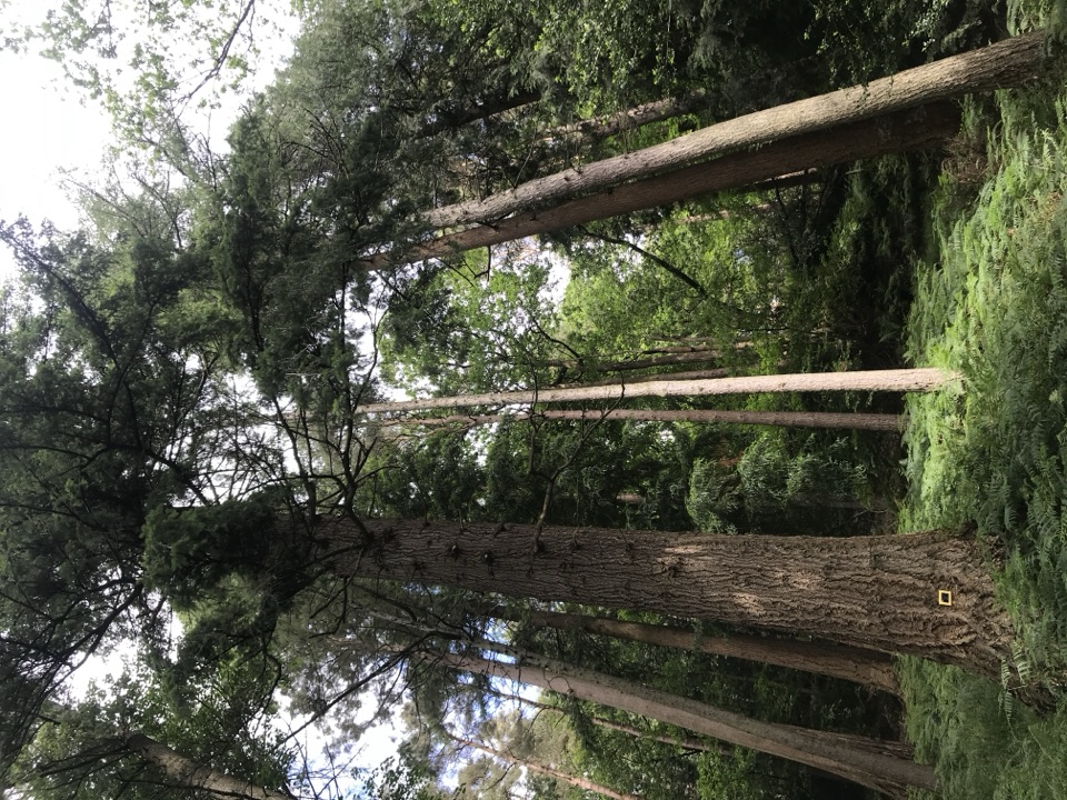
Short woodland loop past some of England's tallest champion trees
Overview
Map & elevation
Plan your hike

The highest, rockiest slopes around here are a summer buffet for grizzly bears.
Lake District Tour Guide
Parkwolf is a GPS audio tour guide for Lake District National Park. As you drive, it chimes in with what’s ahead: hidden gems, upcoming stops, history, geology, and wildlife, right through your car’s speakers.
Recorded for this trailhead
Stagshaw: The Champion Tree Trail“You're getting close to the Stagshaw Garden access, where the Champion Tree Trail offers a short walk among some enormous conifers.”
Plays as you drive up to this trailhead in the Parkwolf Lake District Tour Guide.
More stories near here in the app
“Fantastic app with many points of information… It’s great to just turn on while you’re driving and it gives you an audio tour of the national Park. We love it!!!!”


Trail guide
A waymarked circular walk of 0.8 miles (1.28km) through Skelghyll Woods above Ambleside, with around 45 minutes a realistic allowance if you stop to look up. The loop returns to the same car park you started from.
From the Skelghyll Woods sign the path passes a picnic bench and a historic track, then climbs among conifers planted in Victorian times. The short steep pull leads into the Gallery of Giants, the heart of the walk, where Wellingtonia and Douglas firs stand alongside the tallest grand fir in England. Beyond the big trees the route passes a rocky outcrop, an old charcoal hearth and a further conifer grove, then levels off before a wide track drops back downhill beside a bubbling beck to the car park.
Rated easy overall, on generally wide, undulating tracks, though the path is narrow and bumpy in places. Total ascent is around 90m packed into a short distance, so the one steep climb feels harder than the mileage suggests. The steep section is unsuitable for wheelchairs or pushchairs.
The champion trees are the visual payoff, and placing a person at the base of one of the giants is the simplest way to give the scale of them in a frame.
Start and finish at the Stagshaw Garden National Trust car park off the A591, postcode LA22 0HE, grid reference NY38100290. It is small, with room for about eight cars, and Waterhead is the alternative parking area. Dogs are welcome on leads because animals graze here. Three picnic benches along the route make this an easy outing with children or a packed lunch.
The longer Skelghyll Woods and Jenkin Crag walk, roughly 1.5 to 3 miles, overlaps part of this trail and adds stepped woodland and rocky sections plus a Windermere viewpoint. It is a bigger outing rather than a simple extension of this circuit.
Wildlife
 81 sightingsRed DeerMost seen around 7 PMSighting map
 13 sightingsEurasian OtterMost seen around 6 AMSighting map
 76 sightingsOspreyMost seen around 8 AMSighting map
 51 sightingsEuropean BadgerMost seen around 8 PMSighting map
 233 sightingsMute SwanMost seen around 6 PMSighting map
 176 sightingsGrey HeronMost seen around 7 AMSighting map
Sighting maps show where each species has been reported across Lake District. Wildlife moves, so no sighting is guaranteed.
Keep exploring
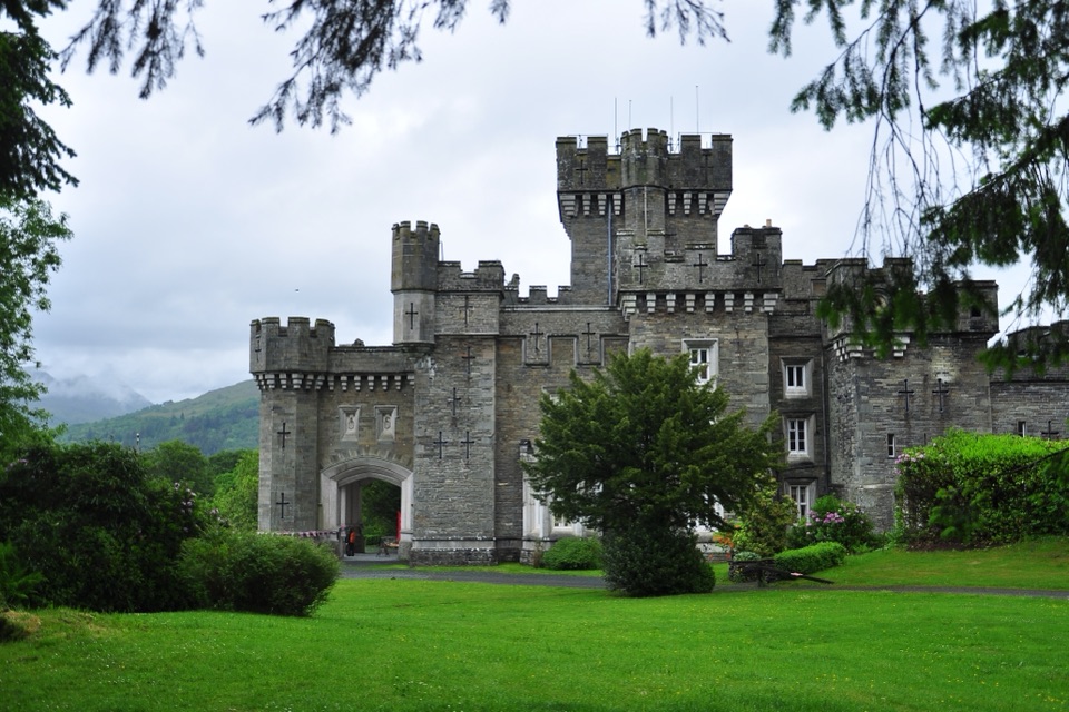 ModerateClappersgate to Wray Castle8.2 km · 2.8 hr · 1.4 km awayA gentle lakeside walk through woodland to a mock-Gothic castle.
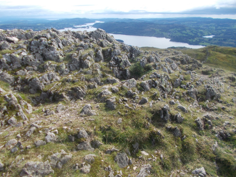 ModerateAmbleside to Troutbeck Walk10.7 km · 4.5 hr · 1.7 km awayClimb pitched steps to a Windermere panorama, then loop through Troutbeck
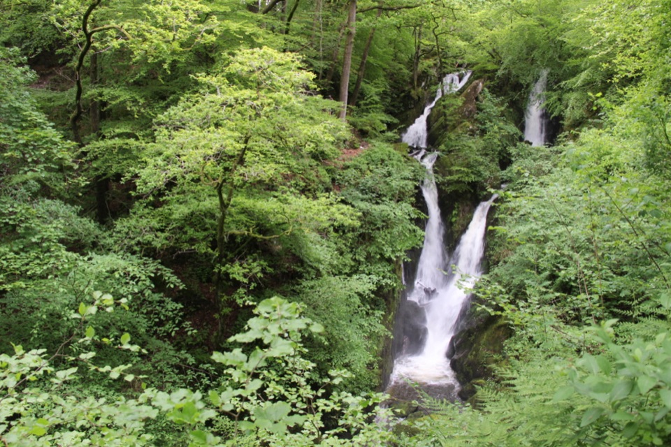 EasyStock Ghyll Force Waterfall Walk1.8 km · 45 min · 1.7 km awayA short wooded climb from Ambleside to a 70-foot gorge waterfall
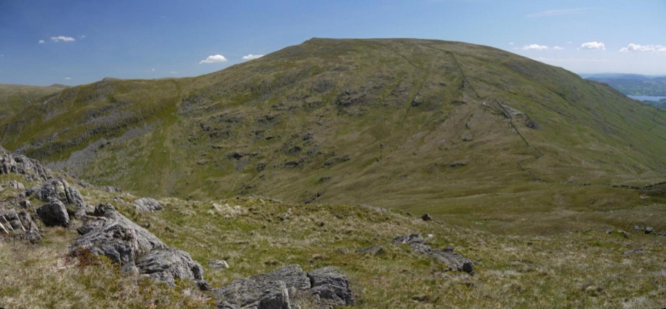 ChallengingRed Screes and Middle Dodd from Ambleside14.2 km · 5 hr · 1.7 km awayA tough two-top circuit with red scree, bog and a summit tarn
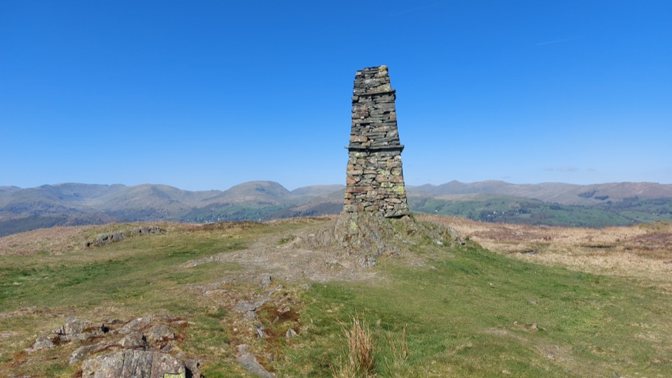 ModerateWray to Latterbarrow Circular Walk7.7 km · 2.5 hr · 1.9 km awayLakeshore start, field climbs, then a 244m summit with tarn views
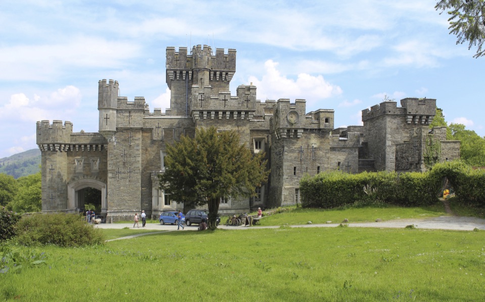 EasyWray Castle to Blelham Tarn Circular Walk5.6 km · 1.8 hr · 1.9 km awayGothic castle, hidden tarn and Windermere shore in 3.5 miles
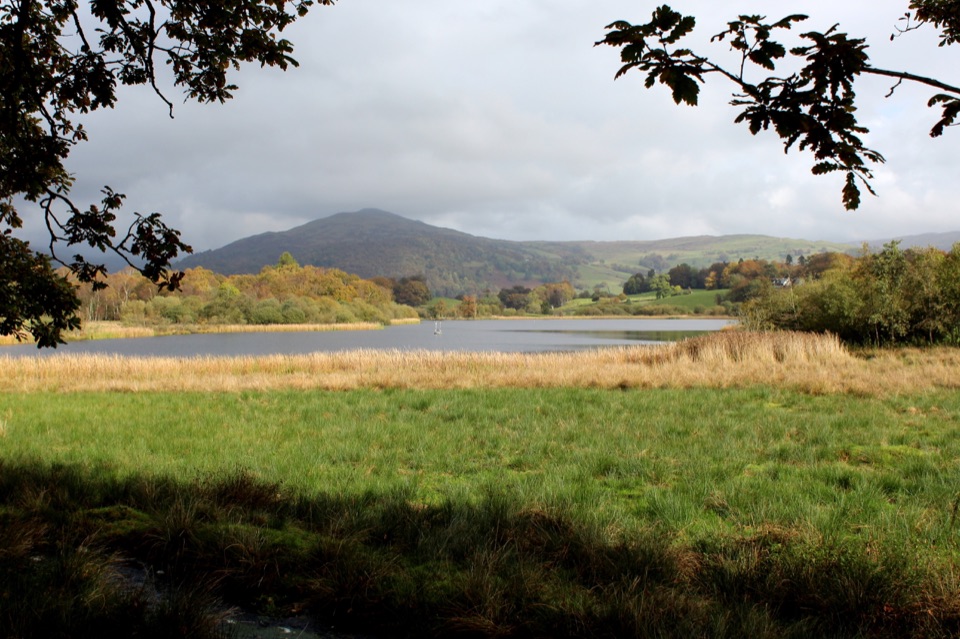 ModerateWray Castle to Low Loanthwaite3.7 km · 1.5 hr · 1.9 km awayMeadows, woodland, and Blelham Tarn on a short valley crossing
 ChallengingThe Fairfield Horseshoe17.2 km · 7 hr · 1.9 km awayEight Wainwright tops in one long, exposed ridge loop above Ambleside
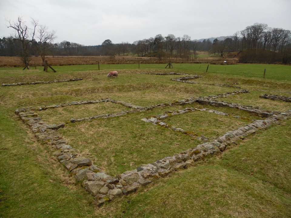 Sight · 0.9 km awayAmbleside Roman FortLow stone foundations make a Roman garrison surprisingly legible
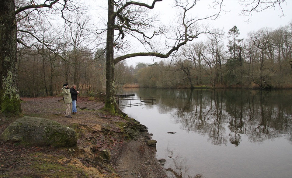 Campground · 1.6 km awayLow Wray CampsiteLakeside camping beside Windermere, with Wray Castle next door
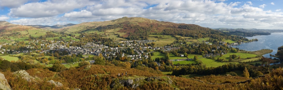 Sight · 1.7 km awayAmblesideOutdoor shops and old slate streets, with Windermere a mile away
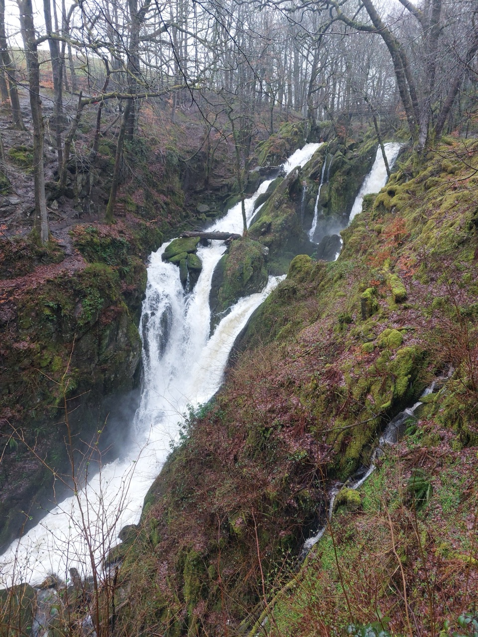 Sight · 1.8 km awayStock Ghyll ForceA short woodland walk to a 70-foot cascade above AmblesideSight · 1.9 km awayWray CastleA turreted lakeshore estate tied to Beatrix Potter's first visit
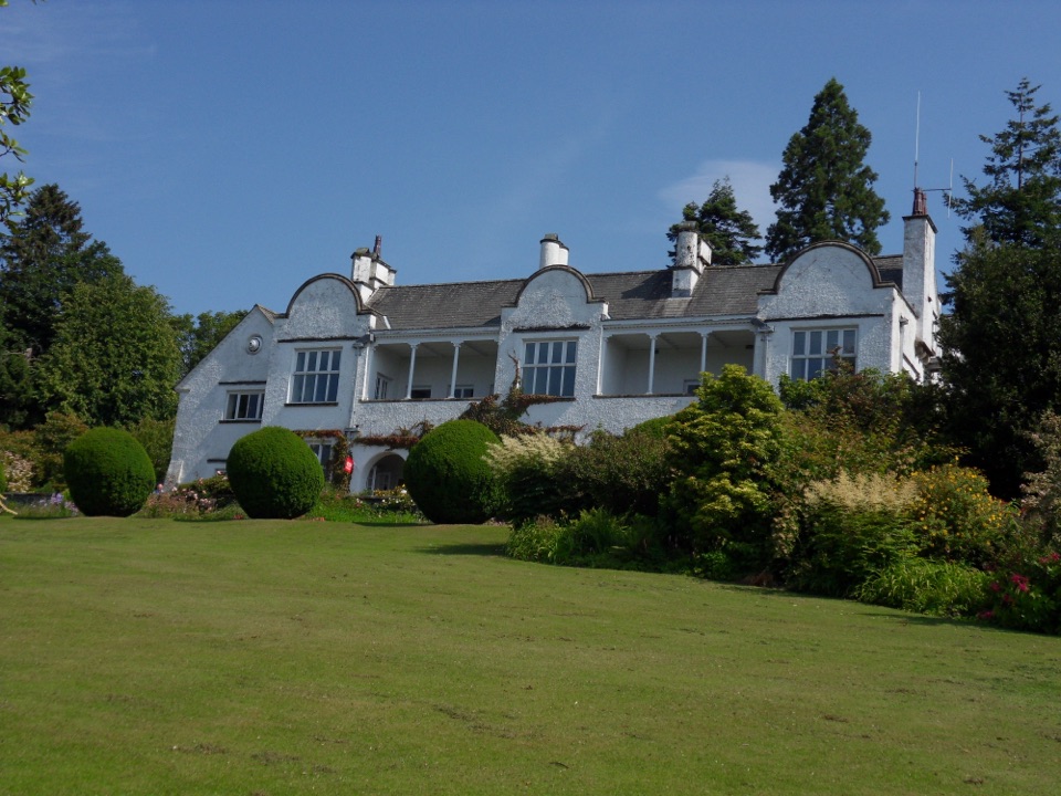 Sight · 2.1 km awayBrockhole on WindermereMawson gardens, woodland, and Windermere shore in one easy stop
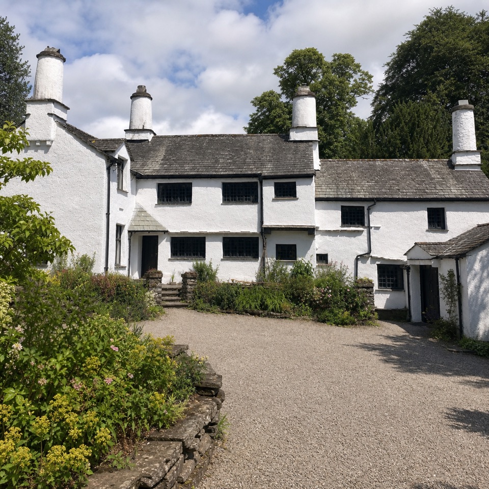 Sight · 2.8 km awayTownendA lived-in farmhouse where 400 years of Browne family life remain.
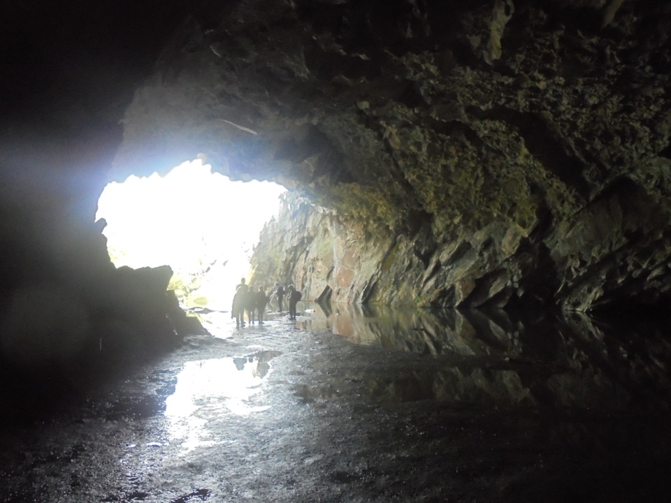 Sight · 3.8 km awayRydal CaveA former slate quarry opens onto water, stone, and fell views
Parkwolf’s Lake District ranking

The audio tour guide for the drive, plus offline maps, trails, and wildlife heatmaps for when the signal drops.




