Parking
Use the Cook Mountain Preserve parking area and kiosk on Baldwin Road. Off-street spaces are limited, and the lot is not plowed in winter.

Lake George NY, NY
A short woodland detour to Cook Mountain's historic cemetery.
Overview
Map & elevation
Plan your hike

The highest, rockiest slopes around here are a summer buffet for grizzly bears.
Lake George Tour Guide
Parkwolf is a GPS audio tour guide for Lake George NY. As you drive, it chimes in with what’s ahead: hidden gems, upcoming stops, history, geology, and wildlife, right through your car’s speakers.
See the Lake George audio tourRecorded for this trailhead
Cook Mountain Preserve“You're nearing Cook Mountain Preserve, where a steep, rocky climb on the Ridges Trail earns a view down Lake George. Allow two to three hours for the roughly three-mile round trip, even though the approach starts gently.”
Plays as you drive up to this trailhead in the Parkwolf Lake George Tour Guide.
More stories near here in the app
“Fantastic app with many points of information… It’s great to just turn on while you’re driving and it gives you an audio tour of the national Park. We love it!!!!”


Trail guide
Cook Mountain's Blue Trail is a short out-and-back to a historic cemetery, starting at the preserve lot on Baldwin Road. Plan on about 0.84 mile round trip and roughly 45 minutes with a pause at the cemetery. This is a separate outing from the longer Ridges Trail to the Cook Mountain summit.
Start at the parking area and kiosk. The Yellow Trail opens on a wide, flat path; its loop begins about 0.12 mile in. Continue on Yellow for roughly 0.15 mile to the Blue Trail, then follow the 0.15-mile Blue spur to the cemetery and return the same way. The total is an estimate from the map's separate trail distances, not a posted round-trip figure. The mapped route gains about 250 feet overall; footing beyond the flat opening is not described, so expect a climb rather than a level stroll.
The wooded cemetery is the point of this walk, not a summit viewpoint. Local accounts connect it with Revolutionary War veteran Isaac Morse, while preserve materials describe the cemetery as Civil War-era; the dates do not agree, so its exact history remains unsettled. The old stones and trees make a more useful photo together than a tight crop of one marker. The preserve is open from dawn to dusk year-round, and dogs must stay leashed on marked trails.
Wildlife
 34 sightingsWhite-tailed DeerMost seen around 5 PMSighting map
 26 sightingsTimber RattlesnakeMost seen around 6 PMSighting map
 22 sightingsOspreyMost seen around 7 AMSighting map
 60 sightingsLoonMost seen around 6 AMSighting map
 33 sightingsPorcupineMost seen around 7 PMSighting map
 84 sightingsGreat Blue HeronMost seen around 6 AMSighting map
Sighting maps show where each species has been reported across Lake George. Wildlife moves, so no sighting is guaranteed.
Keep exploring
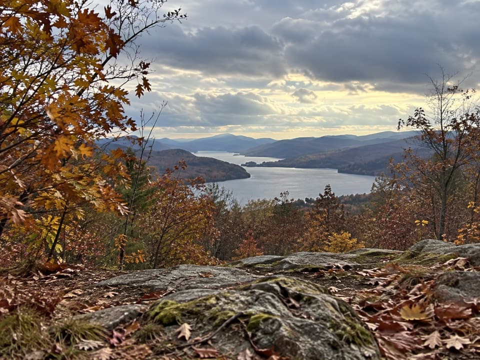 ModerateCook Mountain Ridges Trail2.8 mi · 2.3 hr · At the trailheadA steep ridge climb opens to two very different Lake George views.
 EasyCook Mountain Yellow Trail Loop0.9 mi · 30 min · At the trailheadA short loop past a former beaver pond and old rail bed.
 EasyLaChute River Walk Interpretive Trail3 mi · 1.8 hr · 2.4 mi awayFollow Ticonderoga’s mill history from parkland to the river outlet.
 ModerateAnthony’s Nose Preserve Blue Trail to Record Hill1.6 mi · 1.5 hr · 3.4 mi awayTwo Lake George viewpoints on a short but steep Blue Trail.
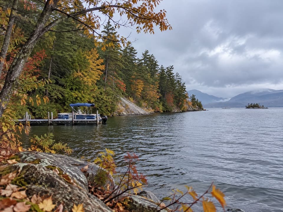 EasySucker Brook Preserve North Blue Trail2.8 mi · 1.8 hr · 3.9 mi awayA wooded route to a seasonal dock on Lake George
 EasyAndia-te-roc-te Trail0.9 mi · 36 min · 3.9 mi awayA short wetlands-view loop reached by the preserve’s Blue Trail.
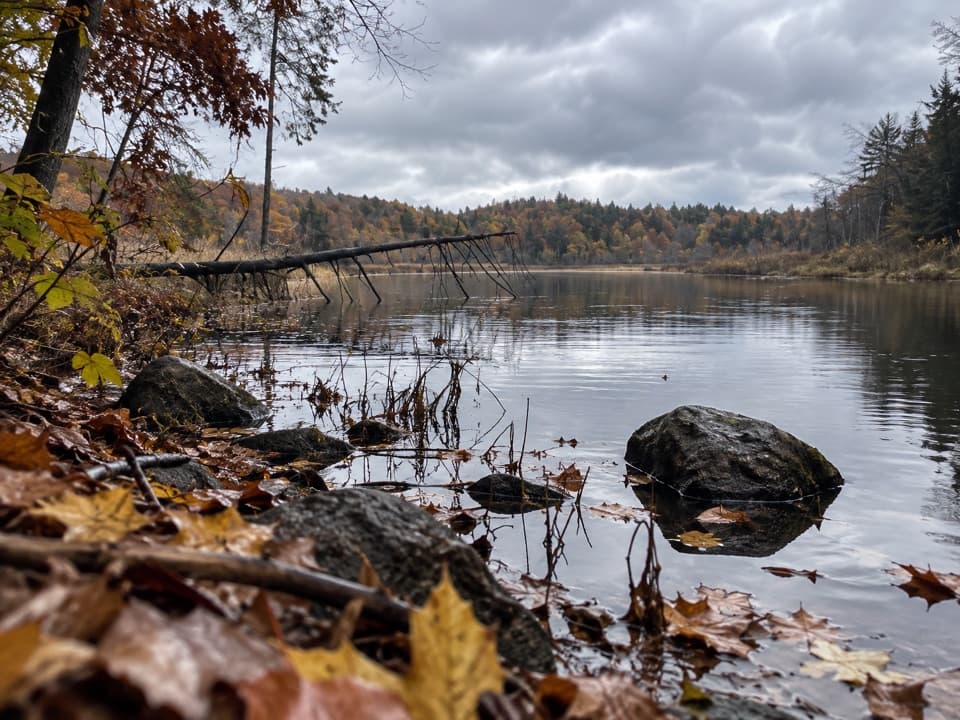 EasySucker Brook Preserve North Green Trail0.6 mi · 30 min · 3.9 mi awayA short walk to a beaver-built pond.
 EasySucker Brook Preserve White Trail1 mi · 30 min · 4.8 mi awayAn easy spur beside a rare northern white cedar swamp.
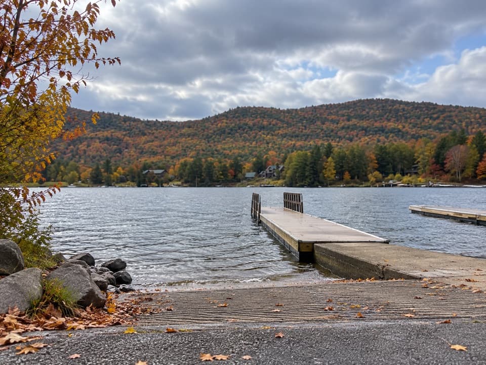 Sight · 0.7 mi awayMossy Point Boat LaunchHard ramp, trailer parking and a quieter way onto the north end
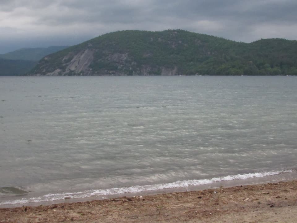 Beach · 1 mi awayBlack Point BeachA sandy swim with Rogers Rock filling the far shore.
 Sight · 1.9 mi awayMount DefianceSee the height that helped force Fort Ticonderoga’s 1777 retreat.
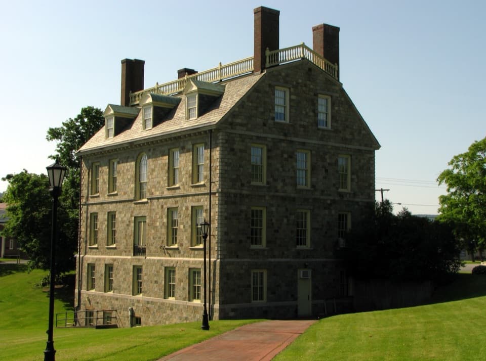 Sight · 2.2 mi awayHancock House MuseumA Georgian Revival house packed with Adirondack and Champlain history.
 Sight · 2.3 mi awayStar Trek Original Series Set TourWalk the Enterprise sets and see how TV built the illusion.
 Sight · 2.4 mi awayTiconderoga Heritage Museum & Visitor CenterPencils, paper mills and local history inside an 1888 office.
 Sight · 2.4 mi awayPercy Thompson Bicentennial ParkA quick riverfront stop for the La Chute’s last cascade.
 Campground · 2.6 mi awayBrookwood RV ResortA wooded 85-site base with cabins, tents, and full RV hookups.
Parkwolf’s Lake George ranking

The audio tour guide for the drive, plus offline maps, trails, and wildlife heatmaps for when the signal drops.





