Parking
Use the Anthony’s Nose Preserve parking area on Schwerdtfeger Road, about 0.1 mile uphill from Route 1/Glenburnie Road. The lot is not plowed in winter; the preserve notes that a few roadside spaces may be available.

Lake George NY, NY
Two Lake George viewpoints on a short but steep Blue Trail.
Overview
The Anthony’s Nose Preserve Blue Trail to Record Hill is a 1.6-mile out-and-back from Schwerdtfeger Road to two rocky viewpoints above Lake George. It is a short hike with a steep finish, best for people who want a pair of lake views more than a long walk. Allow about 1½ hours to climb, look around, and return.
 Parkwolf’s verdictWorth the climb
Map & elevation
Plan your hike

The highest, rockiest slopes around here are a summer buffet for grizzly bears.
Lake George Tour Guide
Parkwolf is a GPS audio tour guide for Lake George NY. As you drive, it chimes in with what’s ahead: hidden gems, upcoming stops, history, geology, and wildlife, right through your car’s speakers.
See the Lake George audio tourMore stories near here in the app
“Fantastic app with many points of information… It’s great to just turn on while you’re driving and it gives you an audio tour of the national Park. We love it!!!!”


Trail guide
The trail heads west at a moderate grade for about 0.3 mile. For the first quarter-mile, it follows a right-of-way beside a fence along the southern boundary; stay on the marked trail and do not cross it. The path then turns north and climbs more sharply for about half a mile, gaining roughly 665 feet to Record Hill at 1,265 feet. The 0.8-mile distance is the climb to the viewpoints; the return follows the same corridor. Expect rocky, uneven footing on the upper slope.
The main opening looks west and south across Lake George. Continue on the marked path to the second viewing area, which faces north toward Roger’s Rock. The forested ridges and water give the two openings different views, so it is worth taking the extra few minutes to reach both. From the southern view, a strip of rocky ledge in the foreground helps show the drop toward the lake.
The upper slope is a red-cedar rocky summit community, with red cedar among red oak, shagbark hickory, white ash, hop hornbeam, and serviceberry. Thin, hot soils stress the cedars here, so some dead or dying trees are part of the habitat rather than a sign that the trail has recently been cleared.
The preserve deliberately keeps hikers away from the Anthony’s Nose cliffs to protect peregrine falcon nesting habitat. The marked route ends on Record Hill; there is no official trail onward to the cliffs or Flat Rock. The shoreline below is steep and rocky, so do not try to reach the water from this trail.
Wildlife
 34 sightingsWhite-tailed DeerMost seen around 5 PMSighting map
 26 sightingsTimber RattlesnakeMost seen around 6 PMSighting map
 22 sightingsOspreyMost seen around 7 AMSighting map
 60 sightingsLoonMost seen around 6 AMSighting map
 33 sightingsPorcupineMost seen around 7 PMSighting map
 84 sightingsGreat Blue HeronMost seen around 6 AMSighting map
Sighting maps show where each species has been reported across Lake George. Wildlife moves, so no sighting is guaranteed.
Keep exploring
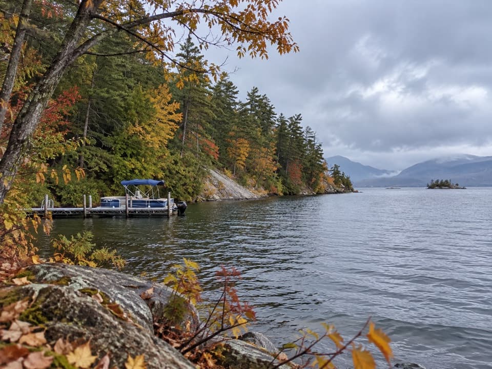 EasySucker Brook Preserve North Blue Trail2.8 mi · 1.8 hr · 0.5 mi awayA wooded route to a seasonal dock on Lake George
 EasyAndia-te-roc-te Trail0.9 mi · 36 min · 0.5 mi awayA short wetlands-view loop reached by the preserve’s Blue Trail.
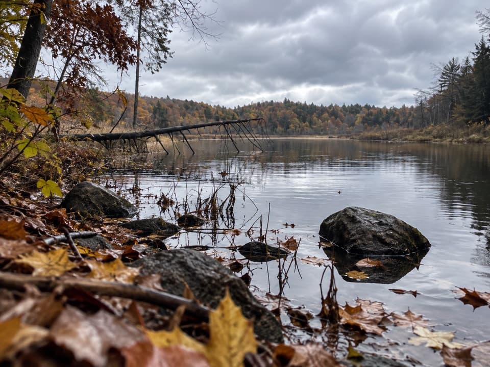 EasySucker Brook Preserve North Green Trail0.6 mi · 30 min · 0.5 mi awayA short walk to a beaver-built pond.
 EasySucker Brook Preserve White Trail1 mi · 30 min · 1.4 mi awayAn easy spur beside a rare northern white cedar swamp.
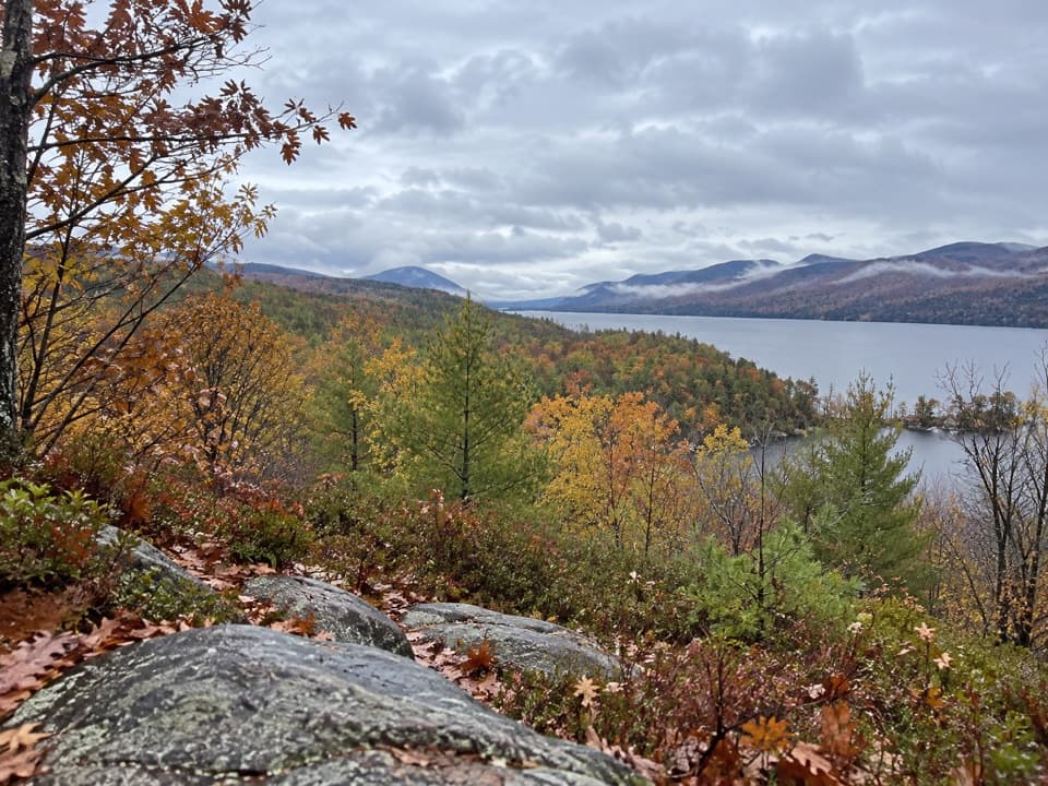 EasySucker Brook Preserve Blue Trail from South Lot0.7 mi · 30 min · 2.2 mi awayA short climb ends at a picnic table above Gull Bay.
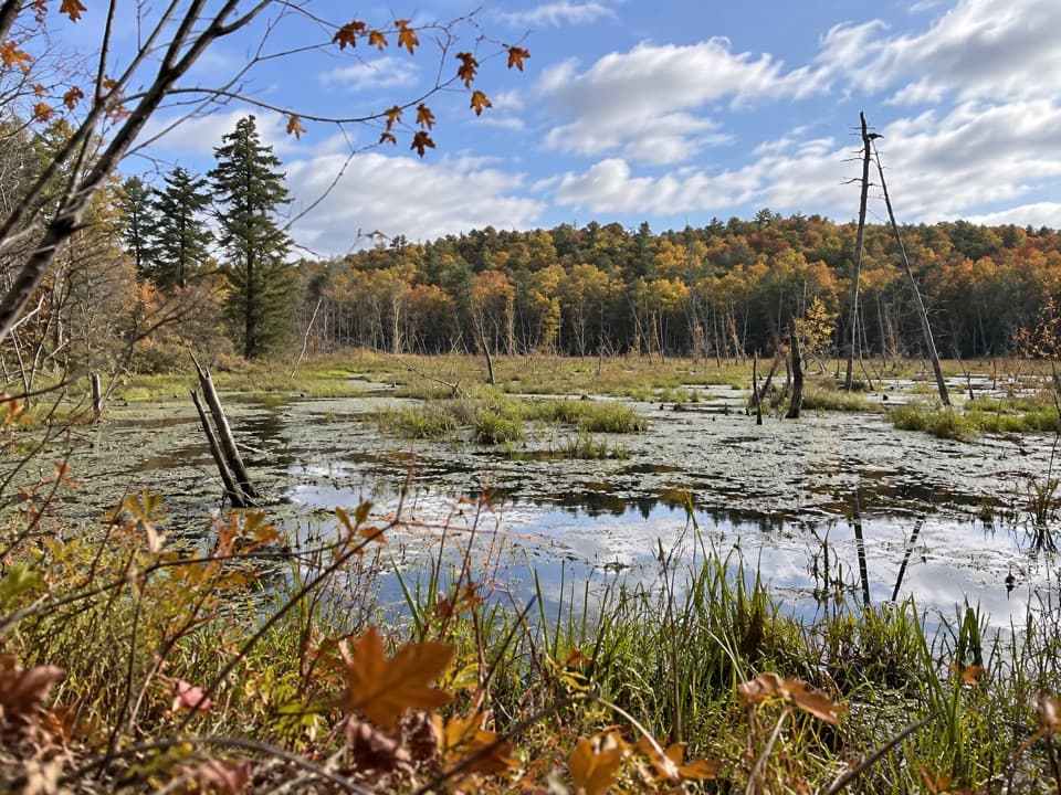 EasySucker Brook Preserve Orange Pond Loop1.6 mi · 1.3 hr · 2.2 mi awayA short loop beside a beaver pond and great blue heron rookery.
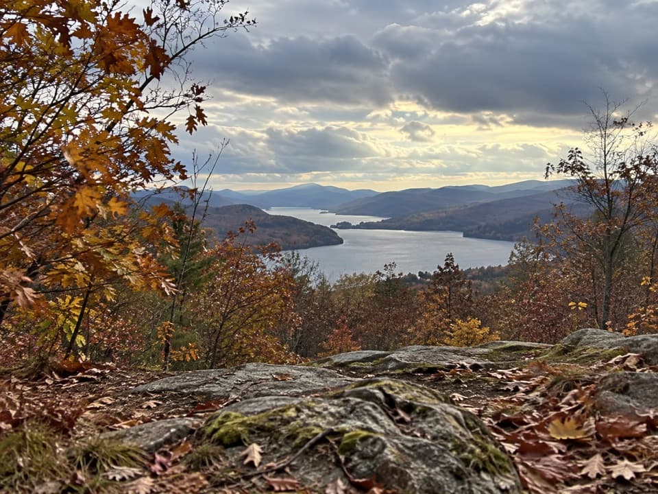 ModerateCook Mountain Ridges Trail2.8 mi · 2.3 hr · 3.4 mi awayA steep ridge climb opens to two very different Lake George views.
 EasyCook Mountain Yellow Trail Loop0.9 mi · 30 min · 3.4 mi awayA short loop past a former beaver pond and old rail bed.
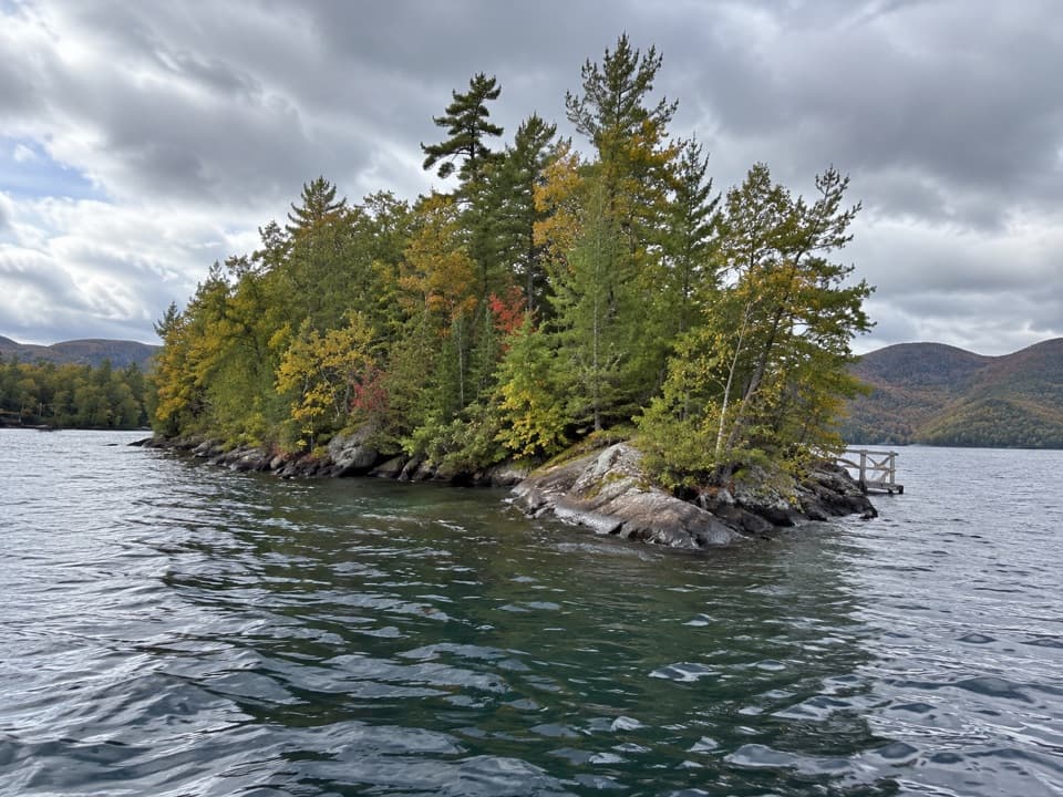 Picnic area · 2 mi awayAsas IslandA small boat-only picnic island with three numbered dock sites.
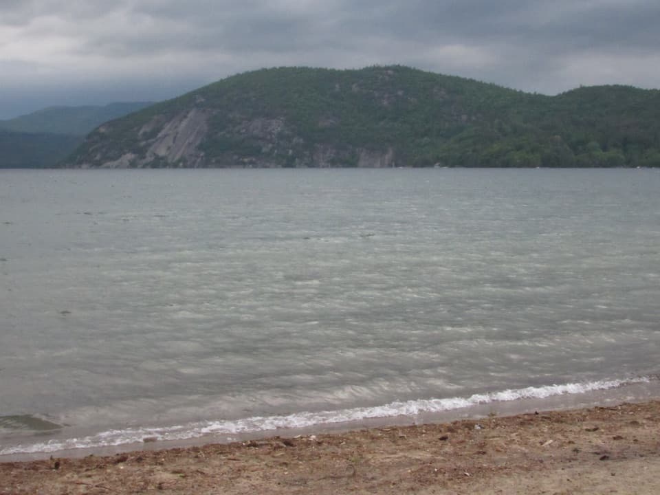 Beach · 2.4 mi awayBlack Point BeachA sandy swim with Rogers Rock filling the far shore.
 Campground · 2.6 mi awayRogers Rock Campground and Day Use AreaA 332-site campground with a sandy Lake George beach.
 Picnic area · 2.9 mi awayPeggy’s PointA shaded lakeside picnic stop with a small flower garden.
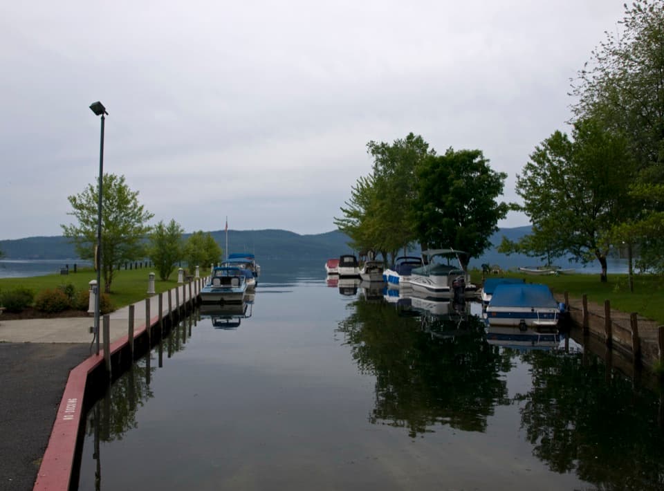 Beach · 3 mi awayHague Town Beach ParkA shallow family beach with a story rooted in one woman's wish.
 Campground · 3.5 mi awayBrookwood RV ResortA wooded 85-site base with cabins, tents, and full RV hookups.
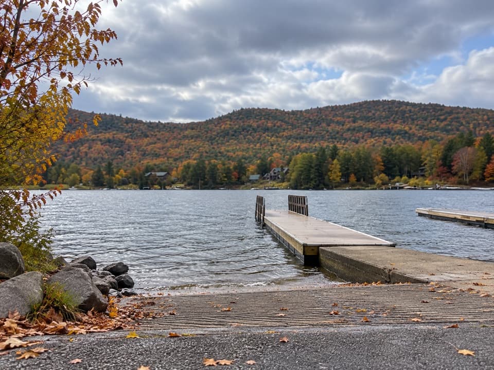 Sight · 3.8 mi awayMossy Point Boat LaunchHard ramp, trailer parking and a quieter way onto the north end
 Sight · 4.8 mi awayMount DefianceSee the height that helped force Fort Ticonderoga’s 1777 retreat.
Parkwolf’s Lake George ranking
The audio tour guide for the drive, plus offline maps, trails, and wildlife heatmaps for when the signal drops.





