Jabe Pond Trail in Lake George NY

Lake George NY, NY

Jabe Pond Trail

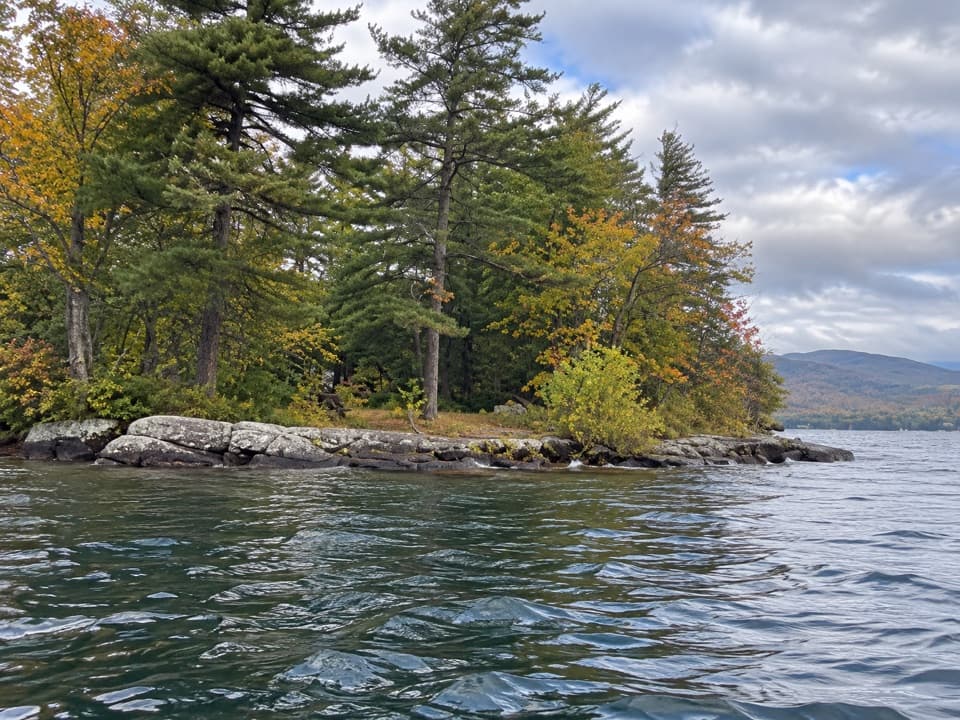
A short pond walk with rocky shore stops along the way.

Length
1.6mi
Time
1hr
Elevation
Flat
Difficulty
Easy
  • Dogs allowed
  • High point 1,325 ft

Hear the audio tour

Where Autumn Colors Come From

Overview

About Jabe Pond Trail

Why go

  • Rocky outcrops give you places to stop beside the water.

Heads up

  • It is an out-and-back, so you retrace the same shore.
  • Walking from Battle Hill Road can add about two miles round trip.

Map & elevation

The route

Loading the Lake George map
Full map
Elevation1,313–1,325 ft
TrailheadJabe Pond hand launch43.71017, -73.53235
Keep this map with you offline in the Parkwolf app

Plan your hike

Before you go

Parking

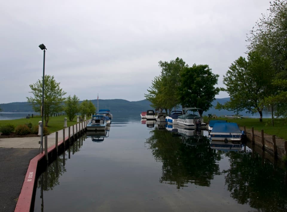
From Route 9N south of Hague, take Split Rock Road to Battle Hill Road, where a parking area serves Jabe Pond. A rough, seasonally accessible road continues about a mile to the pond-side hand launch; if you walk from the Battle Hill Road lot, add about one mile each way. DEC lists parking for 10 cars at the hand launch.

Safety

The marked route ends at the third campsite. Unmarked trails continue around the pond and can be difficult to follow. Dogs must be leashed at the trailhead and campsites and kept under control elsewhere.

2 active Lake George alerts

  • ClosureFishbrook Pond North Lean-to site closedThe entire Fishbrook Pond North Lean-to site is closed because the lean-to burned down. - No camping or campfires are allowed at the site until further notice.Official details
  • CautionNo Parking Zones enforced along River RoadDo not park in the No Parking Zones along River Road in the Hudson River Special Management Area in the Towns of Lake Luzerne and Warrensburg; DEC is enforcing the restriction.Official details
Lake George alerts
A park ranger sits on a dash-mounted phone, talking, as Parkwolf’s Tour Guide plays “Army Cutworm Moths: A Grizzly Bear Buffet” on Grand Loop Road below Dunraven Pass in Yellowstone
Parkwolf Tour GuideThe highest, rockiest slopes around here are a summer buffet for grizzly bears.

Lake George Tour Guide

Your drive to Jabe Pond Trail, narrated.

Parkwolf is a GPS audio tour guide for Lake George NY. As you drive, it chimes in with what’s ahead: hidden gems, upcoming stops, history, geology, and wildlife, right through your car’s speakers.

See the Lake George audio tour

Recorded for this area

Where Autumn Colors Come From
0:00 / 0:32
“Yellow and red autumn leaves get their colors in different ways. During summer, green chlorophyll masks yellow and orange pigments already in the leaf.”

Plays on the road 1.5 mi from the trailhead in the Parkwolf Lake George Tour Guide.

More stories near here in the app

  • Jefferson's Birch-Bark Letter
  • What Forever Wild Protects
  • Hague Town Beach and Peggy’s Point
  • The Bird Coming Down Headfirst
  • 113 audio storiesacross Lake George’s roads, triggered by GPS as you drive
  • Wildlife heatmapsfor White-tailed Deer, Timber Rattlesnake, Osprey, and 13 more
  • Works offlinemaps, 67 trails, 64 places, and audio download before you lose signal
  • CarPlay readysimple controls built for the drive
★★★★★
“Fantastic app with many points of information… It’s great to just turn on while you’re driving and it gives you an audio tour of the national Park. We love it!!!!”
JMJamesApp Store review
Download Parkwolf on the App StoreGet Parkwolf on Google Play

4.7 from 8,600+ ratings

Trail guide

Hiking Jabe Pond Trail

A short shoreline walkJabe Pond Trail is an easy out-and-back along a wooded Adirondack pond.

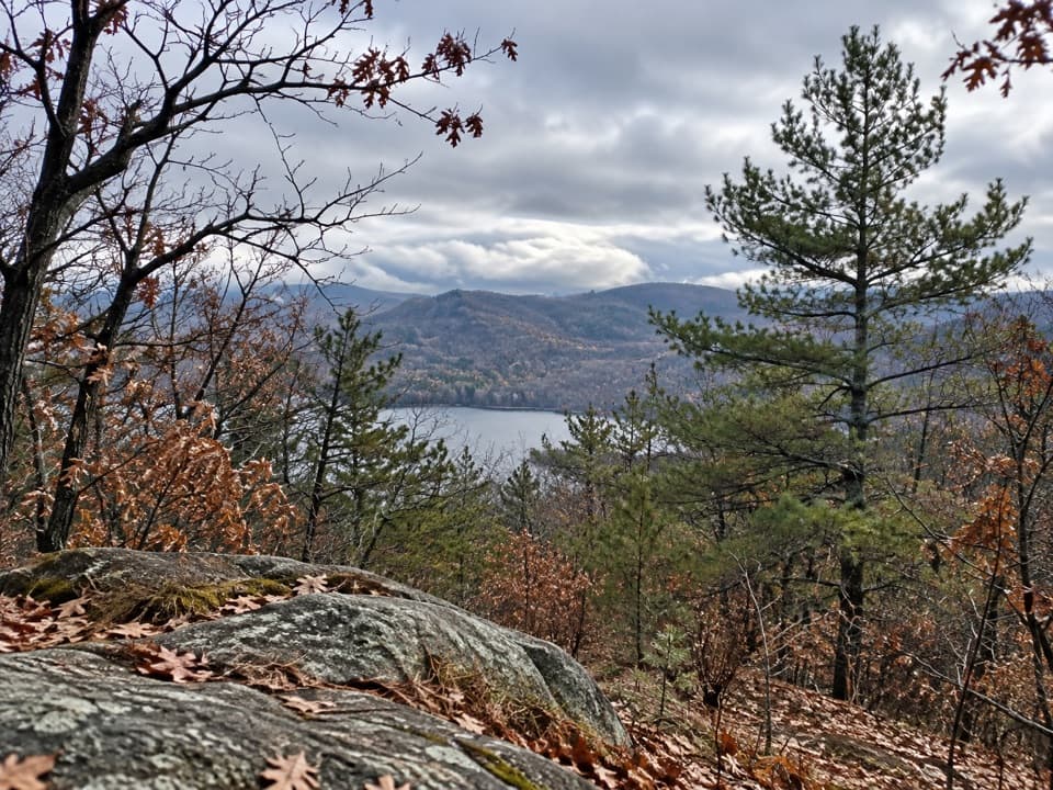
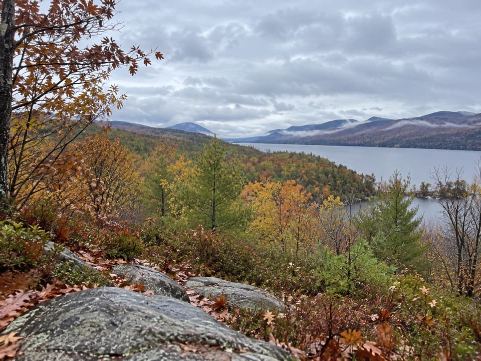
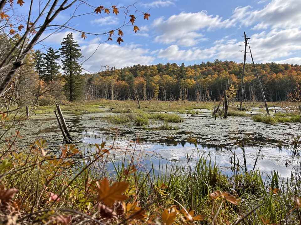
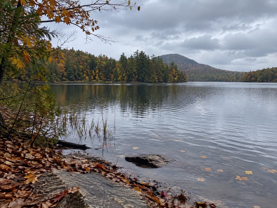
Jabe Pond Trail is an easy out-and-back along a wooded Adirondack pond. From the hand launch, the marked shoreline path reaches the third campsite and returns the same way: about 1.6 miles round trip, with the pond visible through the trees and rocky edges to pause at. Allow about an hour. Come for a simple water-side walk, not a summit or a loop.

Follow the marked shoreTake the footpath to the right of the launch.

Take the footpath to the right of the launch. The bank alternates between woods and small rocky shelves at the water. The marked path ends at the third campsite; turn around there. Unmarked paths continue around the pond and can be hard to follow, so they are not part of this route. A short, unmarked-feeling branch to Little Jabe Pond is a separate side trip. The bare rock at the water makes the best view: keep a strip of shoreline in the foreground.

Plan the accessThe distance above starts at the pond-side hand launch.

The distance above starts at the pond-side hand launch. From Battle Hill Road, a rough access road continues about a mile to a second parking area near the pond when seasonal access permits. If you leave your car at the Battle Hill Road lot and walk in, the full outing to the third campsite and back is about 3.2 miles. The road is rough enough that high clearance is recommended for driving. Dogs may join, but New York requires them leashed at trailheads and campsites and under control elsewhere.

A little pond historyThe pond takes its name from Jabez Patchin, a local landowner.

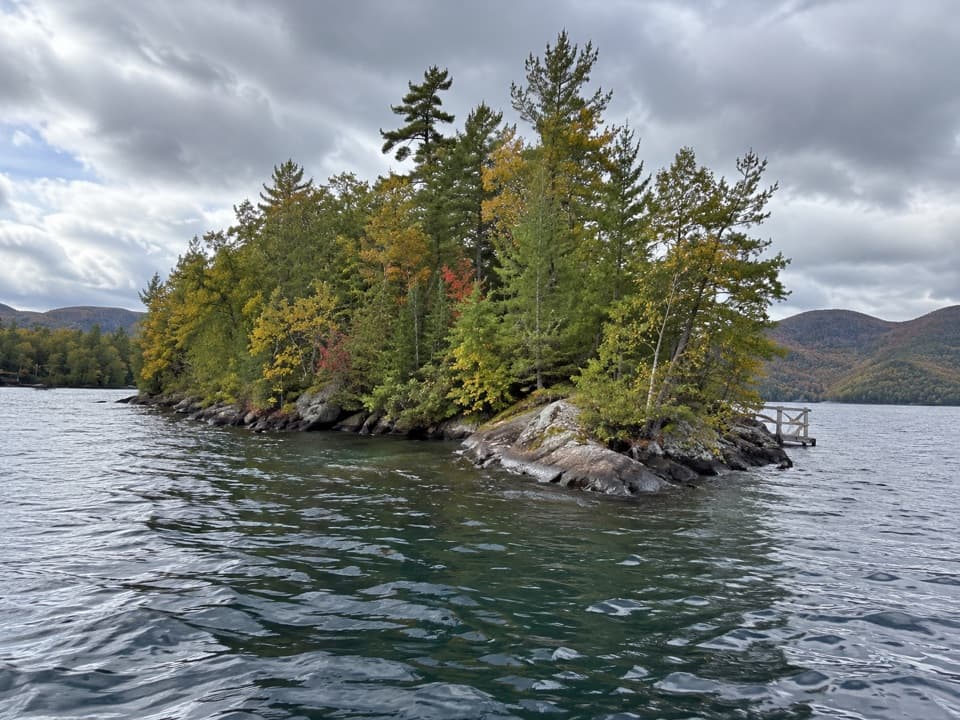
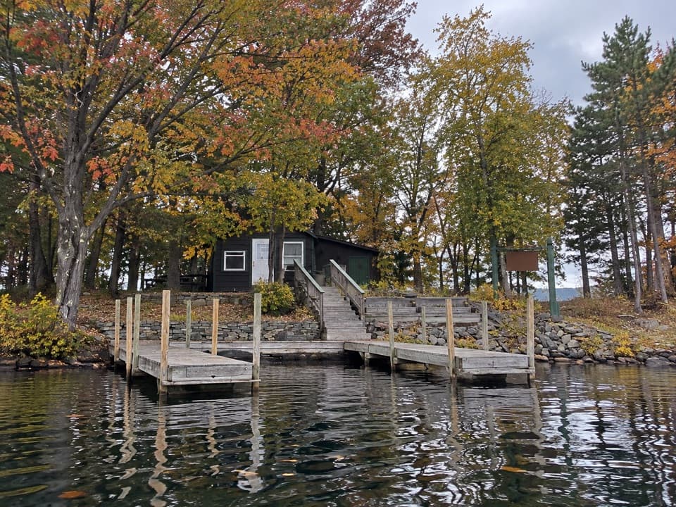
The pond takes its name from Jabez Patchin, a local landowner. Older maps call it South Pond and later Patchin's Pond; the name Jabe Pond appears by 1912. A private island camp opened here in 1905 and likely burned a few years later. A stone fireplace remains on the island, though its story is not fully settled and the trail does not promise a shore-side view of it.

Wildlife

Wildlife in Lake George

All Lake George wildlife maps

Sighting maps show where each species has been reported across Lake George. Wildlife moves, so no sighting is guaranteed.

Keep exploring

Near Jabe Pond Trail

See it all on the map

Trails that start nearby

Places near the trailhead

Parkwolf’s Lake George ranking

Top-rated trails in Lake George

All 67 trails
  1. 1Sleeping Beauty Mountain LoopModerate · 4 mi
  2. 2Buck Mountain Trail from Pilot KnobChallenging · 6.6 mi
  3. 3Black Mountain Summit TrailModerate · 5 mi
  4. 4Cat Mountain Trail from Valley Woods RoadModerate · 6.8 mi
  5. 5Prospect Mountain TrailChallenging · 3 mi
  6. 6Red Trail to The PinnacleModerate · 2.2 mi

Take Parkwolf to Lake George.

The audio tour guide for the drive, plus offline maps, trails, and wildlife heatmaps for when the signal drops.

4.7 from 8,600+ ratings

Download Parkwolf on the App StoreGet Parkwolf on Google Play