Uncas Cliff via Terzian Woodlot in Lake George NY

Lake George NY, NY

Uncas Cliff via Terzian Woodlot

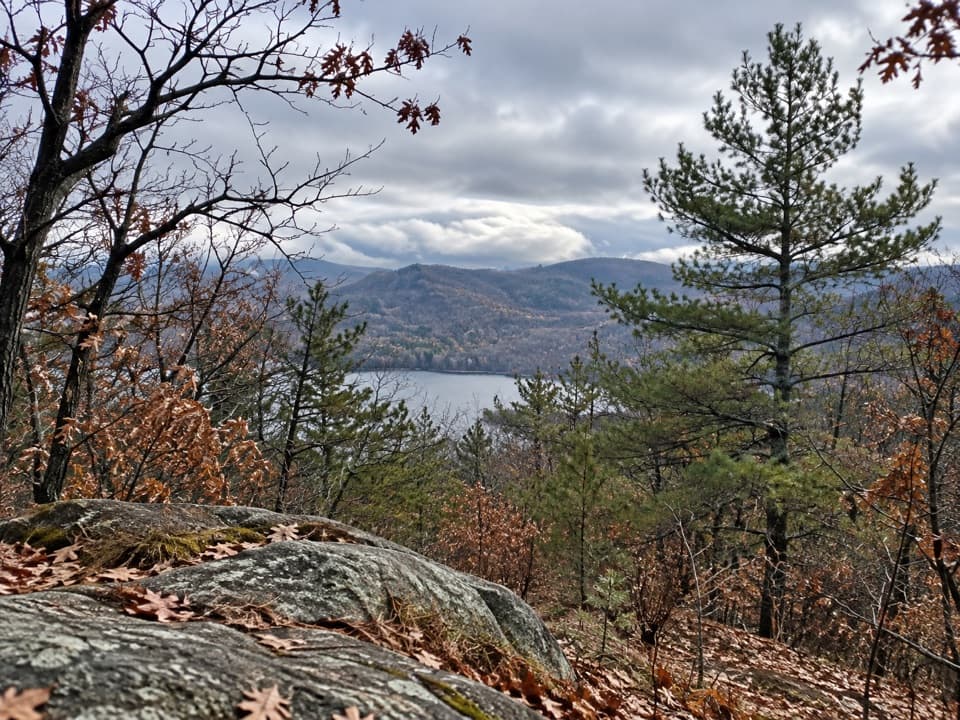
Rocky forest walking ends at an open Lake George overlook.

Length
1.4mi
Time
1.5hr
Elev. change
302ft
Difficulty
Moderate
  • Dogs allowed
  • High point 922 ft
  • #28 of 67 in Lake George

Hear the audio tour

The Trees That Shade the Streams

Overview

About Uncas Cliff via Terzian Woodlot

Why go

  • Open-rock panorama across Lake George
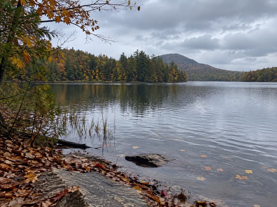
  • Stream crossings and a brookside gorge add variety to the woods walk

Heads up

  • The roadside entrance is easy to miss and the walk to the kiosk adds distance
  • Written mileage and the connected mapped line do not agree

Map & elevation

The route

Loading the Lake George map
Full map
Elevation620–922 ft
TrailheadTerzian Woodlot kiosk43.67555, -73.51692
Keep this map with you offline in the Parkwolf app

Plan your hike

Before you go

Parking

Start at the Terzian Woodlot kiosk. Public foot access reaches it across State Forest Preserve land from a roadside entrance near Carney Point Drive. An unsigned dirt track and open field have been used for parking, but current access and parking availability are not confirmed; the approach to the kiosk adds distance beyond the figure stored here.

Safety

Expect uneven, rocky tread and stream crossings, plus a short steep pitch near the cliff. Timber rattlesnakes are protected; leave them undisturbed. Keep dogs leashed. Do not continue onto the Silver Bay YMCA trail network beyond the public route unless you are an authorized member.

2 active Lake George alerts

  • ClosureFishbrook Pond North Lean-to site closedThe entire Fishbrook Pond North Lean-to site is closed because the lean-to burned down. - No camping or campfires are allowed at the site until further notice.Official details
  • CautionNo Parking Zones enforced along River RoadDo not park in the No Parking Zones along River Road in the Hudson River Special Management Area in the Towns of Lake Luzerne and Warrensburg; DEC is enforcing the restriction.Official details
Lake George alerts
A park ranger sits on a dash-mounted phone, talking, as Parkwolf’s Tour Guide plays “Army Cutworm Moths: A Grizzly Bear Buffet” on Grand Loop Road below Dunraven Pass in Yellowstone
Parkwolf Tour GuideThe highest, rockiest slopes around here are a summer buffet for grizzly bears.

Lake George Tour Guide

Your drive to Uncas Cliff via Terzian Woodlot, narrated.

Parkwolf is a GPS audio tour guide for Lake George NY. As you drive, it chimes in with what’s ahead: hidden gems, upcoming stops, history, geology, and wildlife, right through your car’s speakers.

See the Lake George audio tour

Recorded for this area

The Trees That Shade the Streams
0:00 / 0:30
“On a woodland walk, look for an evergreen with short, flat needles and tiny cones hanging from its twigs. That may be an eastern hemlock, one of the trees helping keep Lake George's streams cool.”

Plays on the road 0.6 mi from the trailhead in the Parkwolf Lake George Tour Guide.

More stories near here in the app

  • The Insect in the Pebble Tube
  • What Forever Wild Protects
  • Where Autumn Colors Come From
  • Deer Leap Overlook Trail
  • 113 audio storiesacross Lake George’s roads, triggered by GPS as you drive
  • Wildlife heatmapsfor White-tailed Deer, Timber Rattlesnake, Osprey, and 13 more
  • Works offlinemaps, 67 trails, 64 places, and audio download before you lose signal
  • CarPlay readysimple controls built for the drive
★★★★★
“Fantastic app with many points of information… It’s great to just turn on while you’re driving and it gives you an audio tour of the national Park. We love it!!!!”
JMJamesApp Store review
Download Parkwolf on the App StoreGet Parkwolf on Google Play

4.7 from 8,600+ ratings

Trail guide

Hiking Uncas Cliff via Terzian Woodlot

The hikeUncas Cliff via Terzian Woodlot is a moderate out-and-back from the woodlot kiosk to an…

Uncas Cliff via Terzian Woodlot is a moderate out-and-back from the woodlot kiosk to an open-rock overlook above Lake George. The connected mapped route is about 0.7 mile each way, or 1.4 miles round trip from the kiosk. Allow about 1.5 to 2 hours for the stream crossings, uneven tread and short steep pitch at the end. The lake-and-mountain view is the payoff.

Check the distance and accessThe written directions place the cliff junction 1.0 mile from the kiosk, then add a 0.

The written directions place the cliff junction 1.0 mile from the kiosk, then add a 0.1-mile spur, while the connected route line is shorter. Treat the posted mileage as uncertain, check the kiosk map and allow extra time if the marked tread follows the longer description. The 1.4-mile figure here starts at the kiosk; reaching it on foot from the roadside access adds distance.

Follow the cliff branchThe trail climbs to a knoll, drops to a small stream, rises over another knoll and reaches a…

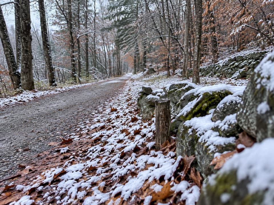
The trail climbs to a knoll, drops to a small stream, rises over another knoll and reaches a larger brook crossing. It follows the brook briefly, turns right toward an old logging road, then turns left for a gradual climb. At the junction, take the yellow spur to Uncas Cliff: it starts level, makes a short steep climb and then follows a ridge to the open rock. Going straight leads toward Uncas Falls, a separate walk.

Take in the viewThe cliff opens onto a broad view across Lake George and the surrounding Adirondack ridges,…

The cliff opens onto a broad view across Lake George and the surrounding Adirondack ridges, with a bench near the rock. For a useful phone photo, keep some of the open rock in the foreground so the lake and distant ridges have a sense of scale.

A protected woodlotThe 132-acre woodlot protects a tributary flowing to Lake George and habitat for timber…

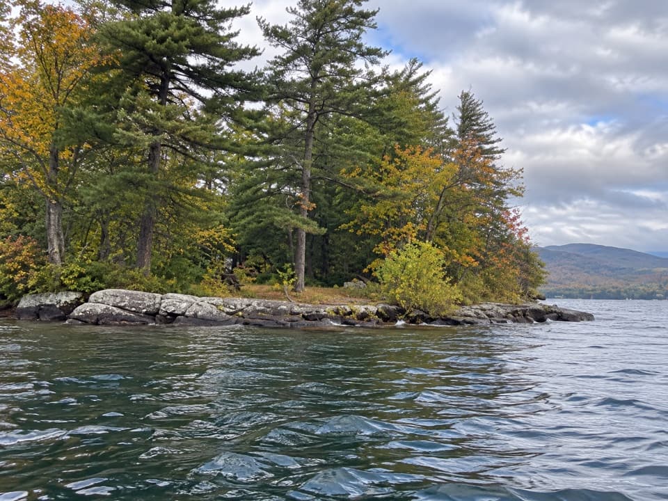
The 132-acre woodlot protects a tributary flowing to Lake George and habitat for timber rattlesnakes. It is a mixed hardwood forest with hemlock and occasional pine. The Terzian family held the land for decades; a three-month community fundraising effort helped preserve it, and it joined the conservancy's lands in 2014.

Access and rulesPublic foot access crosses State Forest Preserve land to reach the kiosk.

Public foot access crosses State Forest Preserve land to reach the kiosk. The preserve is open year-round from dawn to dusk; dogs must be leashed, and hunting requires a permit. The trails beyond Uncas Cliff connect to Silver Bay YMCA land and are for members, so turn back at the public route.

Wildlife

Wildlife in Lake George

All Lake George wildlife maps

Sighting maps show where each species has been reported across Lake George. Wildlife moves, so no sighting is guaranteed.

Keep exploring

Near Uncas Cliff via Terzian Woodlot

See it all on the map

Trails that start nearby

Places near the trailhead

Parkwolf’s Lake George ranking

Top-rated trails in Lake George

All 67 trails
  1. 1Sleeping Beauty Mountain LoopModerate · 4 mi
  2. 2Buck Mountain Trail from Pilot KnobChallenging · 6.6 mi
  3. 3Black Mountain Summit TrailModerate · 5 mi
  4. 4Cat Mountain Trail from Valley Woods RoadModerate · 6.8 mi
  5. 5Prospect Mountain TrailChallenging · 3 mi
  6. 6Red Trail to The PinnacleModerate · 2.2 mi

Take Parkwolf to Lake George.

The audio tour guide for the drive, plus offline maps, trails, and wildlife heatmaps for when the signal drops.

4.7 from 8,600+ ratings

Download Parkwolf on the App StoreGet Parkwolf on Google Play