Triangle Lake to Widow Lake Trail in Lassen Volcanic National Park

Lassen Volcanic National Park, CA

Triangle Lake to Widow Lake Trail

A remote backcountry crossing links Triangle and Widow lakes.

Length
3.3mi
Time
2hr
Elev. change
299ft
Difficulty
Moderate
  • No dogs
  • High point 7,149 ft
Parkwolf audio tour45 stories across Lassen Volcanic’s roads

Overview

About Triangle Lake to Widow Lake Trail

Why go

  • A one-way forest route connects two remote lakes across the park boundary.

Heads up

  • A separate wilderness approach and exit add miles beyond the mapped lake-to-lake line.

Map & elevation

The route

Loading the Lassen Volcanic map
Full map
Elevation6,850–7,149 ft
TrailheadTriangle Lake west-shore junction40.52910, -121.22235
Keep this map with you offline in the Parkwolf app

Plan your hike

Before you go

Parking

No drive-up trailhead or parking at either lake was verified. Reach Triangle Lake through the surrounding Caribou Wilderness trail network, then arrange a separate wilderness exit from Widow Lake or retrace the route; that travel is outside the 3.3-mile mapped line.

Safety

The exact route-finding and current access conditions are poorly documented. Carry the mapped line offline and check with the park and Forest Service before setting out. Pets are prohibited on the park trail segment; overnight camping in the park requires a wilderness permit.

1 active Lassen Volcanic alert

  • ClosureJuniper Lake campground and day-use area closedJuniper Lake Campground and day-use area are closed for maintenance and campground-improvement projects. - Potable water is unavailable in the campground.Official details
Lassen Volcanic alerts
A park ranger sits on a dash-mounted phone, talking, as Parkwolf’s Tour Guide plays “Army Cutworm Moths: A Grizzly Bear Buffet” on Grand Loop Road below Dunraven Pass in Yellowstone
Parkwolf Tour GuideThe highest, rockiest slopes around here are a summer buffet for grizzly bears.

Lassen Volcanic Tour Guide

Your drive to Triangle Lake to Widow Lake Trail, narrated.

Parkwolf is a GPS audio tour guide for Lassen Volcanic National Park. As you drive, it chimes in with what’s ahead: hidden gems, upcoming stops, history, geology, and wildlife, right through your car’s speakers.

See the Lassen Volcanic audio tour

More stories near here in the app

  • Butte Lake and Cinder Cone
  • Lava That Built a Mountain
  • 45 audio storiesacross Lassen Volcanic’s roads, triggered by GPS as you drive
  • Wildlife heatmapsfor Black Bear, Bald Eagle, Mule Deer, and 13 more
  • Works offlinemaps, 59 trails, 56 places, and audio download before you lose signal
  • CarPlay readysimple controls built for the drive
★★★★★
“Fantastic app with many points of information… It’s great to just turn on while you’re driving and it gives you an audio tour of the national Park. We love it!!!!”
JMJamesApp Store review
Download Parkwolf on the App StoreGet Parkwolf on Google Play

4.7 from 8,600+ ratings

Trail guide

Hiking Triangle Lake to Widow Lake Trail

A backcountry lake-to-lake crossingThis 3.

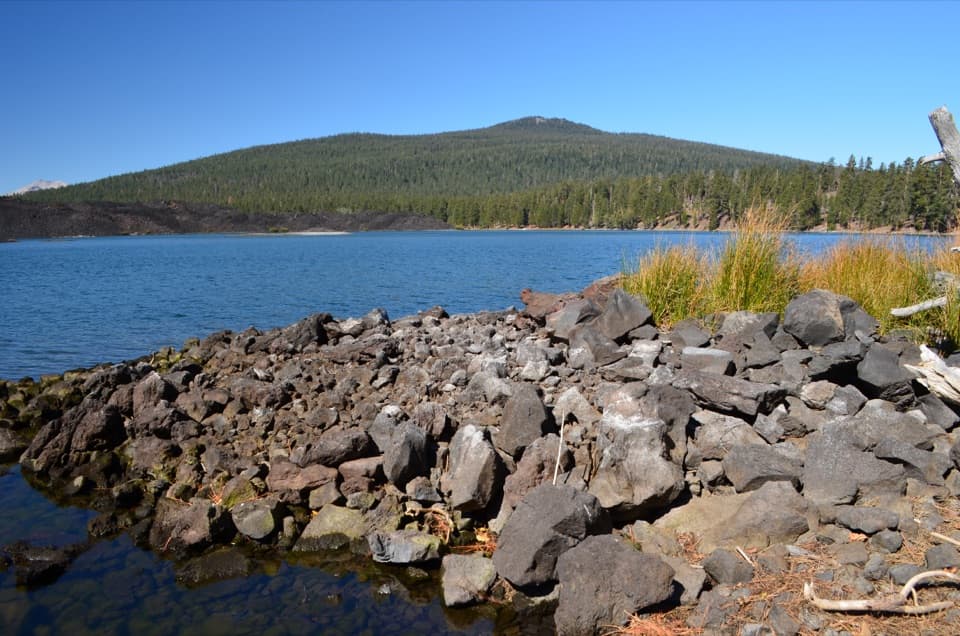
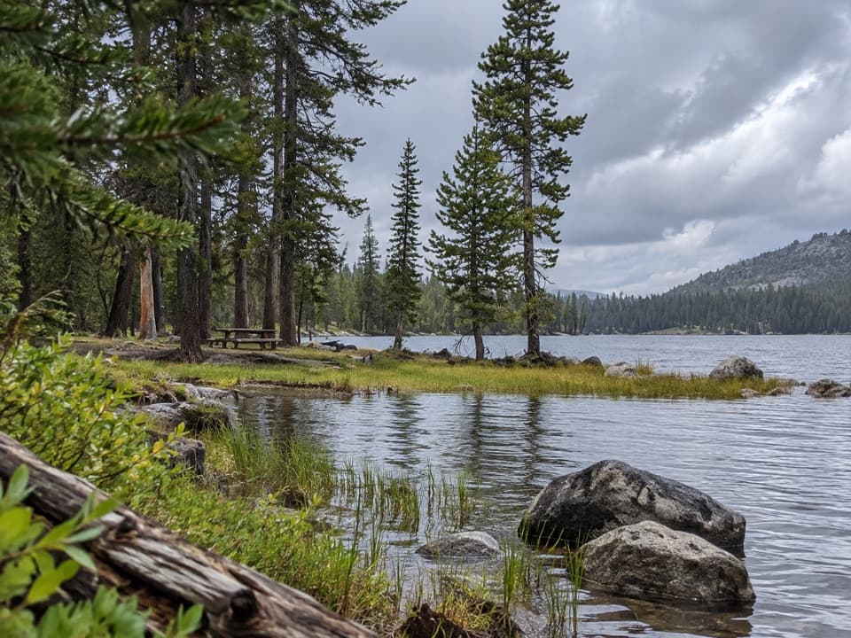
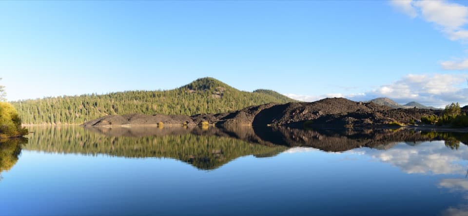
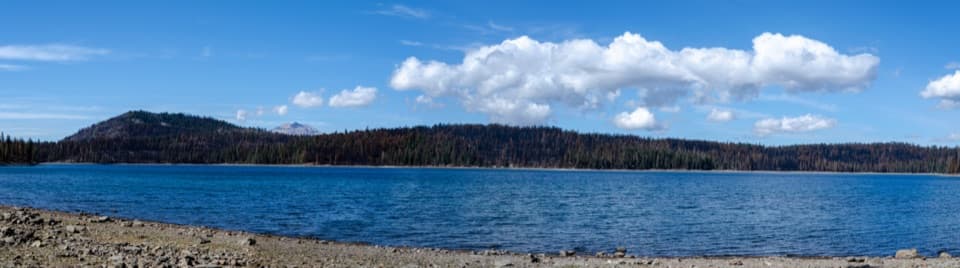
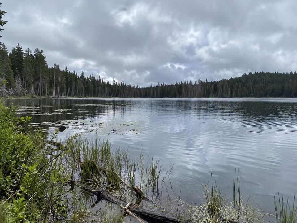
This 3.3-mile one-way route links Triangle Lake in the Caribou Wilderness with Widow Lake inside Lassen Volcanic National Park. It follows the Triangle Lake–Caribou connector west to the Widow Lake–Snag Lake junction, then turns north on Widow Lake Trail to the shore. The distance is a mapped estimate for that point-to-point line; allow about two hours for it, or roughly 6.6 miles to retrace it. Any approach from a road or another trailhead adds distance.

Between the lakesThe connector rolls through thin fir forest and passes several small lakes before crossing the…

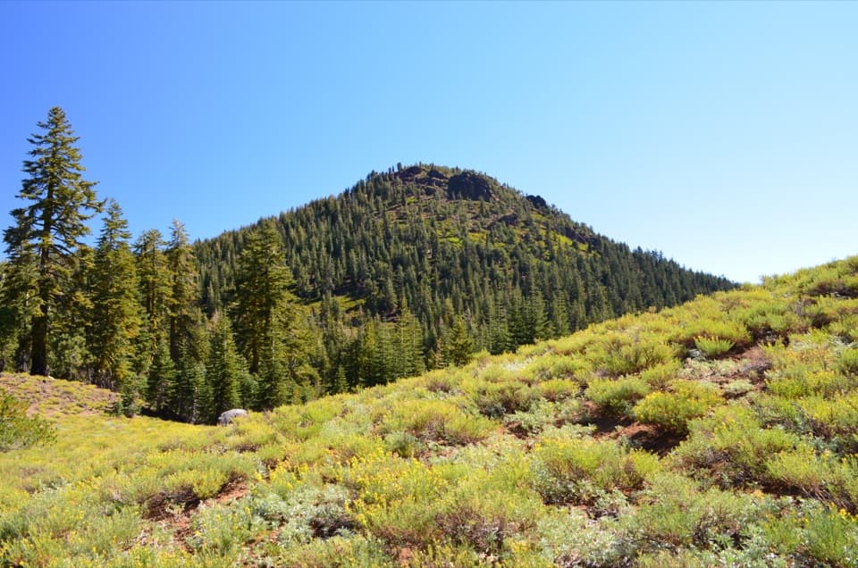
The connector rolls through thin fir forest and passes several small lakes before crossing the park boundary. Trees screen most of the surrounding mountains, so the main payoff is reaching two remote lakes rather than an open summit view. At the junction, take Widow Lake Trail north; routes continuing toward Snag Lake and the other Caribou lakes are separate hikes.

Plan the accessNeither lake has a verified drive-up trailhead or parking lot.

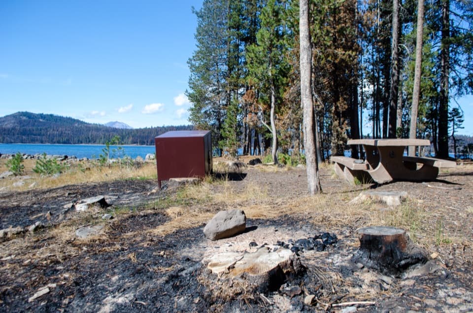
Neither lake has a verified drive-up trailhead or parking lot. Reach the Triangle Lake start through the surrounding backcountry trail network, then arrange a separate exit from Widow Lake or plan to retrace your route. Route-finding and current access details for this exact link are sparse; download the mapped line and check conditions with the park and Forest Service before setting out. Pets are prohibited on park trails and in park backcountry. Overnight camping in the park requires a wilderness permit.

Wildlife

Wildlife in Lassen Volcanic

All Lassen Volcanic wildlife maps

Sighting maps show where each species has been reported across Lassen Volcanic. Wildlife moves, so no sighting is guaranteed.

Keep exploring

Near Triangle Lake to Widow Lake Trail

See it all on the map

Trails that start nearby

Places near the trailhead

Parkwolf’s Lassen Volcanic ranking

Top-rated trails in Lassen Volcanic

All 59 trails
  1. 1Lassen Peak TrailChallenging · 5 mi
  2. 2Cinder Cone TrailChallenging · 4 mi
  3. 3Bumpass Hell TrailModerate · 3 mi
  4. 4Brokeoff Mountain TrailChallenging · 7.4 mi
  5. 5Kings Creek Falls TrailModerate · 2.8 mi
  6. 6Manzanita Lake LoopEasy · 1.8 mi

Take Parkwolf to Lassen Volcanic.

The audio tour guide for the drive, plus offline maps, trails, and wildlife heatmaps for when the signal drops.

4.7 from 8,600+ ratings

Download Parkwolf on the App StoreGet Parkwolf on Google Play