Parking
Use the Horseshoe Lake/Snag Lake trailhead area in the Juniper Lake network. The mapped line begins about 130 m from the nearby named trailhead point; confirm where parking is legal and how to reach the route.
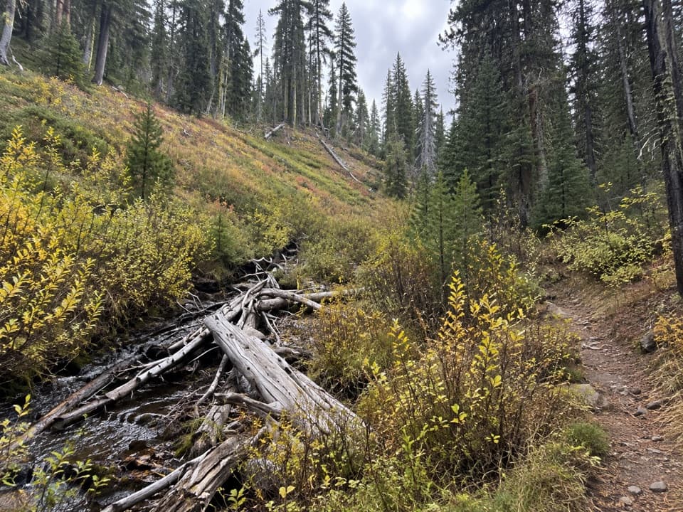
Lassen Volcanic National Park, CA
A ridge-and-creek circuit through Lassen’s quiet Juniper Lake forest.
Overview
Map & elevation
Plan your hike

The highest, rockiest slopes around here are a summer buffet for grizzly bears.
Lassen Volcanic Tour Guide
Parkwolf is a GPS audio tour guide for Lassen Volcanic National Park. As you drive, it chimes in with what’s ahead: hidden gems, upcoming stops, history, geology, and wildlife, right through your car’s speakers.
See the Lassen Volcanic audio tourRecorded for this area
Juniper Lake: Beach or Long Loop“You’re nearing Juniper Lake’s north-shore day-use area, where a gravel-and-sand beach looks across the water toward Mount Harkness.”
Plays near this trailhead in the Parkwolf Lassen Volcanic Tour Guide.
More stories near here in the app
“Fantastic app with many points of information… It’s great to just turn on while you’re driving and it gives you an audio tour of the national Park. We love it!!!!”


Trail guide
Grassy Creek Long Loop is a forested 6.9-mile circuit through the Juniper Lake area. It climbs over a ridge, passes Cameron Meadow (usually glimpsed through trees), crosses Grassy Creek and returns beside the creek before climbing back over the ridge. Allow about 4 hours for the walk and its roughly 1,100 feet of climbing. The mapped line measures 6.87 miles; older route descriptions list 7.8 miles, so extra distance may apply depending on the access line you follow.
Expect uneven single-track, two sustained climbs and a few steeper pitches. The route map marks footlogs and a footbridge; their current condition is unverified. The high point is around 7,000 feet, so the climbing can feel harder than the mileage suggests.
Wildlife
 103 sightingsBlack BearMost seen around 7 PMSighting map
 44 sightingsBald EagleMost seen around 7 AMSighting map
 348 sightingsMule DeerMost seen around 7 PMSighting map
 17 sightingsSandhill CraneMost seen around 6 AMSighting map
 47 sightingsGreat Blue HeronMost seen around 7 AMSighting map
 12 sightingsGreat EgretMost seen around 7 AMSighting map
Sighting maps show where each species has been reported across Lassen Volcanic. Wildlife moves, so no sighting is guaranteed.
Keep exploring
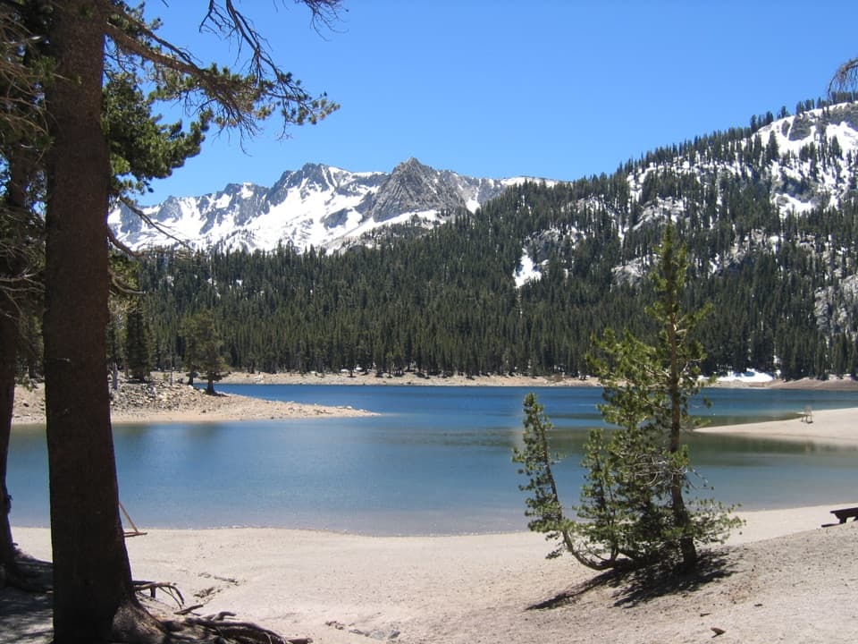 ModerateHorseshoe Lake Trail2.6 mi · 2 hr · At the trailheadA short forest hike to a lakeshore beneath Lassen's skyline
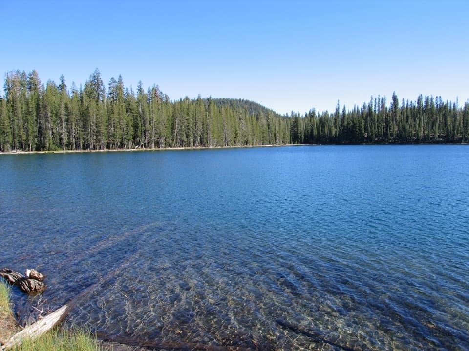 ChallengingRainbow Lake Loop13.4 mi · 8.5 hr · At the trailheadA remote high-country loop among three tucked-away lakes
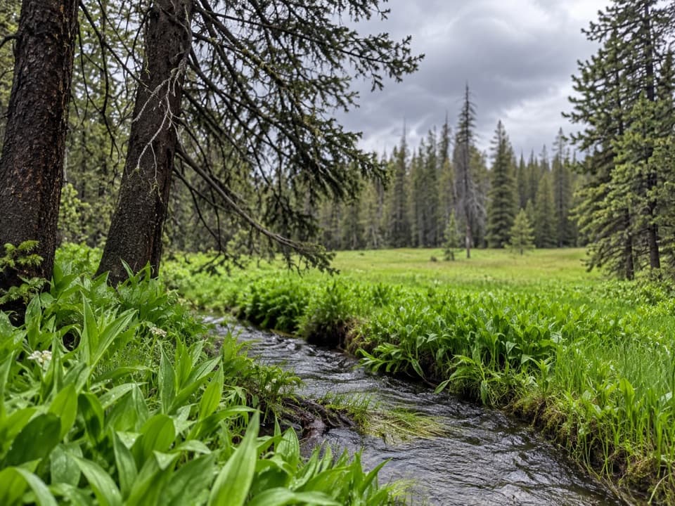 ModerateGrassy Creek Short Loop5.8 mi · 3.5 hr · At the trailheadA 5.8-mile meadow loop with one faint cutoff to find.
 ChallengingJuniper Lake, Cinder Cone and Red Cinders Loop22.3 mi · 11 hr · At the trailheadRemote 22-mile loop linking lake country, crater views and red cinders.
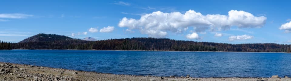 ModerateJuniper Lake Loop6.4 mi · 4 hr · At the trailheadA remote 6.4-mile circuit around a high-elevation lake.
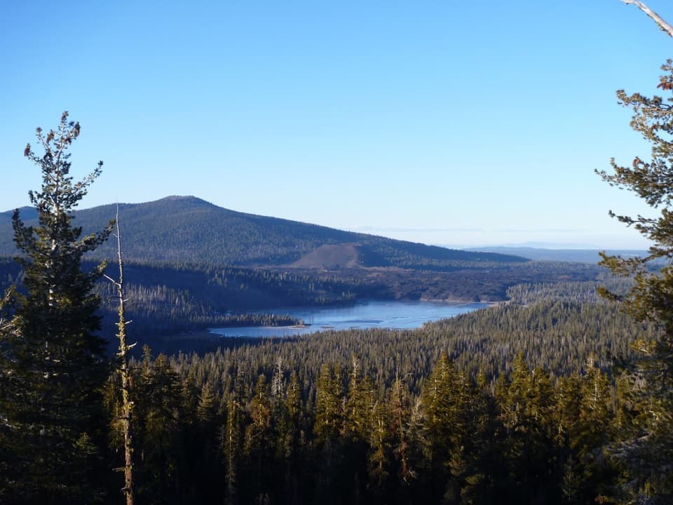 ModerateInspiration Point Trail1.5 mi · 1.1 hr · At the trailheadA brief climb to a ridge above Juniper Lake
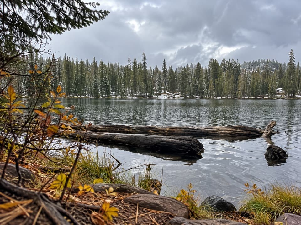 ModerateCrystal Lake Trail0.9 mi · 45 min · 1 mi awayA short, steep out-and-back to Crystal Lake below the cliffs
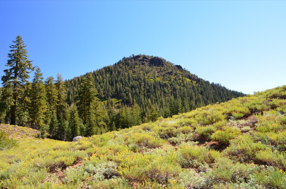 ModerateRed Cinder Cone Trail8.8 mi · 5 hr · 1.1 mi awayA remote 8.8-mile traverse through the Red Cinder Cone corridor.Sight · At the trailheadJuniper LakeA coarse-sand beach, cool swimming, and trailheads share one shore.Sight · 0.5 mi awayInspiration PointA short, steep climb earns a wide volcanic panorama.
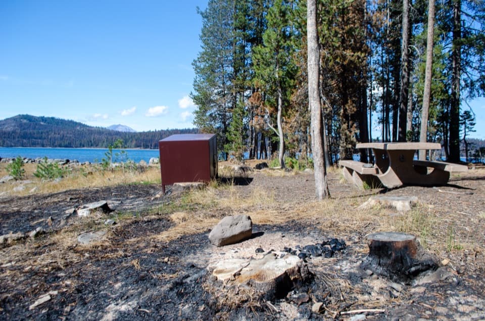 Campground · 1.3 mi awayJuniper Lake CampgroundCamp beside the lake, after six rough dirt-road miles.
 Sight · 1.8 mi awayHorseshoe LakeA trout lake people have fished since 1936
 Sight · 3.4 mi awaySnag LakeA backcountry lake born from Cinder Cone’s lava.
 Sight · 4.8 mi awayTerminal GeyserA creekside steam vent at the end of a long hike.
 Picnic area · 4.8 mi awayWarner Valley Day Use AreaA trailhead picnic stop for Lassen's hydrothermal corner.
 Campground · 4.8 mi awayWarner Valley CampgroundA remote, wooded base for Warner Valley's trail network.
Parkwolf’s Lassen Volcanic ranking

The audio tour guide for the drive, plus offline maps, trails, and wildlife heatmaps for when the signal drops.




