Terminal Geyser

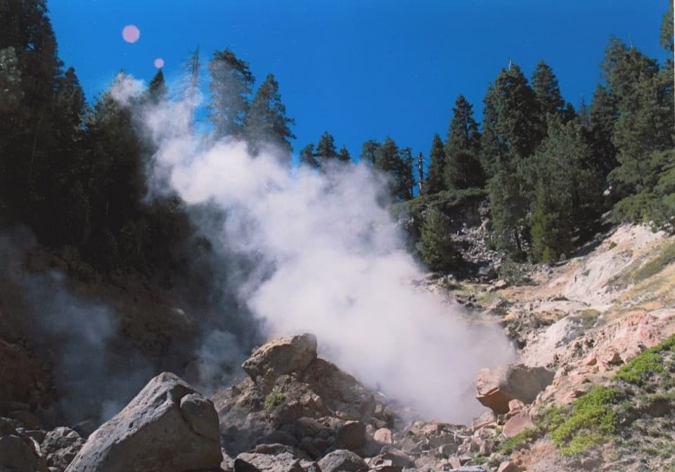
Roaring steam vent in a creek, best paired with Boiling Springs Lake
Terminal Geyser, Lassen Volcanic National Park
InsideLassen Volcanic National Park

Overview

Terminal Geyser is a misnomer—instead of an erupting fountain, you get a vigorous steam vent (fumarole) where a cold creek runs over hot ground, sending billows of steam skyward. It’s raw, loud, and a little otherworldly, especially compared to the park’s boardwalked hotspots. If you like your hydrothermal features wild and close to the ground, this one’s for you.

The Hike

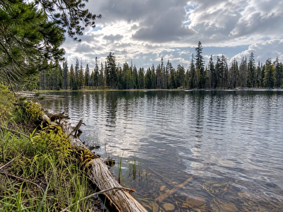
Most people reach Terminal Geyser from Warner Valley Trailhead on a 5.8‑mile round‑trip, generally moderate route that takes about 2.5–3 hours. You’ll follow forested singletrack, briefly share the Pacific Crest Trail, pass the colorful Boiling Springs Lake, then continue to the steam vent along Hot Springs Creek. Expect some rocky tread, rolling ups and downs, stretches through burn with limited shade, and occasional brush—long pants are handy.

What You’ll See

  • Terminal Geyser: a forceful steam plume and steaming runoff in a creek—more “giant pipe burst” than fountain.
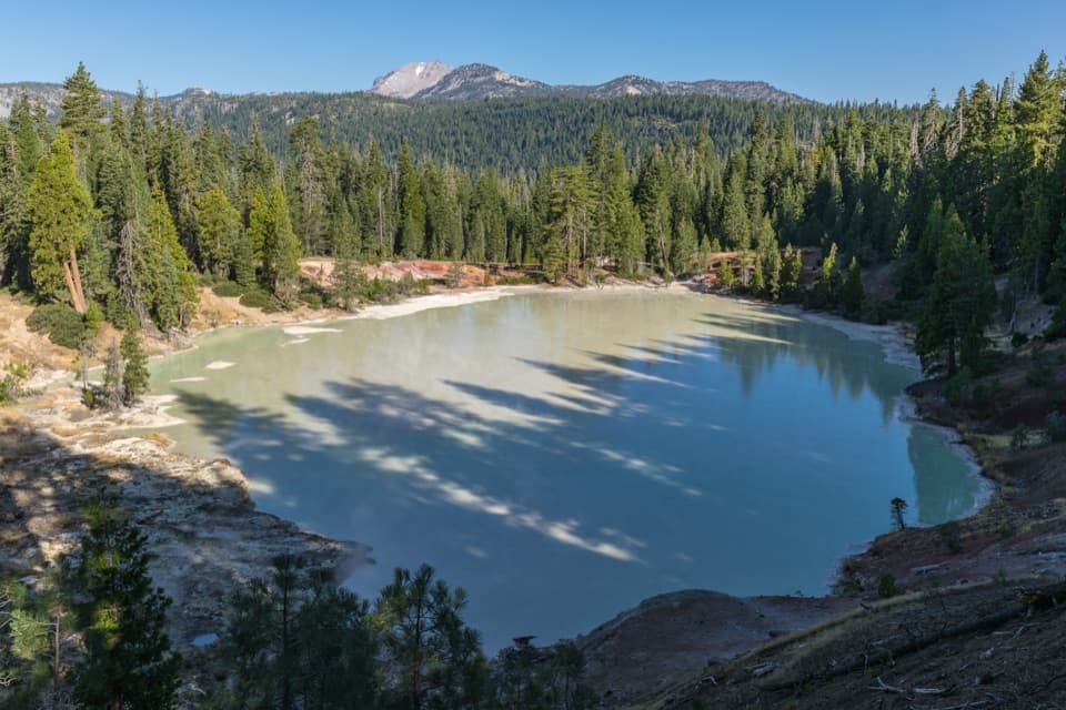
  • Boiling Springs Lake (en route): a broad, warm, acidic lake with bubbling mudpots and steaming shoreline.
  • Hot Springs Creek: fed by both hot and cold sources, making for surreal temperature contrasts along the way.

Geology Snapshot

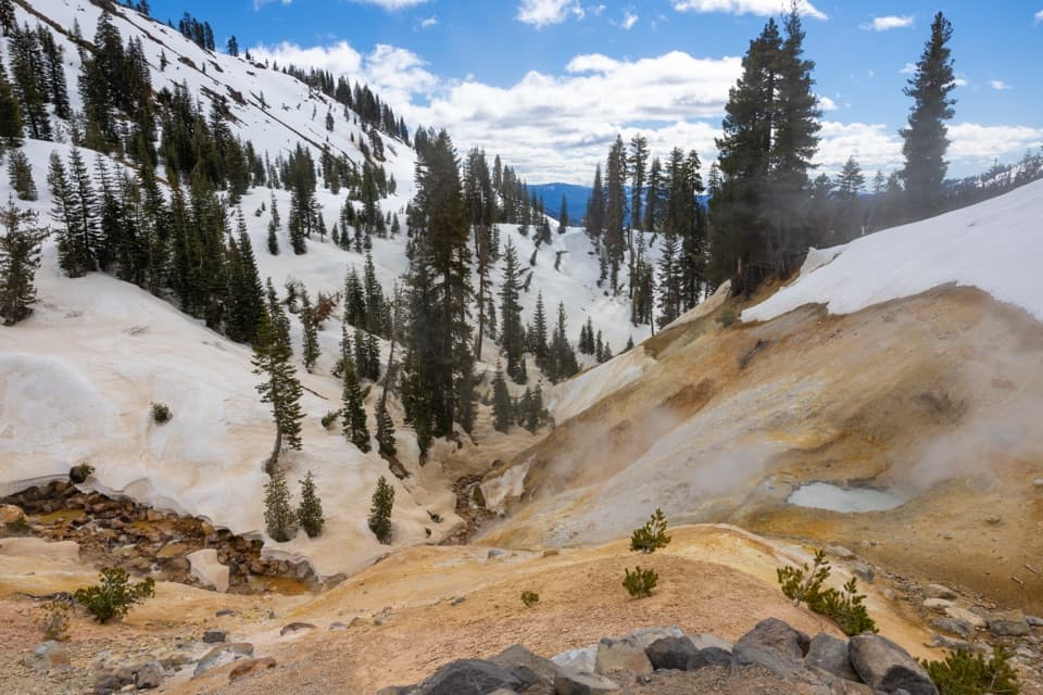
These hydrothermal features fringe the remnants of the ancient Mount Tehama (Brokeoff) caldera. Steam and CO₂ rising from depth acidify groundwater, altering rock into bright clays and depositing sulfur and silica. Terminal Geyser is a fumarole—there are no true geysers here—and even saw nearby geothermal exploration drilling in the 1960s and 1970s before the well was plugged and abandoned.

Safety and Logistics

  • Stay on signed trails—ground near vents can be thin, and water/mud can be near boiling. There are no boardwalks here.
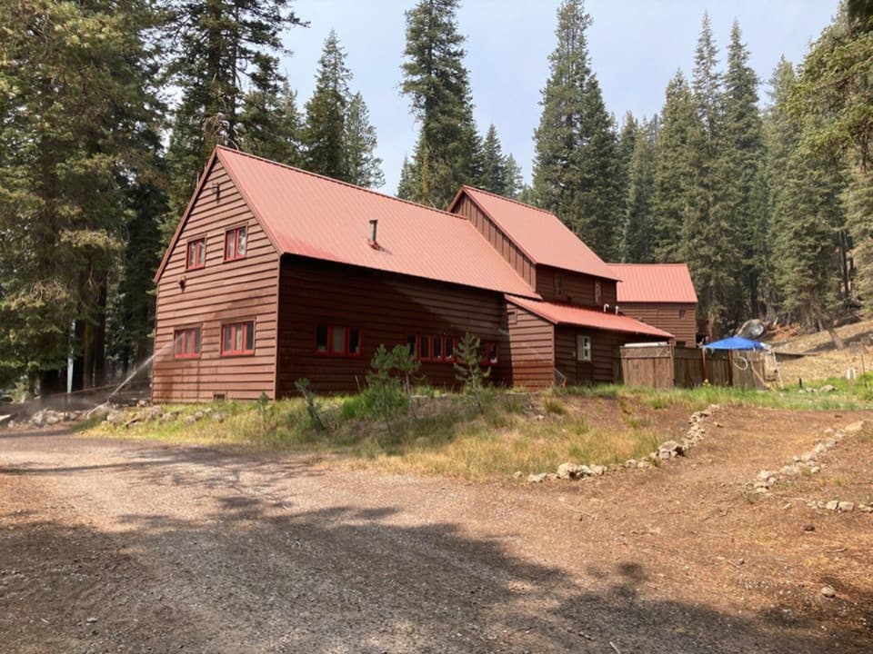
  • No amenities at the feature itself; restrooms and parking are back at Warner Valley Trailhead.
  • Dogs aren’t allowed on these trails.
  • Cell service is spotty to nonexistent; download maps and don’t trust GPS shortcuts on the drive.
  • Mosquitoes can be pesky around dusk.

Getting There

From Chester, head toward Warner Valley; the last stretch includes dirt/gravel and seasonal closures. Follow official signage rather than random GPS routing, which can lead to rough roads with no service.

Best Time to Visit

Late spring through early fall when the Warner Valley roads and trails are open. Start early to beat afternoon heat and the chance of thunderstorms, and to snag parking on busy weekends. This corner of the park is quieter than the main corridor, making it a great half‑day outing.

Wildlife

Mixed conifer forest and meadow edges can host mule deer, chipmunks, woodpeckers, Clark’s nutcrackers, and plenty of montane songbirds. Wet areas in Warner Valley often draw amphibians and dragonflies—observe from a distance and protect food from wildlife.

Pros

  • Dramatic steam vent set right in a flowing creek
  • Pairs nicely with Boiling Springs Lake for a rewarding half‑day

Cons

  • Not a true geyser; some find the payoff modest
  • Reaches via a 5.8‑mile round‑trip hike with no on‑site amenities

Tips

  • Combine Terminal Geyser with Boiling Springs Lake for the best bang‑for‑buck route.
  • Wear long pants and bring extra water—brush, sun, and rocky tread add up.
  • Download offline maps; cell service is unreliable in Warner Valley.
  • Drive via signed Warner Valley Road from Chester and avoid GPS “shortcuts.”
  • Check seasonal road and trail status and start early to avoid afternoon heat and storms.
The Parkwolf tour guide sitting on a phone mounted in a car

Parkwolf Tour Guide

Like a tour guide in your car.

Save the places you found around Lassen Volcanic, then let Parkwolf guide the drive between them.Download Parkwolf on the App Store