Best time to go
Go on a cool early dry-season morning for the most comfortable walking, and give yourself plenty of daylight for the steep and rough sections. The area at the top of the falls is small, so be prepared to share the rock ledges.
Sight · Litchfield National Park
Shady creek walk climbing to a quiet rocky cascade
Overview
Map
Plan your stop

The highest, rockiest slopes around here are a summer buffet for grizzly bears.
Litchfield Tour Guide
Parkwolf is a GPS audio tour guide for Litchfield National Park. As you drive, it chimes in with what’s ahead: hidden gems, upcoming stops, history, geology, and wildlife, right through your car’s speakers.
See the Litchfield audio tourRecorded for this place
Greenant Creek and Tjaetaba Falls“You're approaching Greenant Creek, where a walk climbs to the Tjaetaba Falls lookout. Allow about an hour and a half return, with creekside shade followed by a steep climb on more open ground.”
Plays as you drive up to Tjaetaba Falls in the Parkwolf Litchfield Tour Guide.
More stories near here in the app
“Fantastic app with many points of information… It’s great to just turn on while you’re driving and it gives you an audio tour of the national Park. We love it!!!!”


Guide
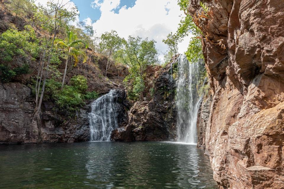
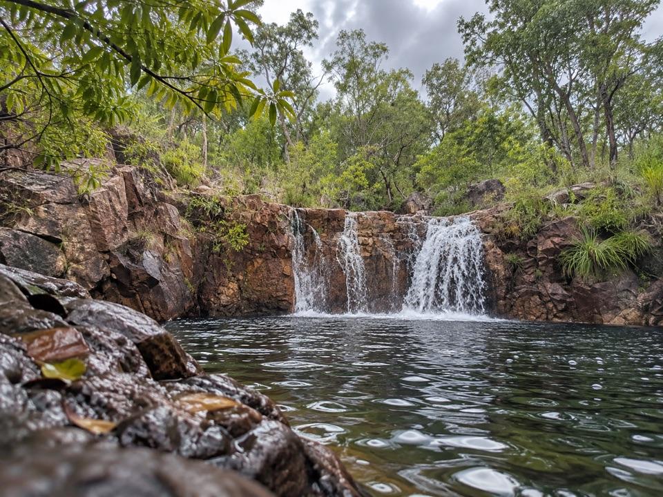
Tjaetaba Falls is a small, broad rocky cascade that steps down layers of reddish-brown stone into a dark pool, set in tropical woodland. You cannot drive to it. The falls are reached on foot along the Greenant Creek walk, which starts from the picnic area near the car park about a kilometre away. It is a modest, quieter stop rather than a headline waterfall, and the walk itself is a big part of the appeal.
The plunge pool at the base of the falls and the area downstream are a sacred site, and swimming there is not allowed. Please stay out of the water in this area. The small pool at the top of the falls is not monitored and swimming is not recommended. Treat the site as a place to look, sit quietly and take photographs.
Wildlife
 115 sightingsBlack Flying-foxMost seen around 6 PMSighting map
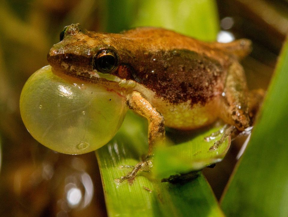 59 sightingsRockhole FrogMost seen around 9 AMSighting map
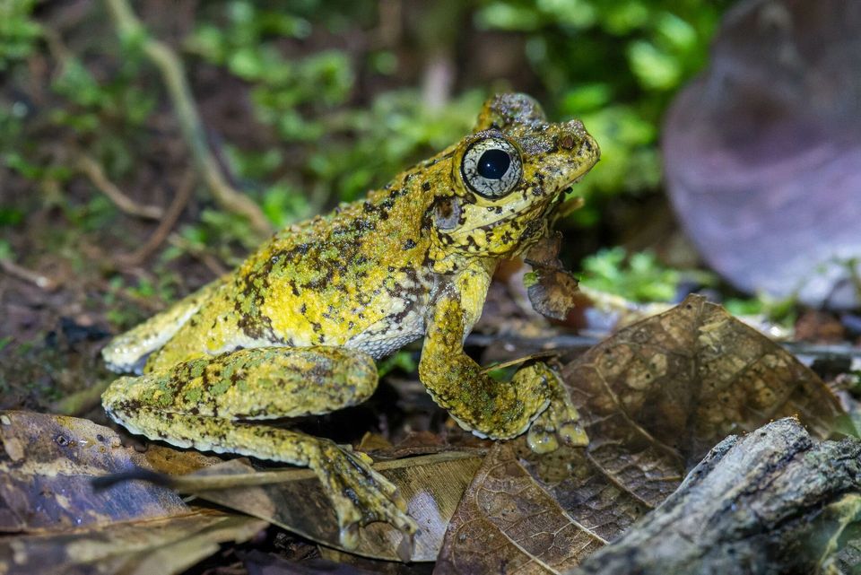 38 sightingsWestern Laughing Tree FrogMost seen around 7 PMSighting map
 17 sightingsCane ToadMost seen around 7 PMSighting map
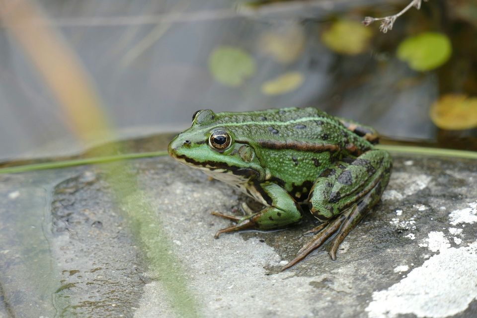 43 sightingsSpalding's Rocket FrogMost seen around 6 PMSighting map
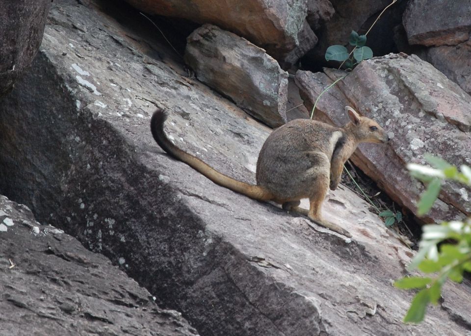 15 sightingsEastern Short-eared Rock WallabyMost seen around 6 PMSighting map
Sighting maps show where each species has been reported across Litchfield. Wildlife moves, so no sighting is guaranteed.
Keep exploring
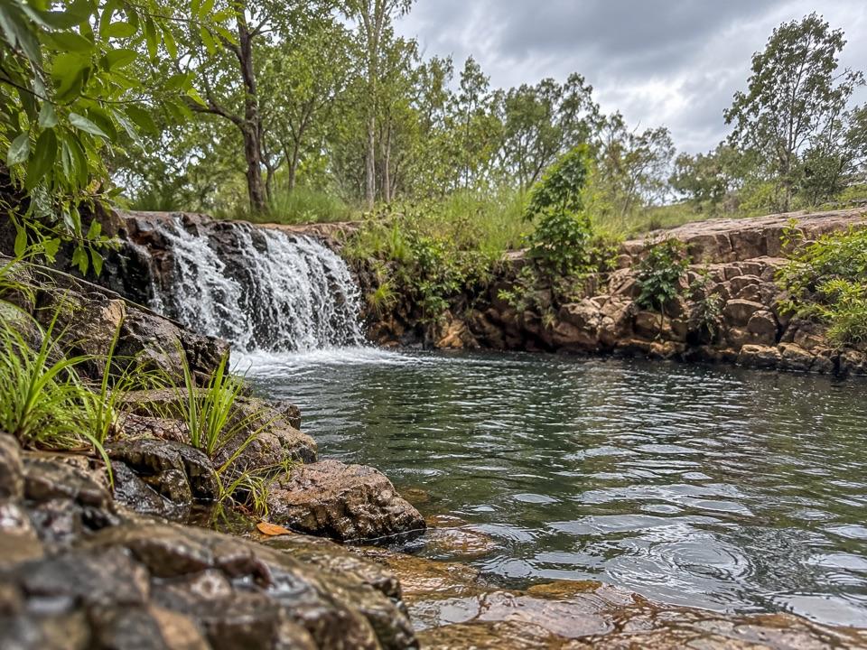 ModerateGreenant Creek Walk3.1 km · 1.5 hr · 1 km awayShade gives way to a steep climb and a falls lookout.
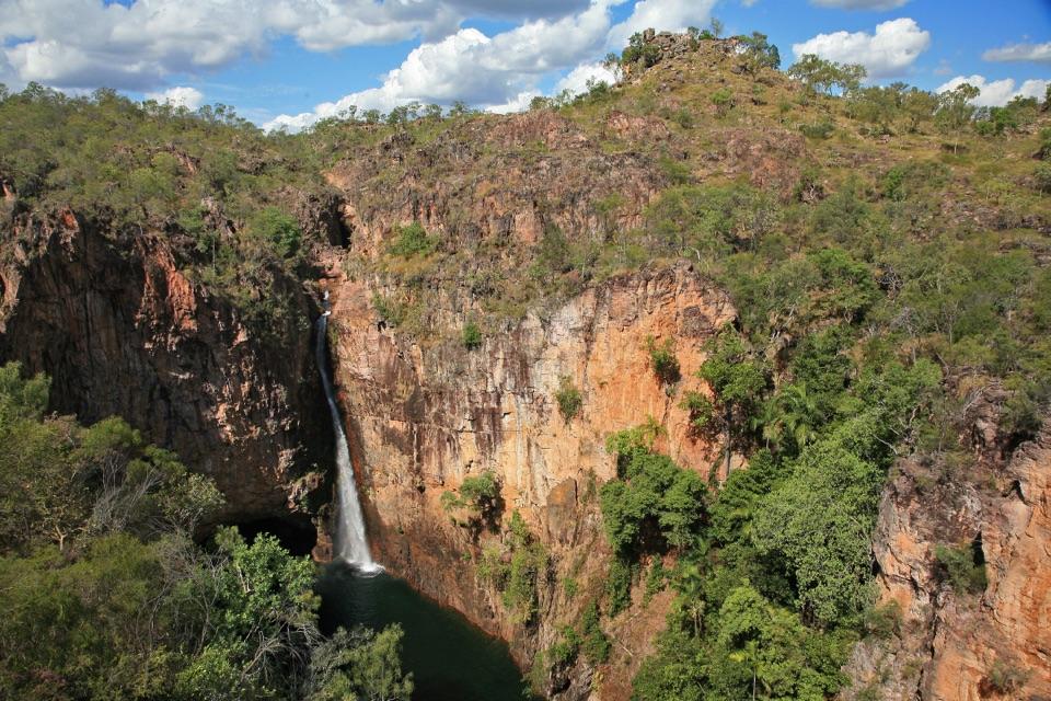 EasyTolmer Falls Lookout Walk0.8 km · 20 min · 1.6 km awayA short sealed path to two decks over Tolmer's deep gorge.
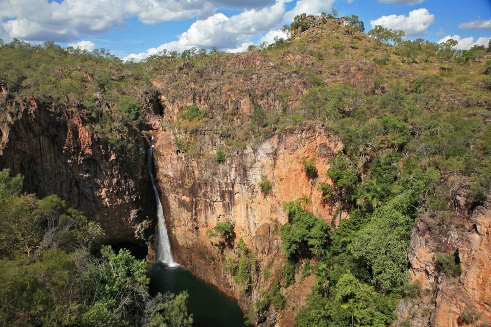 ModerateTolmer Falls Walk1.6 km · 45 min · 1.6 km awayA short loop pairs the falls platform with a rocky creek return.
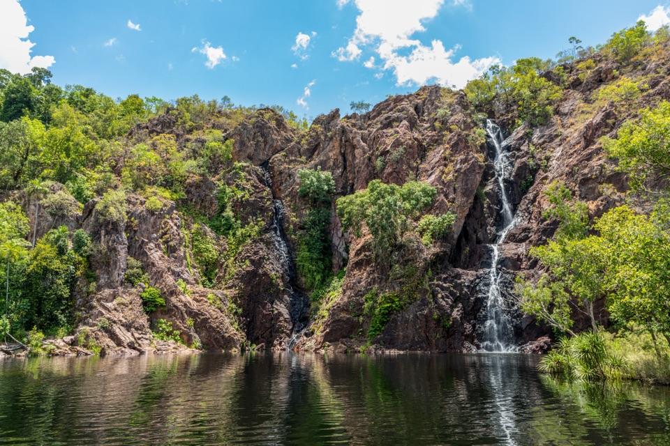 ModerateWangi Falls Walk1.6 km · 1 hr · 3.8 km awayA short loop pairs the plunge pool with an escarpment climb.
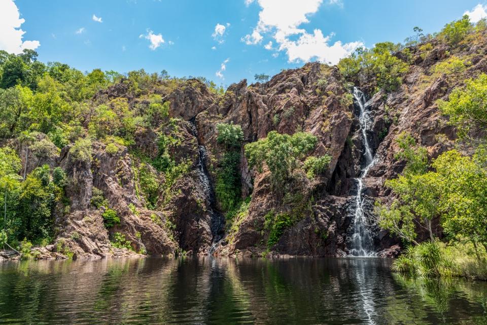 ChallengingTabletop Track: Wangi Falls to Walker Creek20.2 km · 12 hr · 4 km awayA rugged two-day Tabletop crossing with waterfalls and long dry stretches.
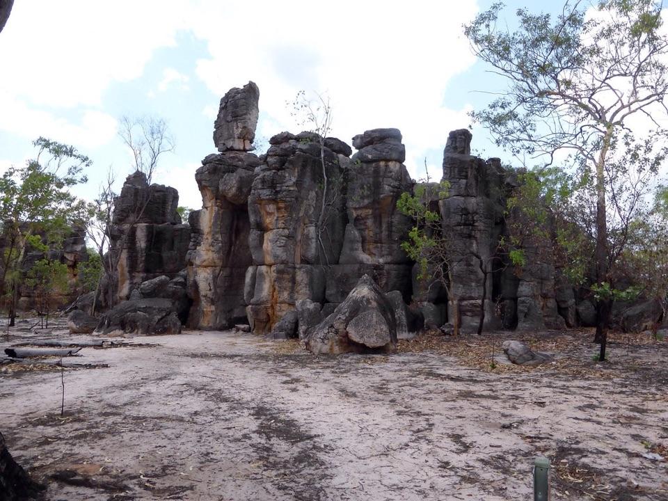 EasyThe Lost City Walk0.7 km · 30 min · 4.5 km awayA short wander among sandstone pillars, reached only by 4WD.
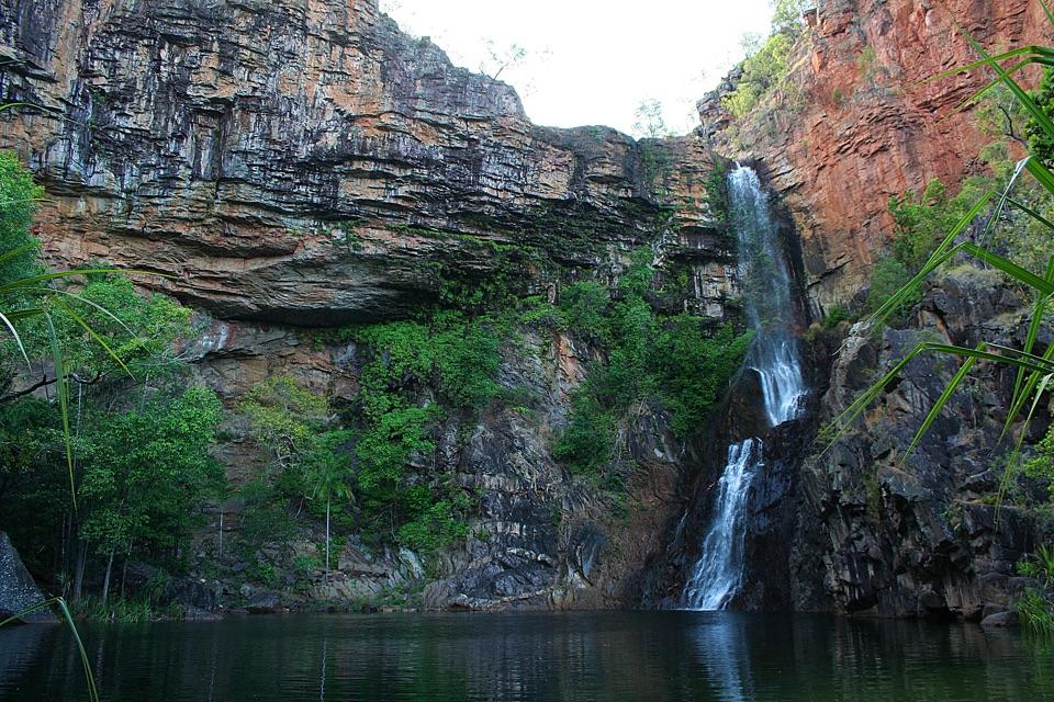 ModerateTjaynera Falls Walk3.4 km · 1.5 hr · 7.9 km awayCycads, paperbarks, and a plunge pool beneath the falls.
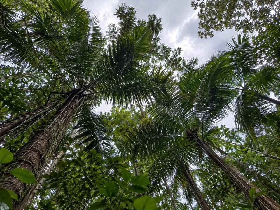 Picnic area · 1 km awayGreenant Creek Picnic AreaShady creekside start to a 2.7 km return walk and lookoutSight · 1.9 km awayTolmer FallsTwin escarpments, one deep plunge pool, and a short sealed path
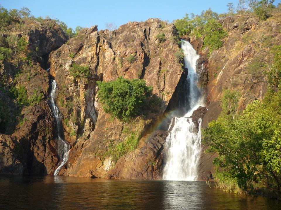 Sight · 3.7 km awayWangi FallsTwin falls into a deep swimming pool, minutes from the carpark
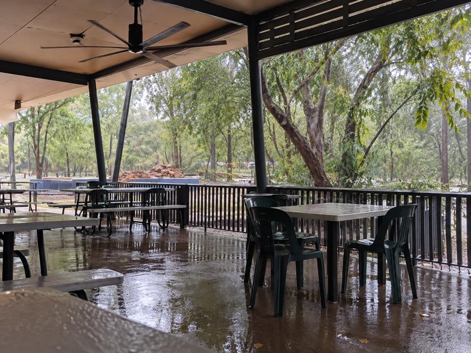 Food · 4 km awayWangi Falls CafeShaded open-air kiosk steps from the plunge pool, with cold drinksCampground · 4.1 km awayWangi Falls CampgroundDrive-in camping near Wangi Falls and its deep plunge pool
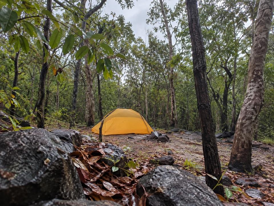 Campground · 4.2 km awaySouthern Campground (Tabletop Track)A rugged woodland overnight stop on the Tabletop Track
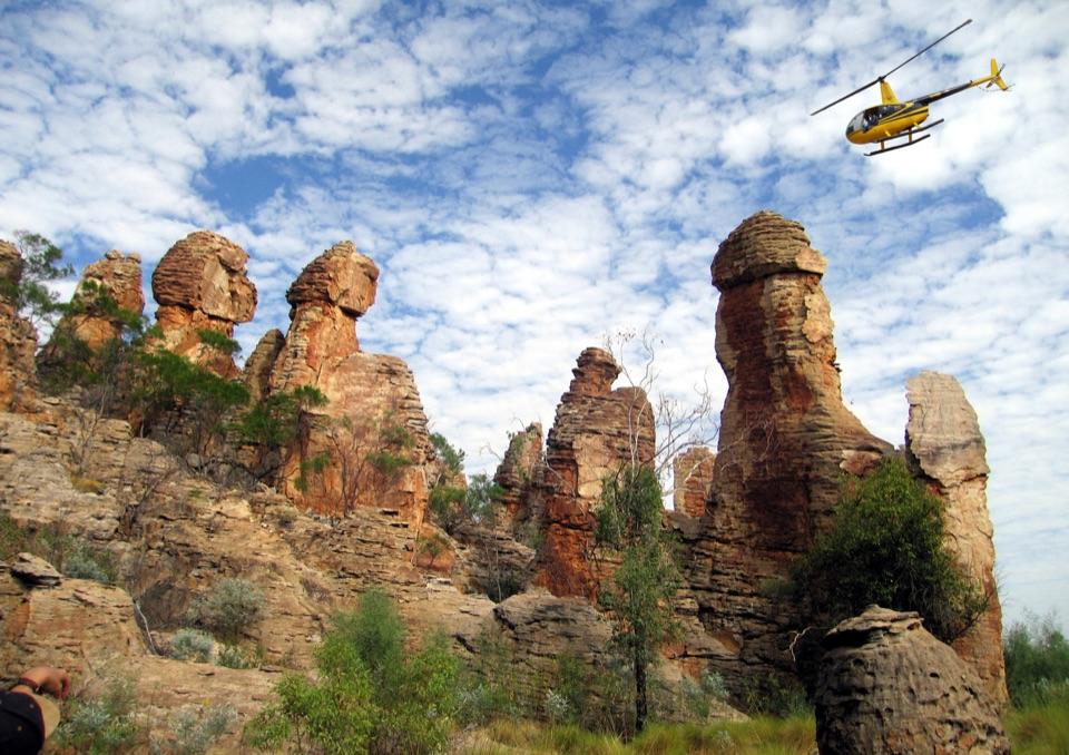 Sight · 4.4 km awayThe Lost CityTowering sandstone blocks like ruined city streets, reached only by 4WD
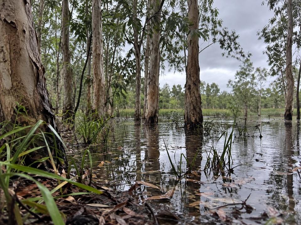 Sight · 5 km awayTabletop SwampA paperbark-fringed wetland for a quiet picnic and unhurried birdwatching
Parkwolf’s Litchfield ranking

The audio tour guide for the drive, plus offline maps, trails, and wildlife heatmaps for when the signal drops.