Parking
At the west end of Loch Àrd, drive through Kinlochard toward the end of the public road, then turn right onto the track to the signed forest car park.
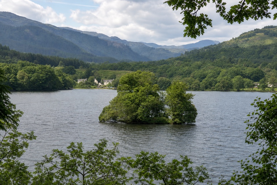
Loch Lomond & The Trossachs National Park, SC
A crannog, lochside tracks and a clear look to Ben Lomond.
Overview
Map & elevation
Plan your hike

The highest, rockiest slopes around here are a summer buffet for grizzly bears.
Loch Lomond & The Trossachs Tour Guide
Parkwolf is a GPS audio tour guide for Loch Lomond & The Trossachs National Park. As you drive, it chimes in with what’s ahead: hidden gems, upcoming stops, history, geology, and wildlife, right through your car’s speakers.
Recorded for this area
Ben Venue from Ledard Farm“Up ahead is the Ledard Farm start for Ben Venue. The lower path follows Ledard Burn past a waterfall before climbing boggy, eroded ground to a rocky ridge.”
Plays on the road 1.3 km from the trailhead in the Parkwolf Loch Lomond & The Trossachs Tour Guide.
More stories near here in the app
“Fantastic app with many points of information… It’s great to just turn on while you’re driving and it gives you an audio tour of the national Park. We love it!!!!”


Trail guide
Kinlochard and the Crannog is a 7.5-mile loop on forest tracks west and south of Loch Àrd. It reaches Couligarten Bay for a view of a small crannog, then returns through the woods with the loch and Ben Lomond below. Allow 3–4 hours. The tracks are mostly well graded and the climbs are gentle, so this is a long but easy-going walk.
From Kinlochard forest car park, return to the road and follow the private track past the sailing-club turn and Blairhullichan. At Strathard, turn left after the white corrugated-iron house and vehicle barrier, then continue through rhododendron and native woodland. The route opens at Couligarten Bay; take the short descent to the shore for a clearer view of the crannog, left of the larger Eilean Gorm. The track stays above the water after that, with a seat at a corner for another look.
At the T-junction, turn left for the full loop; right gives a shorter return to the outward track. The full route climbs through several forest-track forks to the Statue Labour Road cycle route, crosses Bad Dearg, and reaches a bench looking down Loch Àrd toward Ben Lomond. Turn right at the crossroads signed for Kinlochard and keep right at the downhill fork to rejoin your outward track. The route isn’t waymarked, and the smaller shortcut path has become overgrown. Dogs may accompany you under the Scottish Outdoor Access Code; keep them close around wildlife and livestock.
Wildlife
 14 sightingsGolden EagleMost seen around 6 PMSighting map
 37 sightingsRed DeerMost seen around 7 PMSighting map
 100 sightingsMute SwanMost seen around 11 AMSighting map
 48 sightingsOspreyMost seen around 6 PMSighting map
 24 sightingsEurasian BeaverMost seen around 8 PMSighting map
 37 sightingsEurasian Pine MartenMost seen around 7 PMSighting map
Sighting maps show where each species has been reported across Loch Lomond & The Trossachs. Wildlife moves, so no sighting is guaranteed.
Keep exploring
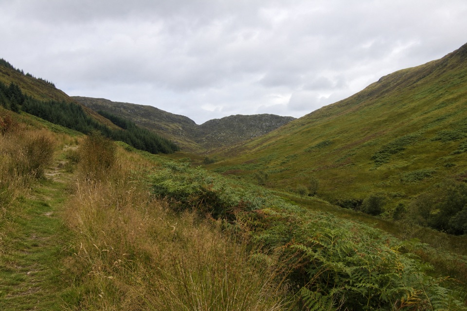 ChallengingBen Venue from Ledard Farm11.7 km · 5.5 hr · 1.3 km awayTwo rough summits reached by a boggy glen and burn-side path.
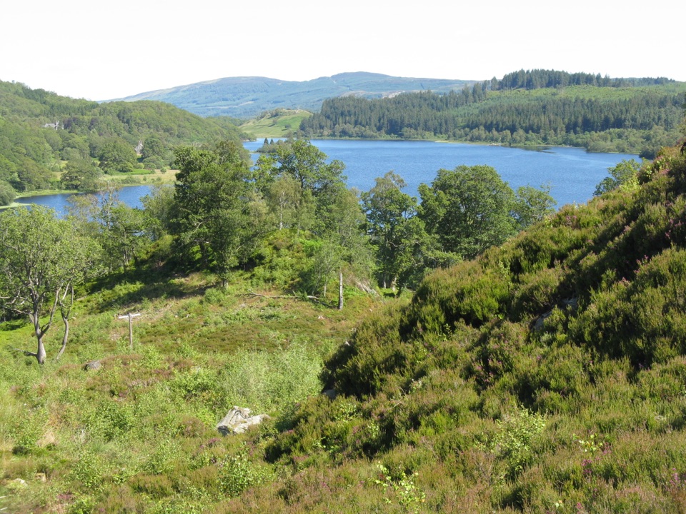 ChallengingLedard Farm to Loch Achray10.5 km · 5 hr · 1.3 km awayA rough high crossing links Loch Ard and Loch Achray.
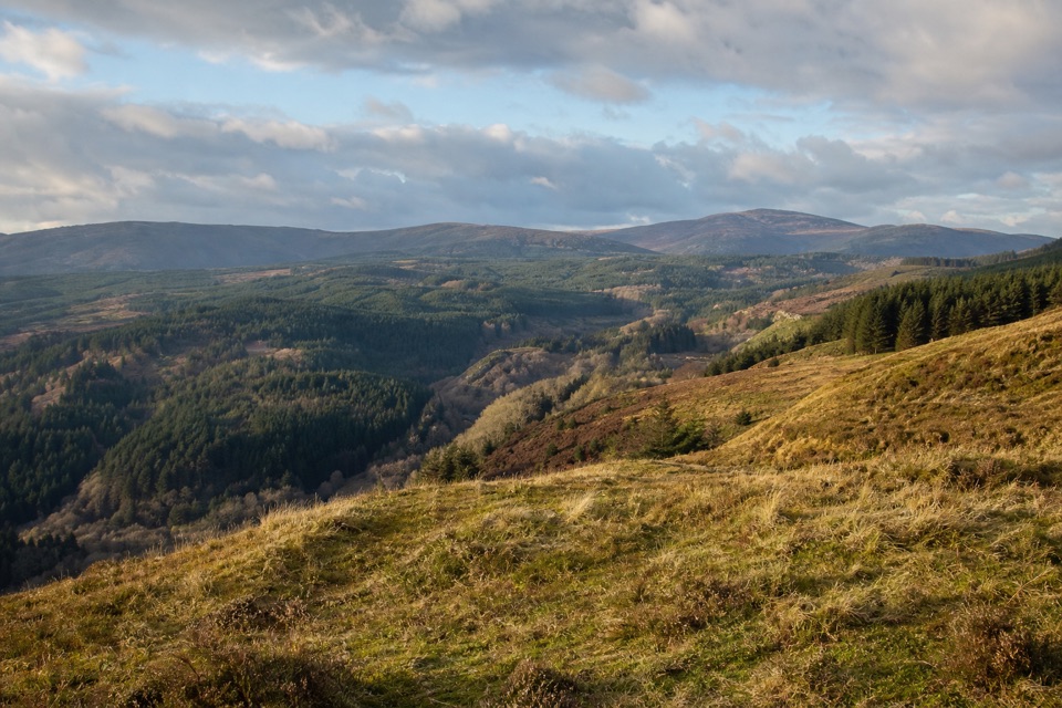 ModerateForth Valley Viewpoint Trail3.2 km · 1 hr · 5.2 km awayA short steep climb to broad views over Aberfoyle and Forth Valley.
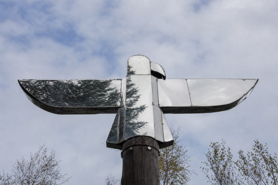 ModerateLoch Àrd Sculpture Trail6.8 km · 2.5 hr · 5.3 km awayFind the mirrored eagle and squirrel sculpture in the woods.
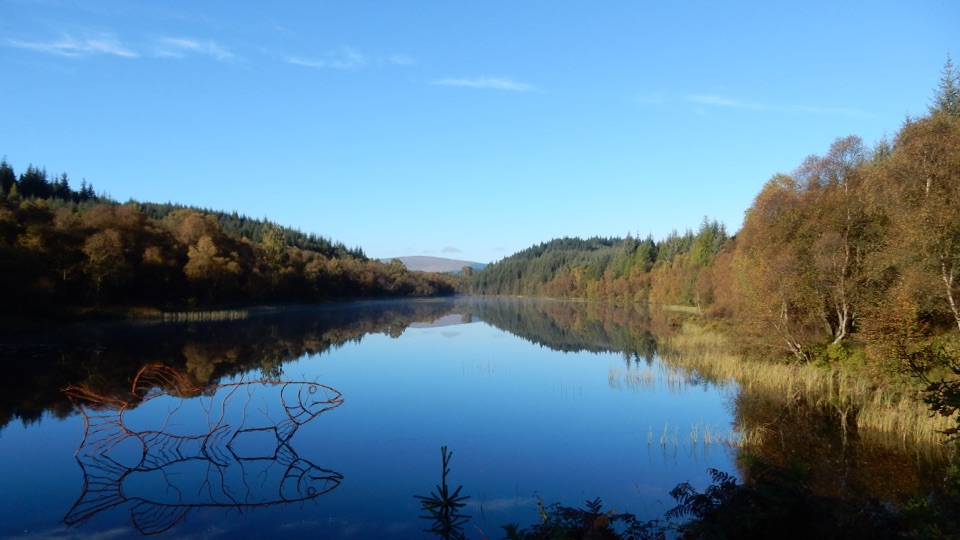 ModerateLochan Spling Trail4.2 km · 1.5 hr · 5.3 km awayA fish sculpture seems to leap from the lochan.
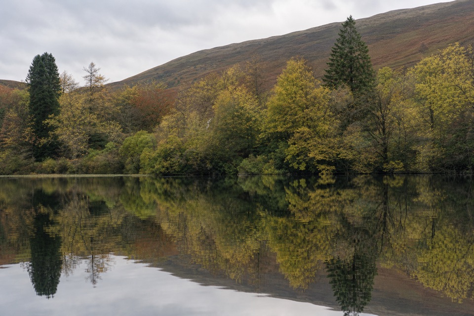 ChallengingEight Mile Loop, Loch Ard13.7 km · 5.5 hr · 5.3 km awayA long Loch Ard forest loop with mountain views and shoreline.
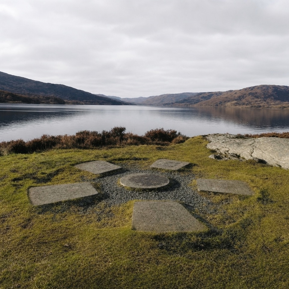 ModerateBrenachoile Trail7.2 km · 2.5 hr · 7.1 km awayOak-lined shore, story panels and a picnic point above Loch Katrine.
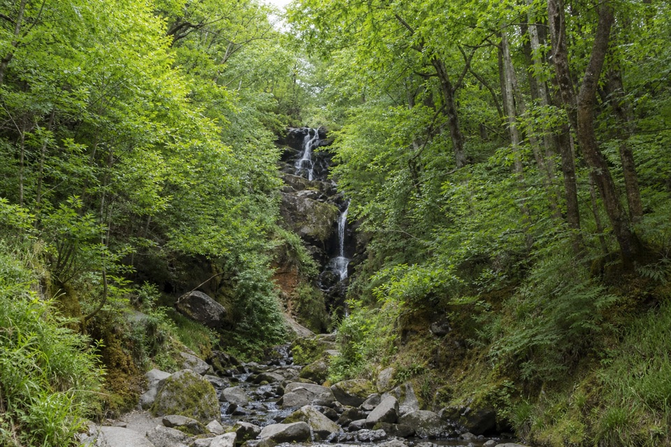 ModerateOak Coppice Trail3.2 km · 1.1 hr · 7.3 km awayA short circuit among old oaks draped in velvety green lichen
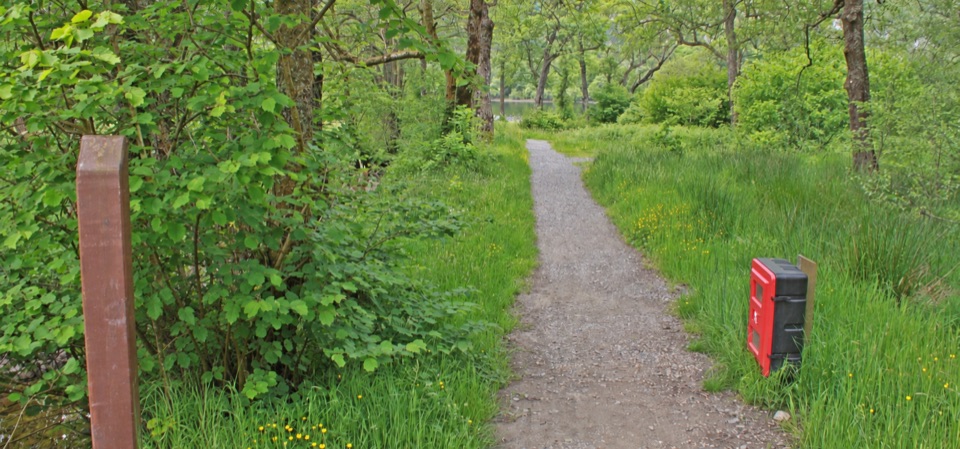 Campground · 3.2 km awayLoch Chon CampsiteWoodland camping with the loch on your doorstep.
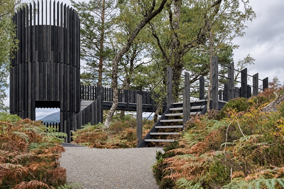 Sight · 7 km awayLoch Katrine Scenic TowerA short climb to the viewpoint that started Scottish tourism.
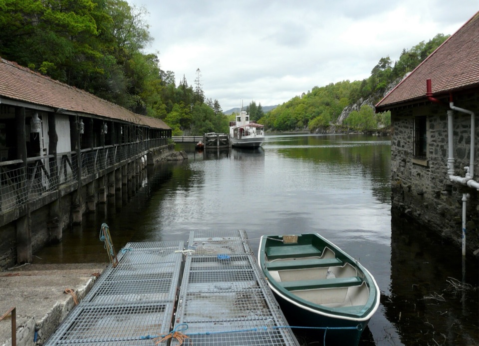 Sight · 7.1 km awayTrossachs PierHistoric cruises, a panoramic tower, and a lochside day out.
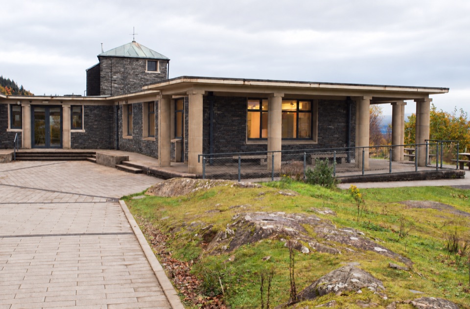 Visitor center · 7.3 km awayThe Lodge Forest Visitor CentreStart here for the waterfall walk, wildlife hide and forest views.
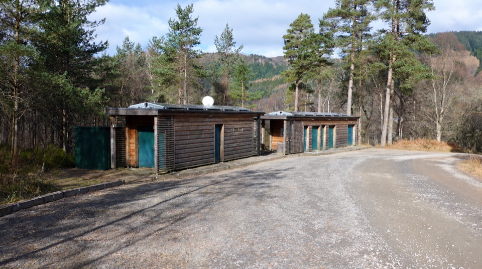 Campground · 7.9 km awayLoch Achray CampsiteA basic 17-pitch base for Loch Achray and Ben A’an walks.
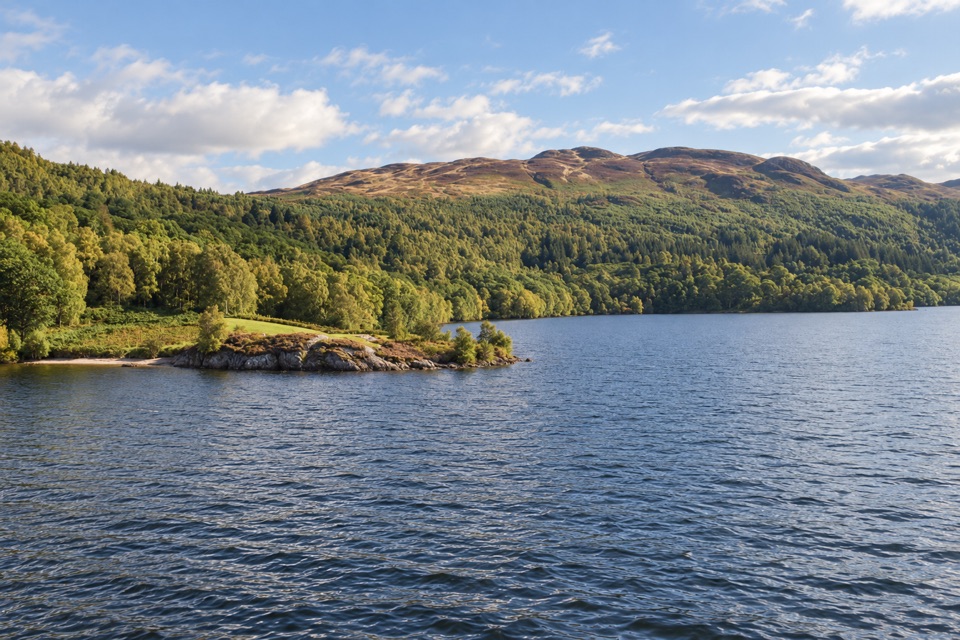 Sight · 8 km awayBrenachoile PointA grassy peninsula for a picnic beside the loch
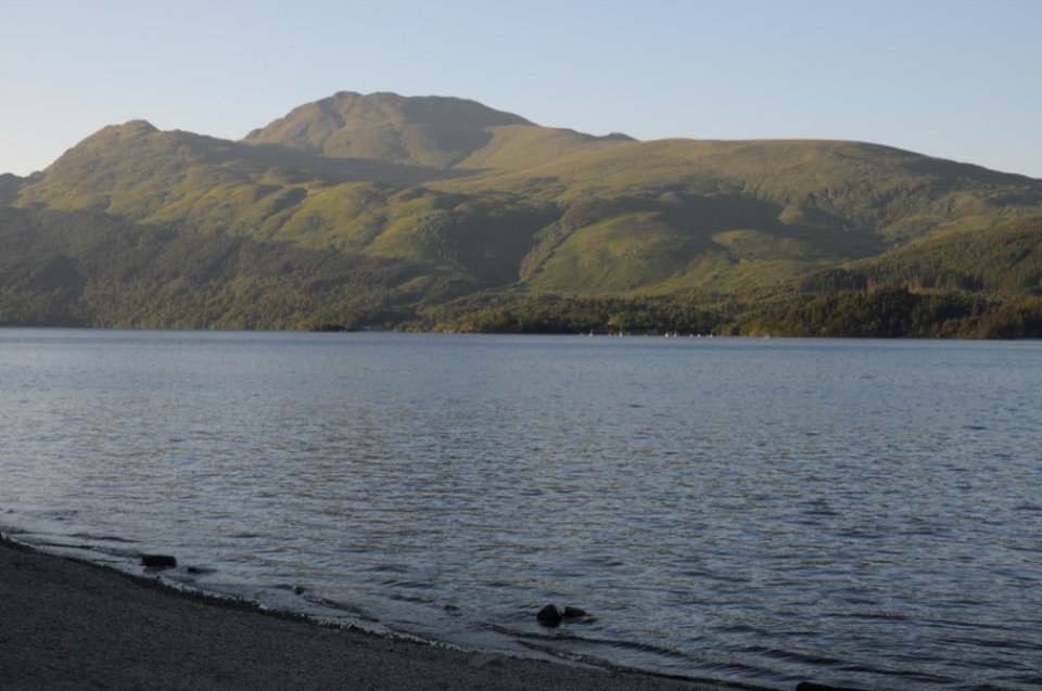 Sight · 8 km awayBen LomondA hard climb to a summit with Loch Lomond spread below.
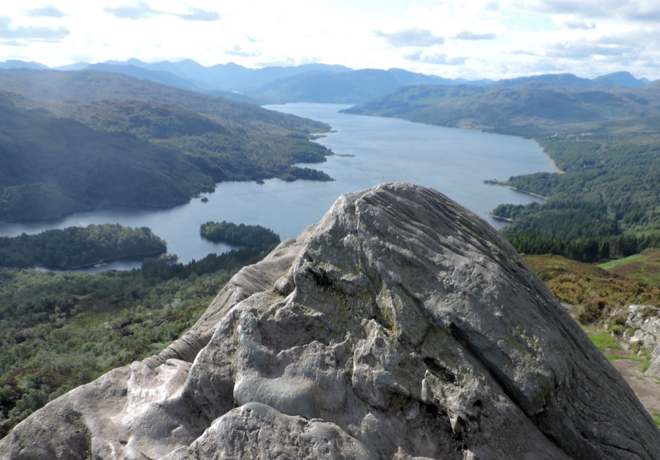 Sight · 8.2 km awayBen A’anSteep 4km return climb to a rocky top above Loch Katrine
Parkwolf’s Loch Lomond & The Trossachs ranking

The audio tour guide for the drive, plus offline maps, trails, and wildlife heatmaps for when the signal drops.





