
Place · 3.3 mi away
Moderate
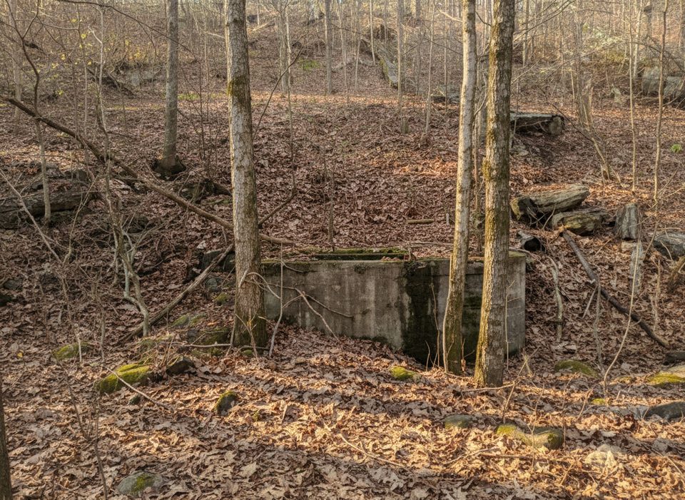
Mill Branch is a 2.9‑mile one‑way, moderate backcountry trail on the north side of Mammoth Cave’s trail network. It’s shared with equestrians and marked by blue blazes with mileage posts every quarter mile. Expect a quieter, woods‑first experience rather than big overlooks—this one’s about solitude, connection options, and classic Kentucky hardwood forest. It’s open year‑round and popular with hikers and birders.
The trail runs between the Big Hollow Trailhead (mile 0.0) and the Collie Ridge Trail. From Maple Springs Trailhead, you can reach the Mill Branch/Collie Ridge area via a 1.0‑mile connector on the Maple Springs Trail, then link into Mill Branch. Grades are generally friendly (<10%) with a short 100‑foot dip around 20% and a brief 0.1‑mile climb around 11%. You’ll cross the rocky beds of Dry Prong and Mill Branch—both often dry. Just before the Mill Branch crossing, watch for a subtle left; it’s easy to miss if you’re not tracking the blue blazes and hoofprints.
This is true singletrack in places (not just old road), but sections can be narrow, overgrown, and trenched into knee‑deep gullies from horse traffic. Expect mud, ruts, and rocky footing, especially west of the Raymer Hollow junction where rubble, deep mudholes, and occasional downed trees make travel slower. Near the Raymer Hollow intersection, the route becomes an old dirt road and trends uphill.
Mill Branch shines as part of a longer day out. The Maple Springs – Raymer Hollow – Mill Branch loop is roughly 12.5 miles and generally moderate, offering a satisfying tour of the backcountry network without repeating too much trail. If you want less mileage, an out‑and‑back from Maple Springs to the Raymer Hollow junction via Mill Branch makes a solid medium outing.
You can hike this year‑round. Spring can mean mud and ticks; summer brings more vegetation and ticks; fall offers the best footing and foliage; winter is quiet but can be messy after rains. The Maple Springs side typically sees fewer crowds than the visitor‑center area, regardless of season. Start early after wet weather to give mud a bit more time to set up, and budget extra time if conditions are sloppy.
Wear long pants—briers and overgrowth are common. Bring bug repellent and do frequent tick checks. Because it’s shared with horses, yield appropriately and expect churned mud. Navigation is straightforward thanks to blue blazes and quarter‑mile markers, but a detailed waterproof map is still smart for stitching together loops. Backcountry camping in the area is by permit only.
If you’re chasing overlooks, look elsewhere. If you want a quieter, woods‑heavy backcountry link that opens up bigger loops with some honest, messy trail underfoot, Mill Branch delivers.
Park at Big Hollow Trailhead (mile 0.0 for Mill Branch) or at Maple Springs Trailhead; from Maple Springs, hike 1.0 mile on the Maple Springs Trail to reach the Collie Ridge/Mill Branch junction.
Shared with horses; yield and expect ruts and mud. Narrow, overgrown sections include briars and knee‑deep gullies. Rocky dry creek crossings at Dry Prong and Mill Branch; a subtle left before the Mill Branch crossing is easy to miss—follow blue blazes. Ticks are common; use repellent and check often.
Place · 3.3 mi away
Place · 3.8 mi away
Place · 5.1 mi away
Place · 5.3 mi away

Moderate · 1.9 mi away
Challenging · 2 mi away

Moderate · 3.2 mi away
Moderate · 3.6 mi away

Parkwolf Tour Guide
