Parking
Start at the Lake Sylvan car park at the road end. Follow Lake Sylvan Track to its junction with the Rockburn route. Parking capacity and fees were not verified.
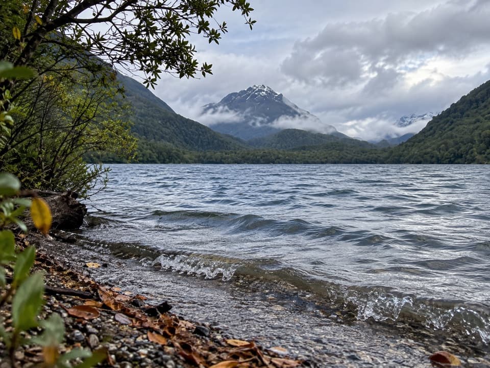
Mount Aspiring National Park, OT · WC
A long forest tramp pays off at Rockburn’s blue pools.
Overview
Map & elevation
Plan your hike

The highest, rockiest slopes around here are a summer buffet for grizzly bears.
Mount Aspiring Tour Guide
Parkwolf is a GPS audio tour guide for Mount Aspiring National Park. As you drive, it chimes in with what’s ahead: hidden gems, upcoming stops, history, geology, and wildlife, right through your car’s speakers.
See the Mount Aspiring audio tourRecorded for this area
Lake Sylvan and the Old Tramline“Lake Sylvan's access road is coming up, for a walk through red beech forest to a small lake. From the car park, allow about forty minutes each way to the viewing platform, with glimpses of Mount Earnslaw across the lake.”
Plays on the road 0.6 km from the trailhead in the Parkwolf Mount Aspiring Tour Guide.
More stories near here in the app
“Fantastic app with many points of information… It’s great to just turn on while you’re driving and it gives you an audio tour of the national Park. We love it!!!!”


Trail guide
Lake Sylvan–Rockburn Track is a 14.5 km (9.0 mi) out-and-back from the Lake Sylvan car park to the Rockburn shelter and chasm, then back the same way. Allow about five hours; four to six is a sensible range once you include the rougher sections and time at the river. The route follows the wooded east side of Lake Sylvan, climbs through beech forest, then drops into the Rockburn gorge and its blue pools. It’s a good half-day for the chasm; if you only want a quick lake view, the shorter Lake Sylvan viewing-platform walk is a much smaller commitment.
From the car park, follow Lake Sylvan Track to its junction with the Rockburn route. The path skirts the lake’s eastern slope, sometimes steeply, with views over the water to the wooded Sugarloaf foothills. The water can look amber even when it’s clear: tannins from the surrounding foliage tint it. The track is uneven, with boggy stream crossings and rough patches, so expect a proper tramping track rather than an easy shoreline stroll.
Beyond the lake, the route climbs a small drainage through beech forest, mossy knolls and fern-covered bluffs. Orange triangle markers help with the wayfinding. Keep an eye out for native robins, fantails and riflemen along the Lake Sylvan approach; Paradise ducks are sometimes seen on the lake. There’s no guarantee of a sighting, but the quieter forest stretch is a good place to keep an eye out.
At the Rockburn Track junction, take the branch toward the shelter and the old hut site. A short detour reaches a bridge above a deep, narrow gorge where the Rock Burn cuts through rock. Follow the water downstream to blue pools and a broad, stony shore at the Dart River plain. At the bridge, aim your view down into the chasm; the water and rock walls show the scale better than a frame of the surrounding forest. The shelter sits in the trees, with the river beaches and pools nearby.
This outing turns back at the Rockburn shelter and chasm. The longer Sugarloaf/Rockburn traverse continues over fragile Sugarloaf Saddle and descends to the Routeburn Track; that is a separate, much longer trip. Dogs are prohibited on the track. No on-route food service was documented in the sources checked.
Wildlife
 60 sightingsKeaMost seen around 5 PMSighting map
 112 sightingsRockwrenMost seen around 8 AMSighting map
 26 sightingsYellowheadMost seen around 8 AMSighting map
 13 sightingsTūīMost seen around 7 AMSighting map
 27 sightingsBellbirdMost seen around 7 AMSighting map
 35 sightingsRiflemanMost seen around 8 AMSighting map
Sighting maps show where each species has been reported across Mount Aspiring. Wildlife moves, so no sighting is guaranteed.
Keep exploring
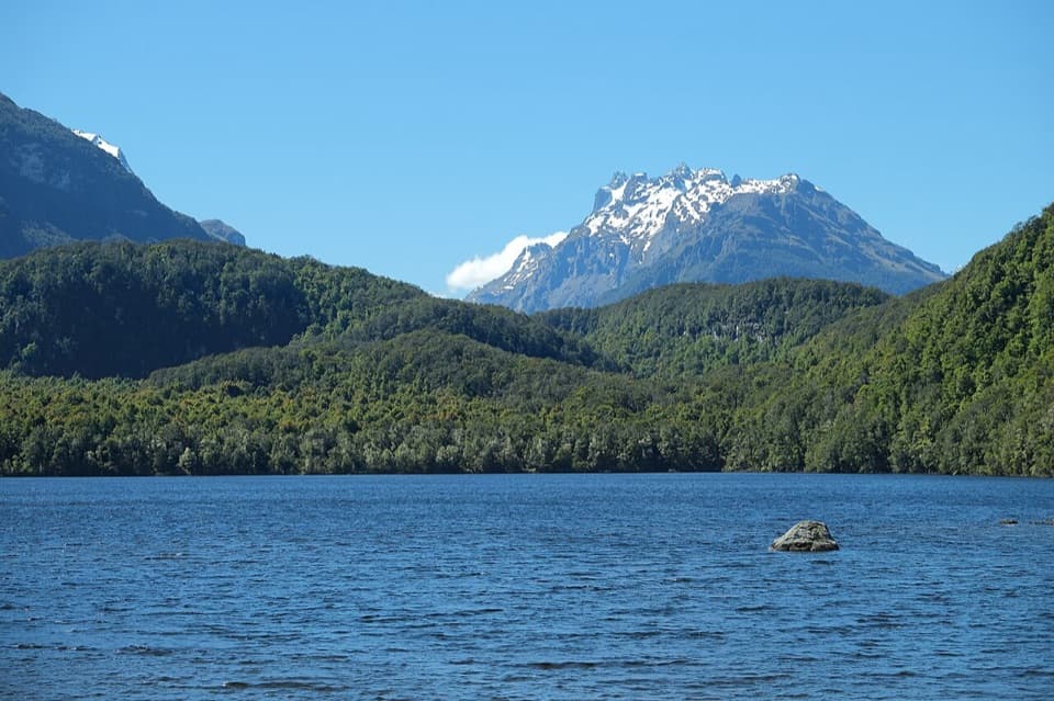 ModerateLake Sylvan Track6.5 km · 1.7 hr · At the trailheadA suspension bridge leads through red beech to a lakeside platform.
 ChallengingRouteburn Track33.1 km · 13.5 hr · 2.9 km awayWaterfalls, alpine wetlands and a 1,255 m pass in one crossing.
 ModerateRouteburn Falls Hut Day Walk19.6 km · 7 hr · 2.9 km awayTwo waterfalls and a high hut make the long climb worthwhile.
 ChallengingTarahaka Whakatipu (Harris Saddle)25.4 km · 10.5 hr · 2.9 km awayA long alpine day ends at a shelter above Lake Harris.
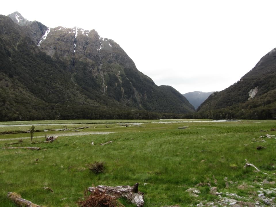 ModerateRouteburn Flats Track15 km · 4 hr · 2.9 km awayFollow an 1870s bridle path to open valley flats.
 ChallengingSugarloaf Pass Track8 km · 6 hr · 2.9 km awayA hard climb to a broad pass above two valleys.
 ChallengingRouteburn North Branch Track21.7 km · 8.5 hr · 2.9 km awayA long valley walk with rough tread and Humboldt mountain views.
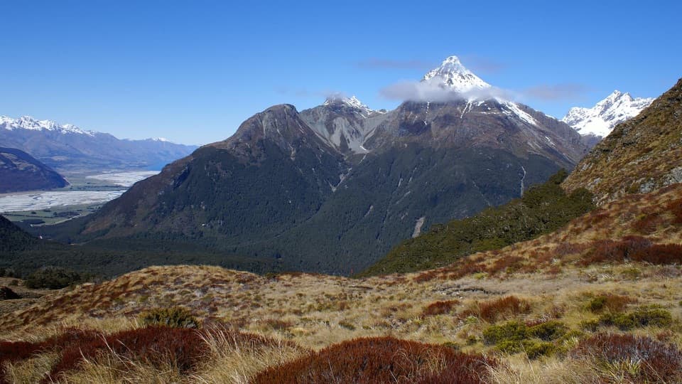 ChallengingSugarloaf/Rockburn Track16.9 km · 9.5 hr · 2.9 km awayAn advanced full-day traverse over Sugarloaf Saddle to Lake Sylvan.
 Campground · 0.7 km awaySylvan CampsiteA simple riverside base for Lake Sylvan and the Routeburn
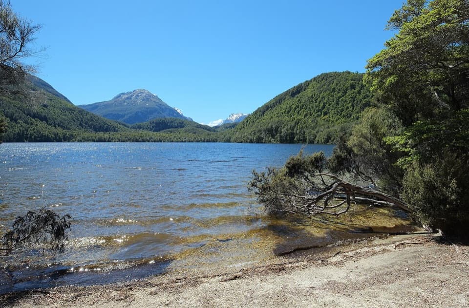 Sight · 2.3 km awayLake SylvanA gentle forest walk ends at a lake with a mountain view.
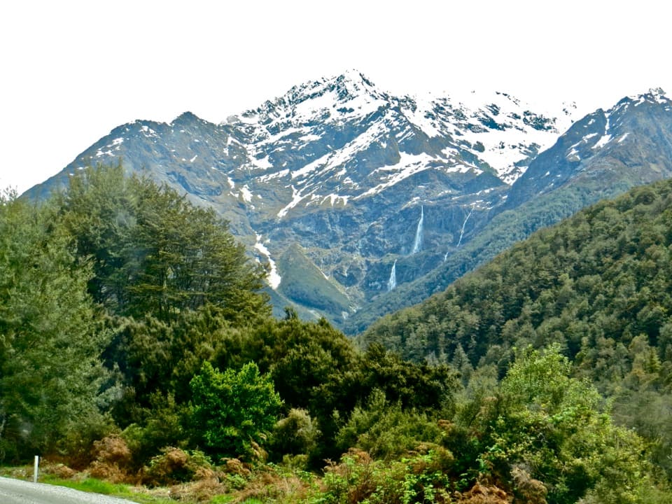 Sight · 5.8 km awayBridal Veil FallsA 57-metre fall framed by the Routeburn's forest and snowy peaks.
 Lodging · 7.8 km awayRouteburn Flats HutA good first night on the Routeburn, with the valley opening wide.
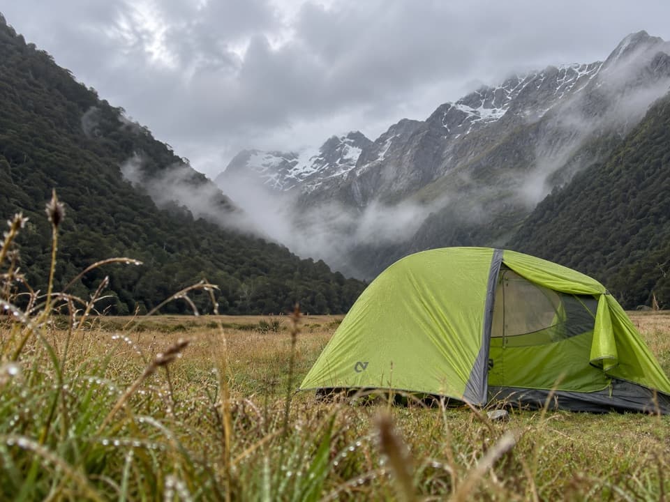 Campground · 8 km awayRouteburn Flats CampsiteA 15-site walk-in camp on the Routeburn's open grassy flats.
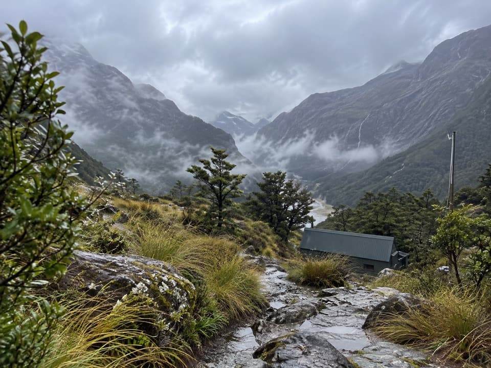 Lodging · 9.1 km awayRouteburn Falls HutSleep at the bushline with the falls close by.
 Sight · 9.1 km awayRouteburn FallsA 9.8 km walk to a cascade at the bushline.
 Sight · 10.9 km awayLake HarrisA wide lake view built into the Routeburn’s high alpine crossing.
Parkwolf’s Mount Aspiring ranking

The audio tour guide for the drive, plus offline maps, trails, and wildlife heatmaps for when the signal drops.




