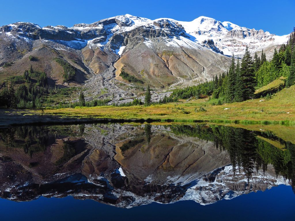
Glacier Basin

Alpine basin with glacier views, mining relics, and goat sightings
Glacier Basin, Mount Rainier National Park
InsideMount Rainier National Park

Overview

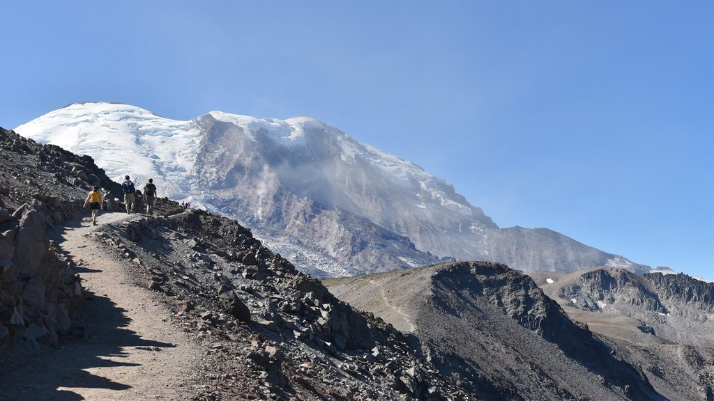
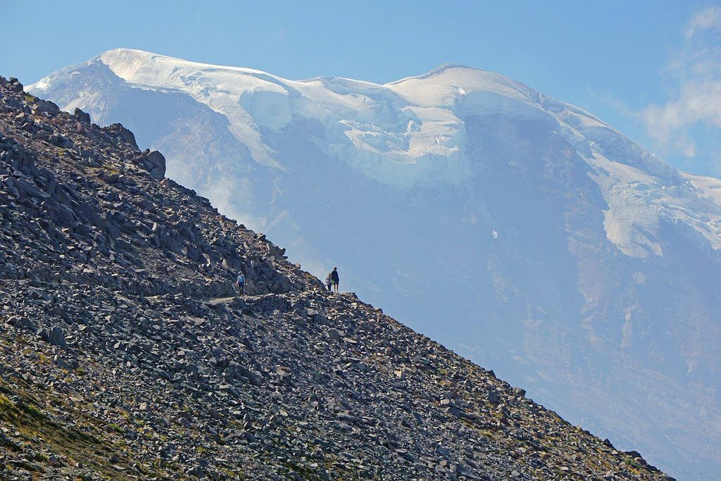
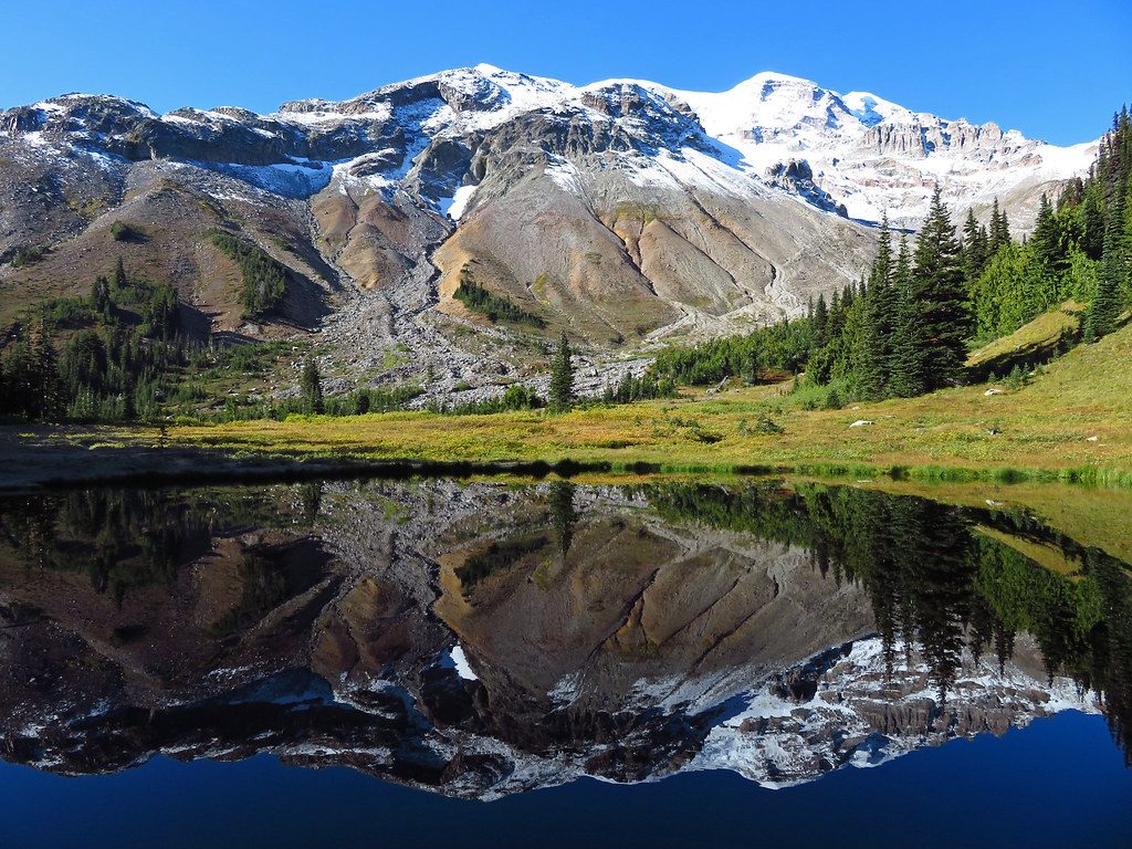
Glacier Basin is a broad, glacially carved valley reached from the White River side. The hike transitions from cool forest to open meadows and stark moraine country, with Mount Rainier and nearby glaciers looming above. It’s a classic moderate outing that doubles as a base area for climbers heading toward the Inter Glacier and Steamboat Prow.

What You’ll See

  • Sweeping views across the river toward Goat Island Mountain, with waterfalls streaming off surrounding glaciers.
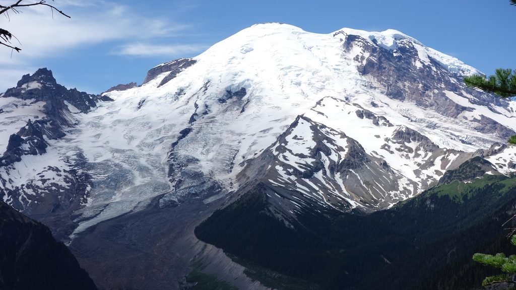
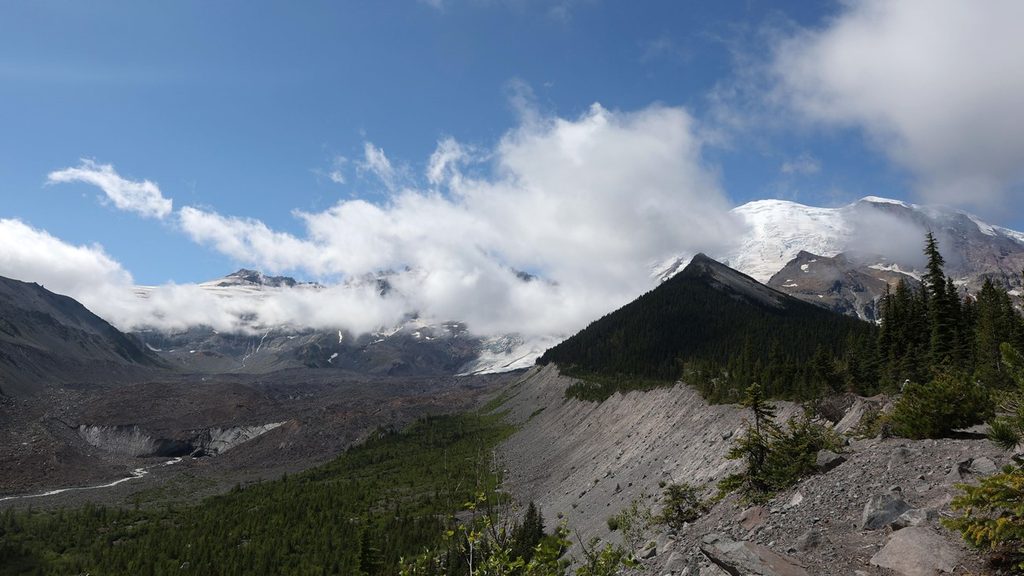
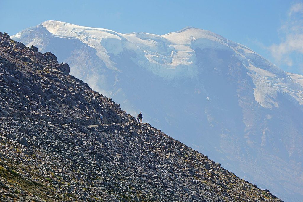
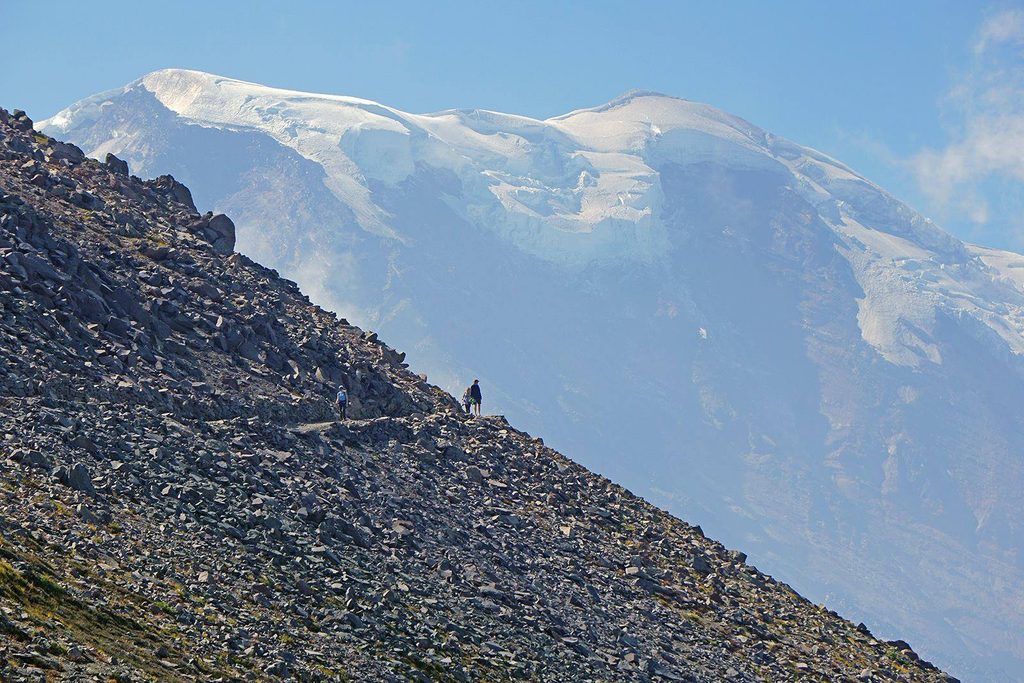
  • Long lateral moraine heaps and the outwash of the Emmons Glacier, plus stark, rugged basin scenery.
  • Open meadows in the basin; campsites are tucked in trees just before the meadows.
  • Keep an eye out for mountaineering parties on the Inter Glacier.

Wildlife

Mountain goats are often spotted on the surrounding slopes. You may also catch the chatter of marmots and birds as you near the open basin.

Trail & Difficulty

Plan on roughly 7–8 miles round trip, generally moderate with a steadier push near the basin. The route is well‑traveled and popular with hikers, backpackers, and climbers. Expect creek crossings that can be wet or awkward in early season or after storms.

History

This valley carries a colorful mining past. Beginning in the 1890s, Glacier Basin hosted dozens of copper claims, and you can still notice rusted relics from that era along the way. Mining controversies persisted into the 20th century before claims were finally relinquished, ending operations here.

Best Time to Visit

  • Late spring through mid‑summer brings lively wildflowers and fuller waterfalls.
  • Summer weekends are busiest; go early for a more peaceful start.
  • Snowmelt seasons can complicate creek crossings—bring waterproof footwear and patience.

Tips for Making the Most of It

  • Watch the slopes for mountain goats from the basin; give them space.
  • Backpacking? Wilderness permits are required for the Glacier Basin backcountry camp.
  • For a tougher, quieter extension, use the junction toward Burroughs Mountain about 2.4 miles in; it’s steep but sees fewer people.
  • Treat all water—there’s no potable supply in the basin.
  • For the best mountain vistas, continue a short way beyond the established camp into the open basin.

Pros

  • Big alpine views of Emmons Glacier moraines, waterfalls, and meadows
  • Fun history with visible old mining relics along the route

Cons

  • Very popular in peak summer
  • Creek crossings can be tricky, especially early season or after rain

Tips

  • Bring waterproof footwear and poles—creek crossings can be wet or slick.
  • Secure a wilderness permit in advance if you plan to camp.
  • For fewer people, consider the steep Burroughs Mountain connection at ~2.4 miles.
  • Look for goats on the slopes from the basin; keep distance and don’t approach.
  • Continue a bit past the camp for the most open views into the basin.
The Parkwolf tour guide sitting on a phone mounted in a car

Parkwolf Tour Guide

Like a tour guide in your car.

Save the places you found around Mount Rainier, then let Parkwolf guide the drive between them.Download Parkwolf on the App Store