Pros & cons
PROS
- 6 bunks with mattresses
- Cozy open fire and handy woodshed
- Budget-friendly standard DOC hut fees
CONS
- Water is from a nearby source and should be treated
- Heating is open fire only with basic backcountry toilet
Overview
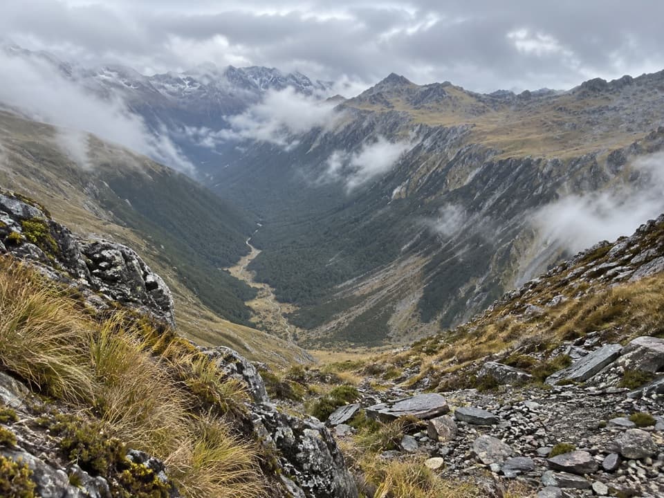
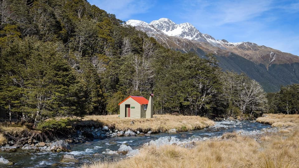
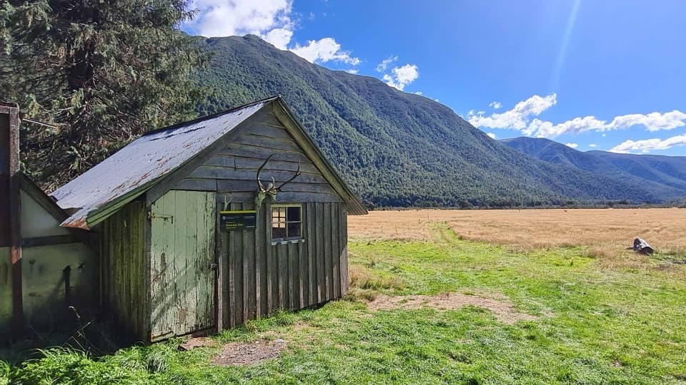
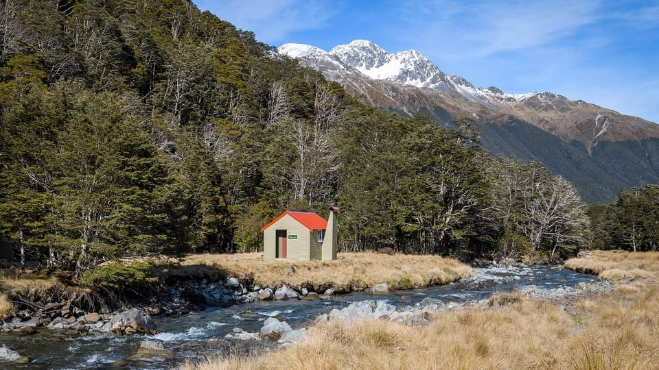
Tucked in the East Matakitaki valley, this standard 6‑bunk hut sits around 920 m and does exactly what you want a classic Nelson Lakes backcountry hut to do: keep things simple, warm, and out of the weather. Expect a straightforward spot to break a long valley day, not a destination lodge.
Facilities & Fees
Inside you’ll find mattresses on the bunks, basic heating via an open fire, and a standard backcountry toilet. There’s a woodshed to help keep the fire going, and water is collected from a nearby river/stream (treat or boil it). Fees follow the Department of Conservation’s Standard Hut rates: adults NZ$10 per night, youth (5–17) NZ$5, and children 0–4 free. Pay with Standard Hut Tickets (drop them in the honesty box) or use a Backcountry Hut Pass.
History & Upkeep
Built around 1962 to the classic S70 six‑bunk design, the hut got a fresh coat of paint in 2012/13. In September 2020 it received a solid spruce‑up: new roof, underlay, and purlins, a chimney cap, exterior repaint, and a woodshed built from the old roofing iron as part of a Jobs for Nature project.
Orientation
For navigation, the hut is on NZTopo50 map sheet BT23 with NZTM2000 coordinates E1563414, N5328538. If you like a GPS backup, those references make it easy to pin down the exact site on most mapping tools.
What It’s Like
This is a no‑frills, quietly dependable valley hut. The open fire is the star on cold nights; otherwise you’re here for shelter, a flat bunk, and the feel of a true backcountry stopover rather than amenities.
Best Time to Visit
Pick a settled forecast and shoulder your way in when rivers are manageable and nights are cool enough to appreciate the fire. Weather in New Zealand’s parks can shift fast any time of year, and track closures do happen—check current DOC alerts before you commit.
Where it is
-42.1935, 172.5578Tips for East Matakitaki Hut
- 01Bring Standard Hut Tickets or a Backcountry Hut Pass and use the honesty box.
- 02Treat or boil water collected from the nearby river or stream.
- 03Plan for heating via an open fire only; the woodshed helps if stocked.
- 04Carry the NZTopo50 BT23 map; the hut sits at NZTM E1563414, N5328538.
- 05Check DOC alerts and forecasts—conditions can change quickly year‑round.
Amenities
Near East Matakitaki Hut
All places →All trails →
4.5 mi awayDownie HutTiny, historic hut on a beech-edged flat in Matakitaki ValleyRestroom · Lodging
5.4 mi awayWaiau HutCosy 6 bunk stop on the Waiau Pass thru routeLodging · Restroom
8.1 mi awayWaiau PassSteep alpine saddle on Te Araroa with big viewsScenic Viewpoint
9.8 mi awayLake ConstanceRemote alpine lake above sacred Blue Lake
14.4 mi awayBlue Lake/Rotomairewhenua TrackSacred, crystal-clear lake reached by a demanding multi-day tramp.Challenging · 5 mi · 3.5 hr
14.4 mi awayWest Sabine TrackRiver‑valley ramble from West Sabine Hut to Lake Rotoroa’s Sabine HutModerate · 9 mi · 5 hr
15.5 mi awayTravers Saddle TrackClassic alpine pass day on the Travers–Sabine Circuit; steep, seriousChallenging · 0 mi · 8 hr
18.6 mi awayCupola TrackSteep climb from John Tait Hut to a cozy, quiet alpine basinChallenging · 5 mi · 3.8 hr