Parking
The route begins at East Matakitaki Hut, not a road-side trailhead. Reach it as part of a backcountry itinerary and plan the wider route and exit from Upper D’Urville Hut separately.
Nelson Lakes National Park, TM
A remote hut crossing over a steep, sparsely marked alpine saddle.
Overview
Map & elevation
Plan your hike

The highest, rockiest slopes around here are a summer buffet for grizzly bears.
Nelson Lakes Tour Guide
Parkwolf is a GPS audio tour guide for Nelson Lakes National Park. As you drive, it chimes in with what’s ahead: hidden gems, upcoming stops, history, geology, and wildlife, right through your car’s speakers.
“Fantastic app with many points of information… It’s great to just turn on while you’re driving and it gives you an audio tour of the national Park. We love it!!!!”


Trail guide
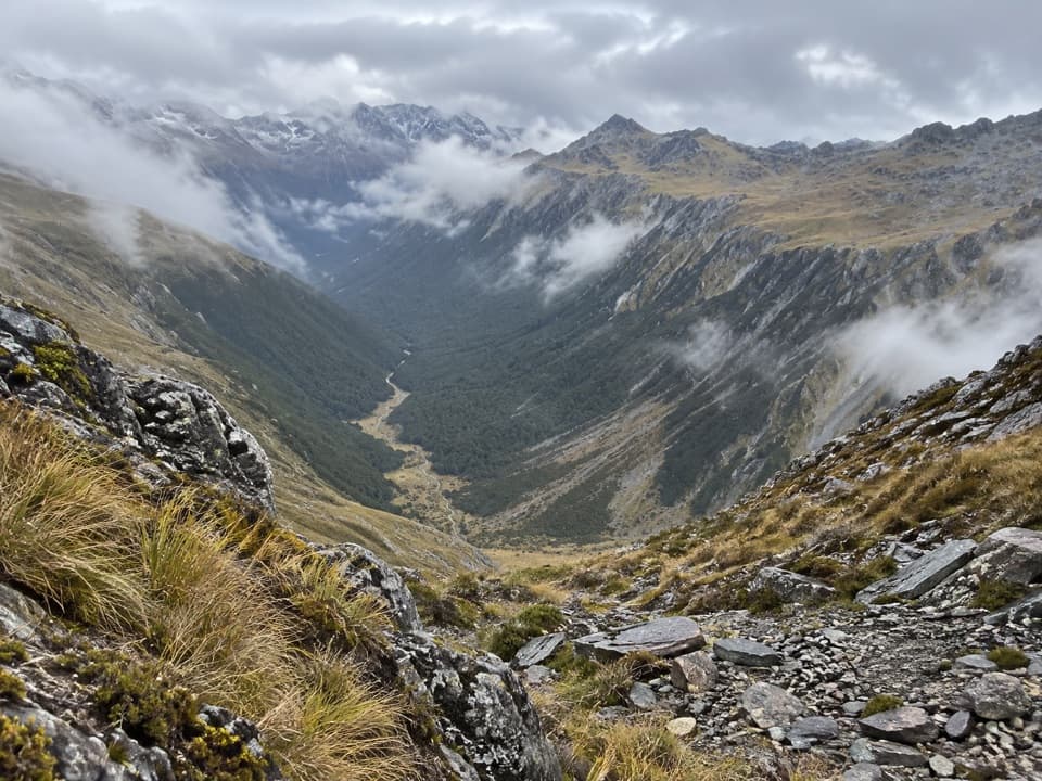
The David Saddle Route is a 7.4-mile (12 km) one-way backcountry crossing from East Matakitaki Hut to Upper D’Urville Hut. It follows the upper Matakitaki valley, climbs a steep alpine saddle and drops into the D’Urville headwaters. This is for experienced trampers comfortable with river fords and off-track route-finding, not a maintained day-walk trail. Published times vary from six hours between the huts to a much longer day in detailed route records; allow about 12 hours and do not treat the six-hour figure as a safe time budget.
The first stretch above East Matakitaki Hut follows open river flats on the true left bank (left when facing downstream), with repeated crossings. After the flats narrow, a rough track climbs through forest on the same side; it is overgrown in places and its markers are intermittent. Beyond it, the route alternates between clearings, boulders, creek bed and faint footpads. The wedge of David Saddle appears at the head of the valley.
From the forks, the recorded northbound line follows the creek to a bend near 1,340 m, then climbs a steep rock rib and cuts across into a narrow gut to reach the roughly 1,790 m saddle. The top stays hidden until late in the climb, and sharp-edged schist makes the ground slow. Beyond the saddle, descend tussock to about 1,400 m, sidle right toward a bush remnant, then follow intermittent orange triangles and a creek bed to a marked foot trail near 1,100 m. That track leads to Upper D’Urville Hut. Cairns and markers can be difficult to follow in cloud.
Wildlife
 20 sightingsNew Zealand FalconMost seen around 9 AMSighting map
 39 sightingsWekaMost seen around 7 AMSighting map
 11 sightingsKererūMost seen around 9 AMSighting map
 55 sightingsBlack SwanMost seen around 8 AMSighting map
 23 sightingsParadise ShelduckMost seen around 6 AMSighting map
 17 sightingsTūīMost seen around 7 AMSighting map
Sighting maps show where each species has been reported across Nelson Lakes. Wildlife moves, so no sighting is guaranteed.
Keep exploring
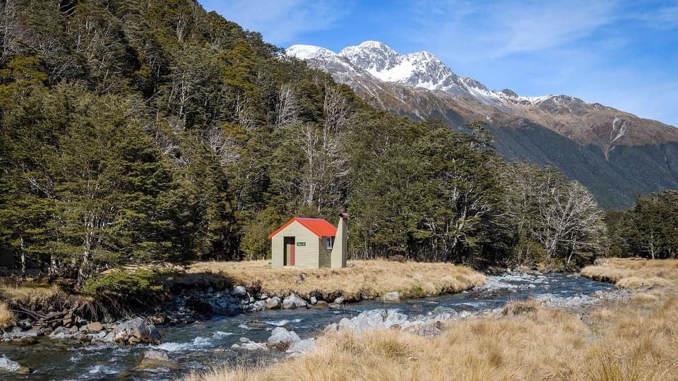 ModerateEast Matakitaki Track4.3 km · 3 hr · 3.6 km awayA beech-forest tramp to a six-bunk hut beside the river.
 ModerateWest Matakitaki Track to Bobs Hut6.6 km · 4 hr · 4 km awayA remote hut beneath the Spenser peaks, beyond a final river crossing.
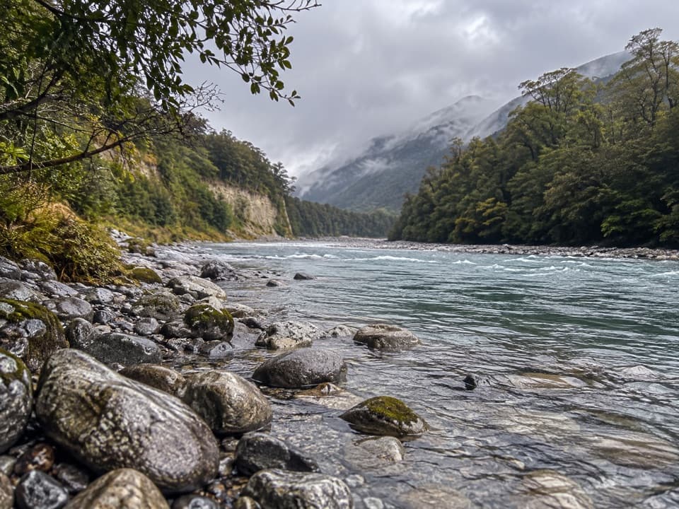 ModerateMatakitaki Forks Route11.9 km · 5 hr · 7.2 km awayA mossy beech track to a remote Matakitaki river crossing.
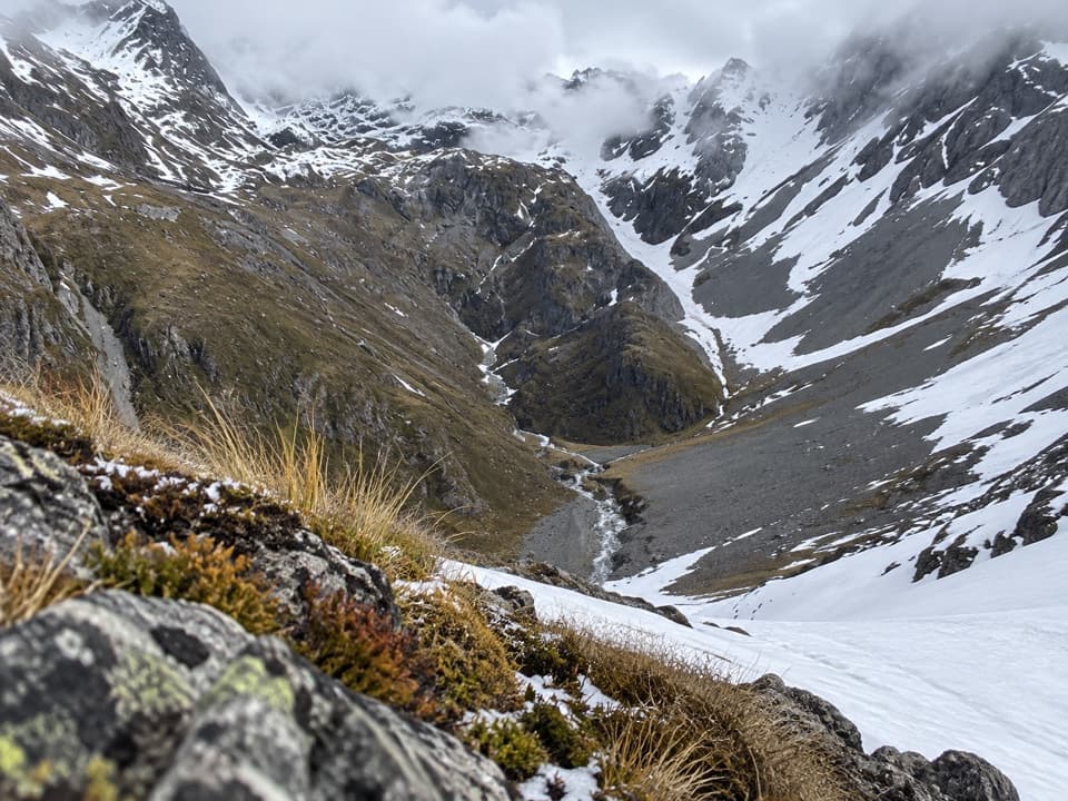 ChallengingThompson Pass Route5.4 km · 4.5 hr · 11.9 km awayA high alpine crossing for expert backcountry parties.
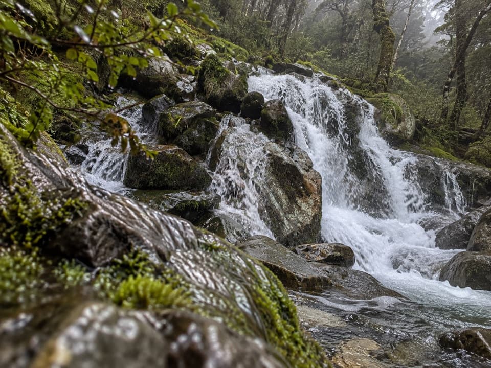 ChallengingMcKellar Stream Route4.9 km · 3.8 hr · 12.4 km awayA rough, remote descent from the Ella Range into Matakitaki Valley
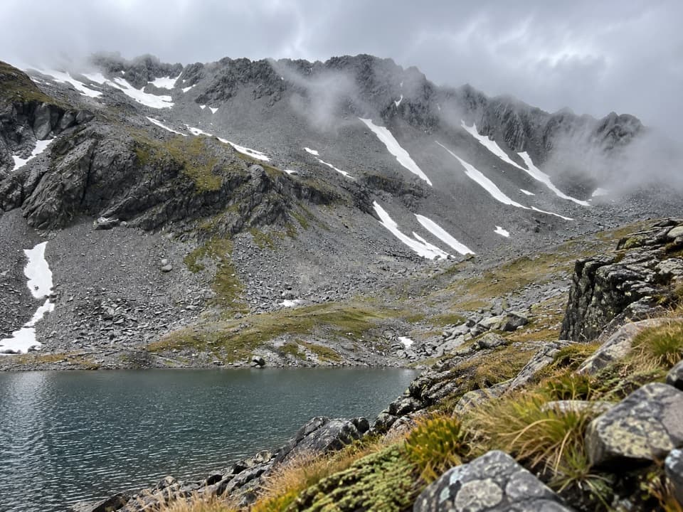 ChallengingThree Tarn Pass Route14.4 km · 12 hr · 14.9 km awayA remote alpine crossing past three tarns into steep river country.
 ChallengingRotopōhueroa/Lake Constance Track5.6 km · 5 hr · 17 km awayA steep moraine climb to a sacred alpine lake.
 ChallengingWaiau Pass Route16.7 km · 11.5 hr · 17 km awayA remote, expert alpine crossing over Waiau Pass.
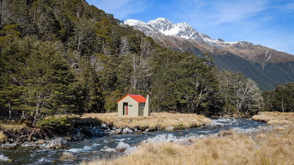 Lodging · At the trailheadEast Matakitaki HutA riverside six-bunk hut for a proper backcountry tramp.
 Lodging · 6.8 km awayBobs HutAn eight-bunk 1958 hut deep in the Matakitaki backcountry.
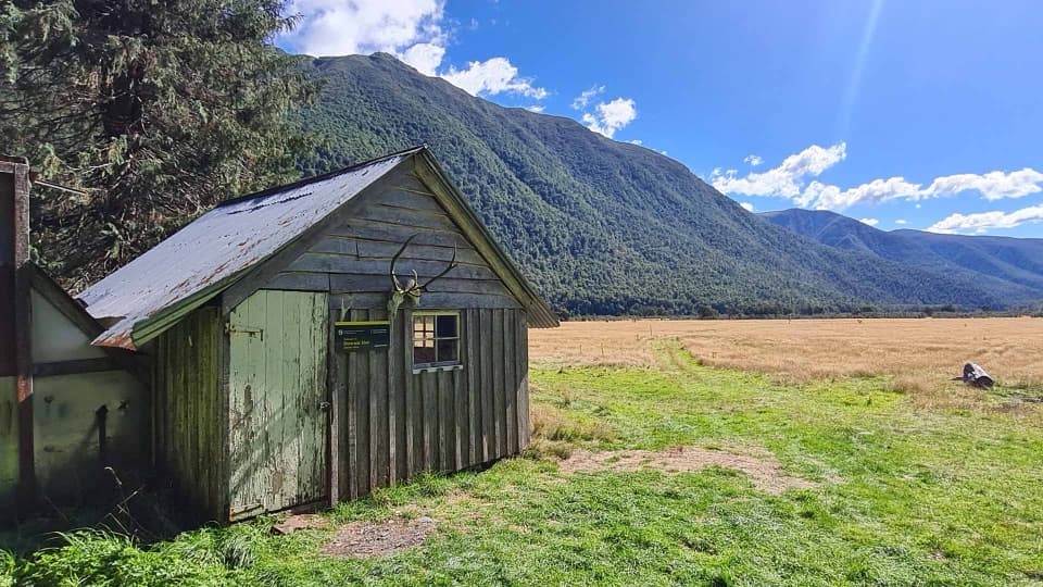 Lodging · 7.2 km awayDownies Hut1902 graffiti survives in this small backcountry hut.
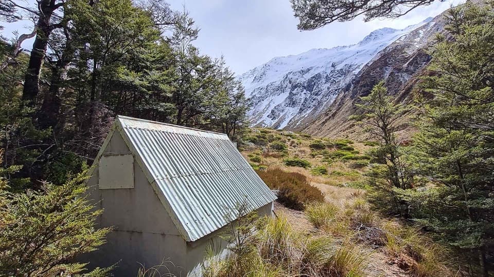 Lodging · 9.8 km awayBurn Creek HutA two-bunk alpine bivouac for experienced, self-reliant trampers.
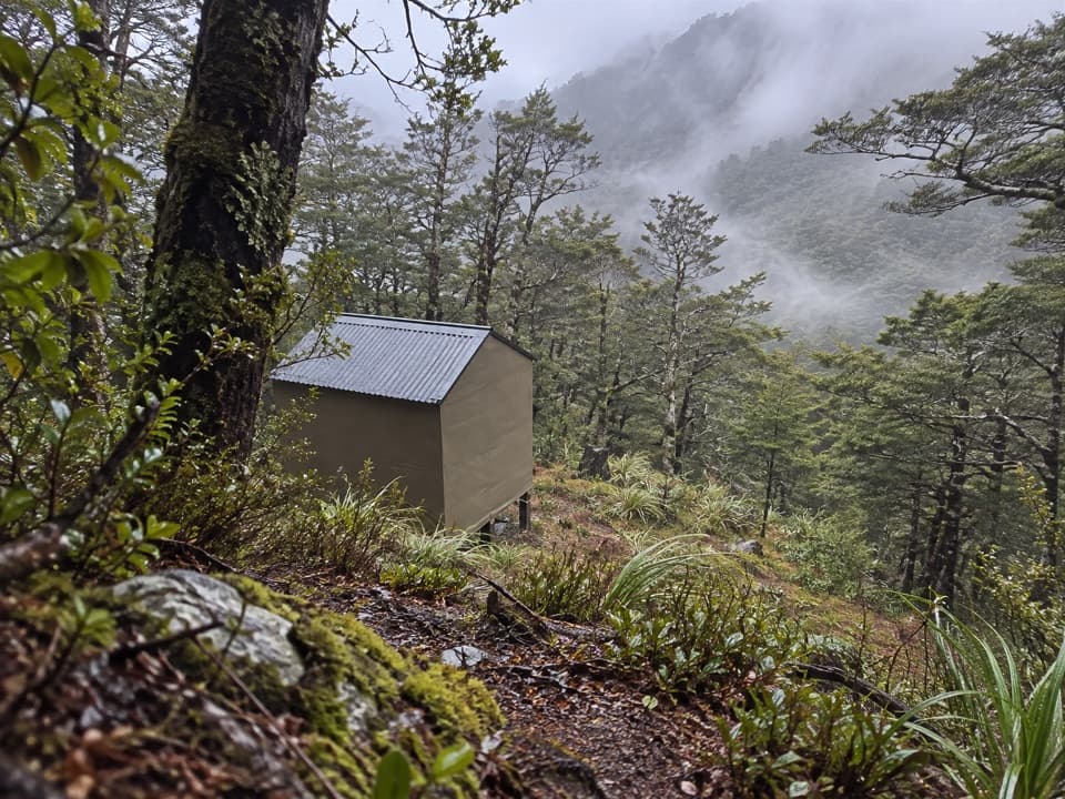 Lodging · 10.2 km awayUpper D'Urville HutTwo bunks in the bush, with an avalanche story in its past.
 Lodging · 15 km awayNardoo HutTwo bunks beside alpine tarns, after a full-day tramp.
 Sight · 15.1 km awayRotopōhueroa / Lake ConstanceTurquoise water beneath Waiau Pass, reached on a backcountry tramp.
Parkwolf’s Nelson Lakes ranking

The audio tour guide for the drive, plus offline maps, trails, and wildlife heatmaps for when the signal drops.





