Mole Hut in Nelson Lakes National Park

Lodging · Nelson Lakes National Park

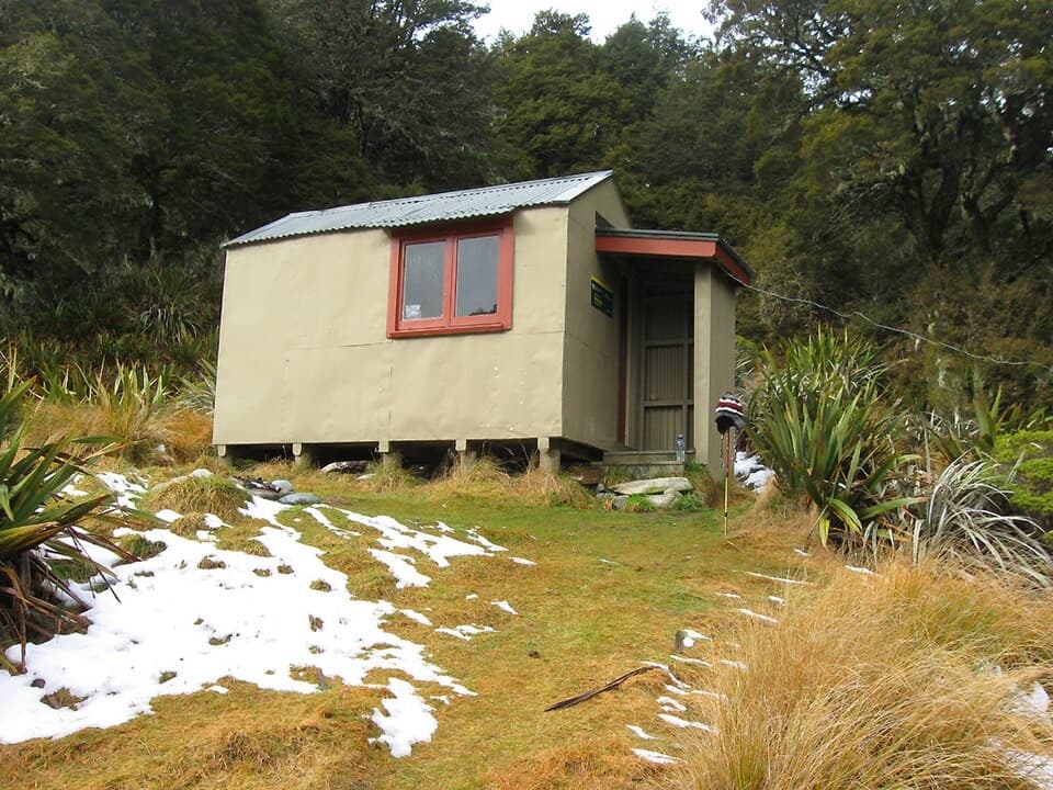
Mole Hut

Four bunks put you within reach of a tarn-dotted ridge.

Photo: Wikimedia Commons

Overview

About Mole Hut

Why stop

  • A base close to the tarn-studded Mole Tops.

Heads up

  • No drinking water or fireplace, so bring what an overnight stay needs.

Map

Where it is

Loading the Nelson Lakes map
Full map
LodgingMole Hut-41.96160, 172.57172
Keep this map with you offline in the Parkwolf app

Plan your stop

Before you go

3 active Nelson Lakes alerts

  • ClosureRotoroa Route permanently closedThe Rotoroa Route is permanently closed along the eastern side of Lake Rotoroa between Rotoroa village and Sabine Hut.Official details
  • CautionUnbridged stream between Sabine and D’Urville hutsThe bridge on the track between Sabine Hut and D’Urville Hut has been removed; trampers must cross an unbridged stream at GR E1571366 N5359831.Official details

See all 3 alerts
A park ranger sits on a dash-mounted phone, talking, as Parkwolf’s Tour Guide plays “Army Cutworm Moths: A Grizzly Bear Buffet” on Grand Loop Road below Dunraven Pass in Yellowstone
Parkwolf Tour GuideThe highest, rockiest slopes around here are a summer buffet for grizzly bears.

Nelson Lakes Tour Guide

Your drive to Mole Hut, narrated.

Parkwolf is a GPS audio tour guide for Nelson Lakes National Park. As you drive, it chimes in with what’s ahead: hidden gems, upcoming stops, history, geology, and wildlife, right through your car’s speakers.

  • 26 audio storiesacross Nelson Lakes’s roads, triggered by GPS as you drive
  • Wildlife heatmapsfor New Zealand Falcon, Weka, Kererū, and 13 more
  • Works offlinemaps, 57 trails, 47 places, and audio download before you lose signal
  • CarPlay readysimple controls built for the drive
★★★★★
“Fantastic app with many points of information… It’s great to just turn on while you’re driving and it gives you an audio tour of the national Park. We love it!!!!”
JMJamesApp Store review
Download Parkwolf on the App StoreGet Parkwolf on Google Play

4.7 from 8,600+ ratings

Guide

More about Mole Hut

A remote four-bunk baseMole Hut is a standard backcountry hut at 1,160 m in the headwaters of Mole Creek, near Mole…

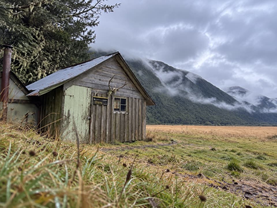
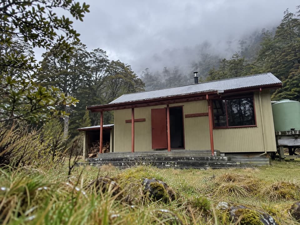
Mole Hut is a standard backcountry hut at 1,160 m in the headwaters of Mole Creek, near Mole Saddle, on the forest edge above Mole Stream. It is an overnight tramping destination, not a quick roadside stop, and a base for exploring the high country around Mole Tops. The hut has four bunks and a pit toilet, but no drinking-water supply or fireplace. Bring your food, water and warm gear; DOC hut tickets or a Backcountry Hut Pass are needed for an overnight stay.

The two ways inThe signposted car park is beside Mole Stream near Mataki Lodge, on Tutaki Road South about 35…

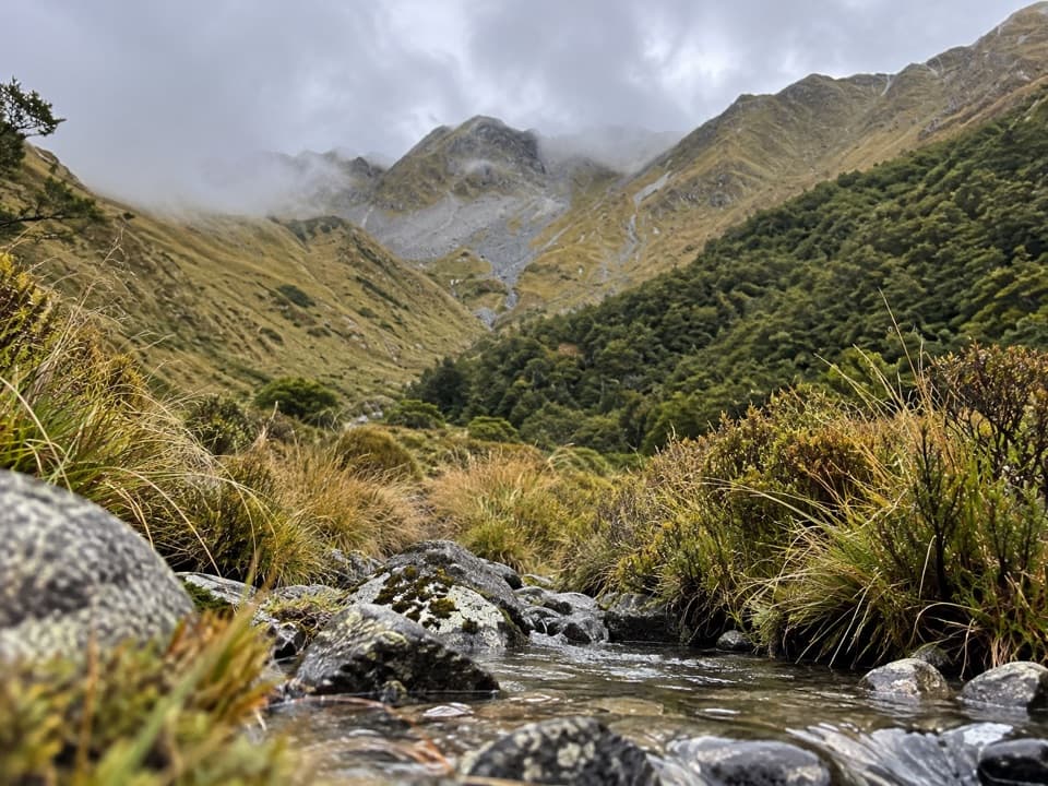
The signposted car park is beside Mole Stream near Mataki Lodge, on Tutaki Road South about 35 km from Murchison. Jameson Ridge Track starts farther up the road, crosses a stile at the farmland edge, then climbs through beech forest before opening onto tussock. The Mole Stream route stays lower and follows the creek, with rough boulder crossings. Each approach is estimated at about three hours; linking the two makes a 15.4 km circuit with roughly 700 m of total ascent. Treat those as planning estimates and check current track information before setting out.

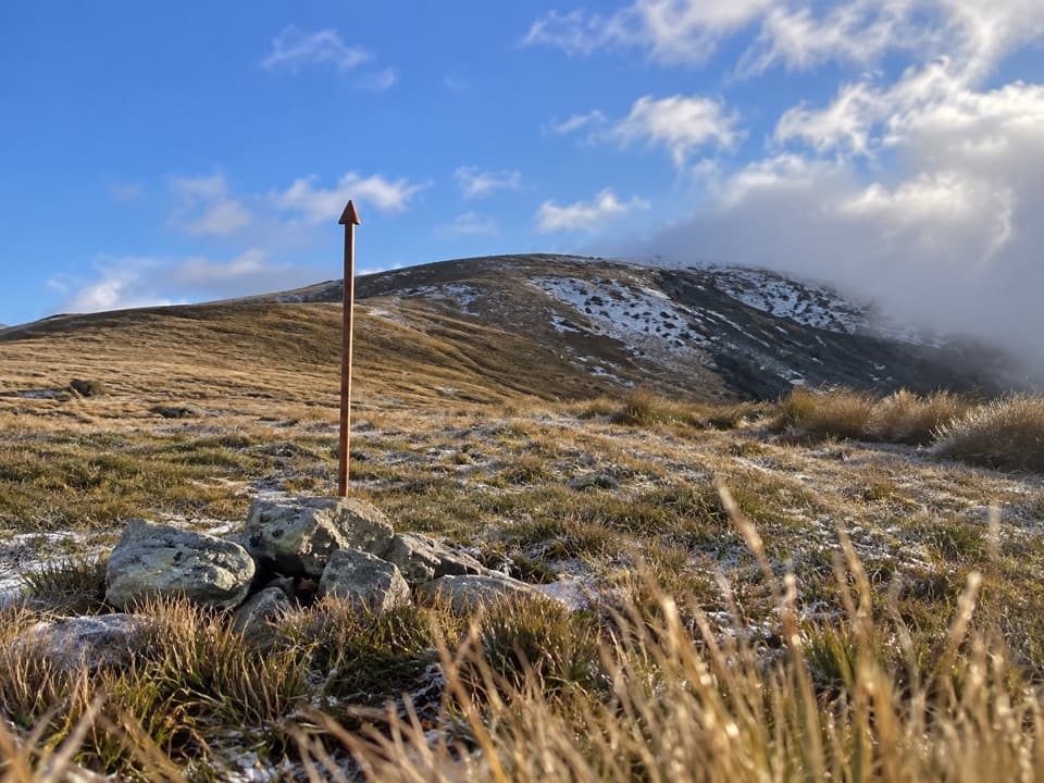
Above Mole SaddleFrom the hut, a poled route crosses red tussock to Mole Saddle.

From the hut, a poled route crosses red tussock to Mole Saddle. An unmarked foot trail then climbs steeply to Mole Tops at 1,651 m. The ridge is dotted with tarns; a higher rocky point at 1,770 m opens broader views across the Nelson Lakes mountains toward the Victoria Range and Mt Owen. This is extra walking beyond the hut, and the upper spur is unmarked.

A worked high-country landscapeThe open tops were farmed in the past, and some of the open country has been burned.

The open tops were farmed in the past, and some of the open country has been burned. Kārearea, or New Zealand falcons, have been reported nesting in the area, though a sighting is never guaranteed.

Wildlife

Wildlife in Nelson Lakes

All Nelson Lakes wildlife maps

Sighting maps show where each species has been reported across Nelson Lakes. Wildlife moves, so no sighting is guaranteed.

Parkwolf’s Nelson Lakes ranking

Top sights in Nelson Lakes

All 47 places
  1. 1Lake Rotoiti – Kerr Bay and JettySight
  2. 2Rotomairewhenua / Blue LakeSight
  3. 3Lake Rotoroa – Foreshore and JettySight
  4. 4Rotomaninitua / Lake AngelusSight
  5. 5Rotopōhueroa / Lake ConstanceSight
  6. 6Whisky FallsSight

Take Parkwolf to Nelson Lakes.

The audio tour guide for the drive, plus offline maps, trails, and wildlife heatmaps for when the signal drops.

4.7 from 8,600+ ratings

Download Parkwolf on the App StoreGet Parkwolf on Google Play