Parking
A signed car park is beside Mole Stream near Mataki Lodge, off Tutaki Road South. Follow the orange markers across farmland toward the forest.
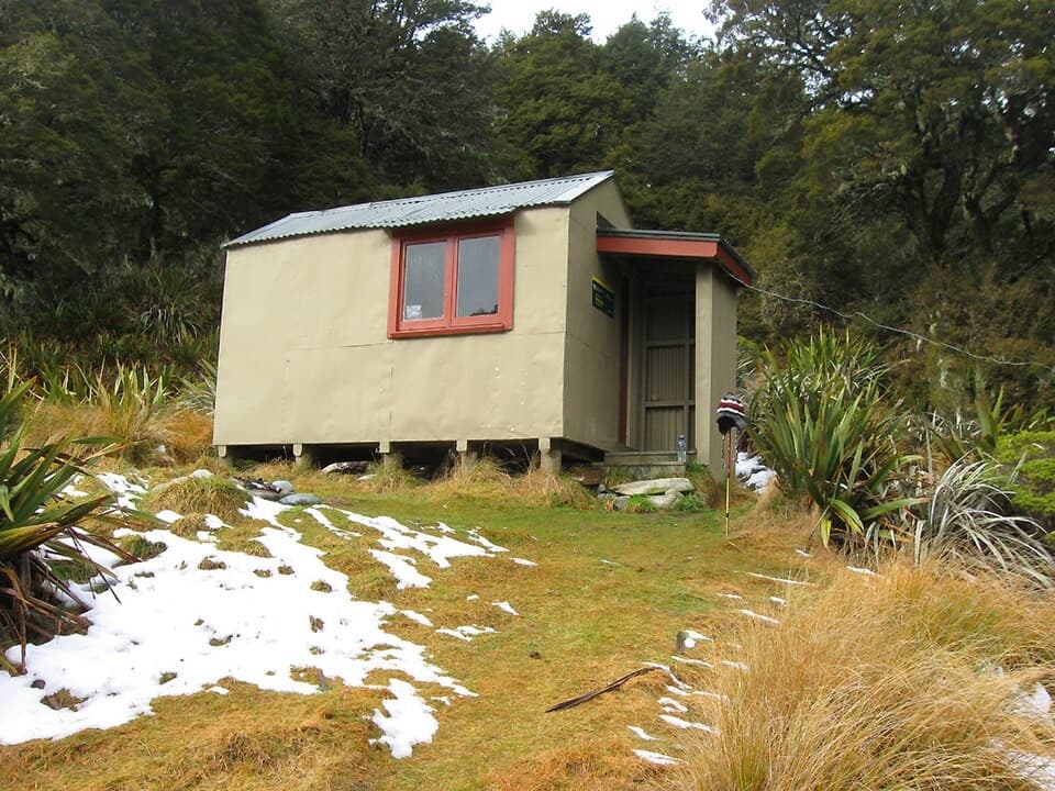
Nelson Lakes National Park, TM
A rough riverside approach to Mole Hut at the bush edge.
Overview
Map & elevation
Plan your hike

The highest, rockiest slopes around here are a summer buffet for grizzly bears.
Nelson Lakes Tour Guide
Parkwolf is a GPS audio tour guide for Nelson Lakes National Park. As you drive, it chimes in with what’s ahead: hidden gems, upcoming stops, history, geology, and wildlife, right through your car’s speakers.
“Fantastic app with many points of information… It’s great to just turn on while you’re driving and it gives you an audio tour of the national Park. We love it!!!!”


Trail guide
Mole Track via Mole Stream is an out-and-back to Mole Hut, a four-bunk hut at 1,160 m near the bush edge. The mapped line is about 6.8 km each way; retrace it for a 13.5 km return (8.4 miles). Allow roughly 6–8 hours for the walk and time at the hut. The stream approach is rougher and more open than the forested Jameson Ridge alternative. A longer 15.4 km itinerary uses both approaches as a circuit; that distance does not describe this out-and-back.
Use the signed car park beside Mole Stream near Mataki Lodge on Tutaki Road South. From the road end, orange markers lead across farmland toward the forest and stream. The markers can be easy to miss at the paddock edge, so confirm the route before leaving the clear farm track. This is the Mole Stream approach; Jameson Ridge is a separate route to the same hut.
The track follows close to Mole Stream. Its standout section is a broad boulder channel, with fallen timber and steep scoured sides while a smaller stream threads between the rocks. Expect slow, uneven footing and a couple of reported slips, including a muddy one. The more open river corridor is the reason to choose this route; Jameson Ridge offers a shadier climb through beech forest.
Mole Hut is a standard four-bunk hut at 1,160 m. It is first come, with no booking required. If you stay overnight, hut tickets or an eligible Backcountry Hut Pass are required. Mole Tops is a separate continuation beyond the hut; it is not part of the route or distance here.
This is a backcountry track with a less obvious farm-to-forest transition and rough stream-side ground. DOC warns that heavy rain can flood rivers in this area. Dogs are not allowed on the route.
Wildlife
 20 sightingsNew Zealand FalconMost seen around 9 AMSighting map
 39 sightingsWekaMost seen around 7 AMSighting map
 11 sightingsKererūMost seen around 9 AMSighting map
 55 sightingsBlack SwanMost seen around 8 AMSighting map
 23 sightingsParadise ShelduckMost seen around 6 AMSighting map
 17 sightingsTūīMost seen around 7 AMSighting map
Sighting maps show where each species has been reported across Nelson Lakes. Wildlife moves, so no sighting is guaranteed.
Keep exploring
 ModerateMole–Jamieson Loop15.4 km · 6.5 hr · At the trailheadA creek-and-ridge circuit to open views at Mole Saddle.ChallengingJameson Ridge Track13.8 km · 5.5 hr · 0.2 km awayA forest climb to an open ridge above Mole Stream.
 ChallengingNardoo Creek Route19 km · 7.5 hr · 2.8 km awayA remote creek approach to a two-bunk hut beneath Emily Peaks.
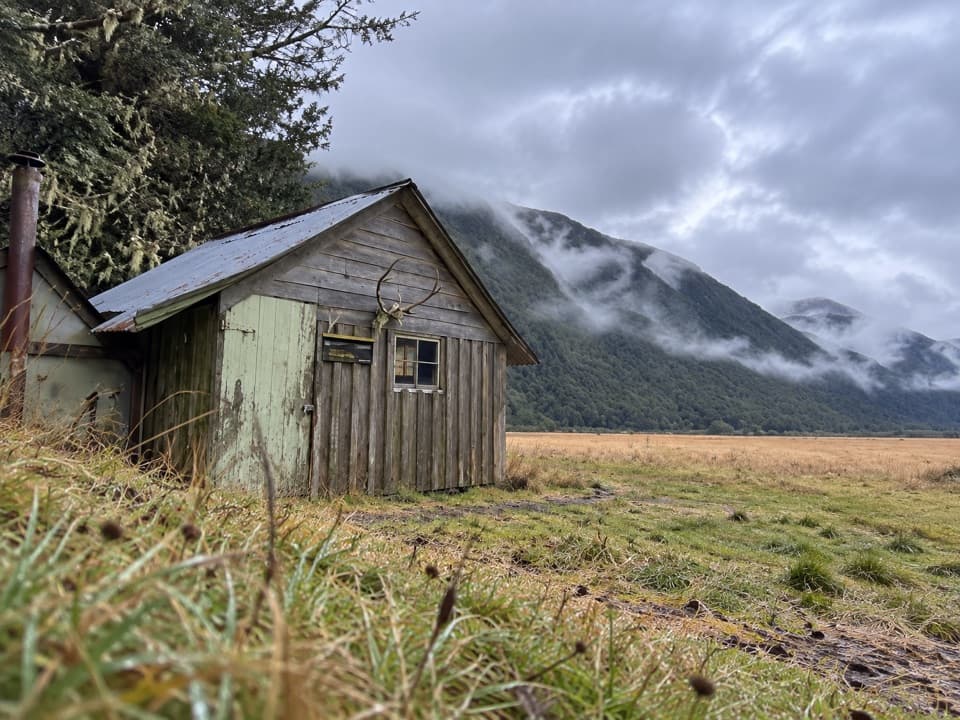 ChallengingDownies Hut Track18.6 km · 6 hr · 3.2 km awayOne-way valley walk to a tiny pit-sawn historic hut.
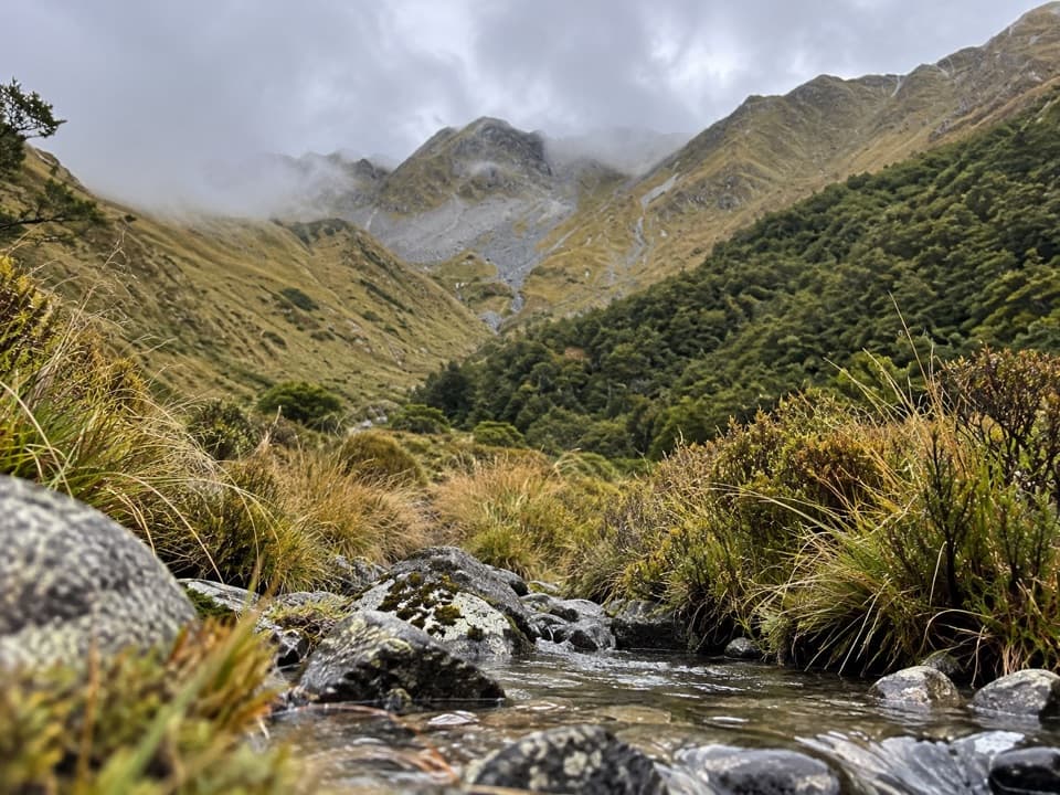 ChallengingWatson Creek Route10 km · 9 hr · 5.1 km awayA steep creek climb into the Ella Range bushline
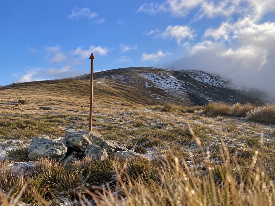 ChallengingMole Saddle–Tiraumea Track5.8 km · 4 hr · 6 km awayAn undulating ridge walk down to a backcountry hut.
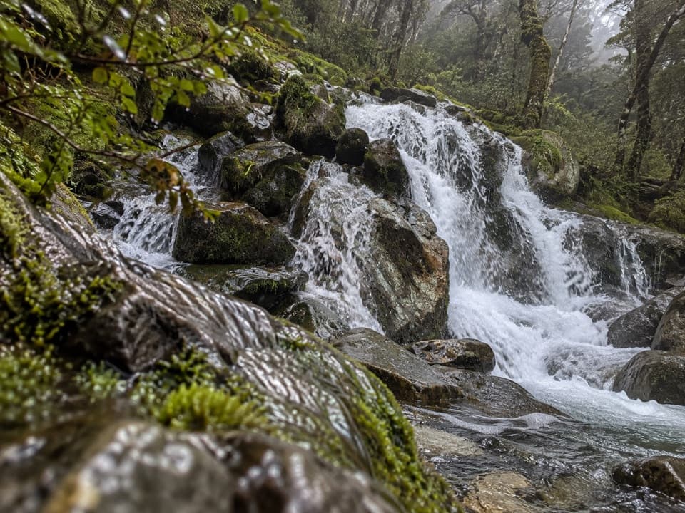 ChallengingMcKellar Stream Route4.9 km · 3.8 hr · 13 km awayA rough, remote descent from the Ella Range into Matakitaki Valley
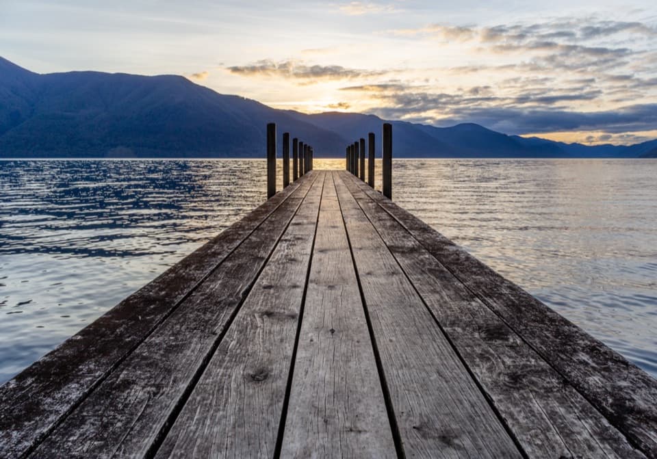 ModerateD’Urville–Sabine Track7.9 km · 2 hr · 13.1 km awayA remote 4.9-mile hut link with a serious stream crossing.Lodging · 4.9 km awayMole HutFour bunks put you within reach of a tarn-dotted ridge.
 Lodging · 8.9 km awayTiraumea HutA six-bunk hut for a remote, river-crossing backcountry trip.
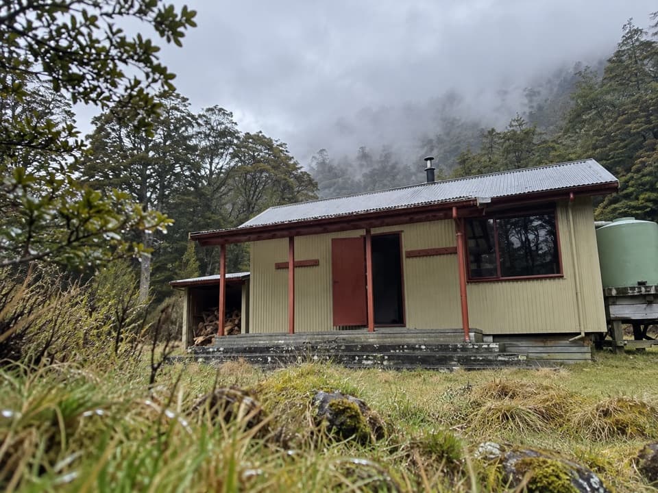 Lodging · 9.8 km awayMorgan HutAn overnight stop between two four-hour legs in the D’Urville Valley.
 Lodging · 11.4 km awayGeorge Lyon HutA 16-bunk backcountry refuge deep in the D’Urville Valley.
 Lodging · 13.1 km awayD'Urville HutA 10-bunk lakeside hut with a jetty for boats and kayaks.
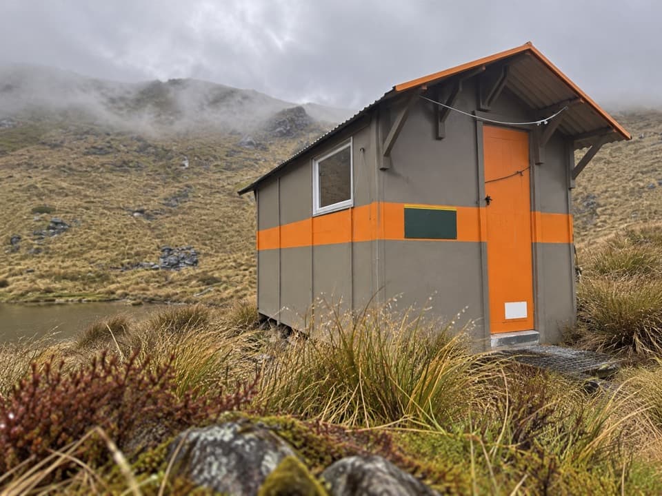 Lodging · 13.6 km awayMount Misery HutA three-bunk hut high on the ridge, with wide range views.
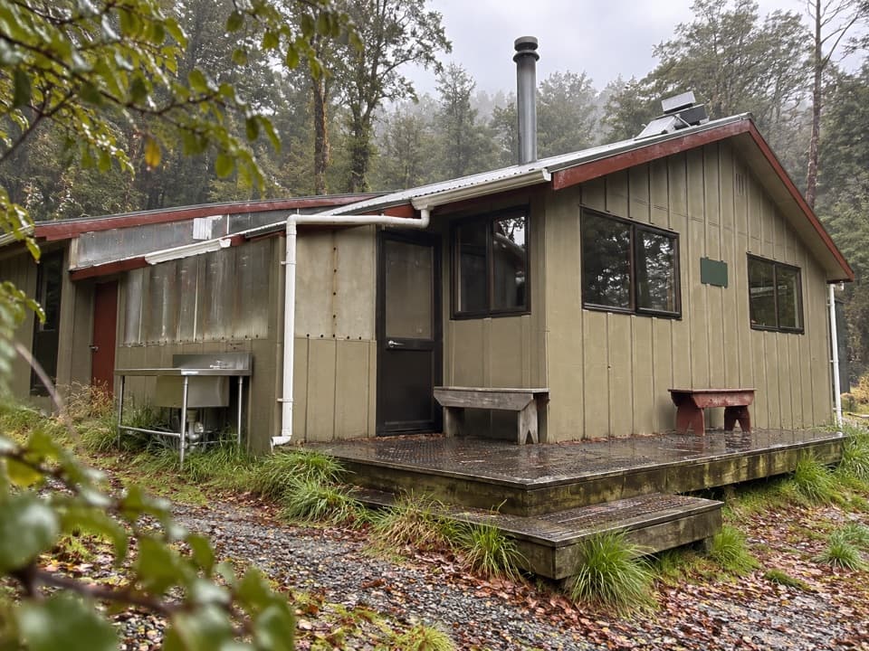 Lodging · 14.7 km awayWest Sabine HutA warm, 30-bunk stop on the high Travers–Sabine Circuit
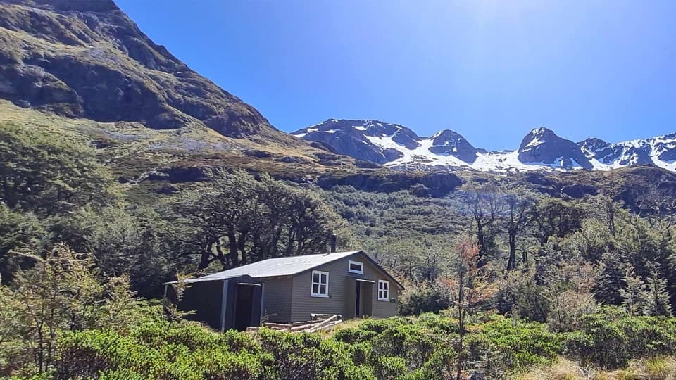 Lodging · 15.2 km awayBlue Lake HutA booked hut gives you time near the famously clear lake.
Parkwolf’s Nelson Lakes ranking

The audio tour guide for the drive, plus offline maps, trails, and wildlife heatmaps for when the signal drops.





