Parking
Use the Mt Ella Station access parking area opposite the cowshed, beside the DOC orientation panel. Follow orange markers and replace electric-tape gates as found. Confirm current station access instructions before leaving.
Nelson Lakes National Park, TM
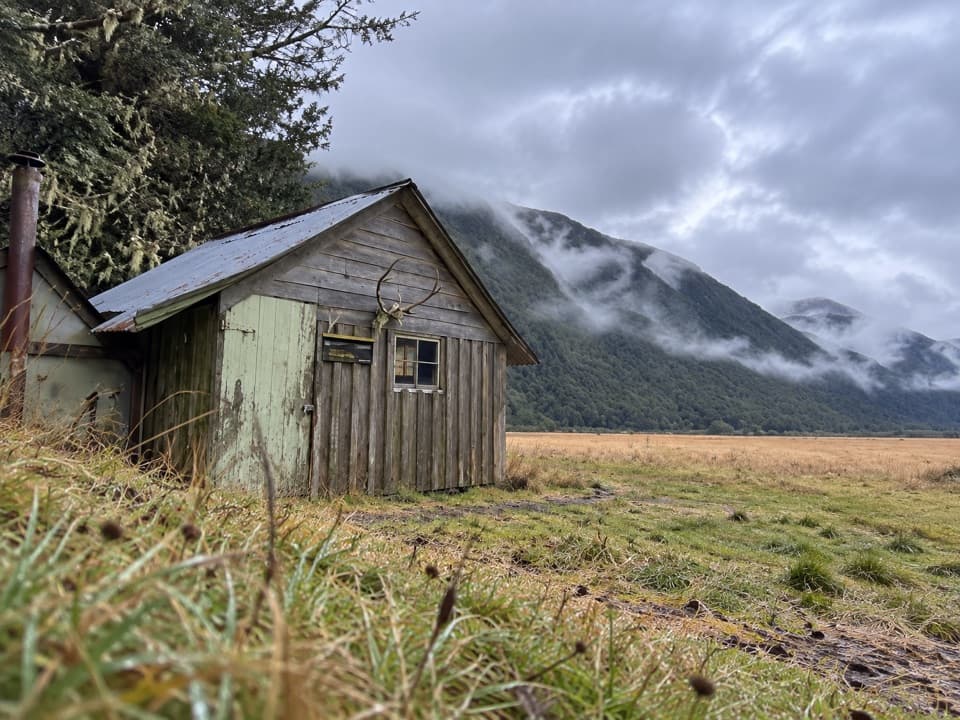
One-way valley walk to a tiny pit-sawn historic hut.
Overview
Map & elevation
Plan your hike

The highest, rockiest slopes around here are a summer buffet for grizzly bears.
Nelson Lakes Tour Guide
Parkwolf is a GPS audio tour guide for Nelson Lakes National Park. As you drive, it chimes in with what’s ahead: hidden gems, upcoming stops, history, geology, and wildlife, right through your car’s speakers.
“Fantastic app with many points of information… It’s great to just turn on while you’re driving and it gives you an audio tour of the national Park. We love it!!!!”


Trail guide
Downies Hut Track is a point-to-point backcountry walk from Mt Ella Station to Downies Hut. The mapped one-way line is 11.5 miles (18.6 km), with about six hours of walking. Route descriptions put the station-to-hut leg at roughly 17–18.6 km and 4.5–6 hours; this map includes the station access and follows the longer measured line. Walking back the same way makes it about 23 miles (37 km) and a very long day, so many visitors treat it as an overnight approach or part of a longer valley route.
The route follows an old valley track through beech forest and open river flats rather than climbing to a high ridge. The low-gradient setting can be misleading: it is a long, remote walk, and reports describe boggy stretches and rough footing. Allow the slower end of the published time range, especially if the ground is wet. Follow the marked station approach rather than improvising a shortcut across the river flats.
DOC directs walkers to enter through Mt Ella Station, park opposite the cowshed, follow orange markers and replace any electric-tape gates they pass. Access notes also report signs that may prohibit entry, so confirm the current arrangement with DOC or the landholder and respect posted restrictions before setting out. The Matakitaki River changes channel and can become unsafe after heavy rain. Do not assume that any river crossing is required or safe; check the marked route and river conditions before committing.
Downies Hut sits at about 530 m on a grassy flat by the beech forest edge beneath the Ella Range. It has four bunks, is free and does not take bookings; beds are first come, first served, so do not rely on finding space. Its construction date is unknown, though graffiti inside dates to 1902. Local accounts differ on whether gold miner Charles Downie built it as a base or station runholder William Hunter built it as a musterers’ hut. The small single-room hut is clad in pit-sawn beech boards, with a corrugated-iron roof over its older structure.
Wildlife
 20 sightingsNew Zealand FalconMost seen around 9 AMSighting map
 39 sightingsWekaMost seen around 7 AMSighting map
 11 sightingsKererūMost seen around 9 AMSighting map
 55 sightingsBlack SwanMost seen around 8 AMSighting map
 23 sightingsParadise ShelduckMost seen around 6 AMSighting map
 17 sightingsTūīMost seen around 7 AMSighting map
Sighting maps show where each species has been reported across Nelson Lakes. Wildlife moves, so no sighting is guaranteed.
Keep exploring
 ChallengingNardoo Creek Route19 km · 7.5 hr · 0.6 km awayA remote creek approach to a two-bunk hut beneath Emily Peaks.
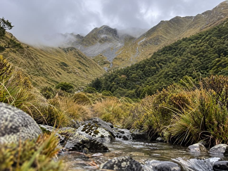 ChallengingWatson Creek Route10 km · 9 hr · 2.7 km awayA steep creek climb into the Ella Range bushline
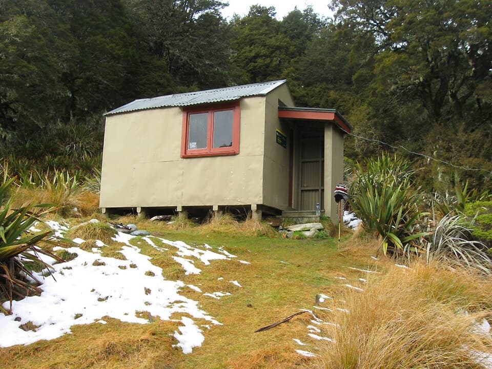 ModerateMole Stream Track to Mole Hut13.5 km · 6.5 hr · 3.2 km awayA rough riverside approach to Mole Hut at the bush edge.
 ModerateMole–Jamieson Loop15.4 km · 6.5 hr · 3.2 km awayA creek-and-ridge circuit to open views at Mole Saddle.ChallengingJameson Ridge Track13.8 km · 5.5 hr · 3.4 km awayA forest climb to an open ridge above Mole Stream.
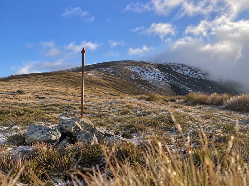 ChallengingMole Saddle–Tiraumea Track5.8 km · 4 hr · 8.5 km awayAn undulating ridge walk down to a backcountry hut.
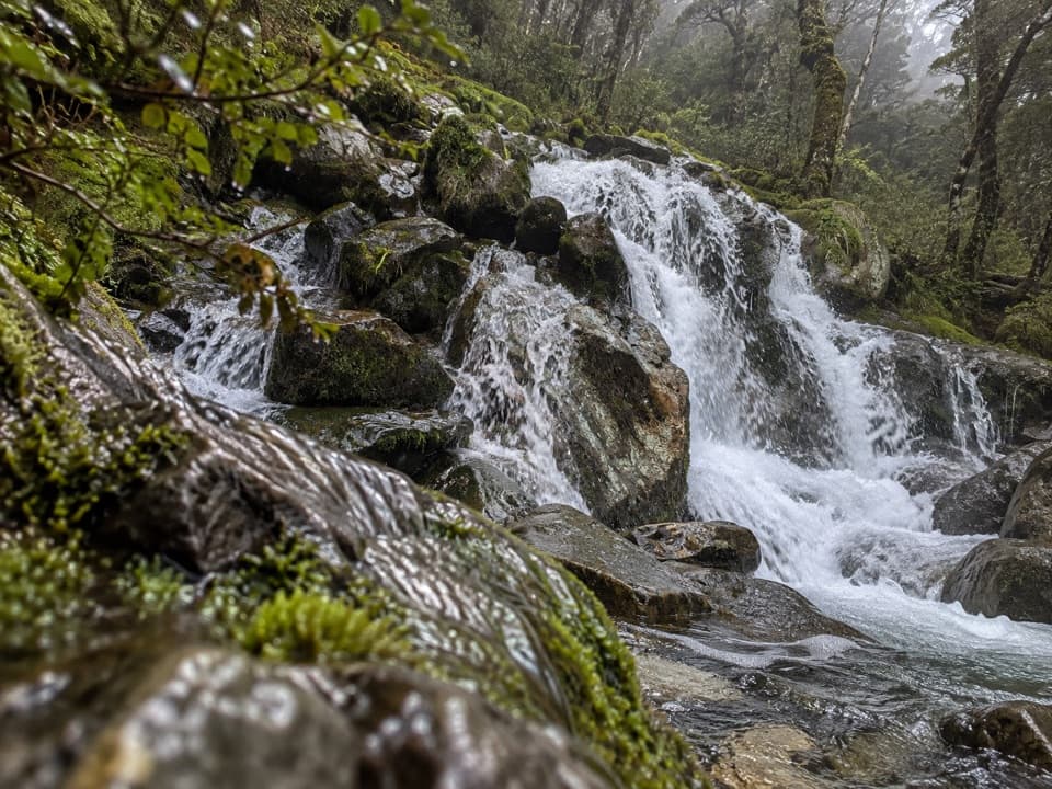 ChallengingMcKellar Stream Route4.9 km · 3.8 hr · 10.8 km awayA rough, remote descent from the Ella Range into Matakitaki Valley
 ChallengingRotopōhueroa/Lake Constance Track5.6 km · 5 hr · 14.6 km awayA steep moraine climb to a sacred alpine lake.Lodging · 7.2 km awayMole HutFour bunks put you within reach of a tarn-dotted ridge.
 Lodging · 10.5 km awayGeorge Lyon HutA 16-bunk backcountry refuge deep in the D’Urville Valley.
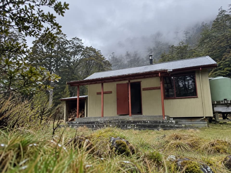 Lodging · 11.1 km awayMorgan HutAn overnight stop between two four-hour legs in the D’Urville Valley.
 Lodging · 12.1 km awayTiraumea HutA six-bunk hut for a remote, river-crossing backcountry trip.
 Lodging · 12.5 km awayNardoo HutTwo bunks beside alpine tarns, after a full-day tramp.
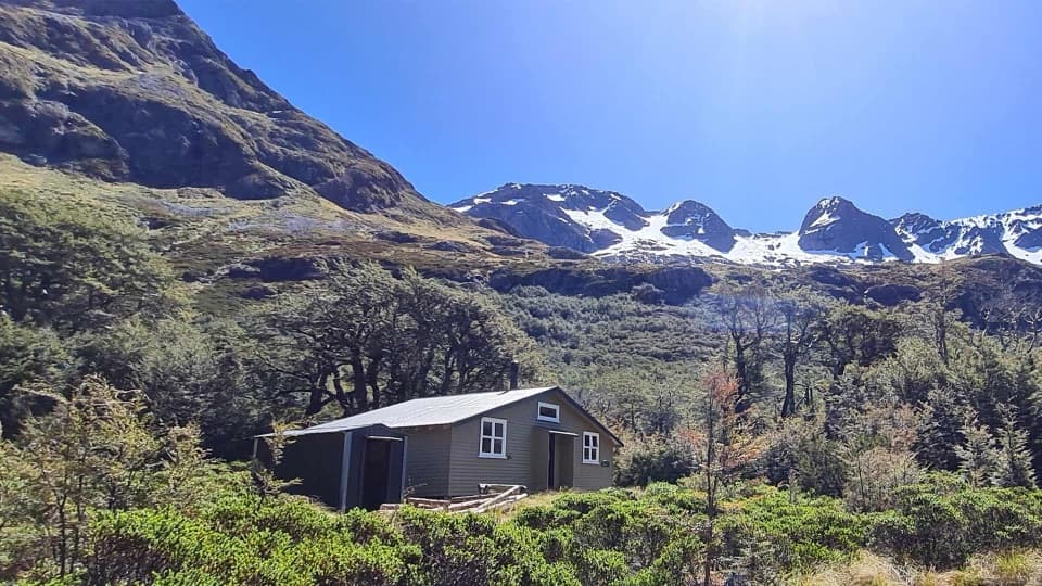 Lodging · 14.6 km awayBlue Lake HutA booked hut gives you time near the famously clear lake.
 Sight · 14.7 km awayRotomairewhenua / Blue LakeAn exceptionally clear alpine lake reached on a multi-day tramp.
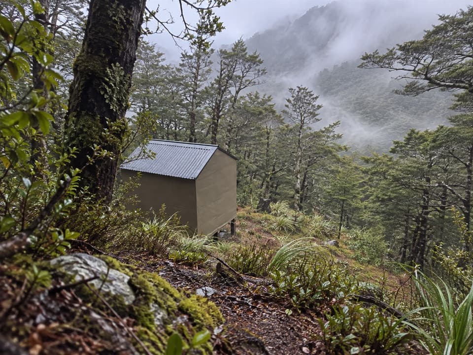 Lodging · 15.3 km awayUpper D'Urville HutTwo bunks in the bush, with an avalanche story in its past.
Parkwolf’s Nelson Lakes ranking

The audio tour guide for the drive, plus offline maps, trails, and wildlife heatmaps for when the signal drops.




