Parking
From SH6 at Longford, take Mangles Valley Road, then Tutaki Road South and Mole Road. At the sharp right bend, use the small farm road on the left and follow it 700 m to the car park opposite the Mt Ella Station cowshed.

Nelson Lakes National Park, TM
A remote creek approach to a two-bunk hut beneath Emily Peaks.
Overview
Map & elevation
Plan your hike

The highest, rockiest slopes around here are a summer buffet for grizzly bears.
Nelson Lakes Tour Guide
Parkwolf is a GPS audio tour guide for Nelson Lakes National Park. As you drive, it chimes in with what’s ahead: hidden gems, upcoming stops, history, geology, and wildlife, right through your car’s speakers.
“Fantastic app with many points of information… It’s great to just turn on while you’re driving and it gives you an audio tour of the national Park. We love it!!!!”


Trail guide
Nardoo Creek Route is an expert, 19 km one-way hike from the Matakitaki car park to Nardoo Hut in the Emily Peaks basin. Allow 7–8 hours to reach the hut. This is a remote backcountry route with repeated river crossings and rough creekbed travel, so it demands route-finding as well as fitness. Walking back out the same way makes the trip about 38 km; most trampers should plan around an overnight at the hut and be comfortable navigating marked routes through rugged terrain.
From the car park, head toward the hops-farm buildings; the marked track begins about 3 km in and follows the Matakitaki River's right bank when facing downstream. At the Watson Creek junction, cross the Matakitaki to continue on the opposite bank. The route follows the foot of a steep hill to a small saddle on a benched track, then drops into Nardoo Creek. It dips in and out of the creekbed before following the creek itself.
Expect multiple unbridged crossings. One stretch of the riverbed is impassable, so follow the marked higher bypass near the bend where the creek turns southwest rather than south. Beyond it, the route climbs in and out of the creek for another 2.5 km to the bushline, then gains about 100 m through tussock. Look south for the hut on the bush edge. Do not cross if the water is high, you cannot identify safe entry and exit points, or you are unsure; severe weather is possible in any season.
Nardoo Hut is a basic two-bunk shelter at about 1,405 m beside a tarn, with the Emily Peaks rising around the basin. It dates to 1965. The hut is free and unbookable, with first-come, first-served bunks; water is from a stream. Bring your food and be prepared for a basic remote stay. From the final tussock rise, look south and frame the hut against the bush edge and surrounding basin.
The access crosses Mt Ella Station leasehold land: stay on the marked public route and replace the electric-tape gates. From SH6 at Longford, follow Mangles Valley Road, Tutaki Road South and then Mole Road. At a sharp right bend, take the farm road on the left and continue 700 m to the car park opposite the cowshed. There is no regular public transport nearby. Dogs are not allowed.
Wildlife
 20 sightingsNew Zealand FalconMost seen around 9 AMSighting map
 39 sightingsWekaMost seen around 7 AMSighting map
 11 sightingsKererūMost seen around 9 AMSighting map
 55 sightingsBlack SwanMost seen around 8 AMSighting map
 23 sightingsParadise ShelduckMost seen around 6 AMSighting map
 17 sightingsTūīMost seen around 7 AMSighting map
Sighting maps show where each species has been reported across Nelson Lakes. Wildlife moves, so no sighting is guaranteed.
Keep exploring
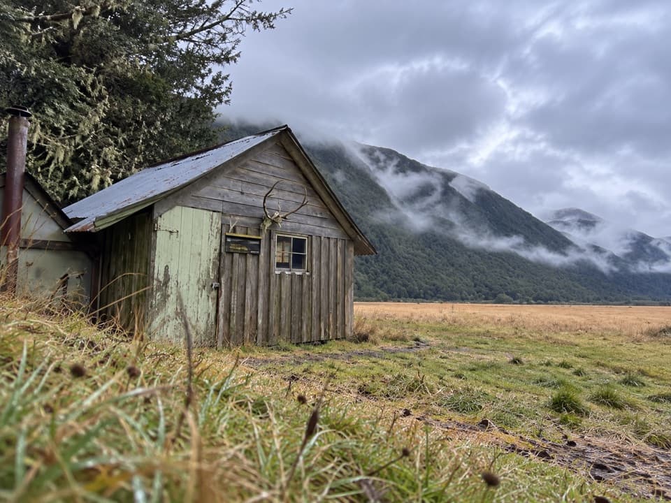 ChallengingDownies Hut Track18.6 km · 6 hr · 0.6 km awayOne-way valley walk to a tiny pit-sawn historic hut.
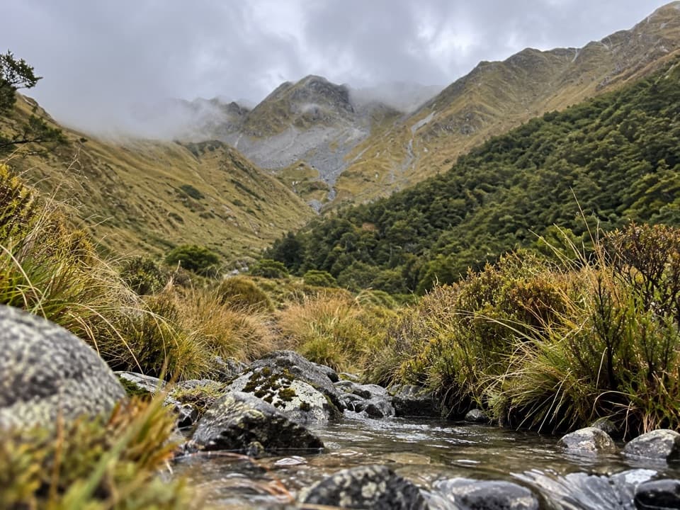 ChallengingWatson Creek Route10 km · 9 hr · 2.7 km awayA steep creek climb into the Ella Range bushline
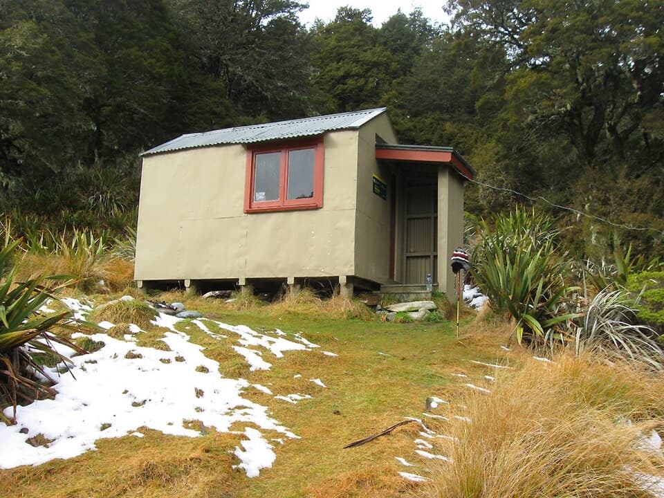 ModerateMole Stream Track to Mole Hut13.5 km · 6.5 hr · 2.8 km awayA rough riverside approach to Mole Hut at the bush edge.
 ModerateMole–Jamieson Loop15.4 km · 6.5 hr · 2.8 km awayA creek-and-ridge circuit to open views at Mole Saddle.ChallengingJameson Ridge Track13.8 km · 5.5 hr · 3 km awayA forest climb to an open ridge above Mole Stream.
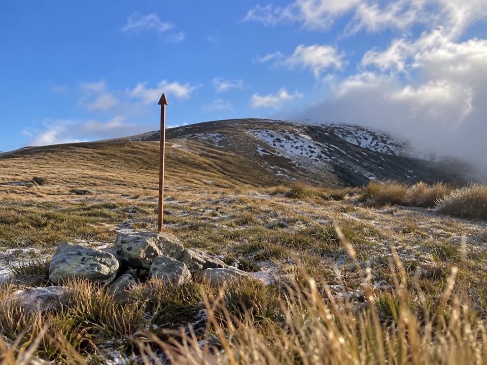 ChallengingMole Saddle–Tiraumea Track5.8 km · 4 hr · 7.9 km awayAn undulating ridge walk down to a backcountry hut.
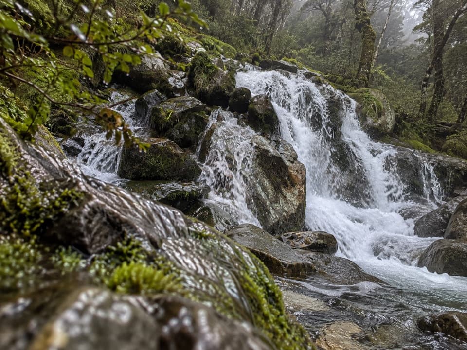 ChallengingMcKellar Stream Route4.9 km · 3.8 hr · 10.8 km awayA rough, remote descent from the Ella Range into Matakitaki Valley
 ChallengingRotopōhueroa/Lake Constance Track5.6 km · 5 hr · 14.3 km awayA steep moraine climb to a sacred alpine lake.Lodging · 6.6 km awayMole HutFour bunks put you within reach of a tarn-dotted ridge.
 Lodging · 10.2 km awayGeorge Lyon HutA 16-bunk backcountry refuge deep in the D’Urville Valley.
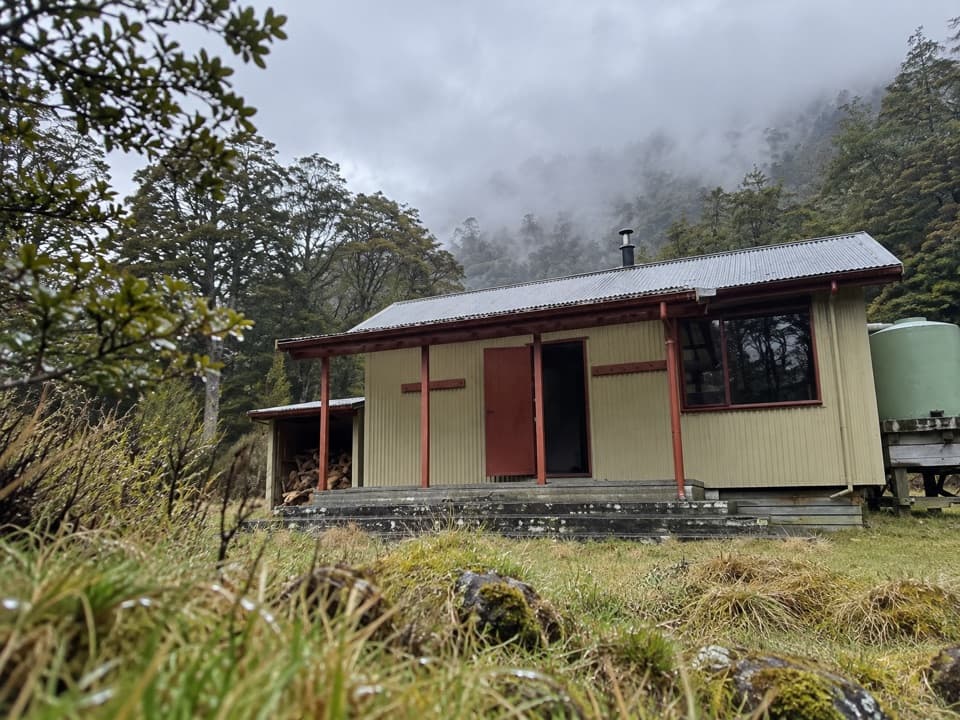 Lodging · 10.5 km awayMorgan HutAn overnight stop between two four-hour legs in the D’Urville Valley.
 Lodging · 11.6 km awayTiraumea HutA six-bunk hut for a remote, river-crossing backcountry trip.
 Lodging · 13 km awayNardoo HutTwo bunks beside alpine tarns, after a full-day tramp.
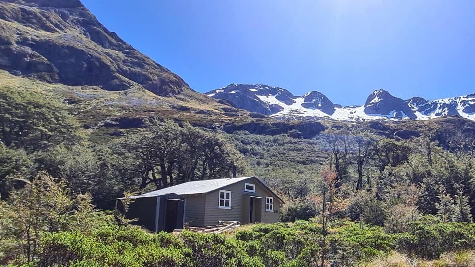 Lodging · 14.3 km awayBlue Lake HutA booked hut gives you time near the famously clear lake.
 Sight · 14.4 km awayRotomairewhenua / Blue LakeAn exceptionally clear alpine lake reached on a multi-day tramp.
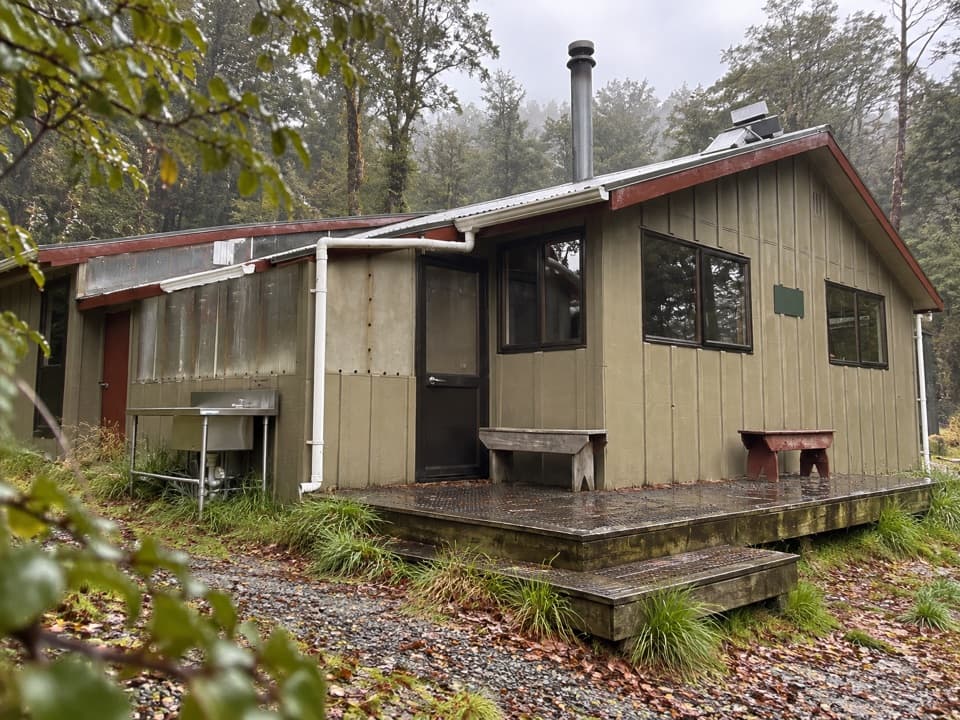 Lodging · 14.9 km awayWest Sabine HutA warm, 30-bunk stop on the high Travers–Sabine Circuit
Parkwolf’s Nelson Lakes ranking

The audio tour guide for the drive, plus offline maps, trails, and wildlife heatmaps for when the signal drops.




