Mole Saddle–Tiraumea Track in Nelson Lakes National Park

Nelson Lakes National Park, TM

Mole Saddle–Tiraumea Track

An undulating ridge walk down to a backcountry hut.

Length
5.8km
Time
4hr
Elev. change
796m
Difficulty
Challenging
  • No dogs
  • High point 1,319 m
Parkwolf audio tour26 stories across Nelson Lakes’s roads

Overview

About Mole Saddle–Tiraumea Track

Why go

  • A distinctive ridge traverse with an overnight hut at the far end.

Heads up

  • The saddle takes hours of backcountry walking to reach.
  • Older markers and repeated rises can make progress slower than the map suggests.

Map & elevation

The route

Loading the Nelson Lakes map
Full map
Elevation523–1,319 m
TrailheadMole Saddle bushline start-41.95285, 172.58211
Keep this map with you offline in the Parkwolf app

Plan your hike

Before you go

Parking

There is no road access at Mole Saddle. The signposted Mole Stream parking beside Mataki Lodge serves as a backcountry access point; reach Mole Hut and continue to the saddle on the approach tracks. The approach to Mole Hut takes about 3–4 hours and is not included in this route’s 3.6-mile length. Parking size and fees were not found.

Safety

Remote, high-country terrain with repeated rises and a steep descent. Older red-and-white markers may be hard to see; bring reliable navigation. Dogs and other domestic animals are prohibited in Nelson Lakes National Park.

3 active Nelson Lakes alerts

  • ClosureRotoroa Route permanently closedThe Rotoroa Route is permanently closed along the eastern side of Lake Rotoroa between Rotoroa village and Sabine Hut.Official details
  • CautionUnbridged stream between Sabine and D’Urville hutsThe bridge on the track between Sabine Hut and D’Urville Hut has been removed; trampers must cross an unbridged stream at GR E1571366 N5359831.Official details
See all 3 alerts
A park ranger sits on a dash-mounted phone, talking, as Parkwolf’s Tour Guide plays “Army Cutworm Moths: A Grizzly Bear Buffet” on Grand Loop Road below Dunraven Pass in Yellowstone
Parkwolf Tour GuideThe highest, rockiest slopes around here are a summer buffet for grizzly bears.

Nelson Lakes Tour Guide

Your drive to Mole Saddle–Tiraumea Track, narrated.

Parkwolf is a GPS audio tour guide for Nelson Lakes National Park. As you drive, it chimes in with what’s ahead: hidden gems, upcoming stops, history, geology, and wildlife, right through your car’s speakers.

  • 26 audio storiesacross Nelson Lakes’s roads, triggered by GPS as you drive
  • Wildlife heatmapsfor New Zealand Falcon, Weka, Kererū, and 13 more
  • Works offlinemaps, 57 trails, 47 places, and audio download before you lose signal
  • CarPlay readysimple controls built for the drive
★★★★★
“Fantastic app with many points of information… It’s great to just turn on while you’re driving and it gives you an audio tour of the national Park. We love it!!!!”
JMJamesApp Store review
Download Parkwolf on the App StoreGet Parkwolf on Google Play

4.7 from 8,600+ ratings

Trail guide

Hiking Mole Saddle–Tiraumea Track

A ridge-to-hut traverseMole Saddle–Tiraumea Track is a 3.6-mile (5.

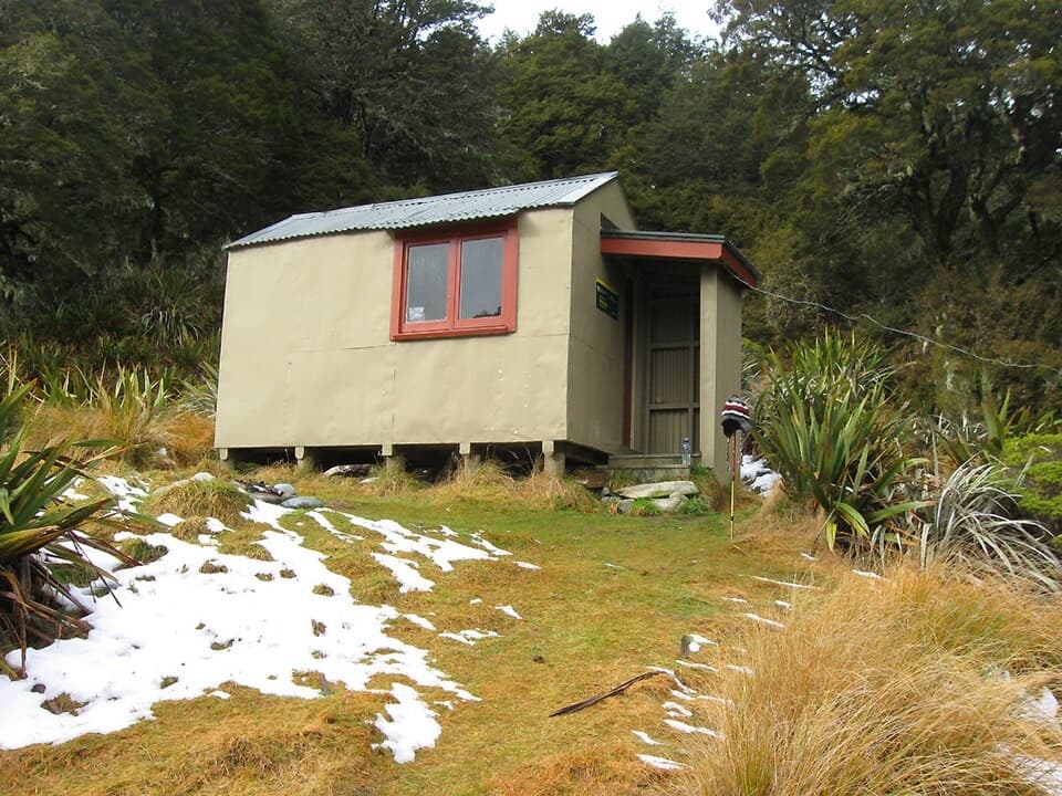
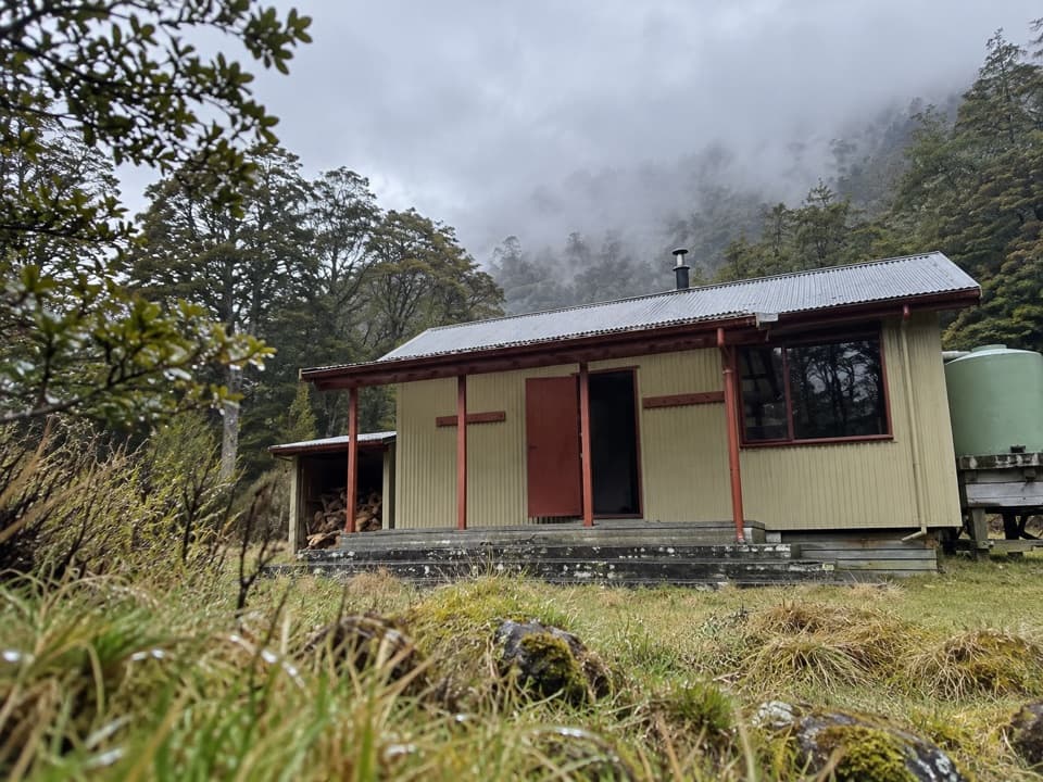
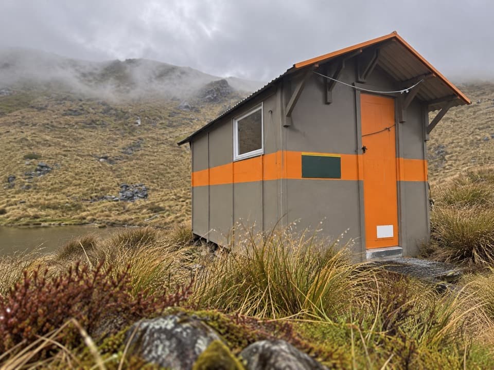
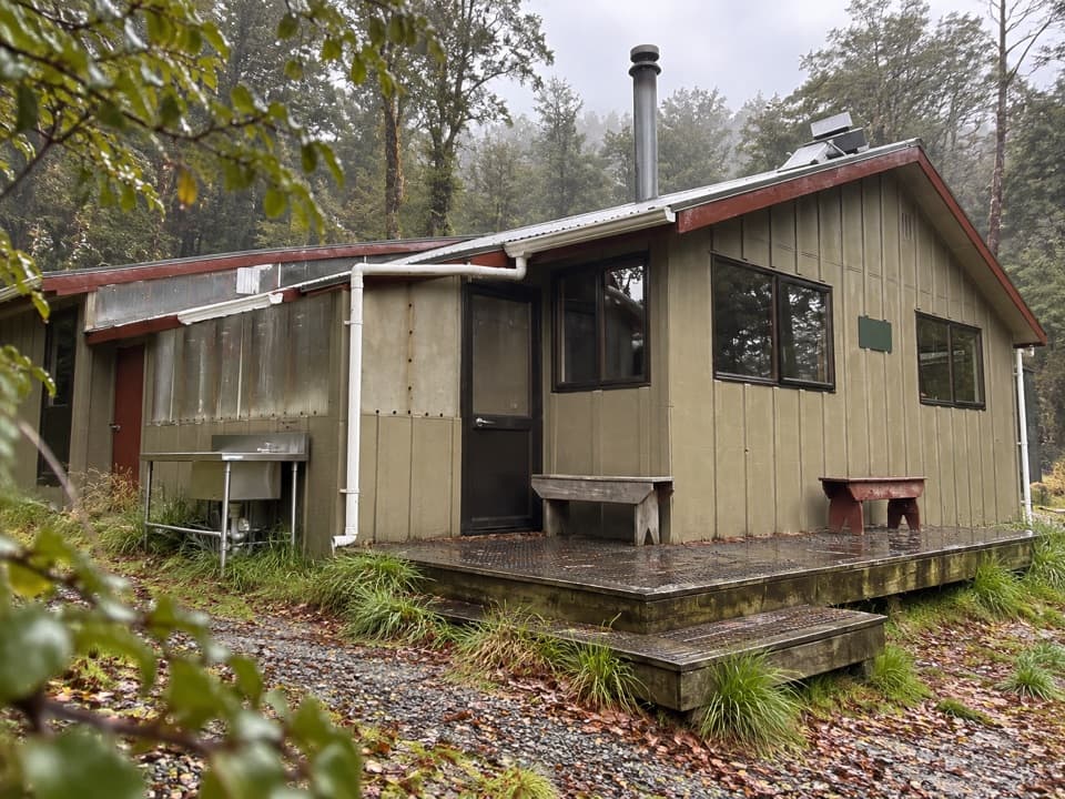
Mole Saddle–Tiraumea Track is a 3.6-mile (5.8 km) one-way backcountry route from Mole Saddle to Tiraumea Hut. It undulates along a high ridge, then drops steeply to open flats and the six-bunk hut beside a stream. This is a remote hut-to-hut link, not a road-accessible day walk. Allow about four hours for the mapped section: DOC lists three hours from Mole Hut to Tiraumea Hut, while a regional route account allows five for the same ridge connection. Treat 3–5 hours as a planning range and leave extra time for the approach to the saddle.

Follow the markers, not the map's promiseFrom the open saddle, the named track starts at the bushline.

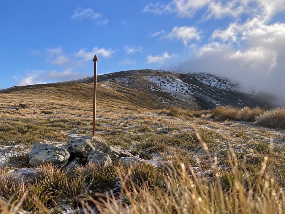
From the open saddle, the named track starts at the bushline. It has more rises and dips than the map suggests, and the final drop to the hut is steep. Older red-and-white markers are not always easy to see, so bring reliable navigation and know how to use it. Check DOC track notices before heading into this remote section.

Reach the saddle and plan the hut stopThe mapped line begins at Mole Saddle, not at a car park.

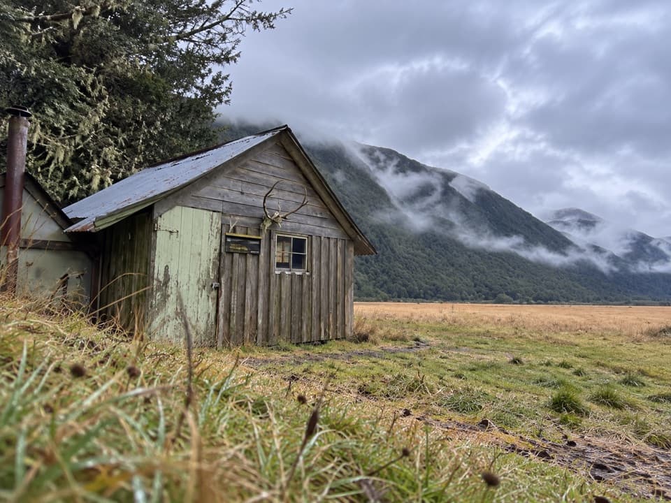
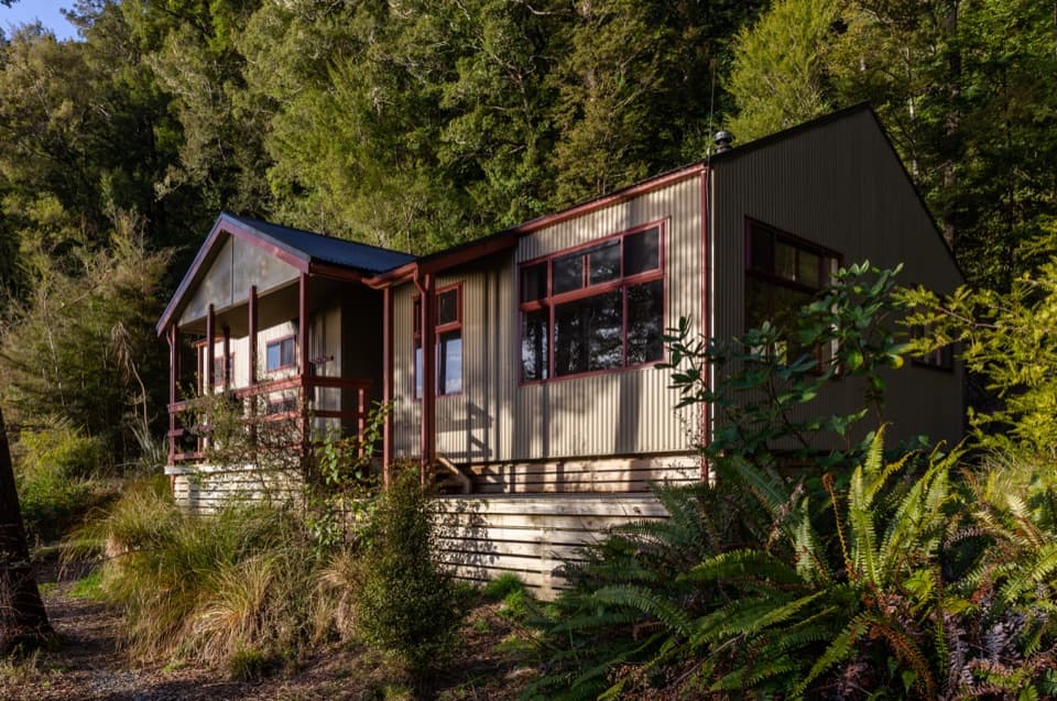
The mapped line begins at Mole Saddle, not at a car park. The backcountry approach starts from signposted Mole Stream parking near Mataki Lodge and continues via Mole Hut; reports put the approach to the hut at about three to four hours, separate from the 3.6-mile track above. Tiraumea is a DOC standard hut with six bunks, first come with no booking; an overnight stay requires a hut ticket or pass. Food and other services on the route were not found. Dogs and other domestic animals are prohibited in Nelson Lakes National Park.

Wildlife

Wildlife in Nelson Lakes

All Nelson Lakes wildlife maps

Sighting maps show where each species has been reported across Nelson Lakes. Wildlife moves, so no sighting is guaranteed.

Keep exploring

Near Mole Saddle–Tiraumea Track

See it all on the map

Trails that start nearby

Places near the trailhead

Parkwolf’s Nelson Lakes ranking

Top-rated trails in Nelson Lakes

All 57 trails
  1. 1Mount Robert CircuitChallenging · 9 km
  2. 2Angelus Hut via Pinchgut Track and Robert Ridge RouteChallenging · 12.2 km
  3. 3St Arnaud Range TrackChallenging · 10 km
  4. 4Rotomairewhenua/Blue Lake TrackChallenging · 15.4 km
  5. 5Travers-Sabine CircuitChallenging · 80 km
  6. 6Lake Rotoiti CircuitChallenging · 23.4 km

Take Parkwolf to Nelson Lakes.

The audio tour guide for the drive, plus offline maps, trails, and wildlife heatmaps for when the signal drops.

4.7 from 8,600+ ratings

Download Parkwolf on the App StoreGet Parkwolf on Google Play