Parachute Rocks in Nelson Lakes National Park

#7 of 15 sights in Nelson Lakes

Sight · Nelson Lakes National Park

Parachute Rocks

A two-hour climb brings Lake Rotoiti into view above the bushline.

Type
Sight
Nearest trail
3.2 km
  • Scenic viewpoint

Hear the audio tour

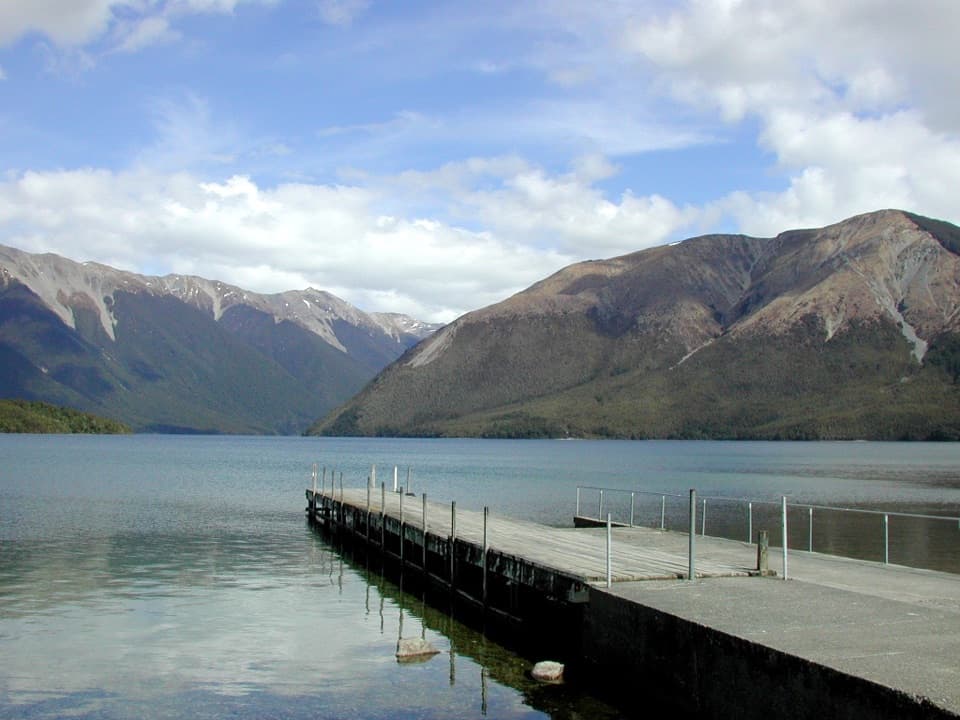
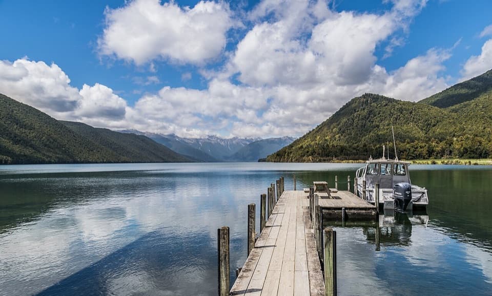
Kerr Bay and Lake Rotoiti

Overview

About Parachute Rocks

Why stop

  • Beech forest gives way to alpine herbfields and open rock

Heads up

  • Expect about two hours of climbing before you reach the rocks

Map

Where it is

Loading the Nelson Lakes map
Full map
SightParachute Rocks-41.82358, 172.88061
Keep this map with you offline in the Parkwolf app

Plan your stop

Before you go

3 active Nelson Lakes alerts

  • ClosureRotoroa Route permanently closedThe Rotoroa Route is permanently closed along the eastern side of Lake Rotoroa between Rotoroa village and Sabine Hut.Official details
  • CautionUnbridged stream between Sabine and D’Urville hutsThe bridge on the track between Sabine Hut and D’Urville Hut has been removed; trampers must cross an unbridged stream at GR E1571366 N5359831.Official details
See all 3 alerts
A park ranger sits on a dash-mounted phone, talking, as Parkwolf’s Tour Guide plays “Army Cutworm Moths: A Grizzly Bear Buffet” on Grand Loop Road below Dunraven Pass in Yellowstone
Parkwolf Tour GuideThe highest, rockiest slopes around here are a summer buffet for grizzly bears.

Nelson Lakes Tour Guide

Your drive to Parachute Rocks, narrated.

Parkwolf is a GPS audio tour guide for Nelson Lakes National Park. As you drive, it chimes in with what’s ahead: hidden gems, upcoming stops, history, geology, and wildlife, right through your car’s speakers.

Recorded for this place

Kerr Bay and Lake Rotoiti
0:00 / 0:27
“You're approaching Kerr Bay, an easy place to get down to Lake Rotoiti without taking on a hike.”

Plays as you drive up to Parachute Rocks in the Parkwolf Nelson Lakes Tour Guide.

More stories near here in the app

  • St Arnaud: Food and Village Stops
  • Nelson Lakes Visitor Centre
  • Lodge Road and Black Hill Walk
  • Teetotal Campsite and Duck Pond
  • 26 audio storiesacross Nelson Lakes’s roads, triggered by GPS as you drive
  • Wildlife heatmapsfor New Zealand Falcon, Weka, Kererū, and 13 more
  • Works offlinemaps, 57 trails, 47 places, and audio download before you lose signal
  • CarPlay readysimple controls built for the drive
★★★★★
“Fantastic app with many points of information… It’s great to just turn on while you’re driving and it gives you an audio tour of the national Park. We love it!!!!”
JMJamesApp Store review
Download Parkwolf on the App StoreGet Parkwolf on Google Play

4.7 from 8,600+ ratings

Guide

More about Parachute Rocks

A viewpoint above the bushlineParachute Rocks is a named rocky viewpoint on the St Arnaud Range, about 1,400 metres above the…

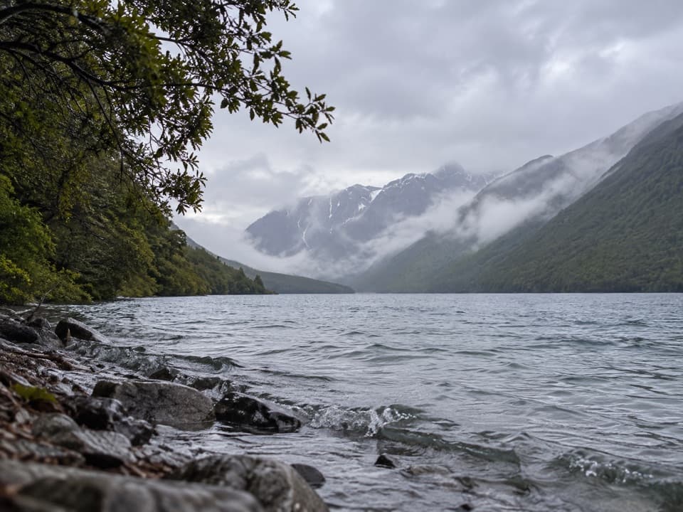
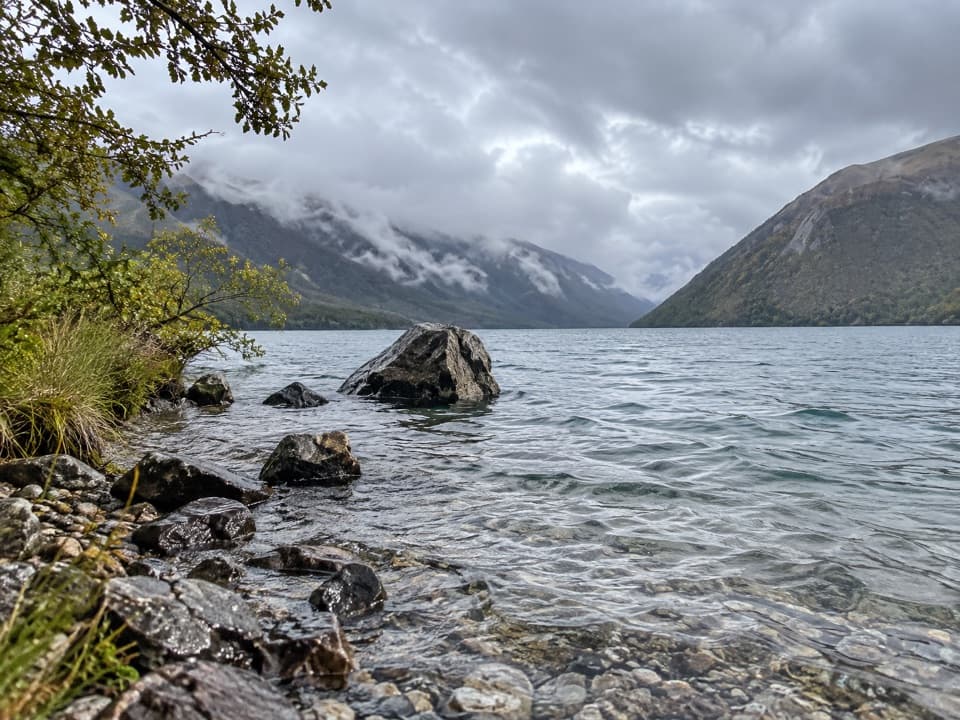
Parachute Rocks is a named rocky viewpoint on the St Arnaud Range, about 1,400 metres above the bushline and overlooking Lake Rotoiti. You reach it on foot from Kerr Bay; this is a mountain walk, not a roadside pullout. The rocks make a natural turnaround if the view is your goal, while the track keeps climbing toward the ridge.

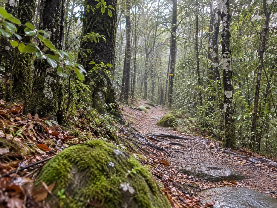
Plan for the climbThe St Arnaud Range Track starts at the eastern corner of Kerr Bay and climbs steadily through…

The St Arnaud Range Track starts at the eastern corner of Kerr Bay and climbs steadily through beech forest. The rocks are about two hours up. The full out-and-back continues another 30 minutes to the ridge and is 10 km return, about five hours. This is an advanced tramping track, so allow enough time and bring warm, waterproof layers; freezing alpine conditions can happen at any time of year. Dogs aren’t allowed.

For photos, keep Lake Rotoiti below the rocky crest in the frame. The lake and forested slopes show how high you’ve climbed.

Why they’re called Parachute RocksThe name comes from a parachute-shaped gravel scree just north of the rocks.

The name comes from a parachute-shaped gravel scree just north of the rocks. It’s a small detail to look for after the long climb, and a better story than the name first suggests.

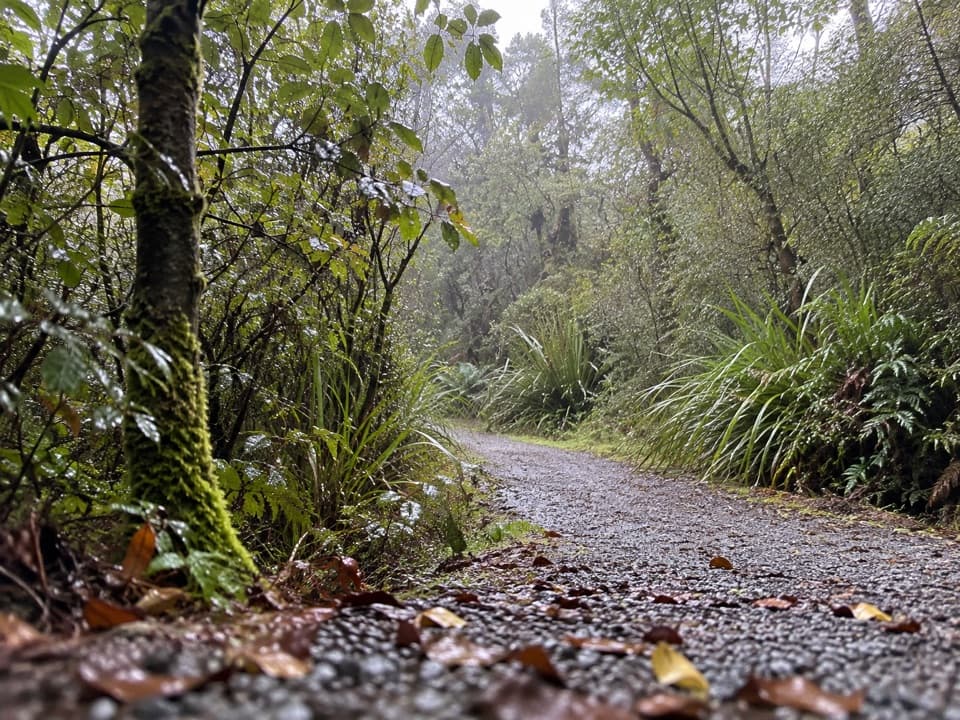
From beech forest to alpine flowersThe lower track crosses glacial moraine beneath red beech and broadleaf.

The lower track crosses glacial moraine beneath red beech and broadleaf. Higher up, silver beech gives way to increasingly stunted mountain beech. Above the bushline, the trees open into tussock, subalpine shrubs and alpine herbfields. Many of the herbs flower gold and white in late spring and early summer.

Ice in the landscapeThe moraine terraces below the rocks were left by glaciers.

The moraine terraces below the rocks were left by glaciers. Higher on the range, truncated spurs show where ice cut off the ends of ridges, while small tarns sit in basins carved by glaciers and left behind as the ice melted.

Continue to the ridgeIf you carry on for another half-hour, the track reaches a ridge above 1,650 metres.

If you carry on for another half-hour, the track reaches a ridge above 1,650 metres. From there, the views open east down the Wairau Valley, north to Mount Richmond Forest Park, west toward Kahurangi National Park and the Buller Valley, and south into the rest of Nelson Lakes National Park.

Wildlife

Wildlife in Nelson Lakes

All Nelson Lakes wildlife maps

Sighting maps show where each species has been reported across Nelson Lakes. Wildlife moves, so no sighting is guaranteed.

Keep exploring

Near Parachute Rocks

See it all on the map

Trails nearby

More stops nearby

Parkwolf’s Nelson Lakes ranking

Top sights in Nelson Lakes

All 47 places
  1. 1Lake Rotoiti – Kerr Bay and JettySight
  2. 2Rotomairewhenua / Blue LakeSight
  3. 3Lake Rotoroa – Foreshore and JettySight
  4. 4Rotomaninitua / Lake AngelusSight
  5. 5Rotopōhueroa / Lake ConstanceSight
  6. 6Whisky FallsSight

Take Parkwolf to Nelson Lakes.

The audio tour guide for the drive, plus offline maps, trails, and wildlife heatmaps for when the signal drops.

4.7 from 8,600+ ratings

Download Parkwolf on the App StoreGet Parkwolf on Google Play