Parking
There is no car park at the start. The Waiau Valley junction and D’Urville forks are remote backcountry access points; reach both on longer valley routes and plan huts, camps and transport as part of the full itinerary.
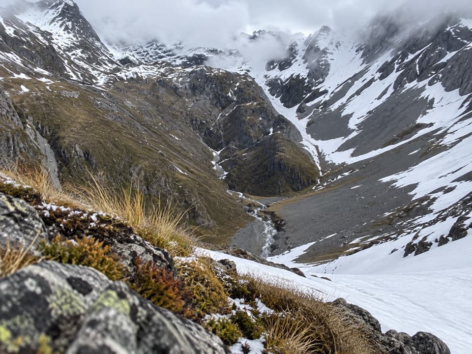
Nelson Lakes National Park, TM
A high alpine crossing for expert backcountry parties.
Overview
Map & elevation
Plan your hike

The highest, rockiest slopes around here are a summer buffet for grizzly bears.
Nelson Lakes Tour Guide
Parkwolf is a GPS audio tour guide for Nelson Lakes National Park. As you drive, it chimes in with what’s ahead: hidden gems, upcoming stops, history, geology, and wildlife, right through your car’s speakers.
“Fantastic app with many points of information… It’s great to just turn on while you’re driving and it gives you an audio tour of the national Park. We love it!!!!”


Trail guide
Thompson Pass Route is a 5.4 km (3.36-mile) one-way crossing from the Waiau Valley track junction, via Lake Thompson, to the D’Urville forks. The crossing itself is estimated at about 4½ hours; the separate walks into and out of either valley add substantially more. This is an unmarked alpine route, not a standalone day hike. It suits only experienced parties comfortable with off-track travel, steep ground and river crossings.
The eastern leg starts with river crossings and a scramble out of the stream, then climbs a steep gut or nearby ridge toward Lake Thompson. The lake lies in a high rocky basin at about 1,700 m. From there, a short climb over a grassy tongue and rock reaches the 1,796 m pass. The pass is easier to identify from the Waiau side than from the D’Urville Valley, so this is the clearer direction to approach it.
The western leg drops nearly 700 m over scree and steep slopes to the D’Urville forks. One route description follows cairns and keeps to the true left to avoid ravines; other parties have used a southeast bypass after reporting fatal accidents on the direct descent. The exact line is disputed. Treat the mapped route as a corridor rather than a safe, marked path, and use current local advice and expert navigation before committing to the descent.
Lake Thompson’s turquoise water sits beneath a stark bowl of broken rock, tussock and steep ridges. From the pass, views open back toward the lake and the heads of both valleys. A V-shaped notch toward Waiau Pass makes a distinctive frame from the lake basin. Alpine herbs and woolly edelweiss have been reported among the rocks near the pass, though flowers are seasonal.
There is no car park at either end; both are remote backcountry junctions reached by longer routes. Informal tent sites have been reported by the lake, but it is not a serviced campsite. Snow can fall at any time of year, and avalanche terrain lies in the wider alpine area. Dogs are not permitted in Nelson Lakes National Park.
Wildlife
 20 sightingsNew Zealand FalconMost seen around 9 AMSighting map
 39 sightingsWekaMost seen around 7 AMSighting map
 11 sightingsKererūMost seen around 9 AMSighting map
 55 sightingsBlack SwanMost seen around 8 AMSighting map
 23 sightingsParadise ShelduckMost seen around 6 AMSighting map
 17 sightingsTūīMost seen around 7 AMSighting map
Sighting maps show where each species has been reported across Nelson Lakes. Wildlife moves, so no sighting is guaranteed.
Keep exploring
 ChallengingWaiau Pass Route16.7 km · 11.5 hr · 5.8 km awayA remote, expert alpine crossing over Waiau Pass.
 ChallengingRotopōhueroa/Lake Constance Track5.6 km · 5 hr · 5.8 km awayA steep moraine climb to a sacred alpine lake.
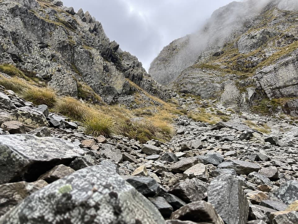 ChallengingMoss Pass Route6.6 km · 6 hr · 5.8 km awayA steep rocky pass opens views into two remote valleys.
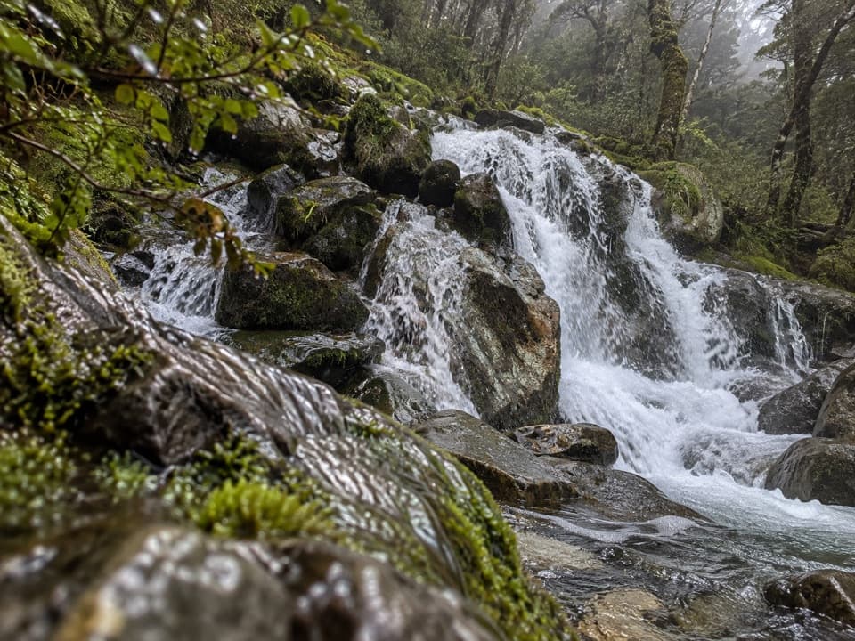 ChallengingMcKellar Stream Route4.9 km · 3.8 hr · 7.9 km awayA rough, remote descent from the Ella Range into Matakitaki Valley
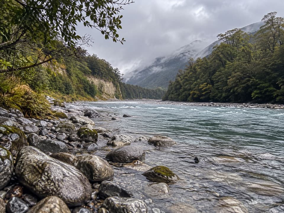 ModerateMatakitaki Forks Route11.9 km · 5 hr · 10.8 km awayA mossy beech track to a remote Matakitaki river crossing.
 ChallengingRotomairewhenua/Blue Lake Track15.4 km · 7 hr · 11.7 km awayThe clearest water comes after a long, serious alpine climb.
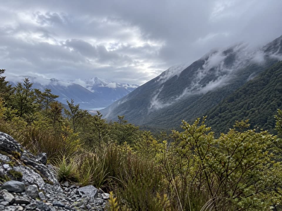 ModerateSabine Track15 km · 6 hr · 11.7 km awayOpen flats, a river gorge and a hut above Lake Rotoroa.
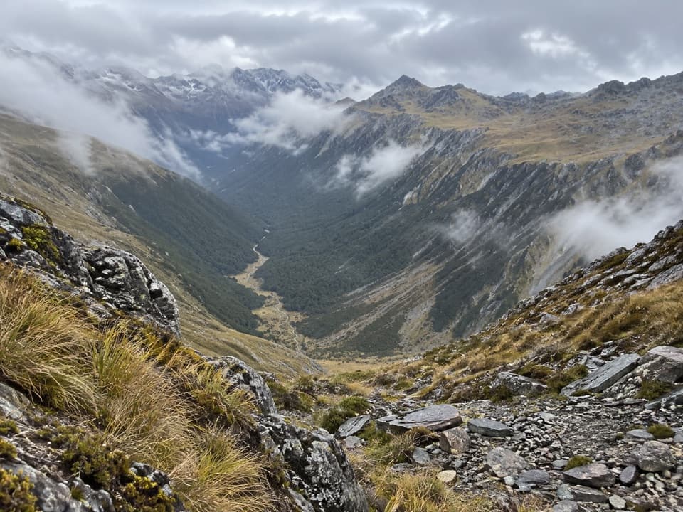 ChallengingDavid Saddle Route12 km · 12 hr · 11.9 km awayA remote hut crossing over a steep, sparsely marked alpine saddle.
 Sight · 3.4 km awayRotopōhueroa / Lake ConstanceTurquoise water beneath Waiau Pass, reached on a backcountry tramp.
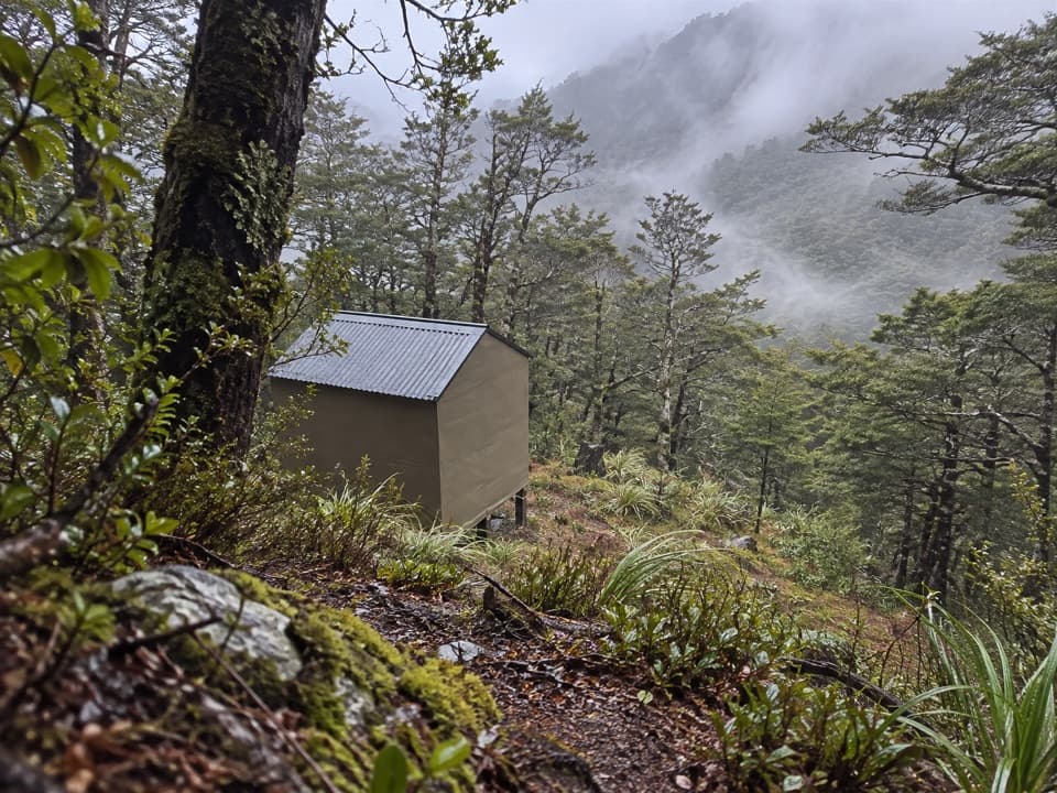 Lodging · 3.6 km awayUpper D'Urville HutTwo bunks in the bush, with an avalanche story in its past.
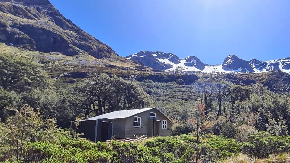 Lodging · 5.8 km awayBlue Lake HutA booked hut gives you time near the famously clear lake.Sight · 5.8 km awayRotomairewhenua / Blue LakeAn exceptionally clear alpine lake reached on a multi-day tramp.
 Lodging · 7.8 km awayGeorge Lyon HutA 16-bunk backcountry refuge deep in the D’Urville Valley.
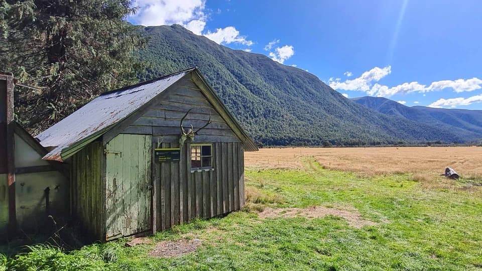 Lodging · 10.5 km awayDownies Hut1902 graffiti survives in this small backcountry hut.
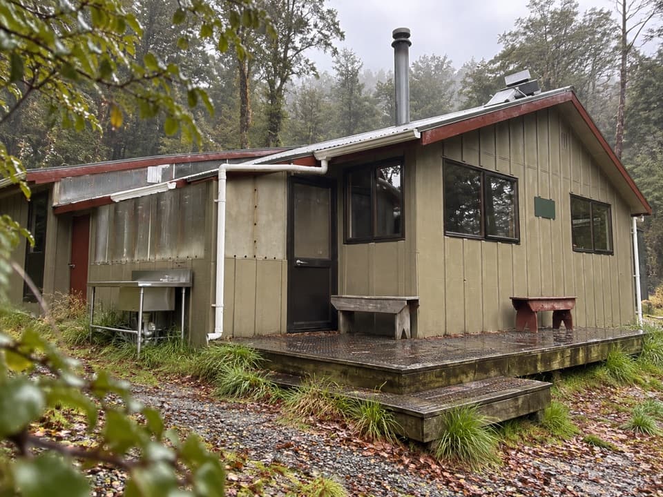 Lodging · 11.7 km awayWest Sabine HutA warm, 30-bunk stop on the high Travers–Sabine Circuit
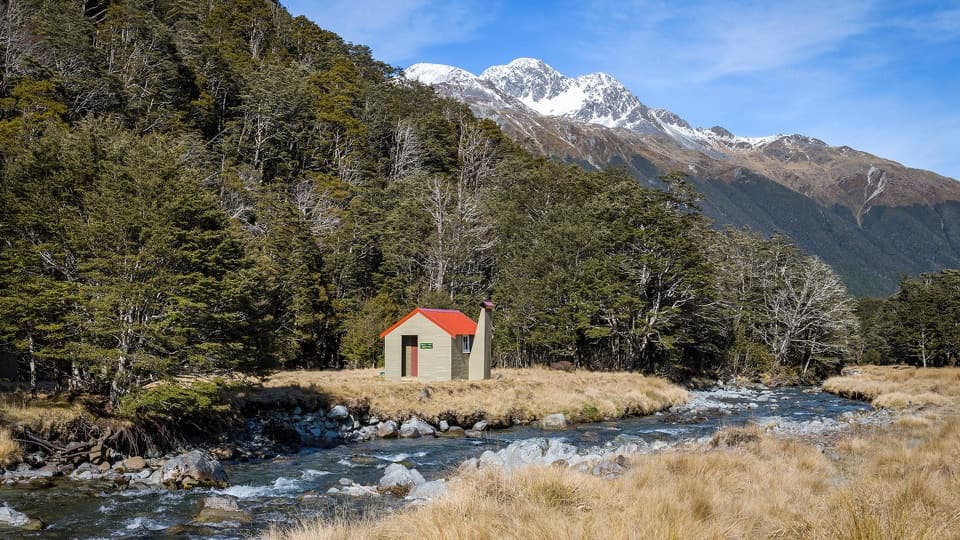 Lodging · 11.9 km awayEast Matakitaki HutA riverside six-bunk hut for a proper backcountry tramp.
Parkwolf’s Nelson Lakes ranking

The audio tour guide for the drive, plus offline maps, trails, and wildlife heatmaps for when the signal drops.




