Parking
There is no road access or car park at the trailhead. Start at Blue Lake Hut, reached only on foot during a multi-day tramp; reserve the serviced hut before setting out.

Nelson Lakes National Park, TM
A steep moraine climb to a sacred alpine lake.
Overview
Map & elevation
Plan your hike

The highest, rockiest slopes around here are a summer buffet for grizzly bears.
Nelson Lakes Tour Guide
Parkwolf is a GPS audio tour guide for Nelson Lakes National Park. As you drive, it chimes in with what’s ahead: hidden gems, upcoming stops, history, geology, and wildlife, right through your car’s speakers.
“Fantastic app with many points of information… It’s great to just turn on while you’re driving and it gives you an audio tour of the national Park. We love it!!!!”


Trail guide
Rotopōhueroa/Lake Constance Track is a 3.5-mile out-and-back from Blue Lake Hut to the first marked arrival at the lake’s shore. The route climbs the moraine that dams the basin, then crosses steep ground above the western cliffs before dropping to the water. It’s a memorable side trip for an experienced tramper already at the hut, but the short mileage hides rough footing and a demanding climb. Allow about five hours return, including time to stop; there’s no separate official time for this short excursion, and the estimate does not cover the longer Waiau Pass crossing.
From Blue Lake Hut, follow the orange triangles and poles south up the moraine. Once you’re on top, stay with the marked line high above the lake’s west side. It winds through steep gullies and spurs, then descends to the shore about 2.8 km from the hut. This entry turns around at that first shoreline arrival and returns the same way. The through-route continues along the shore toward the lakehead and on to Waiau Pass, but that’s a different, much longer trip. Don’t cut down to the water early: the bluffs and deep water stop the way along the lake edge.
The moraine is a natural dam between the Blue Lake basin and Rotopōhueroa. Lake Constance sits at about 1,340 metres in a post-glacial basin, roughly 2 km long and up to 700 metres wide. The climb gives you the view first; when you reach the shore, you’re looking across the long lake with steep mountain walls rising around it. From the moraine, frame the water between those flanks rather than trying to follow the shoreline.
There’s no road or car park at this trailhead. Blue Lake Hut is reached only on a multi-day tramp, not as a day trip from St Arnaud. The serviced hut has 16 bunks and requires a booking; its tap water is untreated, so boil it before drinking. Plan food as part of a self-sufficient backcountry trip.
Rotopōhueroa is tapu, or sacred, and has deep cultural significance to Ngāti Apa ki te Rā Tō. Don’t touch or take water from the lake, swim or wash in it, or put any equipment in the water. Dogs aren’t allowed on this route. The main caution is the exposed line above the western cliffs: keep to the orange markers and turn back if you can’t identify the marked way.
Wildlife
 20 sightingsNew Zealand FalconMost seen around 9 AMSighting map
 39 sightingsWekaMost seen around 7 AMSighting map
 11 sightingsKererūMost seen around 9 AMSighting map
 55 sightingsBlack SwanMost seen around 8 AMSighting map
 23 sightingsParadise ShelduckMost seen around 6 AMSighting map
 17 sightingsTūīMost seen around 7 AMSighting map
Sighting maps show where each species has been reported across Nelson Lakes. Wildlife moves, so no sighting is guaranteed.
Keep exploring
 ChallengingWaiau Pass Route16.7 km · 11.5 hr · At the trailheadA remote, expert alpine crossing over Waiau Pass.
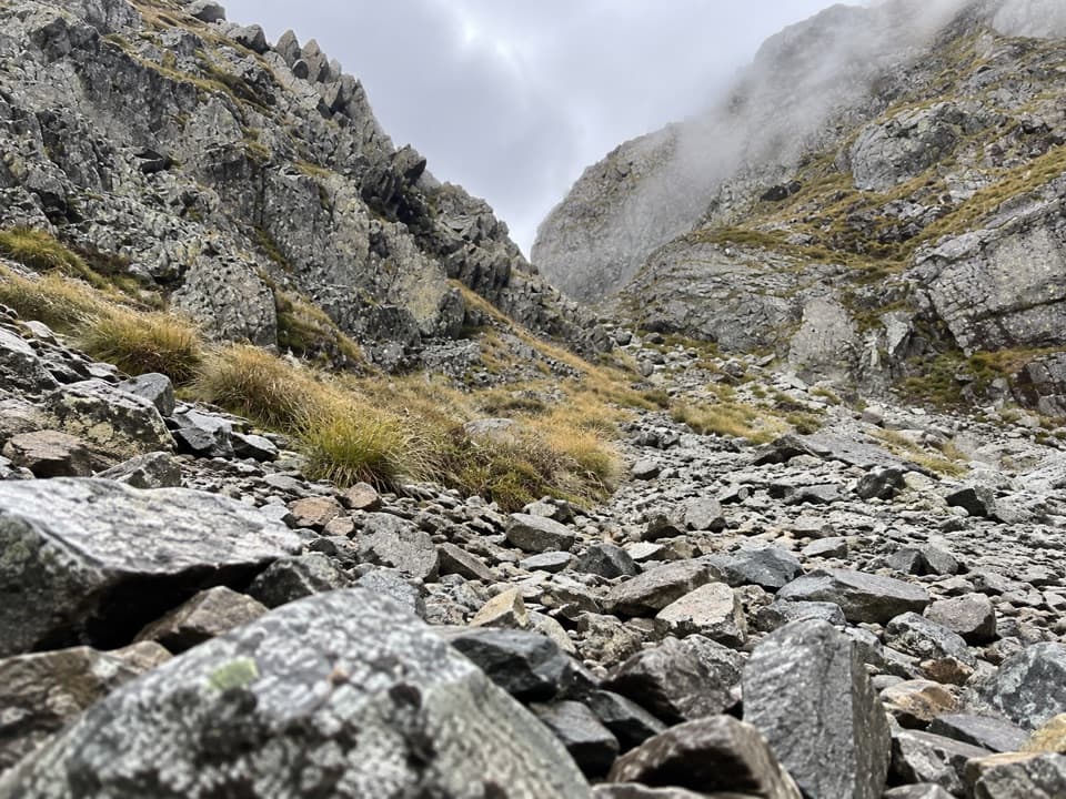 ChallengingMoss Pass Route6.6 km · 6 hr · At the trailheadA steep rocky pass opens views into two remote valleys.
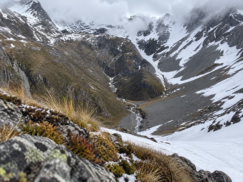 ChallengingThompson Pass Route5.4 km · 4.5 hr · 5.8 km awayA high alpine crossing for expert backcountry parties.
 ChallengingRotomairewhenua/Blue Lake Track15.4 km · 7 hr · 6.1 km awayThe clearest water comes after a long, serious alpine climb.
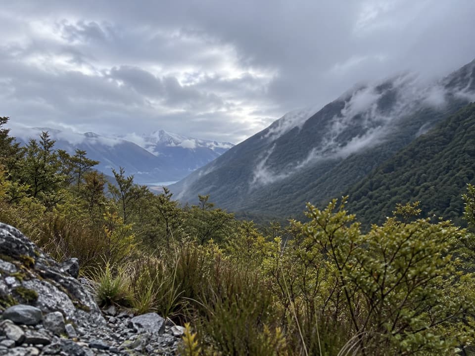 ModerateSabine Track15 km · 6 hr · 6.1 km awayOpen flats, a river gorge and a hut above Lake Rotoroa.
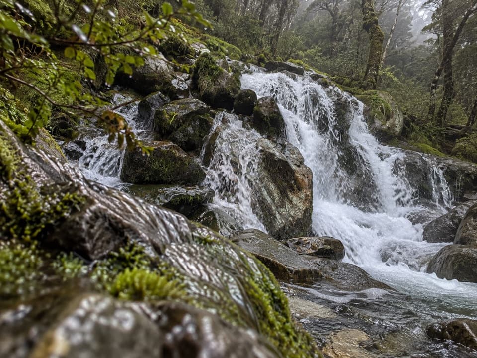 ChallengingMcKellar Stream Route4.9 km · 3.8 hr · 8.1 km awayA rough, remote descent from the Ella Range into Matakitaki Valley
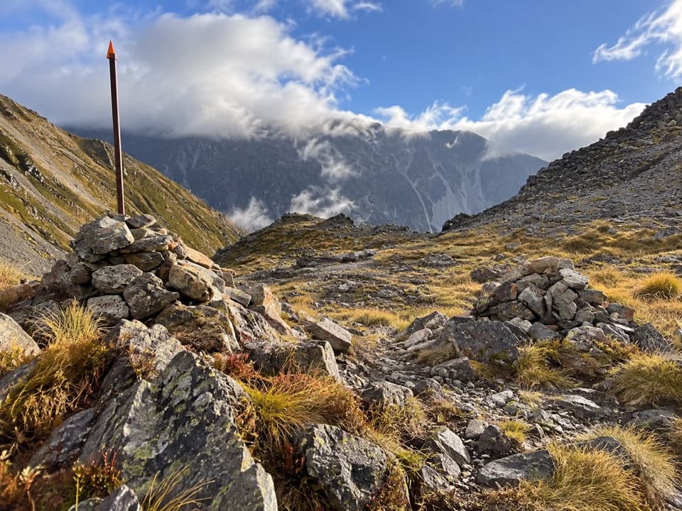 ChallengingPoukirikiri/Travers Saddle Route8.4 km · 7.5 hr · 8.9 km awayAn alpine pass links two remote valleys in one demanding day.
 ChallengingRainbow Pass from Upper Travers Hut6.1 km · 5.5 hr · 8.9 km awayA steep hut-to-pass return with tarn reflections and a high alpine finish.
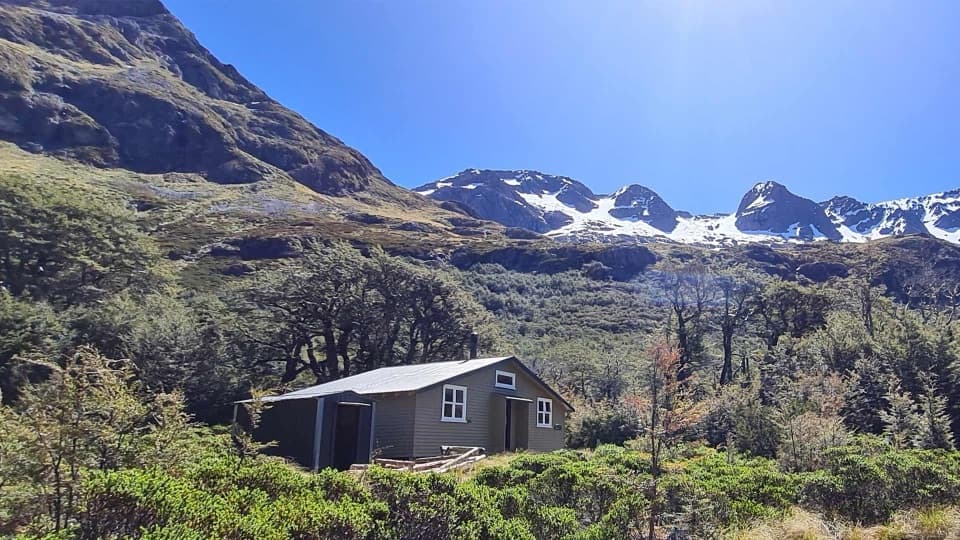 Lodging · At the trailheadBlue Lake HutA booked hut gives you time near the famously clear lake.Sight · 0.1 km awayRotomairewhenua / Blue LakeAn exceptionally clear alpine lake reached on a multi-day tramp.
 Sight · 2.5 km awayRotopōhueroa / Lake ConstanceTurquoise water beneath Waiau Pass, reached on a backcountry tramp.
 Lodging · 4.3 km awayGeorge Lyon HutA 16-bunk backcountry refuge deep in the D’Urville Valley.
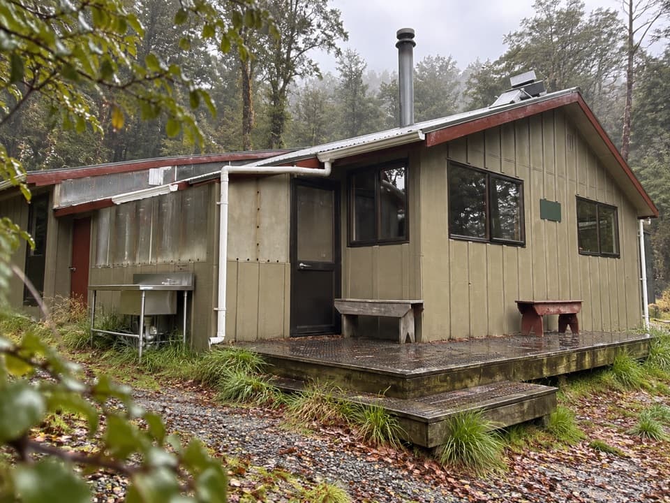 Lodging · 6.1 km awayWest Sabine HutA warm, 30-bunk stop on the high Travers–Sabine Circuit
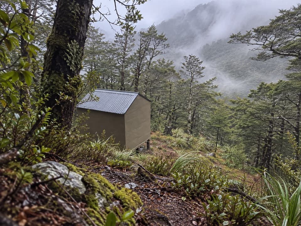 Lodging · 6.9 km awayUpper D'Urville HutTwo bunks in the bush, with an avalanche story in its past.
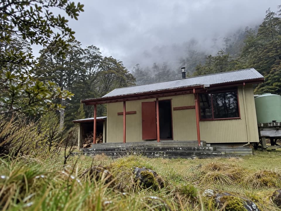 Lodging · 8.6 km awayMorgan HutAn overnight stop between two four-hour legs in the D’Urville Valley.
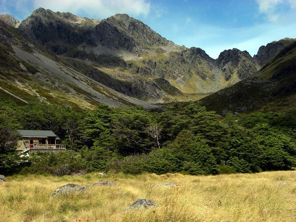 Lodging · 8.9 km awayUpper Travers HutSleep below Mount Travers on this demanding multi-day circuit.
Parkwolf’s Nelson Lakes ranking

The audio tour guide for the drive, plus offline maps, trails, and wildlife heatmaps for when the signal drops.




