Parking
There is no road access at either end. The route starts at Blue Lake Hut; reach it from Lake Rotoroa by water taxi to Sabine Hut, then walk via West Sabine Hut over two days. From St Arnaud, plan at least four days return to Blue Lake.
Nelson Lakes National Park, TM
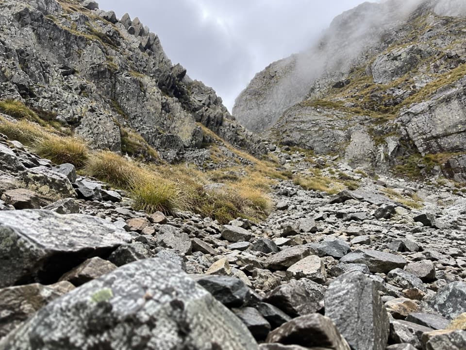
A steep rocky pass opens views into two remote valleys.
Overview
Map & elevation
Plan your hike

The highest, rockiest slopes around here are a summer buffet for grizzly bears.
Nelson Lakes Tour Guide
Parkwolf is a GPS audio tour guide for Nelson Lakes National Park. As you drive, it chimes in with what’s ahead: hidden gems, upcoming stops, history, geology, and wildlife, right through your car’s speakers.
“Fantastic app with many points of information… It’s great to just turn on while you’re driving and it gives you an audio tour of the national Park. We love it!!!!”


Trail guide
Moss Pass Route is a 4.1-mile (6.6-km) one-way crossing from Blue Lake Hut to George Lyon Hut, over a high alpine saddle and down into the D’Urville Valley. Allow about six hours for the crossing itself. It climbs roughly 600 m from the hut to Moss Pass, around 1,780 m high, then drops steeply toward the valley. The short map distance hides a hard alpine day; this is for fit, experienced trampers with a multi-day approach, not a day hike.
The route starts behind the hut and climbs steeply through forest in a stream bed. It becomes a rocky, pole-marked line above the bush and passes high over Rotomairewhenua/Blue Lake before reaching a basin of tarns. Keep the poles in sight: the line can fade around the basin, where it is easy to climb too high on the slope. Blue Lake is tapu; do not touch, swim, wash, take water from it, or put equipment in it.
From the tarns, poles lead across grassy and rocky slopes to a steep, narrow chute below the saddle. Loose gravel makes the scramble awkward, especially when the rocks are wet or frozen. Moss Pass is a bare notch, not a built lookout. From the top, the views open both ways: back toward the Mahanga and Franklin ranges, and down the broad green D’Urville Valley toward the Ella Range. The chute itself makes a strong foreground for a photo; stay on the route around the cushion plants.
The D’Urville side drops steeply to a tarn, then crosses scree and alpine garden into beech forest. The lower descent is damp, rooty and rough, with moss and slick rock underfoot; the route follows creeks before reaching a swing bridge over the D’Urville River. From there it is about 2 km to George Lyon Hut. The 16-bunk hut was built in 1973 as Ella Hut and later renamed for George Lyon, the park’s first chief ranger.
Blue Lake Hut is deep in the backcountry, with no road or day-walk access. The shortest approach is a water taxi from Lake Rotoroa Jetty to Sabine Hut, then two walking days via West Sabine Hut. From St Arnaud, allow at least four days return to Blue Lake. Blue Lake Hut has 16 bunks, water and toilets, and requires a booking; carry food for the full trip. The pass crosses complex avalanche terrain. Check the current avalanche advisory and go only with the skills and equipment for the conditions.
Wildlife
 20 sightingsNew Zealand FalconMost seen around 9 AMSighting map
 39 sightingsWekaMost seen around 7 AMSighting map
 11 sightingsKererūMost seen around 9 AMSighting map
 55 sightingsBlack SwanMost seen around 8 AMSighting map
 23 sightingsParadise ShelduckMost seen around 6 AMSighting map
 17 sightingsTūīMost seen around 7 AMSighting map
Sighting maps show where each species has been reported across Nelson Lakes. Wildlife moves, so no sighting is guaranteed.
Keep exploring
 ChallengingWaiau Pass Route16.7 km · 11.5 hr · At the trailheadA remote, expert alpine crossing over Waiau Pass.
 ChallengingRotopōhueroa/Lake Constance Track5.6 km · 5 hr · At the trailheadA steep moraine climb to a sacred alpine lake.
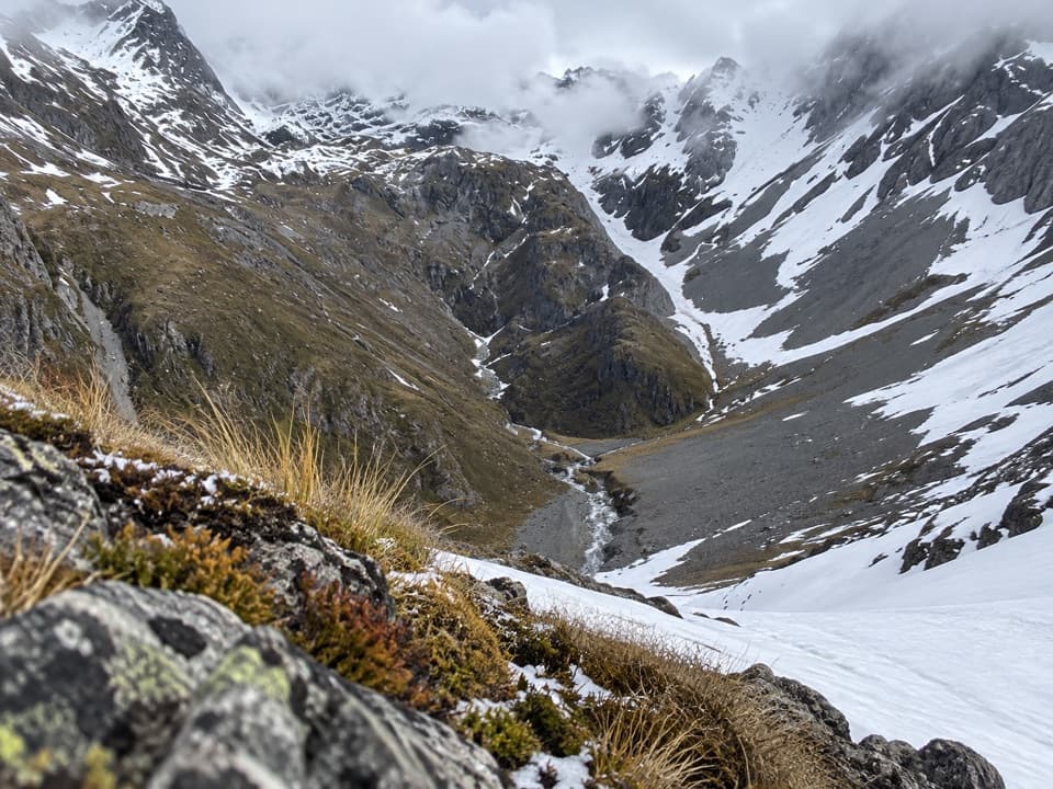 ChallengingThompson Pass Route5.4 km · 4.5 hr · 5.8 km awayA high alpine crossing for expert backcountry parties.
 ChallengingRotomairewhenua/Blue Lake Track15.4 km · 7 hr · 6.1 km awayThe clearest water comes after a long, serious alpine climb.
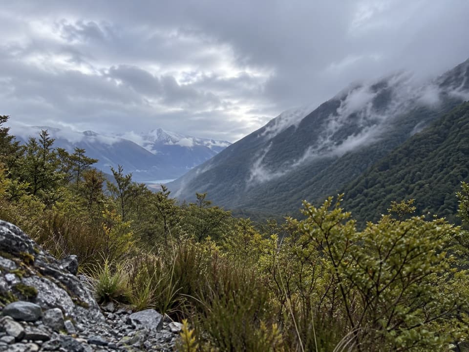 ModerateSabine Track15 km · 6 hr · 6.1 km awayOpen flats, a river gorge and a hut above Lake Rotoroa.
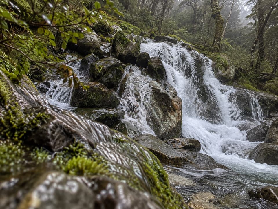 ChallengingMcKellar Stream Route4.9 km · 3.8 hr · 8.2 km awayA rough, remote descent from the Ella Range into Matakitaki Valley
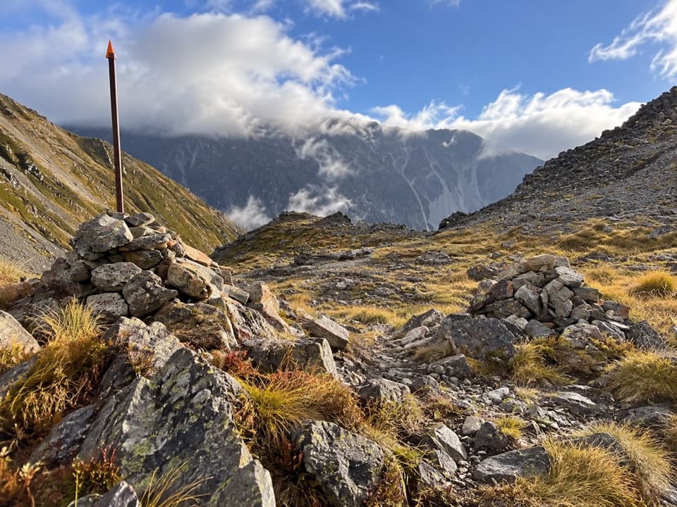 ChallengingPoukirikiri/Travers Saddle Route8.4 km · 7.5 hr · 8.9 km awayAn alpine pass links two remote valleys in one demanding day.
 ChallengingRainbow Pass from Upper Travers Hut6.1 km · 5.5 hr · 8.9 km awayA steep hut-to-pass return with tarn reflections and a high alpine finish.
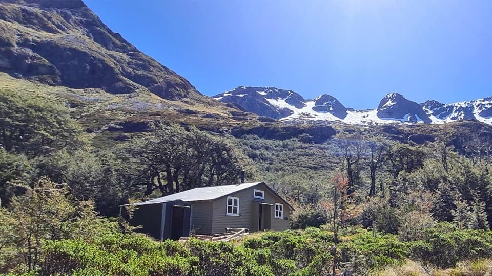 Lodging · At the trailheadBlue Lake HutA booked hut gives you time near the famously clear lake.Sight · 0.1 km awayRotomairewhenua / Blue LakeAn exceptionally clear alpine lake reached on a multi-day tramp.
 Sight · 2.5 km awayRotopōhueroa / Lake ConstanceTurquoise water beneath Waiau Pass, reached on a backcountry tramp.
 Lodging · 4.3 km awayGeorge Lyon HutA 16-bunk backcountry refuge deep in the D’Urville Valley.
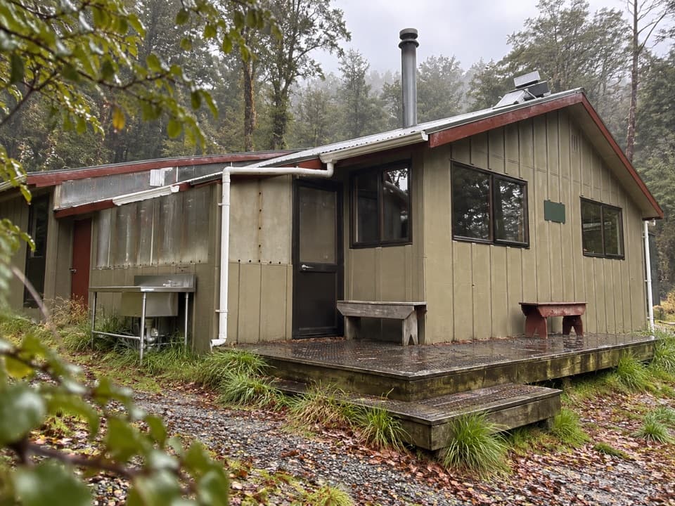 Lodging · 6.1 km awayWest Sabine HutA warm, 30-bunk stop on the high Travers–Sabine Circuit
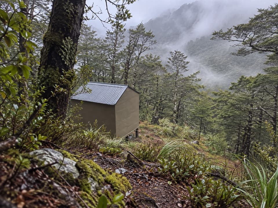 Lodging · 7 km awayUpper D'Urville HutTwo bunks in the bush, with an avalanche story in its past.
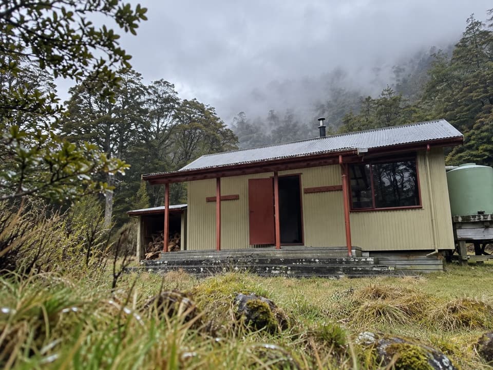 Lodging · 8.6 km awayMorgan HutAn overnight stop between two four-hour legs in the D’Urville Valley.
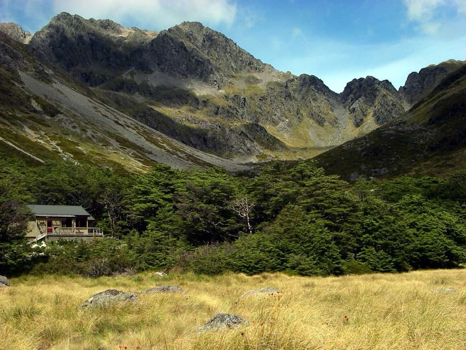 Lodging · 8.9 km awayUpper Travers HutSleep below Mount Travers on this demanding multi-day circuit.
Parkwolf’s Nelson Lakes ranking

The audio tour guide for the drive, plus offline maps, trails, and wildlife heatmaps for when the signal drops.




