Parking
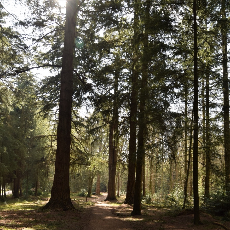
Use Lepe Country Park’s lower car park. The signed trailhead is on the small green by the road and coach parking. The park has toilets, a café, shop and information.
#10 of 70 trails in New Forest
New Forest National Park, EN
A coast-to-country circuit with mudflats and a D-Day story.
Overview
Map & elevation
Plan your hike

The highest, rockiest slopes around here are a summer buffet for grizzly bears.
New Forest Tour Guide
Parkwolf is a GPS audio tour guide for New Forest National Park. As you drive, it chimes in with what’s ahead: hidden gems, upcoming stops, history, geology, and wildlife, right through your car’s speakers.
Recorded for this trailhead
Lepe Country Park“You're approaching Lepe Country Park, where a shingle shore opens onto the Solent and the Isle of Wight.”
Plays as you drive up to this trailhead in the Parkwolf New Forest Tour Guide.
More stories near here in the app
“Fantastic app with many points of information… It’s great to just turn on while you’re driving and it gives you an audio tour of the national Park. We love it!!!!”


Trail guide
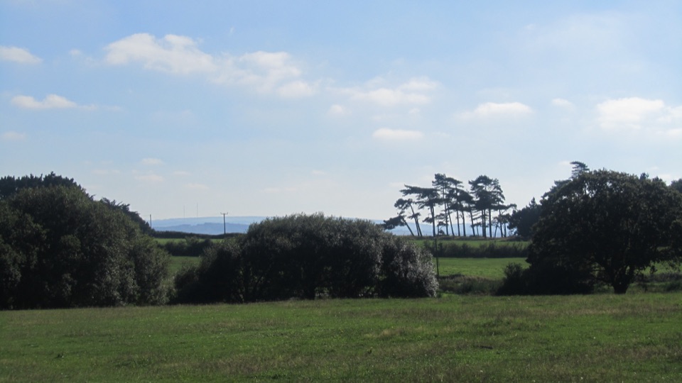
The Lepe Loop is a 4.5-mile circuit from Lepe Country Park, joining the Solent shore to inland footpaths through a little woodland and open fields before returning to the coast. It is mostly easy walking with gentle gradients, several gates and three stiles; allow about 2–3 hours at a relaxed pace. The appeal is the change of scene: tidal mudflats and coastal birdlife give way to a rural loop around East Hill Farm and broad views across the Solent.
From the lower car park, find the trailhead on the small green beside the road and coach parking, then follow the route west past the small lighthouse and old Coast Guard watch house. The path runs beside sea-defence groynes along the North Solent foreshore, where mudflats feed oystercatchers, curlews and dark-bellied Brent geese. At the groynes, the mudflats make a natural foreground for the wide Solent view. Lepe was also a D-Day embarkation point on 6 June 1944. Concrete and brick remains associated with Mulberry Harbour work lie about half a mile east of the car parks; reaching them is a separate shoreline detour, not part of this circuit. Keep dogs under close control around feeding birds.
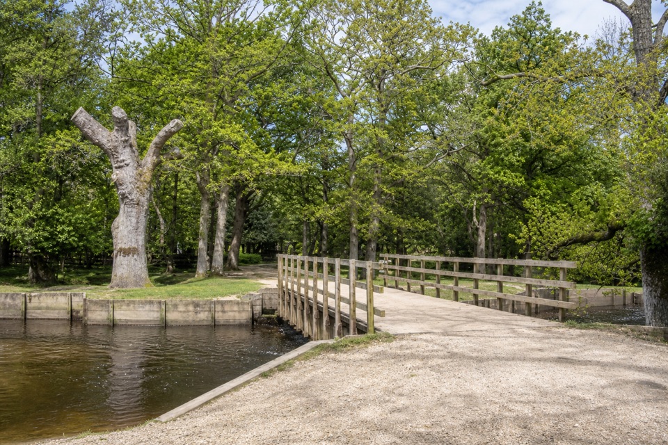
At the tide waymark, take the higher track toward Inchmery Lane if the foreshore is flooded; at low tide, the beach route continues farther west to Inchmery Road. A signed public footpath then crosses a small wood and bridge into large fields. Keep to the left hedgerow and watch for waymarks before crossing the lane to the gravel track at East Hill Farm. The route passes fields, drops into woodland, then turns uphill through the trees to arable land. The southbound return crosses large and smaller fields behind Coast Guard Cottages to Lepe’s overflow car park. The woodland paths can be very muddy, so that stretch is the main effort tradeoff on an otherwise gently graded walk.
Start at Lepe Country Park’s lower car park; parking, toilets, a café, shop and information are at the park, not along the inland stretch. The foreshore can flood at high tide, so use the higher route toward Inchmery Lane instead of continuing along the beach. Expect three stiles as well as gates. The route is low and mostly gentle, with no steep climb; tide timing and muddy woodland are the details that shape the day.
Wildlife
 28 sightingsRed DeerMost seen around 7 AMSighting map
 10 sightingsWhite-tailed EagleMost seen around 10 AMSighting map
 14 sightingsHarbor SealMost seen around 7 PMSighting map
 176 sightingsEuropean Fallow DeerMost seen around 7 PMSighting map
 93 sightingsWestern Roe DeerMost seen around 7 AMSighting map
 54 sightingsMute SwanMost seen around 6 PMSighting map
Sighting maps show where each species has been reported across New Forest. Wildlife moves, so no sighting is guaranteed.
Keep exploring
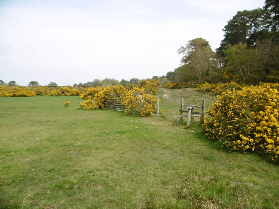 EasyTom’s Down9.7 km · 3 hr · 3.3 km awayOld mills, WWII traces and open commons on one linked circuit.
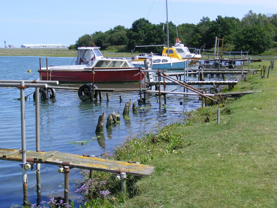 EasyAshlett Creek to Calshot Spit Walk4.5 km · 1.5 hr · 4.7 km awayA level walk from Fawley through creek, marsh and beach.
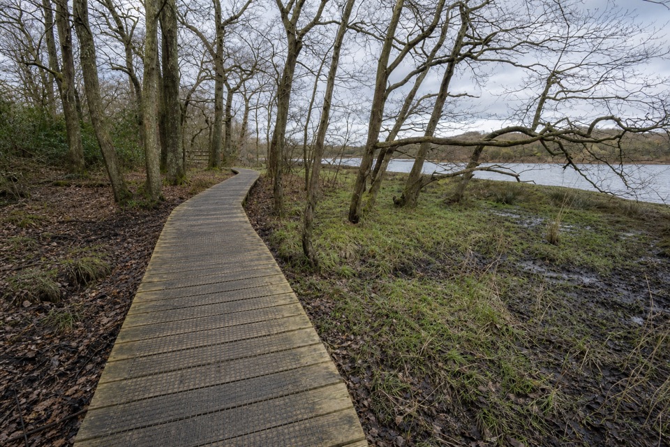 EasyBeaulieu to Buckler’s Hard Walk3.6 km · 1 hr · 7.7 km awayA saltmarsh riverside walk with a shipbuilding village at the end.
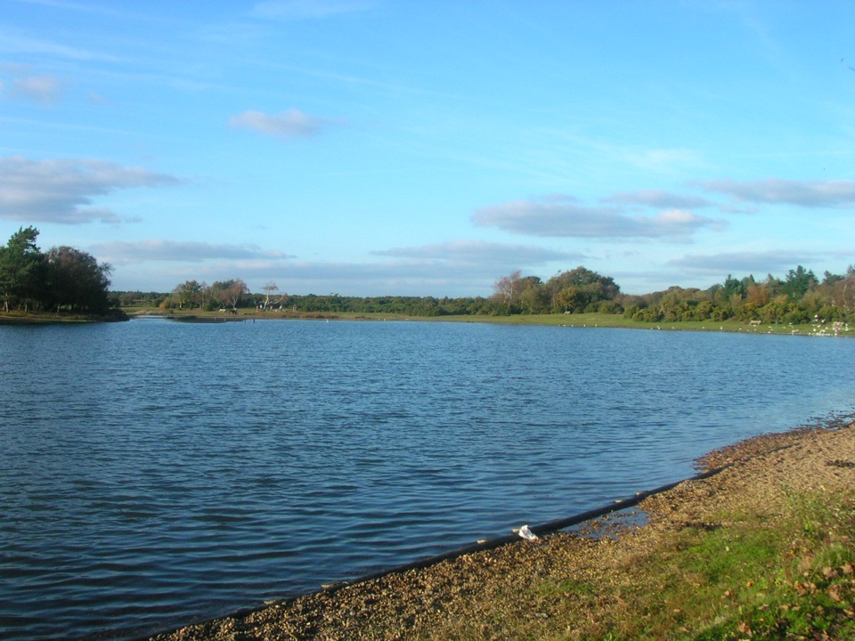 ModerateChapel Stores Walk6 km · 2 hr · 8.4 km awayA level heathland circuit between Hatchet Pond and Beaulieu Letters
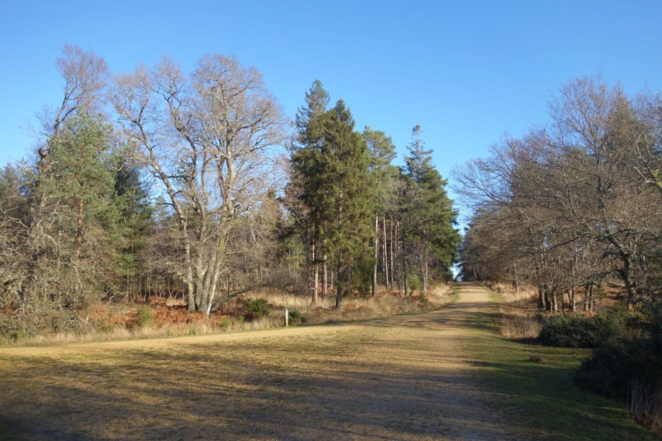 EasyHawkhill Loop2.7 km · 30 min · 11 km awayA brief circuit through tall trees on winding forest paths.
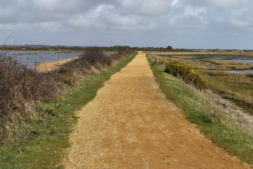 ModerateSea Air Trail8 km · 2.5 hr · 12.6 km awayFive one-way miles of sea wall between Lymington and Keyhaven.
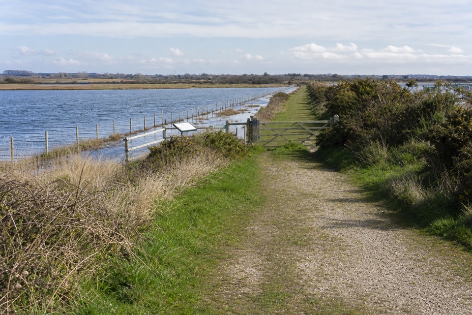 EasyLymington Marshes Rail Trail6 km · 1.5 hr · 13 km awayA flat loop from Lymington’s quay streets to its coastal marshes.
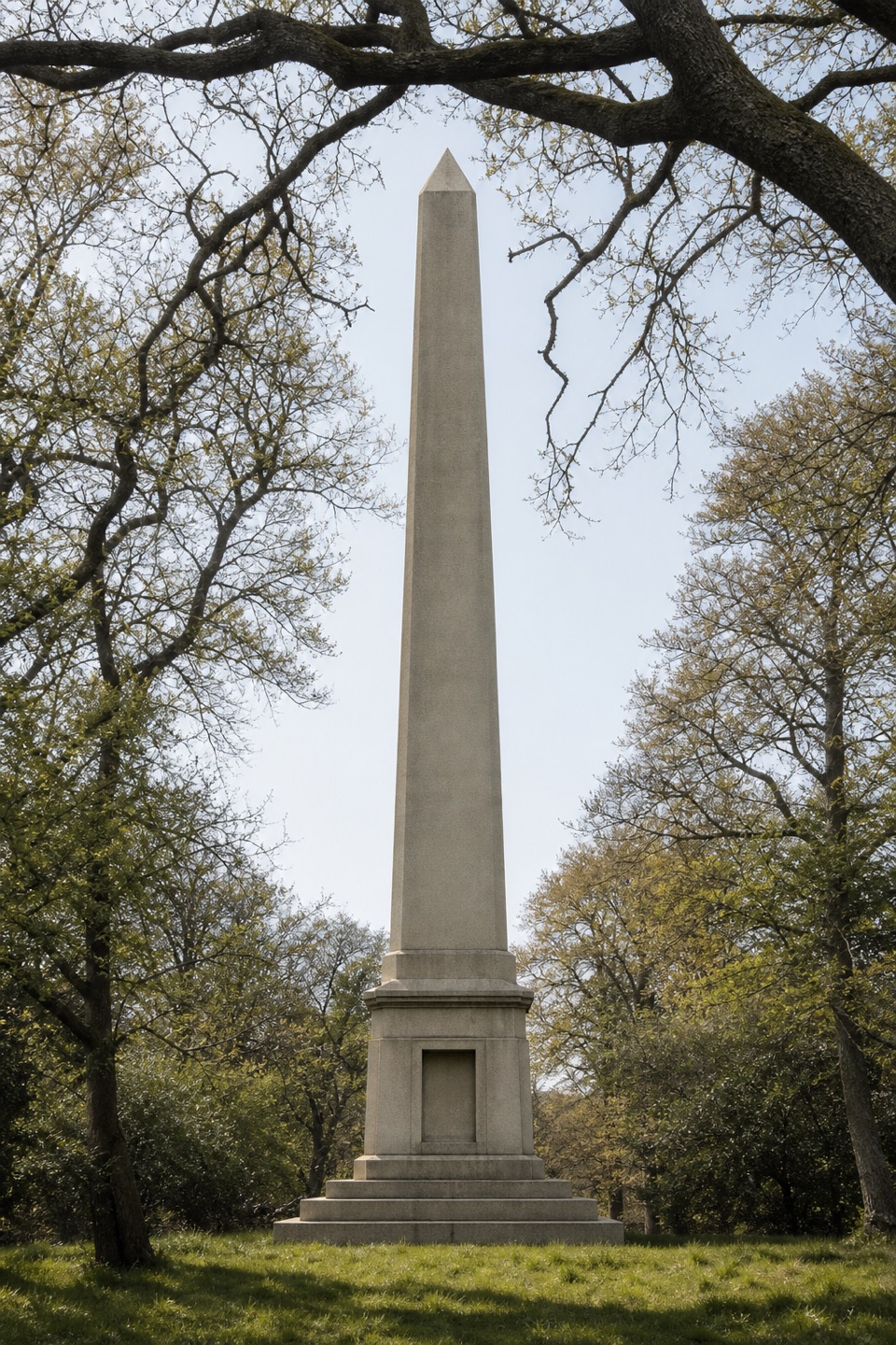 ModerateWalhampton Monument6.3 km · 2 hr · 13 km awayA stone obelisk, wartime airfield and Solent views in one circuit.
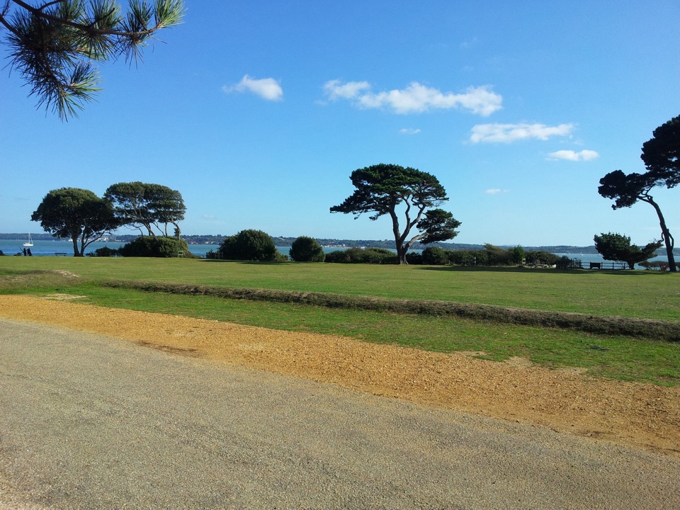 Sight · 0.3 km awayLepe Country ParkSolent shore, wildflower meadows and tangible D-Day remains in one walk
 Sight · 3.7 km awayExbury Gardens200 acres of woodland gardens with a steam train through rhododendrons
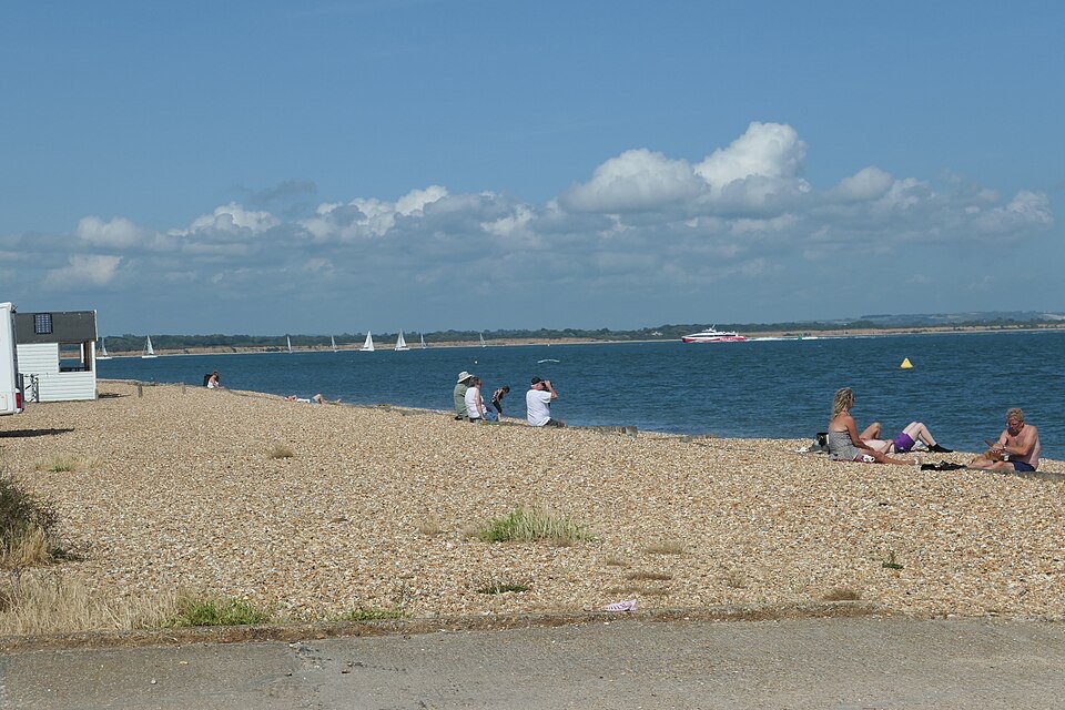 Beach · 4.6 km awayCalshot BeachColoured beach huts, shingle underfoot and big Solent shipping views
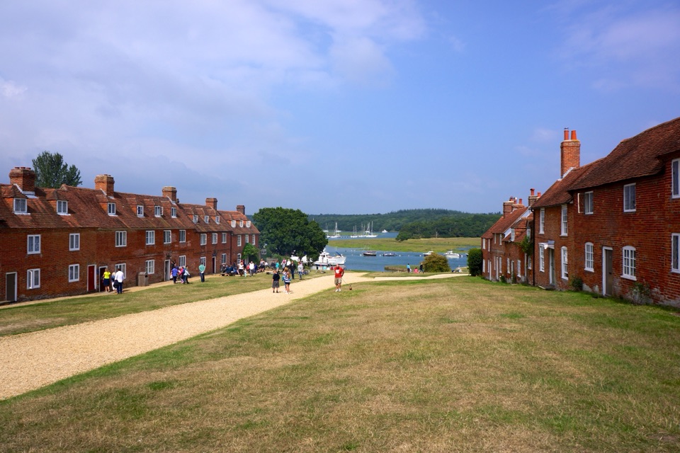 Sight · 4.9 km awayBuckler's HardGeorgian shipyard village where Nelson's warships met the Beaulieu River
 Sight · 5.1 km awayCalshot Activities CentreClimb, ski and sail inside 1918 seaplane hangars on the Solent
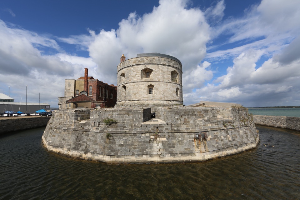 Sight · 5.2 km awayCalshot CastleHenry VIII's round gun tower guarding the Solent, with rooftop views
 Sight · 8.1 km awayBeaulieu – National Motor MuseumOver 280 vehicles telling Britain's motoring story, from carriages to F1
 Sight · 9.4 km awayHatchet PondRare wetland wildlife, mirror-flat sunsets and ponies on the heath
Parkwolf’s New Forest ranking

The audio tour guide for the drive, plus offline maps, trails, and wildlife heatmaps for when the signal drops.