Parking
No formal car park. Parking is very limited on nearby public streets at Walker’s Lane South, Fawley or Chapel Lane.
New Forest National Park, EN
Old mills, WWII traces and open commons on one linked circuit.
Overview
Map & elevation
Plan your hike

The highest, rockiest slopes around here are a summer buffet for grizzly bears.
New Forest Tour Guide
Parkwolf is a GPS audio tour guide for New Forest National Park. As you drive, it chimes in with what’s ahead: hidden gems, upcoming stops, history, geology, and wildlife, right through your car’s speakers.
Recorded for this area
The Garage That Pumped Fuel“Near Mopley Pond, an overgrown concrete base is all that's left of a wartime fuel pump house. During the Second World War, tanks on Badminston Common fed a pipeline to this spot.”
Plays on the road 0.8 km from the trailhead in the Parkwolf New Forest Tour Guide.
More stories near here in the app
“Fantastic app with many points of information… It’s great to just turn on while you’re driving and it gives you an audio tour of the national Park. We love it!!!!”


Trail guide
Tom’s Down is a roughly 6-mile linked loop from Walker’s Lane South through estate land, woodland and open commons. Allow about 3 hours. Mostly level gravel tracks and rights of way make it an easy outing, though muddy patches are likely. The mapped circuit connects a central loop with short branches and returns to the same access. The 3-mile figure describes the central circular section; the wider rights-of-way network extends to 8 miles.
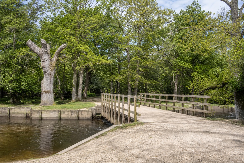
The route crosses Sprat’s Down and Badminston Common, passes Stanswood Mill and skirts Mopley Pond. At Floating Island, an earthwork dam marks a millpond drained in 1866; its bay and sluice are still visible. By Mopley Pond, look for the overgrown concrete base of a Second World War PLUTO pump house, part of the fuel network built to supply Allied forces. The interest is in these scattered traces and the changing mix of tracks, woods and heath, rather than one big viewpoint.
There’s no formal car park or single trailhead. This mapped circuit starts on Walker’s Lane South; Fawley or Langley also work as starting places. On-street parking is very limited. Stay on public rights of way across the estates. Dogs are allowed, but keep them on a lead or under very close control, particularly from 1 March through 31 July for ground-nesting birds.
Wildlife
 28 sightingsRed DeerMost seen around 7 AMSighting map
 10 sightingsWhite-tailed EagleMost seen around 10 AMSighting map
 14 sightingsHarbor SealMost seen around 7 PMSighting map
 176 sightingsEuropean Fallow DeerMost seen around 7 PMSighting map
 93 sightingsWestern Roe DeerMost seen around 7 AMSighting map
 54 sightingsMute SwanMost seen around 6 PMSighting map
Sighting maps show where each species has been reported across New Forest. Wildlife moves, so no sighting is guaranteed.
Keep exploring
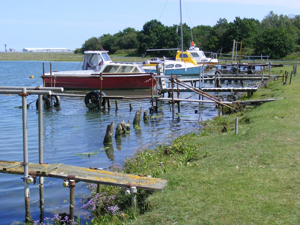 EasyAshlett Creek to Calshot Spit Walk4.5 km · 1.5 hr · 1.7 km awayA level walk from Fawley through creek, marsh and beach.
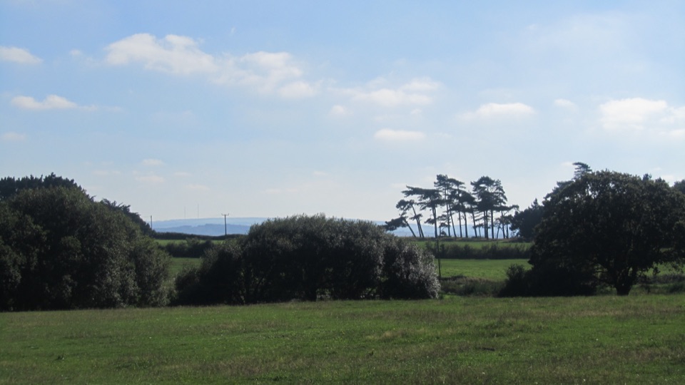 EasyThe Lepe Loop7.2 km · 2.5 hr · 3.3 km awayA coast-to-country circuit with mudflats and a D-Day story.
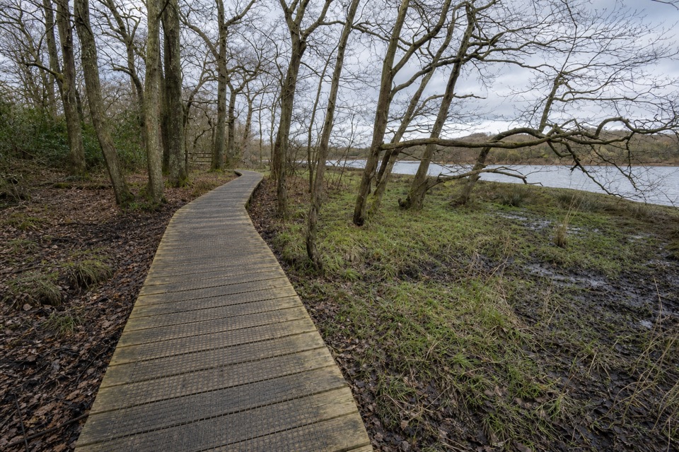 EasyBeaulieu to Buckler’s Hard Walk3.6 km · 1 hr · 6.1 km awayA saltmarsh riverside walk with a shipbuilding village at the end.
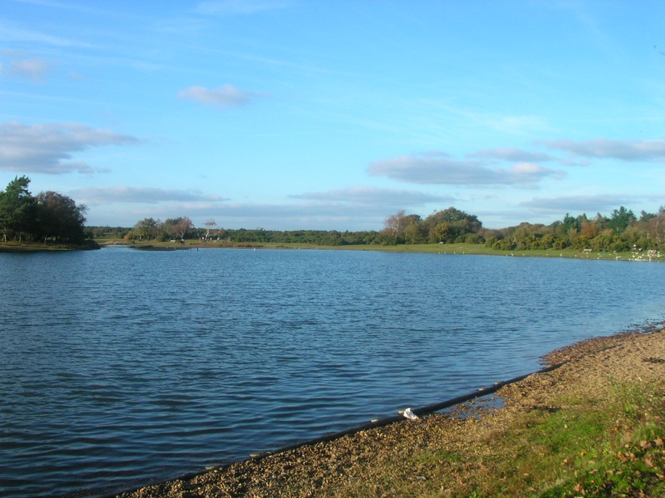 ModerateChapel Stores Walk6 km · 2 hr · 7.5 km awayA level heathland circuit between Hatchet Pond and Beaulieu Letters
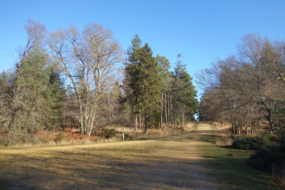 EasyHawkhill Loop2.7 km · 30 min · 9.8 km awayA brief circuit through tall trees on winding forest paths.
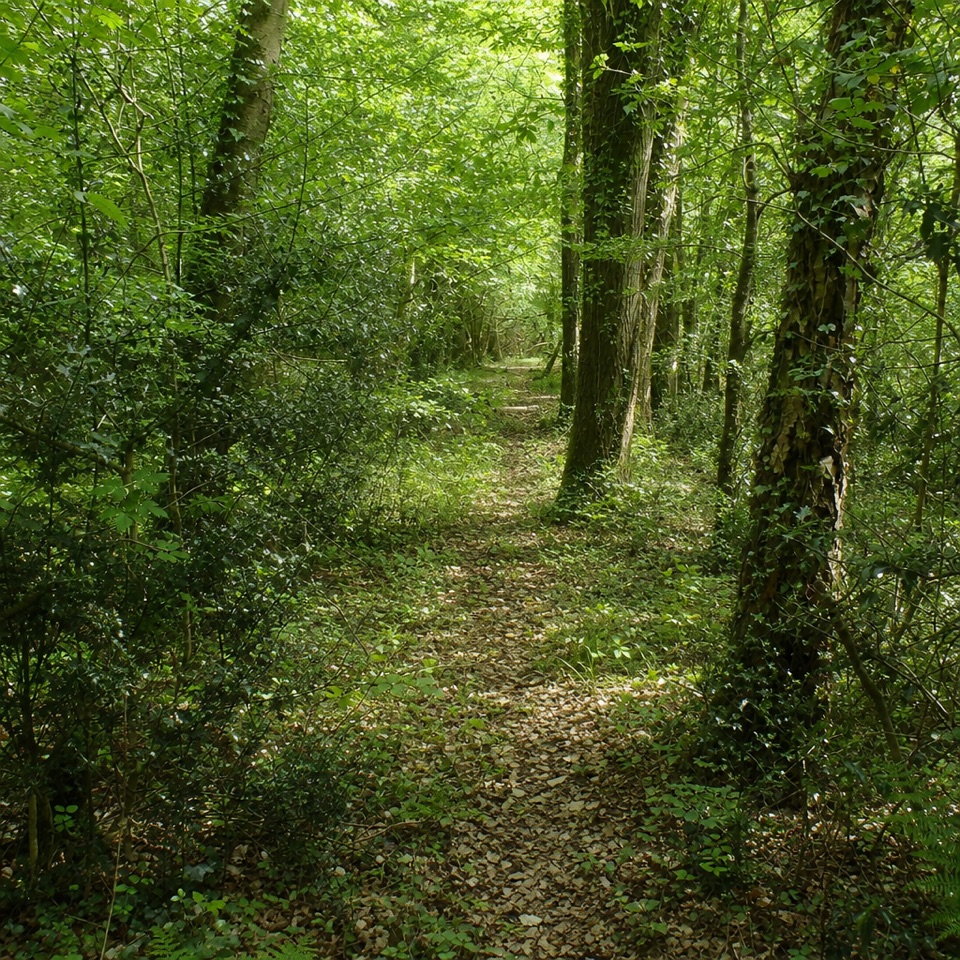 EasyCarters Lane4 km · 1.5 hr · 10.3 km awayA gentle loop through woodland, farm fields and old estate tracks.
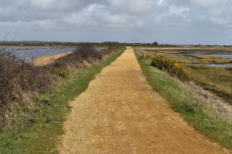 ModerateSea Air Trail8 km · 2.5 hr · 13.3 km awayFive one-way miles of sea wall between Lymington and Keyhaven.
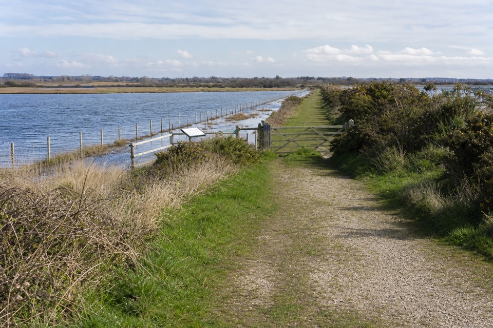 EasyLymington Marshes Rail Trail6 km · 1.5 hr · 13.5 km awayA flat loop from Lymington’s quay streets to its coastal marshes.
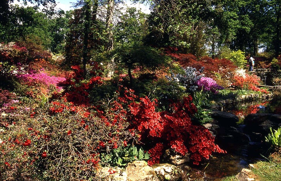 Sight · 2.8 km awayExbury Gardens200 acres of woodland gardens with a steam train through rhododendrons
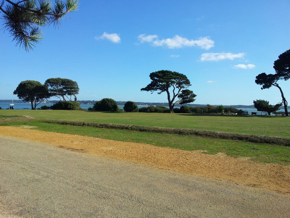 Sight · 3.3 km awayLepe Country ParkSolent shore, wildflower meadows and tangible D-Day remains in one walk
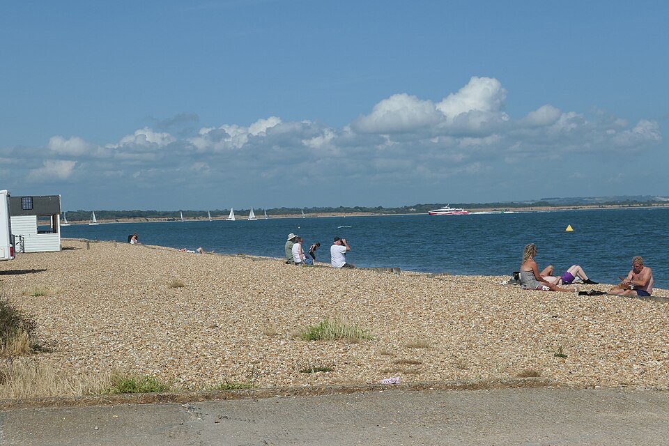 Beach · 3.9 km awayCalshot BeachColoured beach huts, shingle underfoot and big Solent shipping views
 Sight · 4.1 km awayCalshot Activities CentreClimb, ski and sail inside 1918 seaplane hangars on the Solent
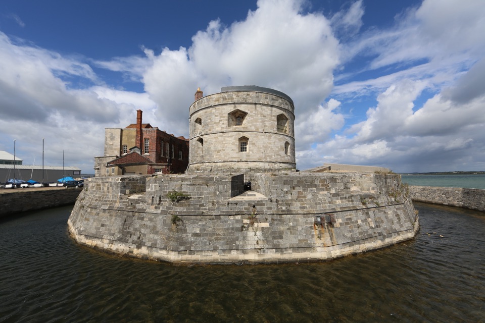 Sight · 4.1 km awayCalshot CastleHenry VIII's round gun tower guarding the Solent, with rooftop views
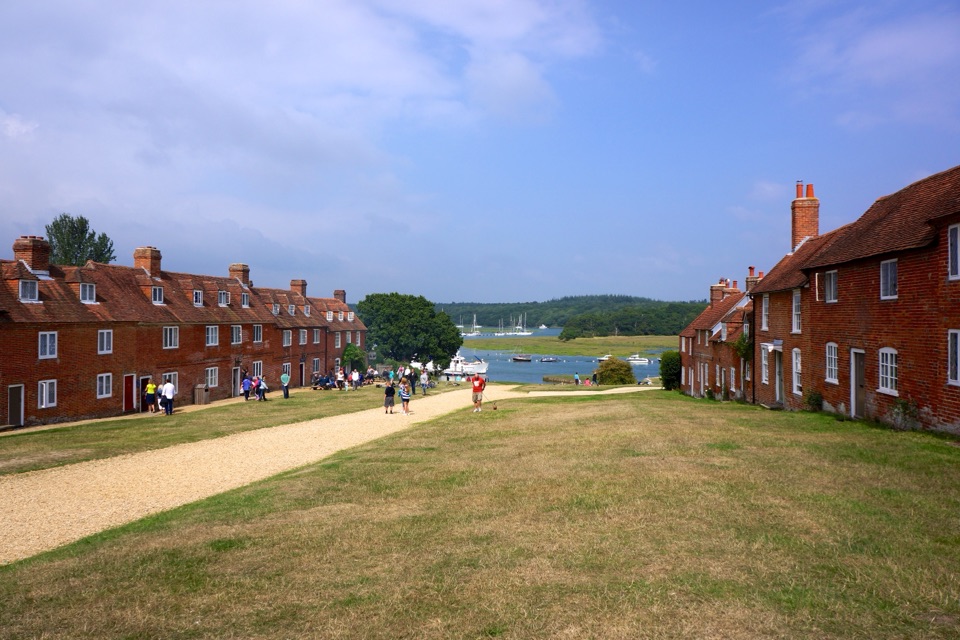 Sight · 4.3 km awayBuckler's HardGeorgian shipyard village where Nelson's warships met the Beaulieu River
 Sight · 6.3 km awayBeaulieu – National Motor MuseumOver 280 vehicles telling Britain's motoring story, from carriages to F1
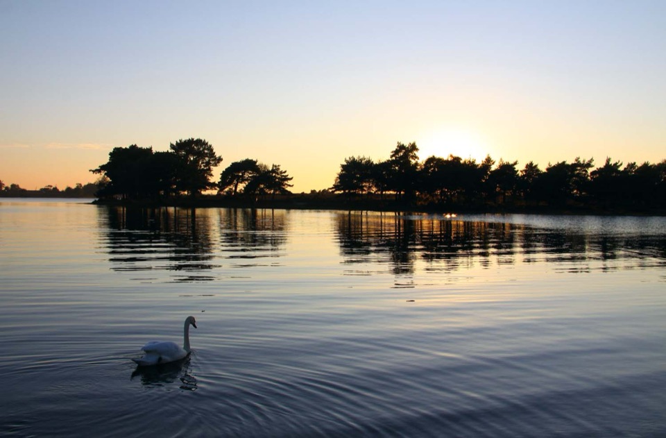 Sight · 8.3 km awayHatchet PondRare wetland wildlife, mirror-flat sunsets and ponies on the heath
Parkwolf’s New Forest ranking

The audio tour guide for the drive, plus offline maps, trails, and wildlife heatmaps for when the signal drops.