Parking
Use the small pullout about seven miles up Cascade River Road from Marblemount; the signed trail climbs sharply from the opposite side of the road. A Forest Service recreation pass is required for each parked vehicle.

North Cascades National Park, WA
A steep switchback climb to a historic summit lookout
Overview
Lookout Mountain Trail is a steep out-and-back to a Forest Service fire lookout on a high North Cascades ridge. It is 9.4 miles round trip from the Cascade River Road pullout, with about 4,500 feet of climbing; allow roughly eight hours with breaks. Come for the lookout and wide Cascade views, but expect a hard climb with a late payoff. The mapped line shows the uphill corridor once; you return the same way.
 Parkwolf’s verdictIs this the climb for you?
Map & elevation
Plan your hike

The highest, rockiest slopes around here are a summer buffet for grizzly bears.
North Cascades Tour Guide
Parkwolf is a GPS audio tour guide for North Cascades National Park. As you drive, it chimes in with what’s ahead: hidden gems, upcoming stops, history, geology, and wildlife, right through your car’s speakers.
See the North Cascades audio tourRecorded for this trailhead
Monogram Lake and Lookout Mountain“You're approaching the trailhead for Monogram Lake and Lookout Mountain, two steep, full-day hikes.”
Plays as you drive up to this trailhead in the Parkwolf North Cascades Tour Guide.
More stories near here in the app
“Fantastic app with many points of information… It’s great to just turn on while you’re driving and it gives you an audio tour of the national Park. We love it!!!!”


Trail guide
Steep switchbacks dominate the first 2.5 miles through forest. You pass creek crossings and the first campsites around mile 2. At the signed junction at 2.8 miles, turn left for Lookout Mountain. The right branch is the separate Monogram Lake hike, which continues into North Cascades National Park.
The Lookout branch stays in the forest for about three-quarters of a mile after the fork, then breaks into high, open meadows. The last 1.2 miles keeps climbing through those steep slopes to the lookout. The scenery opens late, so the main reward comes near the top rather than along the long lower climb.
The current lookout was built in 1962, replacing a 1929 structure. From the summit you can pick out Teebone Ridge, Hidden Lake Peak, Eldorado Peak and other icy Cascade peaks. For a photo, include part of the lookout deck or railing with the mountain view so the frame shows both the structure and how far the panorama reaches. Keep to two people per side of the catwalk.
The small trailhead pullout is about seven miles up Cascade River Road from Marblemount; the signed trail climbs sharply from the opposite side of the road. The Forest Service requires a recreation pass for each parked vehicle. Leashed dogs are allowed on the Lookout branch; pets are prohibited once you enter the park on the Monogram Lake branch. The Forest Service says the route is usually snow-free by late July, and access still depends on road and trail conditions.
Wildlife
 101 sightingsMountain GoatMost seen around 6 PMSighting map
 70 sightingsBlack BearMost seen around 8 PMSighting map
 20 sightingsMule DeerMost seen around 7 PMSighting map
 77 sightingsSooty GrouseMost seen around 6 AMSighting map
 23 sightingsWhite-tailed PtarmiganMost seen around 6 PMSighting map
 75 sightingsWestern ToadMost seen around 8 PMSighting map
Sighting maps show where each species has been reported across North Cascades. Wildlife moves, so no sighting is guaranteed.
Keep exploring
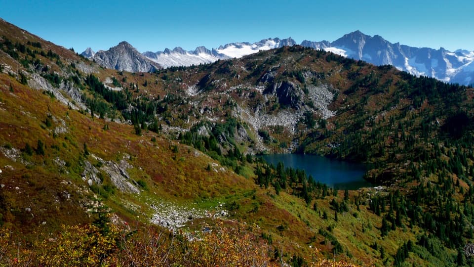 ChallengingMonogram Lake Trail10 mi · 8 hr · At the trailheadA steep 10-mile return hike to a lake beneath Little Devil Peak
 ChallengingHidden Lake Trail9 mi · 8 hr · 3.7 mi awayA steep climb to a tiny lookout above a hidden alpine lake.
 ChallengingThornton Lakes Trail9.1 mi · 6 hr · 8.2 mi awayA proper alpine lake waits beyond the long forest climb.
 EasySterling Munro Trail0.2 mi · 12 min · 9 mi awayA brief wooden walk opens onto a Picket Range viewpoint.
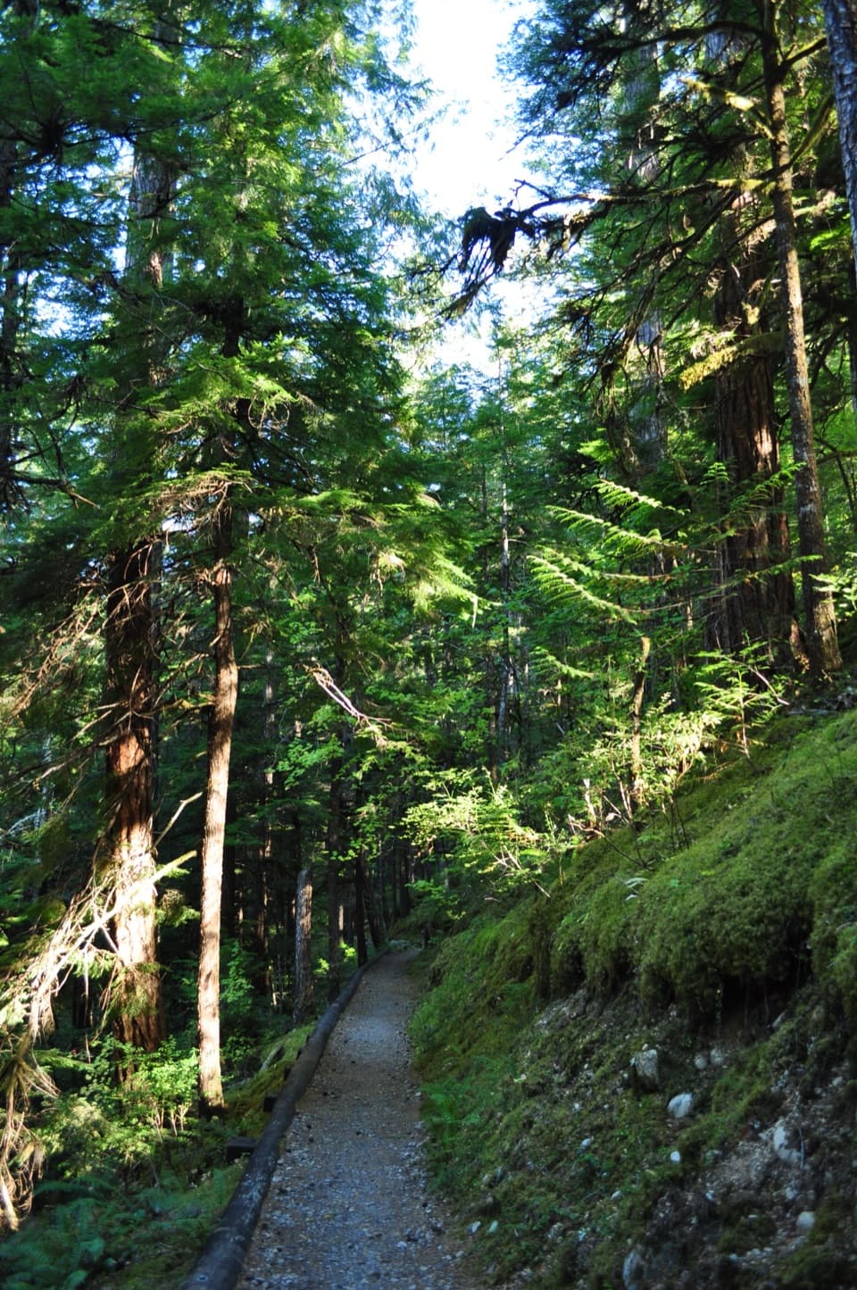 EasyRiver Loop Trail1.8 mi · 45 min · 9 mi awayA forest loop to a gravel bar with broad Skagit River views.
 EasyLower Newhalem Creek Trail0.6 mi · 30 min · 9.2 mi awayCreekside walk to a cedar glade still finding its way back.
 EasyRock Shelter Trail0.6 mi · 30 min · 9.3 mi awayA short accessible walk to a 1,400-year-old hunting camp.
 EasyTo Know a Tree Nature Trail1 mi · 45 min · 9.4 mi awayTree signs turn this easy riverside walk into a small nature lesson.
 Sight · 5.3 mi awayNorth Cascades National Park Entrance SignA boulder monument marks the Highway 20 approach.
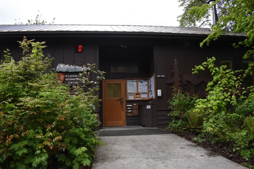 Visitor center · 7.1 mi awayWilderness Information CenterGet permits and trip advice before an overnight backcountry trip.
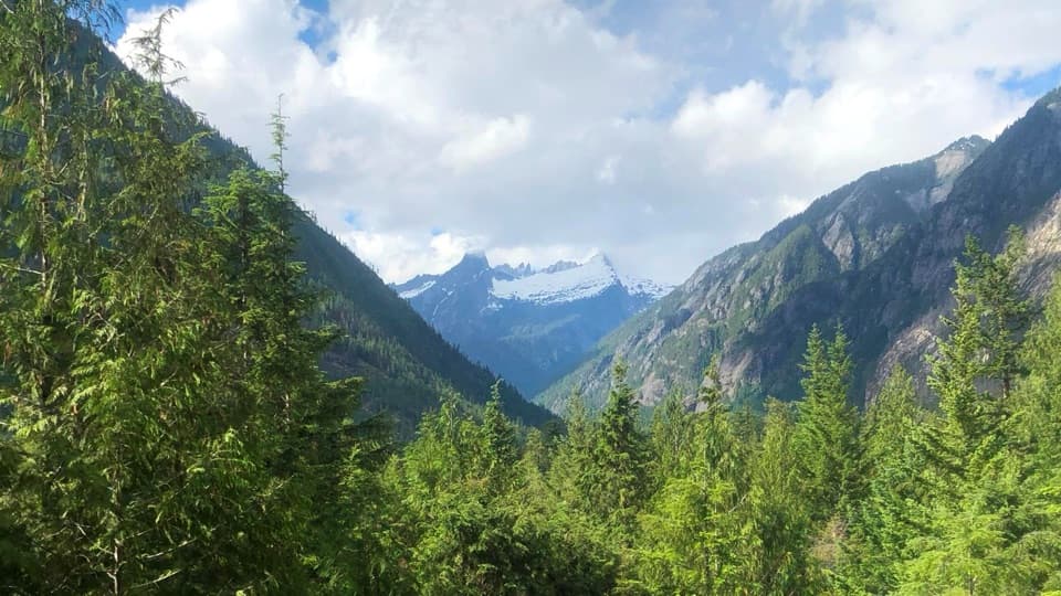 Sight · 9 mi awaySterling Munro ViewpointA short, accessible boardwalk opens on the Picket Range.
 Visitor center · 9 mi awayNorth Cascades Visitor CenterA relief map makes the peaks and roads easier to place.
 Sight · 9.3 mi awayNewhalem Creek PowerhouseA 1921 powerhouse that helped build Newhalem and Gorge Dam.
 Campground · 9.4 mi awayNewhalem Creek CampgroundA riverside base with old-growth loops and Newhalem within walking reach.
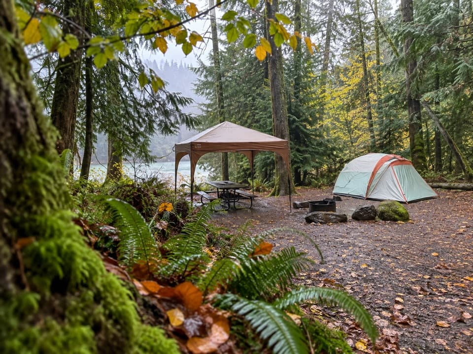 Campground · 9.4 mi awayGoodell Creek CampgroundSleep under old-growth trees with the Skagit close by.
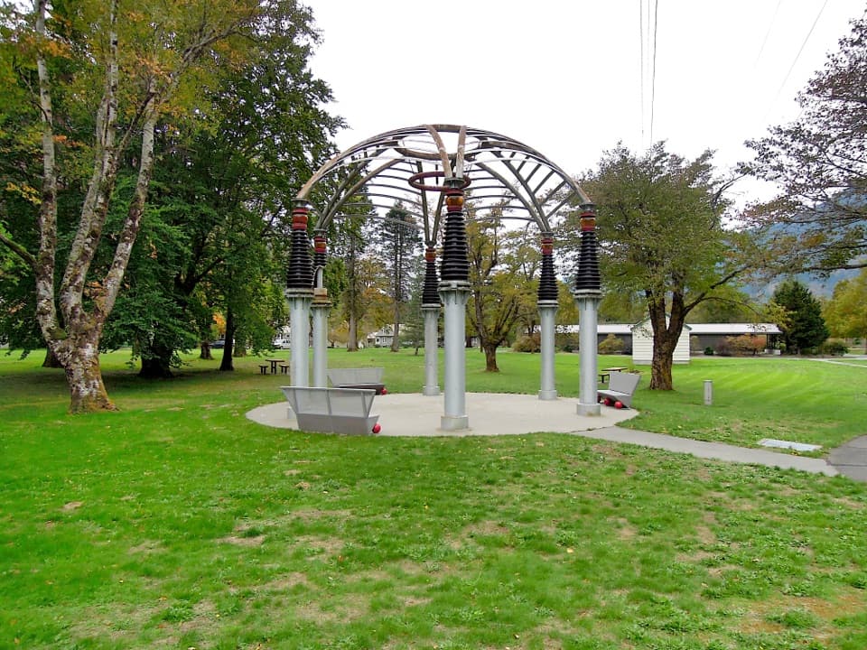 Sight · 9.6 mi awayTemple of PowerA gazebo built from hardware that once helped power Seattle.
Parkwolf’s North Cascades ranking
The audio tour guide for the drive, plus offline maps, trails, and wildlife heatmaps for when the signal drops.




