Parking
Park in the North Cascades Visitor Center lot off SR 20 at milepost 120. The boardwalk begins just outside the building’s northwest corner.

North Cascades National Park, WA
A brief wooden walk opens onto a Picket Range viewpoint.
Overview
Map & elevation
Plan your hike

The highest, rockiest slopes around here are a summer buffet for grizzly bears.
North Cascades Tour Guide
Parkwolf is a GPS audio tour guide for North Cascades National Park. As you drive, it chimes in with what’s ahead: hidden gems, upcoming stops, history, geology, and wildlife, right through your car’s speakers.
See the North Cascades audio tourRecorded for this trailhead
North Cascades Visitor Center and Picket Range View“Up ahead is the North Cascades Visitor Center, a useful stop for making sense of the mountains around you. Start with the large relief map, then ask at the information desk for help matching a walk to the time you have.”
Plays as you drive up to this trailhead in the Parkwolf North Cascades Tour Guide.
More stories near here in the app
“Fantastic app with many points of information… It’s great to just turn on while you’re driving and it gives you an audio tour of the national Park. We love it!!!!”


Trail guide
The Sterling Munro Trail is an accessible out-and-back boardwalk through thick forest, from the northwest corner of the North Cascades Visitor Center to a Picket Range viewpoint. The complete mapped walk is about 0.15 mile round trip, or roughly 0.08 mile each way. The boardwalk itself is listed at 330 feet, so you may see shorter distance figures. Allow 10 to 15 minutes for the walk and a look around. It’s easy, near-level, and more of a good stop than a half-day hike.
The trees part for jagged Picket Range peaks above the forested valley. Mount Ross still shows the pale scar left by the 2015 Goodell Fire, and you can glimpse Terror Glacier—the only glacier visible along SR 20 without a strenuous hike or climb. Frame the peaks with the trees to show how suddenly the view opens after the enclosed approach. The trail is named for Sanford Sterling Munro Jr., an aide to Senator Henry Jackson. Bring binoculars if you want to scan distant slopes for mountain goats; listen for Pacific wrens, varied thrushes and white-crowned sparrows.
The boardwalk is wheelchair accessible and has benches and interpretive information at the overlook. Restrooms and drinking water are inside the Visitor Center, a separate stop. Dogs are allowed on this trail in Ross Lake National Recreation Area on a leash no longer than six feet. The view is the whole point, so low cloud can hide the peaks; if you’re after a longer hike, pick another trail.
Wildlife
 101 sightingsMountain GoatMost seen around 6 PMSighting map
 70 sightingsBlack BearMost seen around 8 PMSighting map
 20 sightingsMule DeerMost seen around 7 PMSighting map
 77 sightingsSooty GrouseMost seen around 6 AMSighting map
 23 sightingsWhite-tailed PtarmiganMost seen around 6 PMSighting map
 75 sightingsWestern ToadMost seen around 8 PMSighting map
Sighting maps show where each species has been reported across North Cascades. Wildlife moves, so no sighting is guaranteed.
Keep exploring
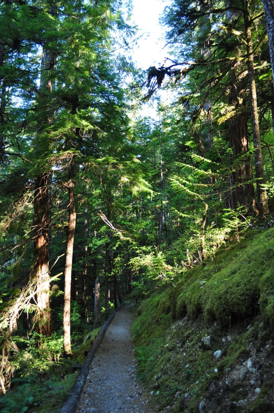 EasyRiver Loop Trail1.8 mi · 45 min · At the trailheadA forest loop to a gravel bar with broad Skagit River views.
 EasyTo Know a Tree Nature Trail1 mi · 45 min · 0.4 mi awayTree signs turn this easy riverside walk into a small nature lesson.
 EasyRock Shelter Trail0.6 mi · 30 min · 0.6 mi awayA short accessible walk to a 1,400-year-old hunting camp.
 EasyLower Newhalem Creek Trail0.6 mi · 30 min · 0.6 mi awayCreekside walk to a cedar glade still finding its way back.
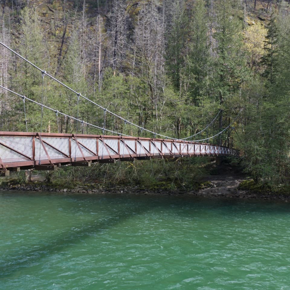 EasyTrail of the Cedars Nature Walk0.5 mi · 30 min · 1 mi awayCross the suspension bridge for an easy old-growth river loop.
 EasyLadder Creek Falls Trail0.5 mi · 30 min · 1.3 mi awayA half-mile waterfall loop with a hydroelectric past.
 ChallengingThornton Lakes Trail9.1 mi · 6 hr · 2.8 mi awayA proper alpine lake waits beyond the long forest climb.
 EasyGorge Overlook Trail0.5 mi · 45 min · 3.5 mi awayA short loop with a lake, a dam and a waterfall view.
 Visitor center · At the trailheadNorth Cascades Visitor CenterA relief map makes the peaks and roads easier to place.
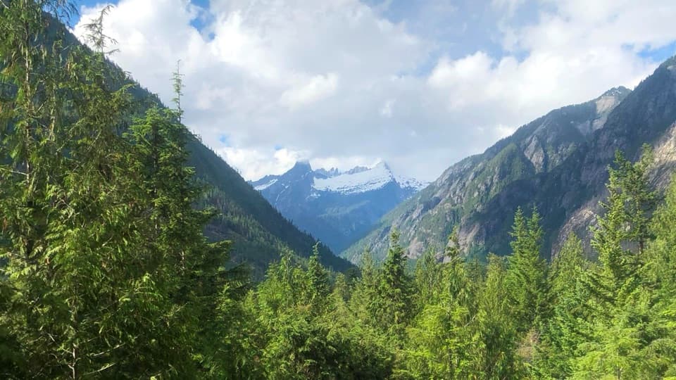 Sight · At the trailheadSterling Munro ViewpointA short, accessible boardwalk opens on the Picket Range.
 Campground · 0.4 mi awayNewhalem Creek CampgroundA riverside base with old-growth loops and Newhalem within walking reach.
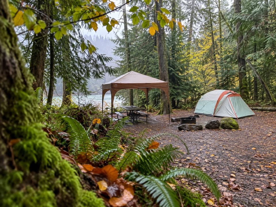 Campground · 0.4 mi awayGoodell Creek CampgroundSleep under old-growth trees with the Skagit close by.
 Campground · 0.7 mi awayLower Goodell Group CampgroundA shaded Goodell Creek basecamp made for a whole group.
 Sight · 0.8 mi awayNewhalem Creek PowerhouseA 1921 powerhouse that helped build Newhalem and Gorge Dam.
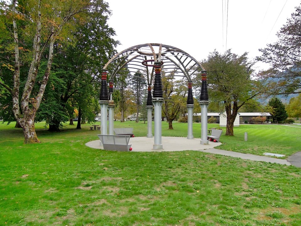 Sight · 1 mi awayTemple of PowerA gazebo built from hardware that once helped power Seattle.
 Visitor center · 1 mi awaySkagit Information CenterHydroelectric history and local help on the road through Newhalem.
Parkwolf’s North Cascades ranking

The audio tour guide for the drive, plus offline maps, trails, and wildlife heatmaps for when the signal drops.




