Thunder Knob Trail in North Cascades National Park

#6 of 88 trails in North Cascades

North Cascades National Park, WA

Thunder Knob Trail

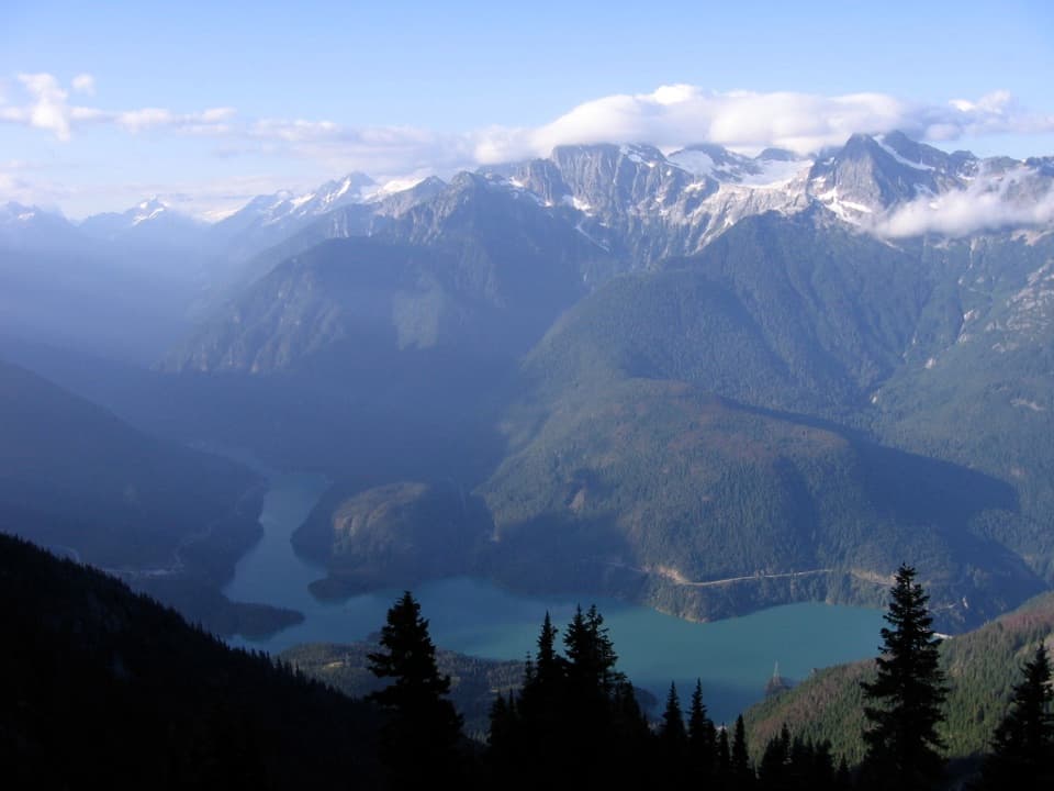
Take the steady climb for broad views over turquoise Diablo Lake.

Photo: National Park Service
Length
3.8mi
Time
2.5hr
Elev. change
554ft
Difficulty
Moderate
  • Dogs allowed
  • High point 1,837 ft

Hear the audio tour

Colonial Creek: Lake Access and Thunder Knob

Overview

About Thunder Knob Trail

Why go

  • Turquoise lake and peak views from several summit benches.
  • A rare change of scenery: flood fan, mossy forest and dry ridge.

Heads up

  • Rocky, uneven former creek bed; cairns matter.
  • Steady climbing with about 680 feet of gain, plus seasonal footbridges.

Map & elevation

The route

Loading the North Cascades map
Full map
Elevation1,283–1,837 ft
TrailheadThunder Knob Trailhead, Colonial Creek North Campground access48.69106, -121.09971
Keep this map with you offline in the Parkwolf app

Plan your hike

Before you go

Parking

At State Route 20 milepost 130, follow signs for Colonial Creek. The signed Thunder Knob access is on the north side by the campground. Park instructions also direct hikers to roadside spaces or the large lot beyond the Colonial Creek South entrance building; from the South lot, reach the signed north-side start on foot and follow posted access signs.

Safety

The old creek fan is rocky and uneven; follow the cairns. Seasonal footbridges cross creek branches, so check that the crossing is available before setting out.

7 active North Cascades alerts

  • CautionDiablo Lake launch unusable for most powerboatsMentions Diablo Lake, referenced in this guideSilt accumulation makes the Diablo Lake boat launch at Colonial Creek South Campground unusable for launching most powerboats.Official details
  • ClosureWildfire closures and Stehekin fire advisoryWildfire-related closures remain in effect; stay out of all closed trails, camps, and areas.Official details
See all 7 alerts
A park ranger sits on a dash-mounted phone, talking, as Parkwolf’s Tour Guide plays “Army Cutworm Moths: A Grizzly Bear Buffet” on Grand Loop Road below Dunraven Pass in Yellowstone
Parkwolf Tour GuideThe highest, rockiest slopes around here are a summer buffet for grizzly bears.

North Cascades Tour Guide

Your drive to Thunder Knob Trail, narrated.

Parkwolf is a GPS audio tour guide for North Cascades National Park. As you drive, it chimes in with what’s ahead: hidden gems, upcoming stops, history, geology, and wildlife, right through your car’s speakers.

See the North Cascades audio tour

Recorded for this trailhead

Colonial Creek: Lake Access and Thunder Knob
0:00 / 0:35
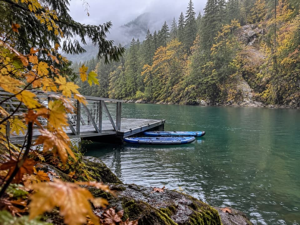
“You're approaching Colonial Creek, where old-growth forest meets Diablo Lake. Stop here to get down to the water: the South Campground has a boat launch and a wheelchair-accessible fishing pier.”

Plays as you drive up to this trailhead in the Parkwolf North Cascades Tour Guide.

More stories near here in the app

  • An Alder's Hidden Partners
  • Diablo Lake Overlook
  • A Squirrel's Cone Store
  • Diablo Dam: Across the Crest
  • 83 audio storiesacross North Cascades’s roads, triggered by GPS as you drive
  • Wildlife heatmapsfor Mountain Goat, Black Bear, Mule Deer, and 10 more
  • Works offlinemaps, 88 trails, 76 places, and audio download before you lose signal
  • CarPlay readysimple controls built for the drive
★★★★★
“Fantastic app with many points of information… It’s great to just turn on while you’re driving and it gives you an audio tour of the national Park. We love it!!!!”
JMJamesApp Store review
Download Parkwolf on the App StoreGet Parkwolf on Google Play

4.7 from 8,600+ ratings

Trail guide

Hiking Thunder Knob Trail

Is this the right hike?Thunder Knob is an out-and-back from Colonial Creek to a rounded knoll above Diablo Lake.

Thunder Knob is an out-and-back from Colonial Creek to a rounded knoll above Diablo Lake. Plan around 3.8 miles round trip from the signed campground access, following the main trail to the summit area and back. Published estimates range from about 3.3 to 3.8 miles; use the longer figure for planning. Allow about two and a half hours, with time to sit at the benches. You get a good stretch of forest and a proper climb, but the payoff is that wide lake-and-peak view without committing to a high-country pass.

Across the old creek bedFrom the signed north-side access, the route passes through the Colonial Creek campground to…

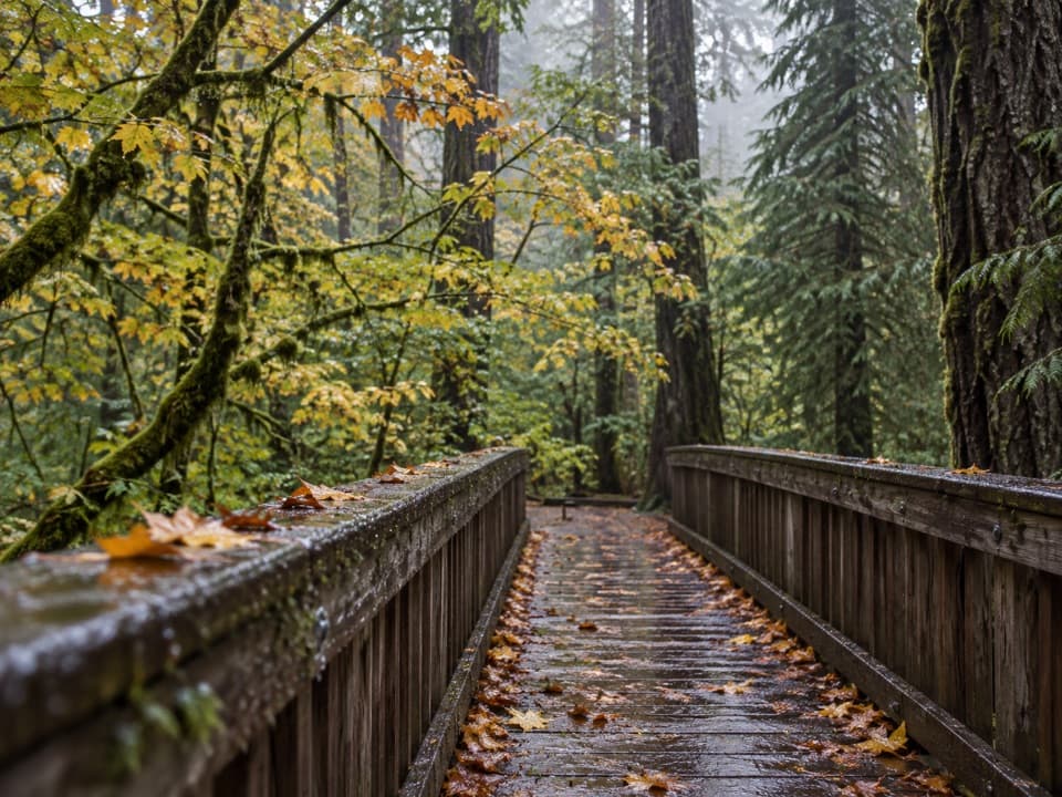
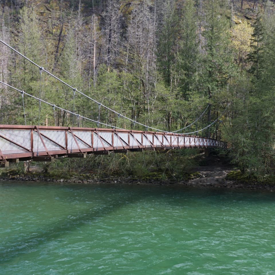
From the signed north-side access, the route passes through the Colonial Creek campground to several seasonal footbridges over creek branches. Soon you reach a broad, open fan of stones and woody debris. Floods in 2003 and 2006 shifted Colonial Creek away from this old channel, and the trail now crosses the former creek bed. The footing is loose and uneven here. Cairns mark the route across the rock, so slow down and keep an eye out for them rather than cutting across the brush.

A cool stretch of forestThe route changes quickly after the creek fan: shady, moist forest replaces the exposed rock.

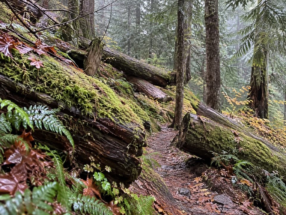
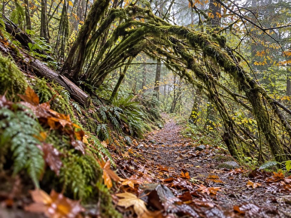
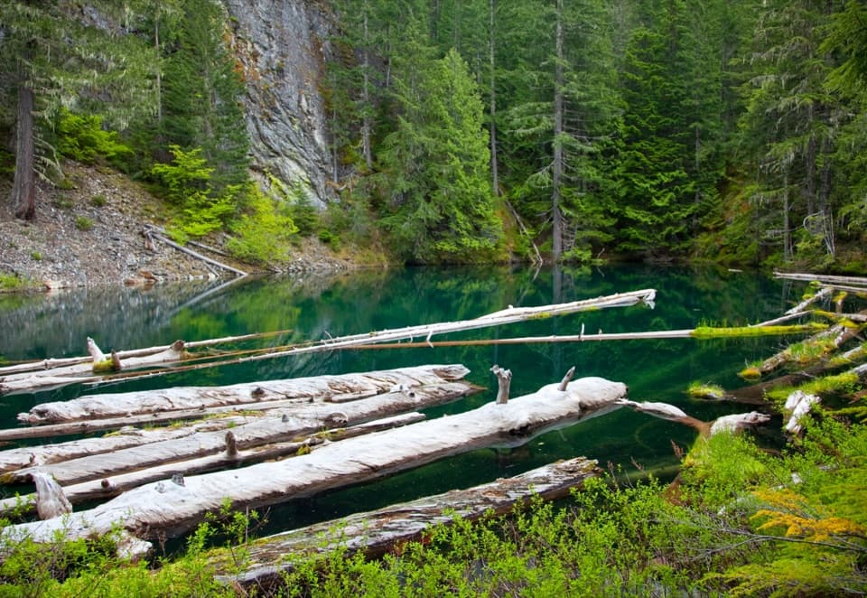
The route changes quickly after the creek fan: shady, moist forest replaces the exposed rock. Moss covers the boulders, and a small clear creek crosses the trail under Douglas fir, western redcedar and western hemlock. White dogwood flowers brighten the woods in spring; vine maple turns orange in fall. It’s a welcome cool stretch before the climb opens up again.

The first bench and the dry ridgeAt about a mile, the trail reaches a sunny clearing with a bench and a view of snowy Colonial…

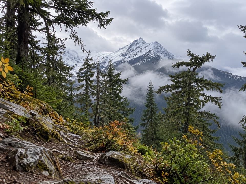
At about a mile, the trail reaches a sunny clearing with a bench and a view of snowy Colonial Peak. From there it climbs through knobby, dry ground with lodgepole pines and low kinnickinnick, then skirts a small pond and a marsh before the final gentle rise. The marsh can hold reflective water earlier in the season and dry later. This upper section is more open and sun-baked than the forest below.

Diablo Lake from the topAt the knoll, several viewpoints and benches look over Diablo Lake and the surrounding peaks:…

At the knoll, several viewpoints and benches look over Diablo Lake and the surrounding peaks: Davis Peak to the west, Colonial and Pyramid peaks to the south, and Jack Mountain to the northeast. A short side spur reaches the lake-facing benches; return to the main tread after the view. The lake’s striking blue-green color comes from fine glacial rock flour suspended in the water. The color can look bluer earlier in the season and greener later. Diablo Dam, visible in the distance, was completed in 1930 and was then the world’s tallest dam. From the benches, leave a little forest or shoreline in the frame so the lake’s scale shows.

Access and what to bringThe access is at Colonial Creek off State Route 20 near milepost 130.

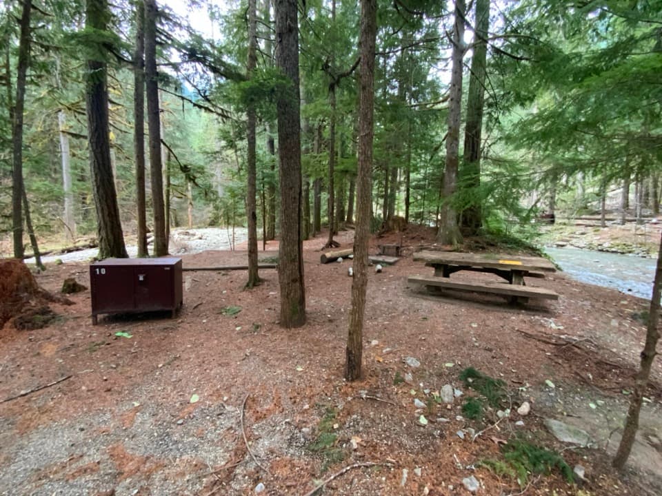
The access is at Colonial Creek off State Route 20 near milepost 130. The signed start is on the highway’s north side by the campground; park instructions also direct hikers to roadside spaces or the large lot beyond the Colonial Creek South entrance building. If you use the South lot, allow time to reach the signed north-side start on foot and follow the posted access signs. The route is hiker-only, and leashed pets are allowed. The seasonal footbridges may be removed outside the summer hiking season, so check the crossing before setting out. Bring water and snacks for the hike; campground drinking water and restrooms are available near the access.

Wildlife

Wildlife in North Cascades

All North Cascades wildlife maps

Sighting maps show where each species has been reported across North Cascades. Wildlife moves, so no sighting is guaranteed.

Keep exploring

Near Thunder Knob Trail

See it all on the map

Trails that start nearby

Places near the trailhead

Parkwolf’s North Cascades ranking

Top-rated trails in North Cascades

All 88 trails
  1. 1Sahale Arm TrailChallenging · 11.8 mi
  2. 2Cascade Pass TrailModerate · 7.4 mi
  3. 3Heather–Maple Pass LoopChallenging · 7.2 mi
  4. 4Hidden Lake TrailChallenging · 9 mi
  5. 5Copper Ridge / Chilliwack River LoopChallenging · 33.5 mi
  6. 7Trail of the Cedars Nature WalkEasy · 0.5 mi

Take Parkwolf to North Cascades.

The audio tour guide for the drive, plus offline maps, trails, and wildlife heatmaps for when the signal drops.

4.7 from 8,600+ ratings

Download Parkwolf on the App StoreGet Parkwolf on Google Play