Copper Ridge / Chilliwack River Loop in North Cascades National Park

#5 of 88 trails in North Cascades

North Cascades National Park, WA

Copper Ridge / Chilliwack River Loop

Ridge meadows, river fords, and a cable car on one big loop.

Photo: National Park Service
Length
33.5mi
Time
1.1days
Elev. change
3,537ft
Difficulty
Challenging
  • Loop
  • No dogs
  • High point 5,801 ft
Parkwolf audio tour83 stories across North Cascades’s roads

Overview

About Copper Ridge / Chilliwack River Loop

Why go

  • Open ridge meadows and expansive North Cascades views
  • A rare self-pulled cable car over the Chilliwack River
  • A striking shift from high country to old-growth river forest

Heads up

  • A two- to three-night commitment with long, steep climbs
  • River fords, dry stretches and rough tread demand backcountry experience
Copper Ridge / Chilliwack River Loop is about a 34-mile wilderness circuit from Hannegan Pass Trailhead. It climbs over Hannegan Pass, follows the open Copper Ridge meadows, drops into the Chilliwack River valley, then climbs back to Boundary Camp and retraces the shared approach to the same trailhead. The National Park Service lists 33.5 miles; other route descriptions put it close to 34, so plan on roughly 34 miles. Most backpackers take two or three nights. Choose it for the dramatic change from high, sunny ridge to remote river forest, and go only if you're comfortable with steep climbs, rough tread, crossings, and carrying an overnight load. Hannegan Pass itself is a much shorter out-and-back, but it doesn't include the ridge and river loop.
Parkwolf’s verdictIs this the hike for you?

Map & elevation

The route

Loading the North Cascades map
Full map
Elevation2,264–5,801 ft
TrailheadHannegan Pass Trailhead48.91020, -121.59170
Keep this map with you offline in the Parkwolf app

Plan your hike

Before you go

Parking

Hannegan Pass Trailhead at the end of Hannegan Pass Road (USFS Road 32), reached from State Route 542. The lot holds about 30 vehicles with additional shoulder parking. A Northwest Forest or America the Beautiful pass is required. Vault toilet and shelter at the trailhead.

Best time to go

An overnight stay inside the park requires a backcountry permit, and the ridge camps are limited. Dogs aren't allowed at or beyond Boundary Camp, so pets aren't allowed on this full loop. Campfires are prohibited on Copper Ridge and at Boundary Camp. The high country is commonly snow-covered into July; early travel can mean steep snowfields that require ice-axe skills, and the river fords are most manageable when water is low. The trailhead is at the end of Hannegan Pass Road (USFS Road 32), reached from State Route 542. Parking holds about 30 vehicles plus shoulder spaces; a Northwest Forest or America the Beautiful pass is required. A vault toilet and shelter are at the trailhead.

Safety

Strenuous, remote route. Steep snowfields can persist into July and may require ice-axe skills. The ridge is exposed, hot and dry, with long water gaps. The steep 2,400-foot descent ends at braided Chilliwack channels and an Indian Creek ford; high water can make crossings unsafe. Dogs are prohibited at or beyond Boundary Camp, campfires are prohibited on Copper Ridge and at Boundary Camp, and overnight stays in the park require a backcountry permit.

7 active North Cascades alerts

  • ClosureWildfire closures and Stehekin fire advisoryWildfire-related closures remain in effect; stay out of all closed trails, camps, and areas.Official details
  • CautionCampfires banned across the park complexCampfires and other ash-producing fires are banned throughout the North Cascades National Park Service Complex.Official details
See all 7 alerts
A park ranger sits on a dash-mounted phone, talking, as Parkwolf’s Tour Guide plays “Army Cutworm Moths: A Grizzly Bear Buffet” on Grand Loop Road below Dunraven Pass in Yellowstone
Parkwolf Tour GuideThe highest, rockiest slopes around here are a summer buffet for grizzly bears.

North Cascades Tour Guide

Your drive to Copper Ridge / Chilliwack River Loop, narrated.

Parkwolf is a GPS audio tour guide for North Cascades National Park. As you drive, it chimes in with what’s ahead: hidden gems, upcoming stops, history, geology, and wildlife, right through your car’s speakers.

See the North Cascades audio tour
  • 83 audio storiesacross North Cascades’s roads, triggered by GPS as you drive
  • Wildlife heatmapsfor Mountain Goat, Black Bear, Mule Deer, and 10 more
  • Works offlinemaps, 88 trails, 76 places, and audio download before you lose signal
  • CarPlay readysimple controls built for the drive
★★★★★
“Fantastic app with many points of information… It’s great to just turn on while you’re driving and it gives you an audio tour of the national Park. We love it!!!!”
JMJamesApp Store review
Download Parkwolf on the App StoreGet Parkwolf on Google Play

4.7 from 8,600+ ratings

Trail guide

Hiking Copper Ridge / Chilliwack River Loop

Over Hannegan Pass and up the ridgeThe first 4.

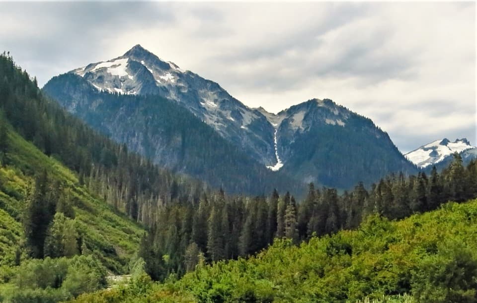
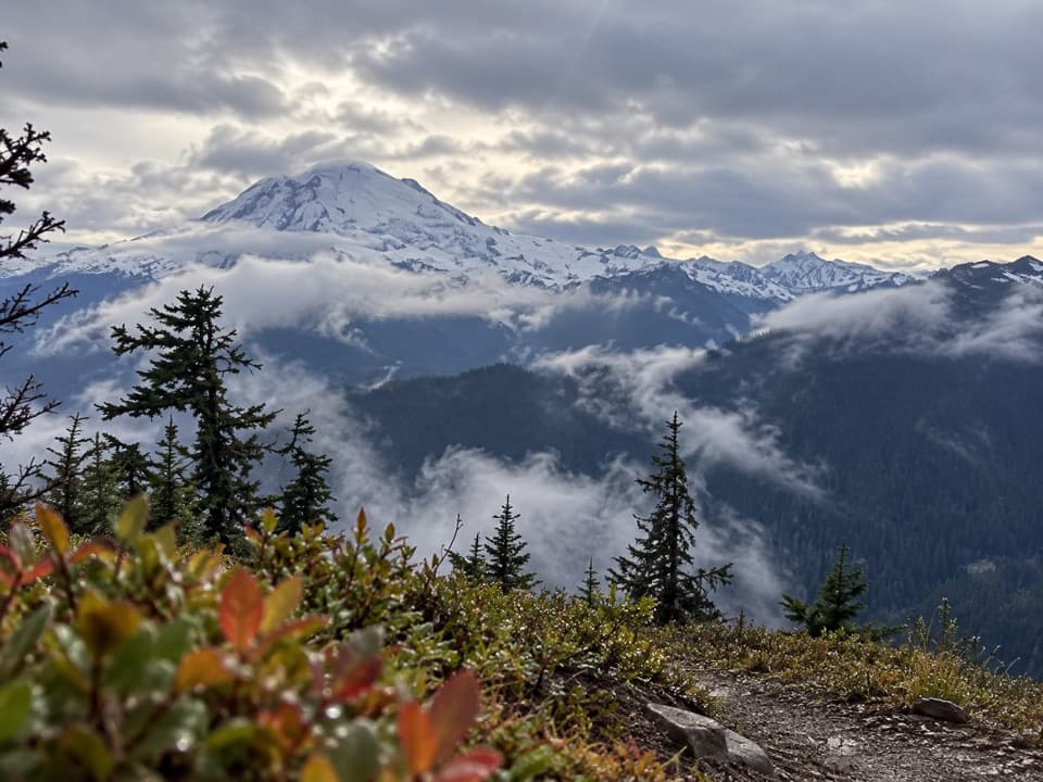
The first 4.2 miles climb steadily through silver fir and avalanche clearings to Hannegan Pass, where Ruth Mountain fills the view. From there, the trail drops quickly to Boundary Camp at about mile 5.1, just inside the park, where the two sides of the loop divide. Follow the clockwise route up Copper Ridge. The climb steepens and the trail narrows; it can be brushy. Silesia Camp is at mile 8.1, with the Egg Lake junction just beyond. After the snow melts, Silesia has no water. Egg Lake is a short descent from the junction and the best refill before the ridge.

The high countryThe ridge gives you several miles of open subalpine meadow and long views across the North…

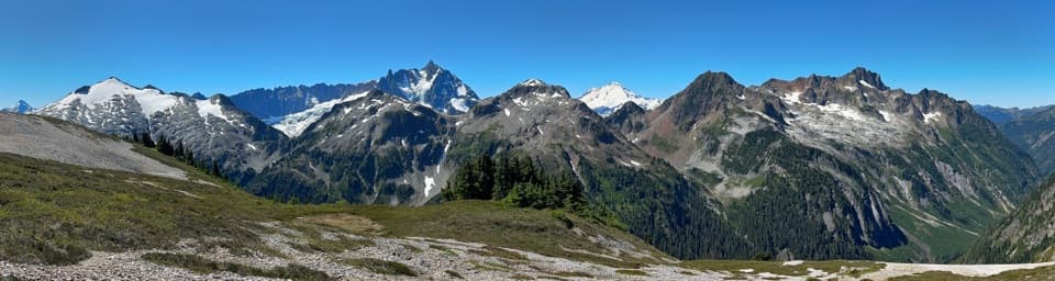
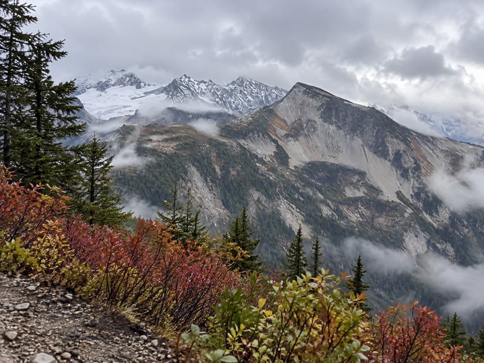
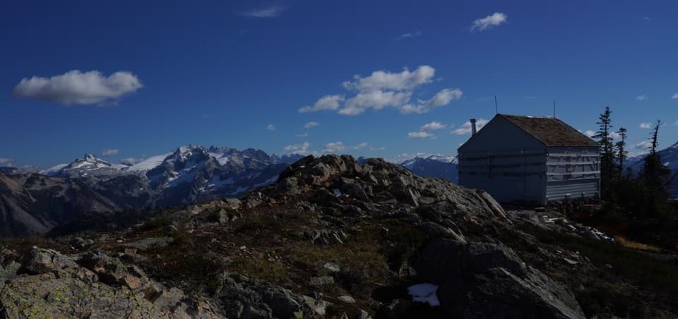
The ridge gives you several miles of open subalpine meadow and long views across the North Cascades. Copper Mountain Lookout sits near mile 9.9 at about 6,260 feet. The structure is a landmark, but the real reward is the wide view; at the lookout, put the wildflower meadow in the foreground so the ridgeline doesn't disappear into a wall of peaks. Stay on the main tread. The ground around Egg and Copper Lakes is fragile and recovering from past overuse, so netting and stakes mark areas to leave alone. This stretch is hot and dry in summer: water is scarce between Boundary Camp and Egg Lake, and there's no reliable source for several miles after Copper Lake until the river.

Down to the ChilliwackPast Copper Lake, the trail loses about 2,400 feet in five miles on a steep descent to the…

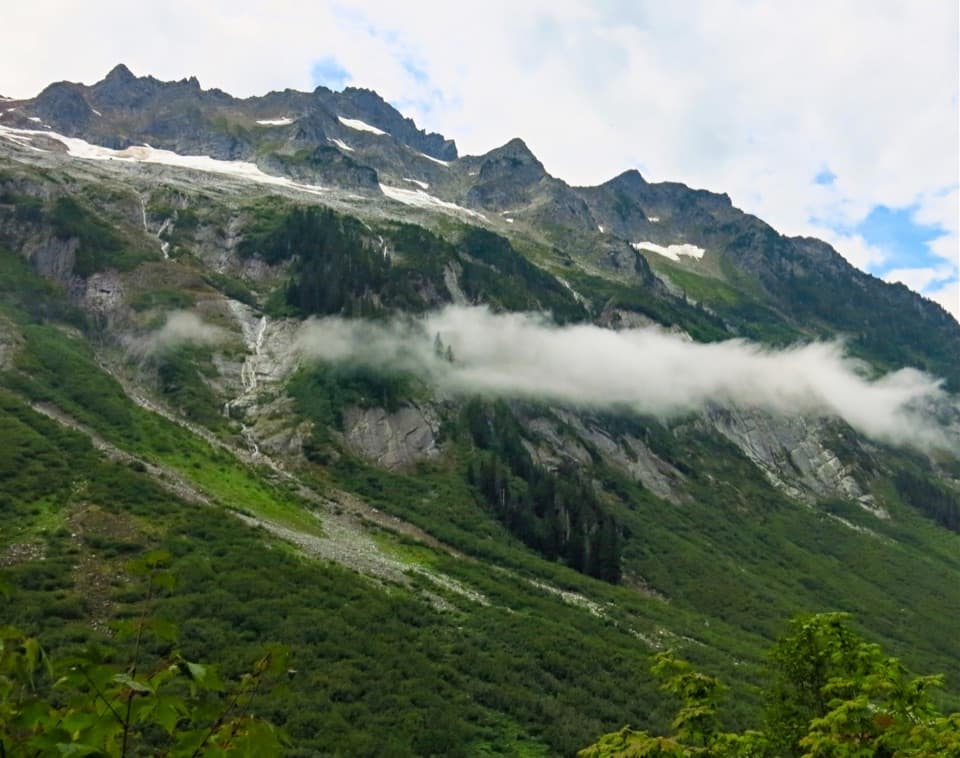
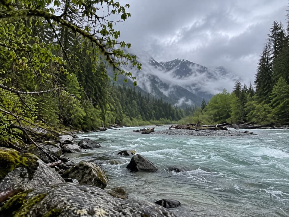
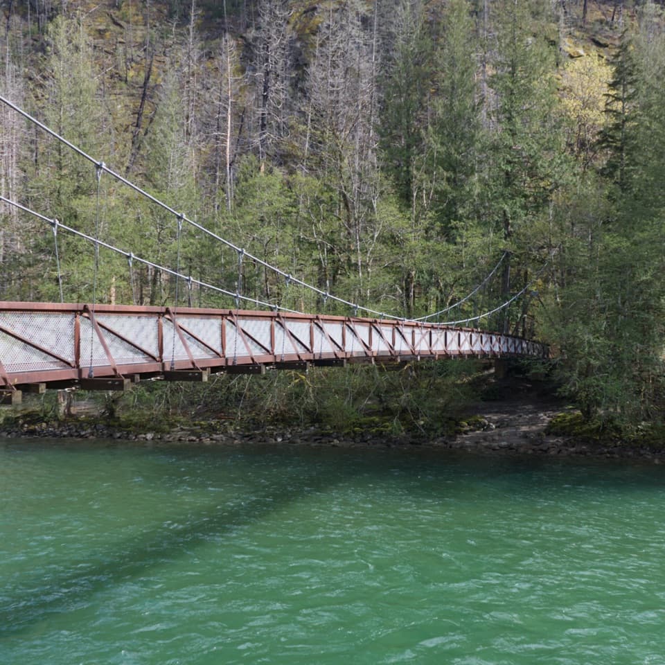
Past Copper Lake, the trail loses about 2,400 feet in five miles on a steep descent to the braided Chilliwack River. The first river crossing is a ford, followed by a ford of Indian Creek; flagged tread and cairns help you find the way through the channels. Treat high water as a serious obstacle. Indian Creek Camp is nearby, then a suspension bridge crosses the creek and the route climbs about 400 feet to the Brush Creek junction. Whatcom Pass is an optional 10.2-mile round-trip side trip from here, not part of this loop.

The cable car and the way outContinue along the Chilliwack valley to the separate lower river crossing.

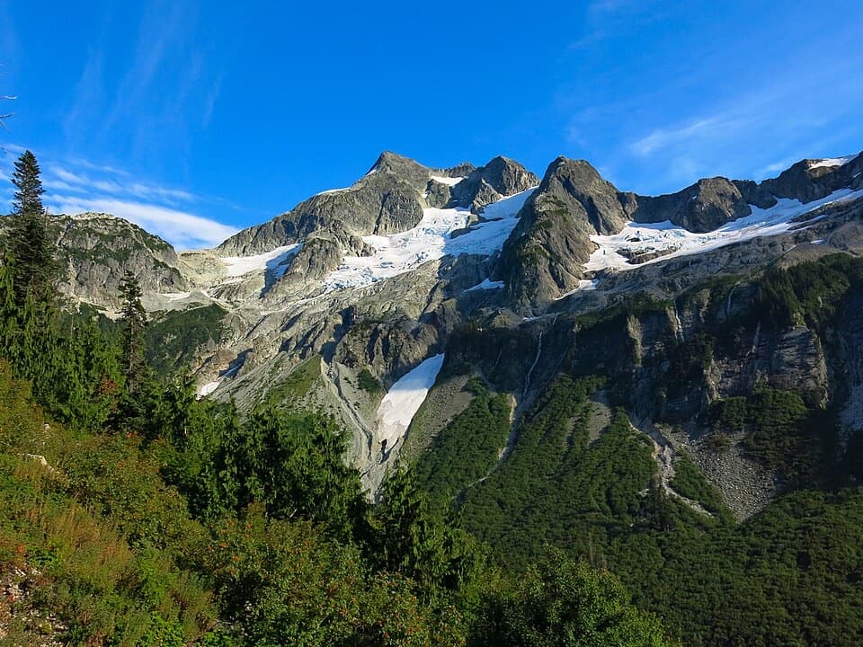
Continue along the Chilliwack valley to the separate lower river crossing. The route uses a small, self-pulled two-person cable car at about mile 22.9; its rope is rough, so gloves help. After crossing, pass U.S. Cabin and Copper Creek camps, then climb steeply back to Boundary Camp at about mile 28.5. The final 5.1 miles retrace the Hannegan Pass approach. In the valley, the trail passes old-growth forest and slopes still marked by the 2022 Chilliwack Fire, where fireweed now contrasts with the green river corridor.

Wildlife

Wildlife in North Cascades

All North Cascades wildlife maps

Sighting maps show where each species has been reported across North Cascades. Wildlife moves, so no sighting is guaranteed.

Parkwolf’s North Cascades ranking

Top-rated trails in North Cascades

All 88 trails
  1. 1Sahale Arm TrailChallenging · 11.8 mi
  2. 2Cascade Pass TrailModerate · 7.4 mi
  3. 3Heather–Maple Pass LoopChallenging · 7.2 mi
  4. 4Hidden Lake TrailChallenging · 9 mi
  5. 6Thunder Knob TrailModerate · 3.8 mi
  6. 7Trail of the Cedars Nature WalkEasy · 0.5 mi

Take Parkwolf to North Cascades.

The audio tour guide for the drive, plus offline maps, trails, and wildlife heatmaps for when the signal drops.

4.7 from 8,600+ ratings

Download Parkwolf on the App StoreGet Parkwolf on Google Play