Boggle Hole in North York Moors National Park

Beach · North York Moors National Park

Boggle Hole

Tide-timed cove of ridged scaurs, rock pools and fossil-flecked shingle

Photo: Wikimedia Commons
Type
Beach
Nearest trail
1.5 km
Audio stories
4 nearby
  • Food

Hear the audio tour

Robin Hood's Bay

Overview

About Boggle Hole

Why stop

  • Jurassic rock pools and fossil hunting

Heads up

  • Tide-dependent access and a steep walk back
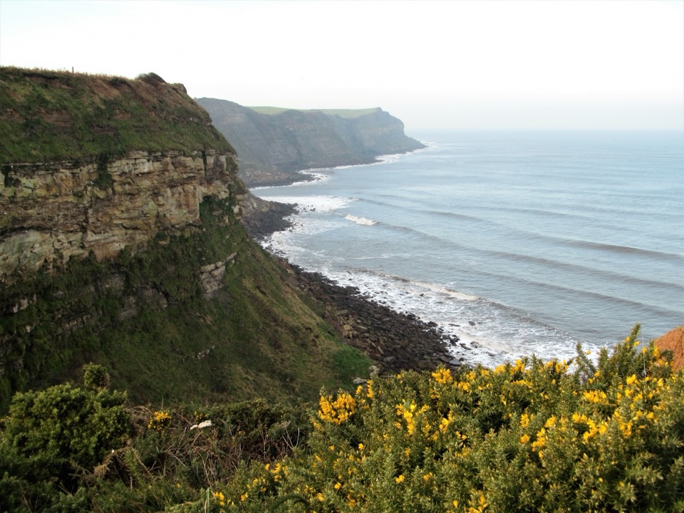
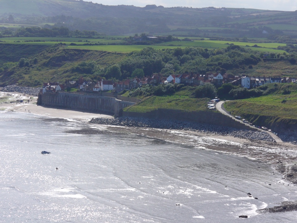
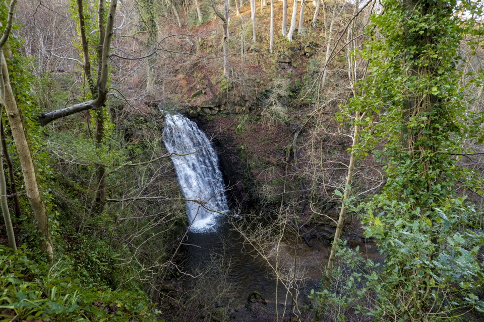
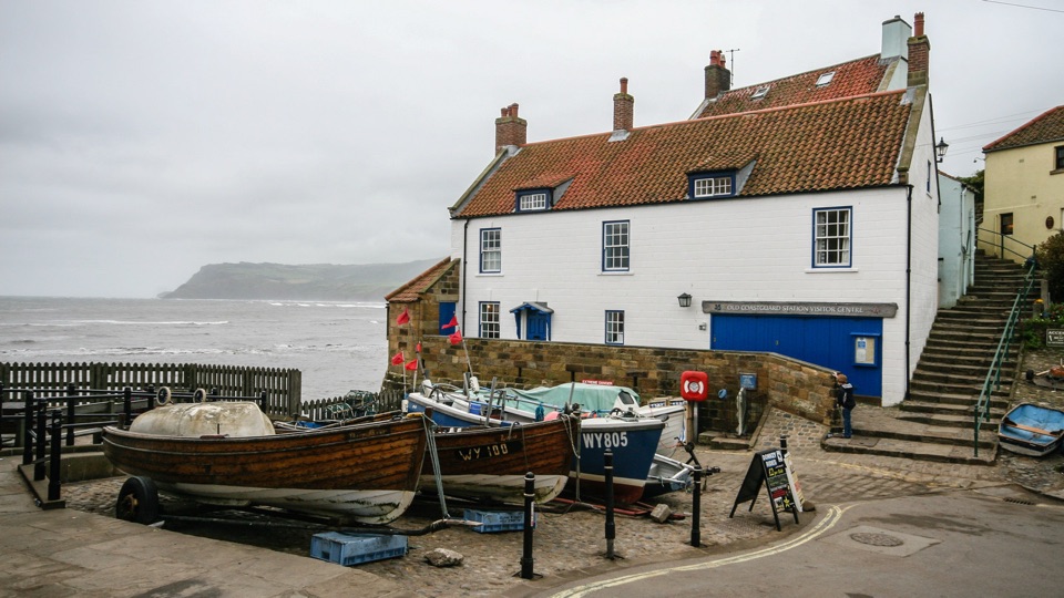
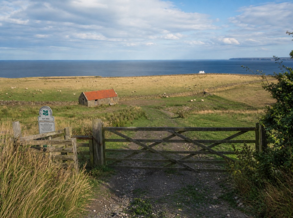
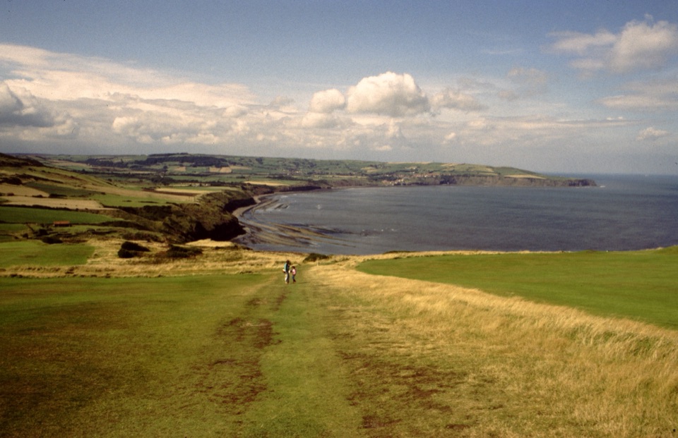
This is a secluded cove at the mouth of Mill Beck, reached on foot and hemmed in by cliffs, so it feels separate from the busier village up the coast. The draw is simple: curving, ridged scaurs of Jurassic rock, pools left behind by the falling tide, and loose shingle worth sifting for fossils. Visitors regularly describe it as a quiet, attractive beach with a good walk attached.
Parkwolf’s verdictWhy stop here

Map

Where it is

Loading the North York Moors map
Full map
BeachBoggle Hole54.42293, -0.52972
Keep this map with you offline in the Parkwolf app

Plan your stop

Before you go

Best time to go

Aim for a falling or low tide for pools and shingle, and note that fossil hunting tends to be most rewarding after autumn and winter storms have turned over fresh loose material. Sturdy footwear or wellies, waterproofs and a printed or saved tide table all help, and binoculars plus a small container for brief rockpool observation are useful extras. Expect wet feet, a stiff walk back uphill, and a tide that changes faster than you think.


Access

There is no public parking at the cove itself, and you should not drive down past the small roundabout by the Victoria Hotel, where vehicle access is very difficult. Arrive on foot from the upper car park or from the Robin Hood's Bay bus stop, taking either the cliff path or the beach depending on the state of the tide. The return climb from the shore back up to the upper village is steep, which is the most common complaint from visitors.

8 active North York Moors alerts

  • ClosureHawnby Bridleway 110 closurePublic Bridleway 25.122/110/1 in Hawnby is closed to pedestrians, cyclists and equestrians because its bridge is unsafe. - The closure is between grid references SE 5309 9073 and SE 5335 9097.Official details
  • ClosureWest Ayton Footpath 1 closurePublic Footpath 1 in West Ayton (Forge Valley) is temporarily closed because its boardwalk is unsafe. - The closure is between SE 9860 8494 and SE 9839 8712.Official details
See all 8 alerts
A park ranger sits on a dash-mounted phone, talking, as Parkwolf’s Tour Guide plays “Army Cutworm Moths: A Grizzly Bear Buffet” on Grand Loop Road below Dunraven Pass in Yellowstone
Parkwolf Tour GuideThe highest, rockiest slopes around here are a summer buffet for grizzly bears.

North York Moors Tour Guide

Your drive to Boggle Hole, narrated.

Parkwolf is a GPS audio tour guide for North York Moors National Park. As you drive, it chimes in with what’s ahead: hidden gems, upcoming stops, history, geology, and wildlife, right through your car’s speakers.

Recorded for this place

Robin Hood's Bay
0:00 / 0:38
“Up ahead is Robin Hood's Bay, where a tight knot of cottages and narrow alleys tumbles steeply down to the sea.”

Plays as you drive up to Boggle Hole in the Parkwolf North York Moors Tour Guide.

More stories near here in the app

  • An Ammonite Is a Clock
  • The Lifeboat That Came by Road
  • The Crab with Swimming Paddles
  • Ravenscar
  • 298 audio storiesacross North York Moors’s roads, triggered by GPS as you drive
  • Wildlife heatmapsfor Eurasian Otter, Red Deer, Grey Seal, and 13 more
  • Works offlinemaps, 126 trails, 65 places, and audio download before you lose signal
  • CarPlay readysimple controls built for the drive
★★★★★
“Fantastic app with many points of information… It’s great to just turn on while you’re driving and it gives you an audio tour of the national Park. We love it!!!!”
JMJamesApp Store review
Download Parkwolf on the App StoreGet Parkwolf on Google Play

4.7 from 8,600+ ratings

Guide

More about Boggle Hole

What to see and doRockpool at low tide.
  • Rockpool at low tide. Shore life here can include barnacles, periwinkles, limpets, ragworms, chitons, butterfish and velvet swimming crabs, though what turns up varies with the day and the tide. Look gently, put creatures and stones back where you found them.
  • Hunt for fossils in loose material. The coast's Jurassic rocks are roughly 150 to 200 million years old, and beach stones and shingle can hold ammonites, belemnites, devil's toenails, crinoids and, rarely, marine reptile bone or dinosaur footprints. Search the loose stuff only and never hammer the cliffs. Finds are luck, not a certainty.
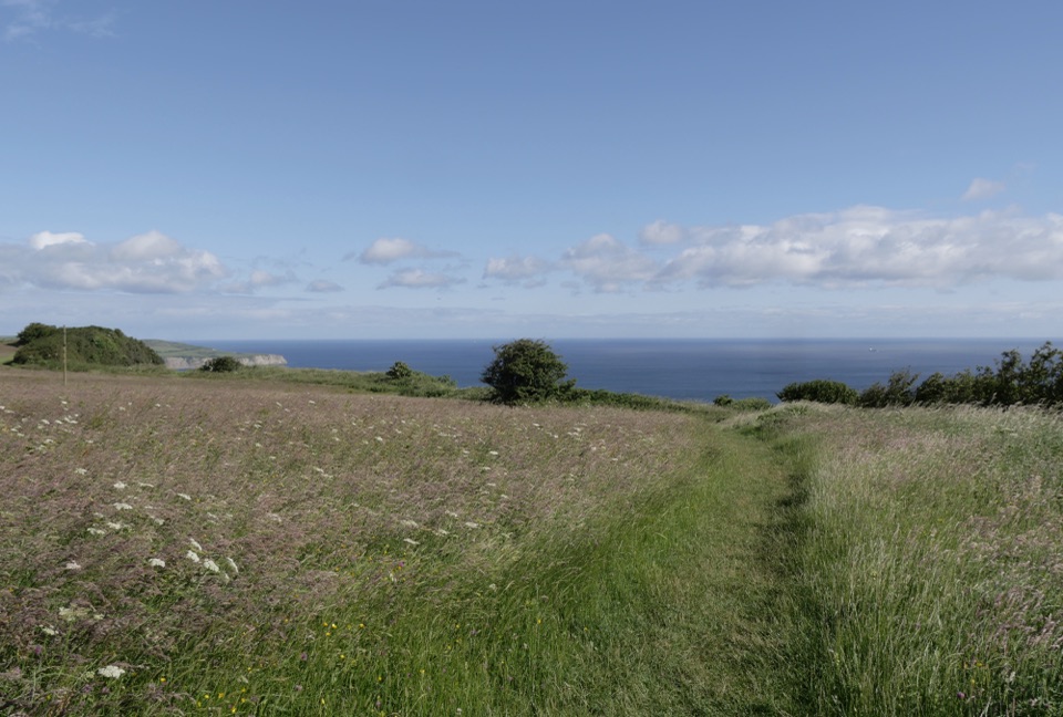
  • Walk the shore toward Robin Hood's Bay when the tide allows, or take the cliff-top path for the wider sea views.
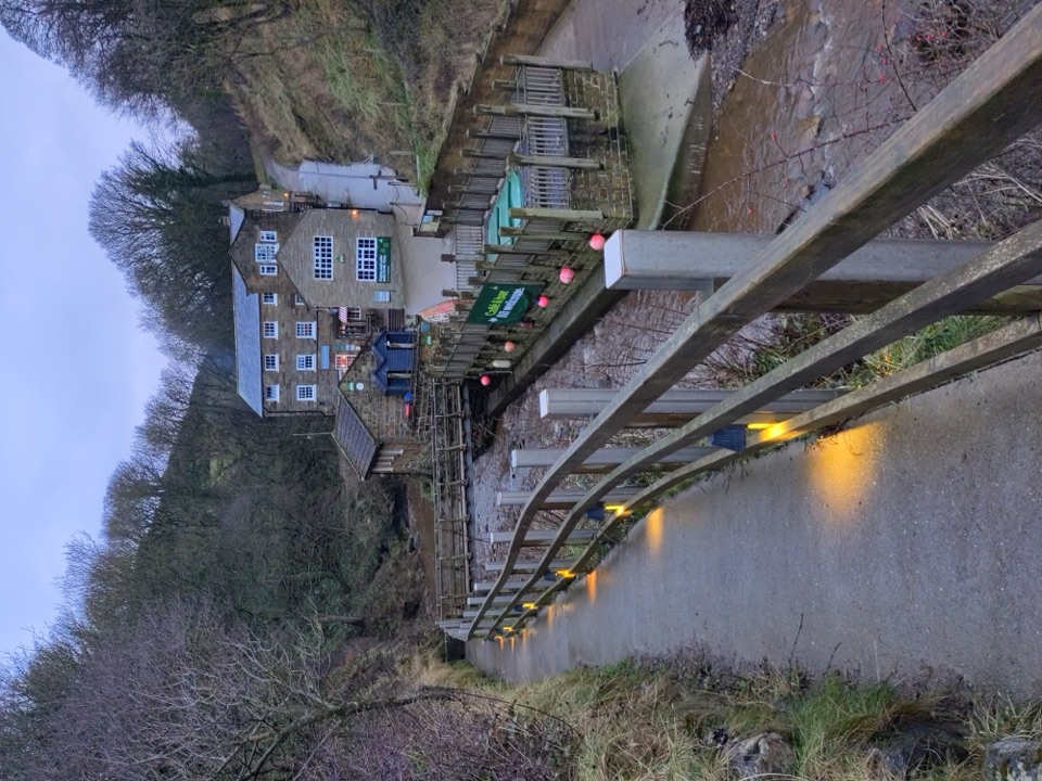
Cafe and the old millThe cove's buildings began as a watermill, later converted for the youth hostel, set in wooded…

The cove's buildings began as a watermill, later converted for the youth hostel, set in wooded grounds above the beck with sea views. The QuarterDeck cafe and bar sits at the hostel and is dog friendly, which makes it the obvious place to warm up after a session in the pools. Treat it as a bonus rather than the reason to come, and check what is open when you arrive.

Folklore and historyThe inlet is remembered as an old smugglers' cove, tucked out of sight of the main village.

The inlet is remembered as an old smugglers' cove, tucked out of sight of the main village. Local folklore gives it a stranger reputation too: boggles, or hobgoblins, were said to live in the caves along this shore, and were credited with healing powers. The name stuck.

Tide and cliff safetyFor roughly three hours either side of high tide the cove cannot be reached along the beach.

For roughly three hours either side of high tide the cove cannot be reached along the beach. The Cleveland Way offers a cliff-top alternative when the sand is cut off. Check a tide table before you set out, keep an eye on the water while you are down there, and allow time to get back. Rocks are uneven and seaweed-covered patches are slippery, and the cliffs are actively eroding, so keep well clear of their base.

Wildlife

Wildlife in North York Moors

All North York Moors wildlife maps

Sighting maps show where each species has been reported across North York Moors. Wildlife moves, so no sighting is guaranteed.

Keep exploring

Near Boggle Hole

See it all on the map

Trails nearby

More stops nearby

Parkwolf’s North York Moors ranking

Top sights in North York Moors

All 65 places
  1. 1North Yorkshire Moors RailwaySight
  2. 2Roseberry ToppingSight
  3. 3Rievaulx AbbeySight
  4. 4Robin Hood's Bay and BeachSight
  5. 5Hole of HorcumSight
  6. 6Goathland StationSight

Take Parkwolf to North York Moors.

The audio tour guide for the drive, plus offline maps, trails, and wildlife heatmaps for when the signal drops.

4.7 from 8,600+ ratings

Download Parkwolf on the App StoreGet Parkwolf on Google Play