Ravenscar Second World War Radar Station in North York Moors National Park

Sight · North York Moors National Park

Ravenscar Second World War Radar Station

Wartime radar buildings and hut foundations above a windswept coast

Photo: Wikimedia Commons
Type
Sight
Nearest trail
0.8 km
Audio stories
2 nearby

Hear the audio tour

Ravenscar

Overview

About Ravenscar Second World War Radar Station

Why stop

  • Unusual surviving wartime buildings above a broad sea view

Heads up

  • Muddy, exposed walk with a steeper return
  • Buildings are locked and viewed from outside

Map

Where it is

Loading the North York Moors map
Full map
SightRavenscar Second World War Radar Station54.39333, -0.47449
Keep this map with you offline in the Parkwolf app

Plan your stop

Before you go

Best time to go

Aim for a dry spell, which makes both the Cinder Track and the field more pleasant underfoot. Early morning or late afternoon light comes in at a low angle across the concrete and the foundations, picking out detail that flattens out under midday sun, and it suits the coastal views as well.


Getting there on foot

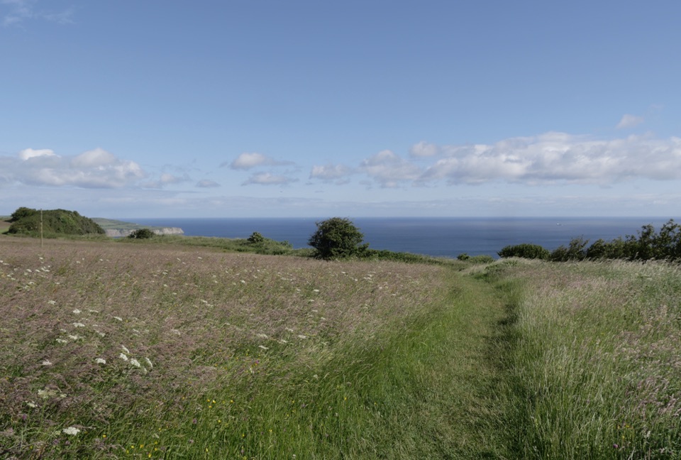
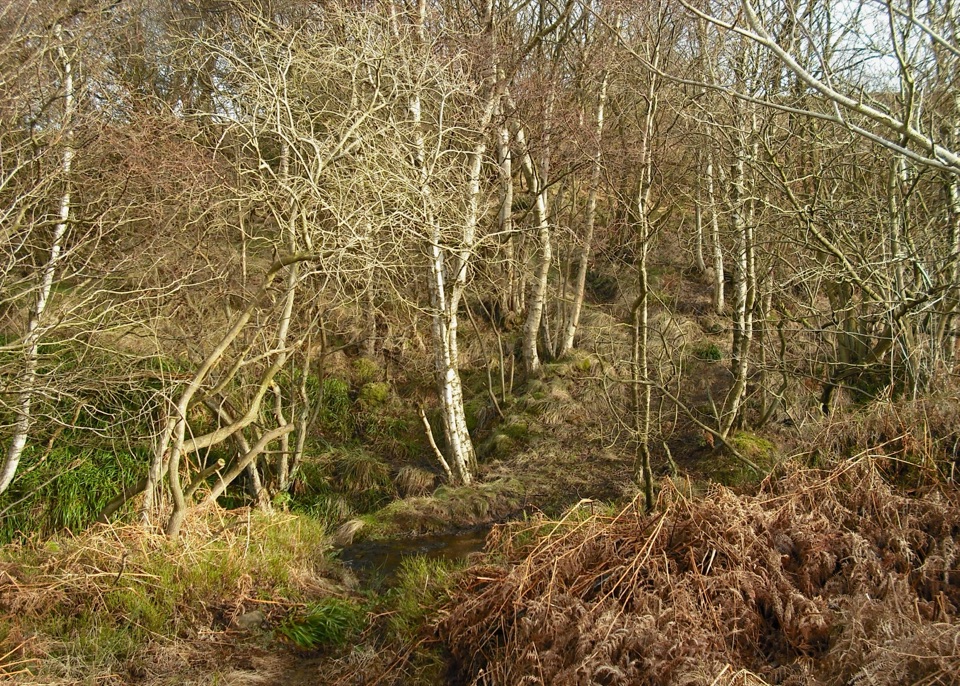
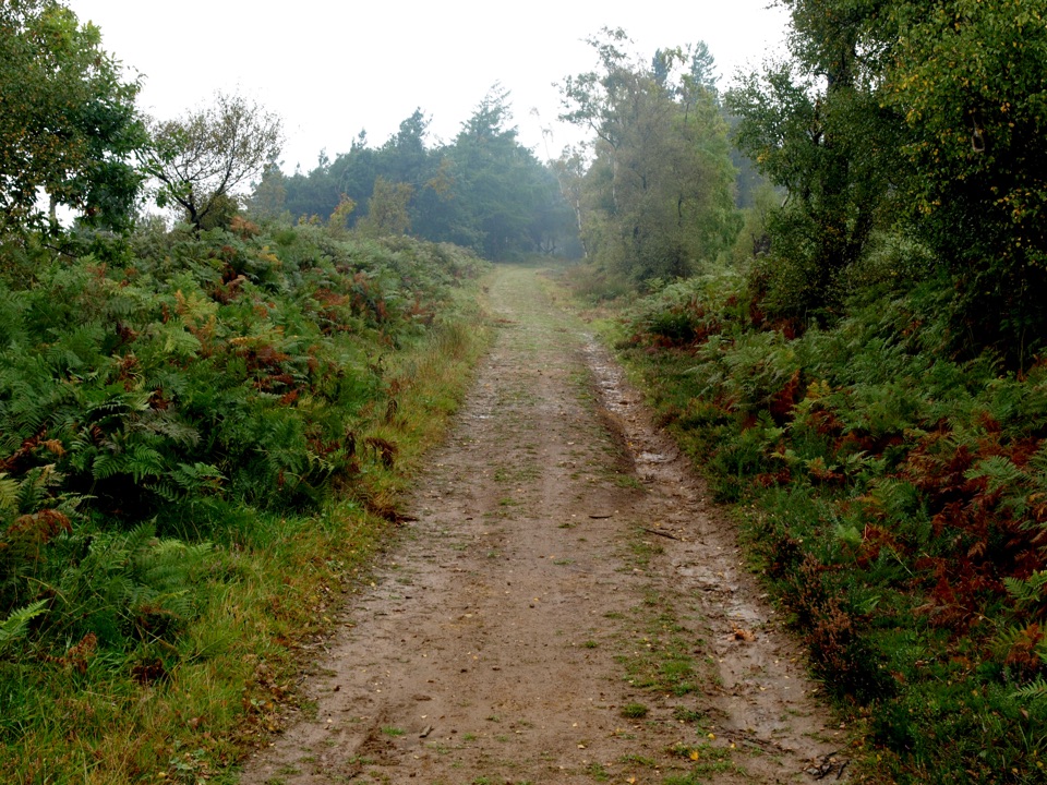
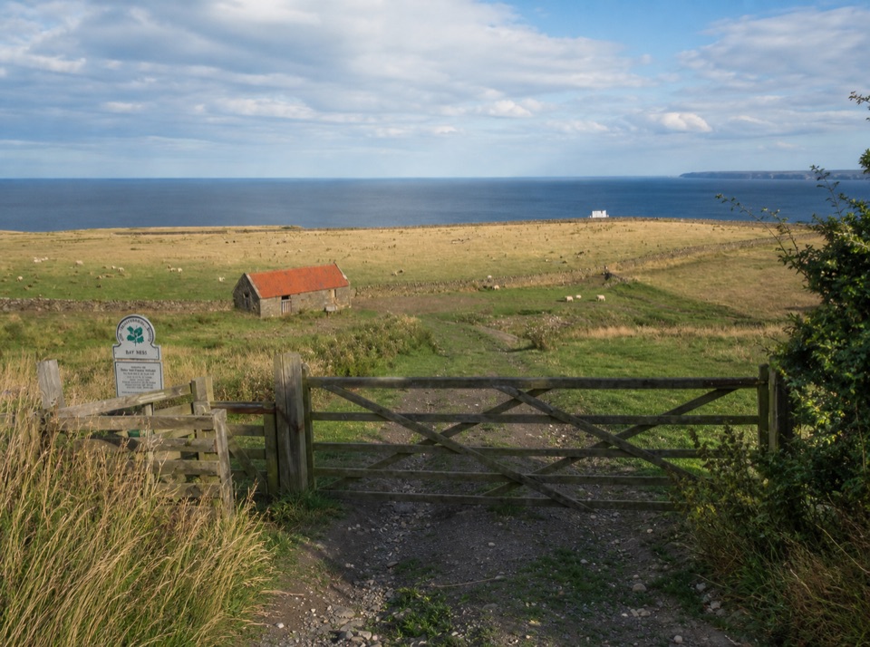
Start from Station Square in Ravenscar. Look for the green signpost, beside the steps down to the old railway line, now the Cinder Track, and follow the track for about one mile. An interpretation panel and a stile mark the entry to the field.

For a circular return, pick up the Cleveland Way back towards the village. This is a short walk rather than a roadside stop, and the return leg towards Ravenscar is steeper.

8 active North York Moors alerts

  • ClosureHawnby Bridleway 110 closurePublic Bridleway 25.122/110/1 in Hawnby is closed to pedestrians, cyclists and equestrians because its bridge is unsafe. - The closure is between grid references SE 5309 9073 and SE 5335 9097.Official details
  • ClosureWest Ayton Footpath 1 closurePublic Footpath 1 in West Ayton (Forge Valley) is temporarily closed because its boardwalk is unsafe. - The closure is between SE 9860 8494 and SE 9839 8712.Official details
See all 8 alerts
A park ranger sits on a dash-mounted phone, talking, as Parkwolf’s Tour Guide plays “Army Cutworm Moths: A Grizzly Bear Buffet” on Grand Loop Road below Dunraven Pass in Yellowstone
Parkwolf Tour GuideThe highest, rockiest slopes around here are a summer buffet for grizzly bears.

North York Moors Tour Guide

Your drive to Ravenscar Second World War Radar Station, narrated.

Parkwolf is a GPS audio tour guide for North York Moors National Park. As you drive, it chimes in with what’s ahead: hidden gems, upcoming stops, history, geology, and wildlife, right through your car’s speakers.

Recorded for this place

Ravenscar
0:00 / 0:33
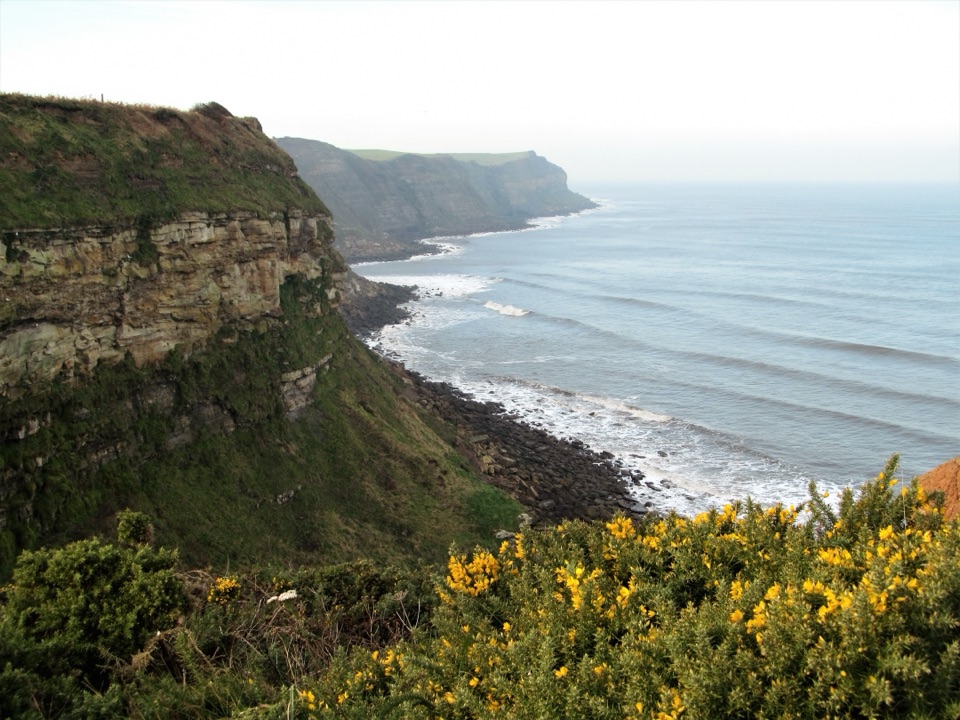
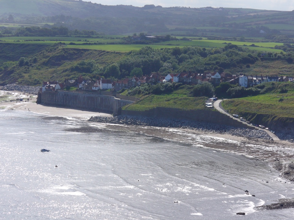
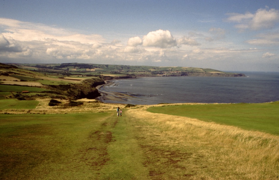
“You're approaching Ravenscar, high on the headland above the full sweep of Robin Hood's Bay. From the cliff-top path, frame the bay's long curve; this is the view that earns the stop.”

Plays as you drive up to Ravenscar Second World War Radar Station in the Parkwolf North York Moors Tour Guide.

More stories near here in the app

  • The Forest Below the Waves
  • The Radar That Watched the Sea
  • Hayburn Wyke Waterfall
  • The Name Built for a Town
  • 298 audio storiesacross North York Moors’s roads, triggered by GPS as you drive
  • Wildlife heatmapsfor Eurasian Otter, Red Deer, Grey Seal, and 13 more
  • Works offlinemaps, 126 trails, 65 places, and audio download before you lose signal
  • CarPlay readysimple controls built for the drive
★★★★★
“Fantastic app with many points of information… It’s great to just turn on while you’re driving and it gives you an audio tour of the national Park. We love it!!!!”
JMJamesApp Store review
Download Parkwolf on the App StoreGet Parkwolf on Google Play

4.7 from 8,600+ ratings

Guide

More about Ravenscar Second World War Radar Station

Why make the walkBent Rigg is a scheduled monument roughly a kilometre southeast of Ravenscar.

Bent Rigg is a scheduled monument roughly a kilometre southeast of Ravenscar. It was established in 1941 as a Type M station in the coastal Chain Home Low system, watching for surface shipping, and was later converted to Chain Home Extra Low. Both sides of the station survive here: the technical buildings that housed the radar and its power supply, and the living and administrative quarters of the crew who worked it, set above the stretch of sea the station was built to scan.

What you actually seeThe buildings are secured and fenced, so viewing is from the outside.

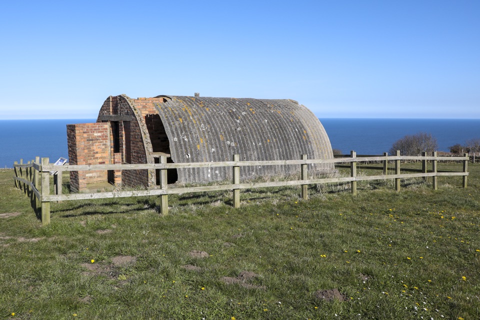
The buildings are secured and fenced, so viewing is from the outside. You can walk the field and read the layout on the ground, but you cannot go inside anything.

  • The transmitter/receiver block
  • The engine house and the fuel store
  • A Nissen hut used as the communications hut
  • About eleven barrack, domestic and administrative foundations, plus latrine remains
  • An interpretation panel that explains which structure did what
Parking and facilitiesParking is limited roadside space in Station Square
  • Parking is limited roadside space in Station Square
  • There are no facilities at the site, so sort out water, food and toilets in the village first
Conditions, livestock and dogsThe field can be muddy, especially after rain
  • The field can be muddy, especially after rain
  • The position is exposed to cliff-top wind and weather
  • Livestock graze the field, so keep dogs on a lead and close gates behind you
What to bringSturdy footwear or boots, a windproof layer whatever the forecast says, water, and something to…

Sturdy footwear or boots, a windproof layer whatever the forecast says, water, and something to eat if you are doing the circular route. Binoculars are useful for the coastline.

Honest drawbacksThis is a modest site in a grazed field: a handful of buildings, concrete foundations and an…

This is a modest site in a grazed field: a handful of buildings, concrete foundations and an interpretation panel. Everything is locked and fenced, there is nothing staffed, and the walk out and back takes real effort with a climb on the return. The reward is a readable wartime radar station with a big sea outlook.

Wildlife

Wildlife in North York Moors

All North York Moors wildlife maps

Sighting maps show where each species has been reported across North York Moors. Wildlife moves, so no sighting is guaranteed.

Keep exploring

Near Ravenscar Second World War Radar Station

See it all on the map

Trails nearby

More stops nearby

Parkwolf’s North York Moors ranking

Top sights in North York Moors

All 65 places
  1. 1North Yorkshire Moors RailwaySight
  2. 2Roseberry ToppingSight
  3. 3Rievaulx AbbeySight
  4. 4Robin Hood's Bay and BeachSight
  5. 5Hole of HorcumSight
  6. 6Goathland StationSight

Take Parkwolf to North York Moors.

The audio tour guide for the drive, plus offline maps, trails, and wildlife heatmaps for when the signal drops.

4.7 from 8,600+ ratings

Download Parkwolf on the App StoreGet Parkwolf on Google Play