Parking
Use Station Road Car Park in the upper village. It is pay and display and has accessible toilets, which are closed in winter. Bank Top is a second upper-village pay-and-display option.
North York Moors National Park, EN
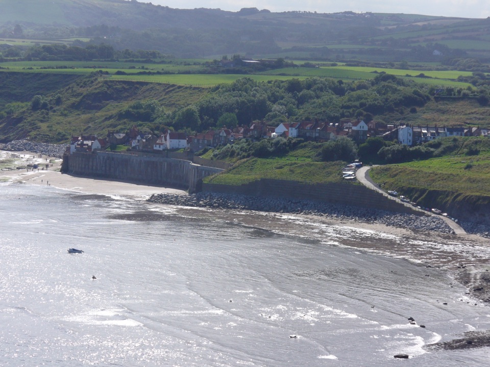
Surfaced clifftop stroll to a sweeping view across the bay to Ravenscar
Overview
Start at Station Road Car Park in upper Robin Hood's Bay, cross the road and follow Mount Pleasant North to the Cinder Track. Turn right, climb a short slope into a field, then join the cliff path. The viewpoint arrives just before a kissing gate, looking out over Robin Hood's Bay and south toward the cliffs of Ravenscar, with Flamborough Head visible on a clear day. Return by the same route.
 Parkwolf’s verdictThe sequence and the payoff
Map & elevation
Plan your hike

The highest, rockiest slopes around here are a summer buffet for grizzly bears.
North York Moors Tour Guide
Parkwolf is a GPS audio tour guide for North York Moors National Park. As you drive, it chimes in with what’s ahead: hidden gems, upcoming stops, history, geology, and wildlife, right through your car’s speakers.
Recorded for this trailhead
Robin Hood's Bay“Up ahead is Robin Hood's Bay, where a tight knot of cottages and narrow alleys tumbles steeply down to the sea.”
Plays as you drive up to this trailhead in the Parkwolf North York Moors Tour Guide.
More stories near here in the app
“Fantastic app with many points of information… It’s great to just turn on while you’re driving and it gives you an audio tour of the national Park. We love it!!!!”


Trail guide
This is an out and back walk of about 1.4 km (0.9 miles) round trip, allowing roughly 45 minutes at an easy pace. The outward leg is about 686 m, so the round trip is double that, roughly a mile there and back along the Cleveland Way and England Coast Path. Total ascent and descent are about 14 m each, between a low point of 62 m and a high point of 79 m.
The walk is classified Miles without Stiles (For many), intended for assisted wheelchair users and families with robust all-terrain buggies rather than the less demanding For all category. There are two accessible gates and no stiles, and the path averages about 1 metre wide. It is easy overall but only partially accessible, so plan for a companion to help on the short rises.
The Cinder Track section is compacted limestone, and the field and cliff path is surfaced throughout, though uneven or rougher in places. The steepest gradient is about 1:10 for 20 metres just after the car park, with a similar pitch where the path leaves the Cinder Track and a gentler slope of about 1:15 beyond that. Nothing is sustained, but each rise needs a steady push.
Use Station Road Car Park in the upper village, which is pay and display. Bank Top is the other pay and display option in upper Robin Hood's Bay. Accessible toilets are provided at Station Road but are closed in winter.
Dogs are welcome. Keep them on a lead or under close control to protect wildlife, which matters on a clifftop path shared with other walkers.
The beach lies below the cliff and is not part of this route. Reaching it means a separate descent through the village, and beach access there is tide dependent. The experience on this walk is the clifftop viewpoint.
This suits a short scenic outing when time or mobility is limited, and it works well as an introduction to the coast path without committing to a long day. If you want something flatter and longer, the Cinder Track heading toward Hawsker or Whitby offers an easier gradient over more distance, with a different, more inland railway-path character.
Wildlife
 15 sightingsEurasian OtterMost seen around 7 PMSighting map
 10 sightingsRed DeerMost seen around 7 AMSighting map
 79 sightingsGrey SealMost seen around noonSighting map
 26 sightingsWestern Barn OwlMost seen around 7 PMSighting map
 33 sightingsEuropean BadgerMost seen around 7 PMSighting map
 10 sightingsMute SwanMost seen around noonSighting map
Sighting maps show where each species has been reported across North York Moors. Wildlife moves, so no sighting is guaranteed.
Keep exploring
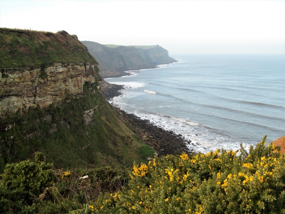 ModerateRobin Hood's Bay and Maw Wyke9.7 km · 4 hr · At the trailheadClifftop seabird views to a sheltered inlet, easy railway return
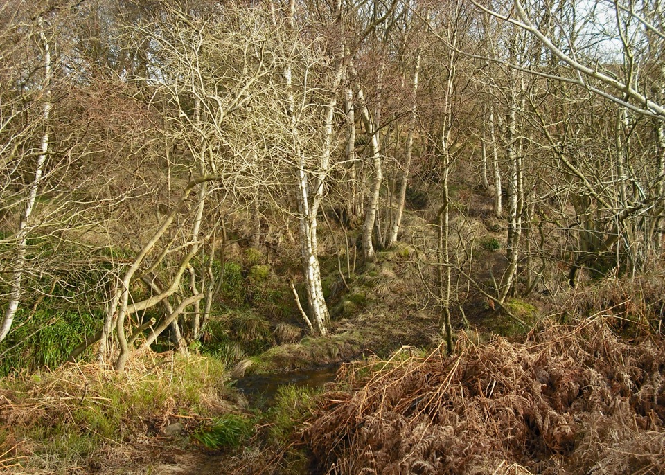 ModerateHowdale Moor and Brow Moor6.1 km · 2.5 hr · 4.7 km awayHeather moorland loop above Ravenscar, coast views and burial mounds
 ChallengingRavenscar to Robin Hood's Bay17.7 km · 6.5 hr · 4.9 km awayMoorland tracks, cliff paths and a seaside village in an 11-mile loop
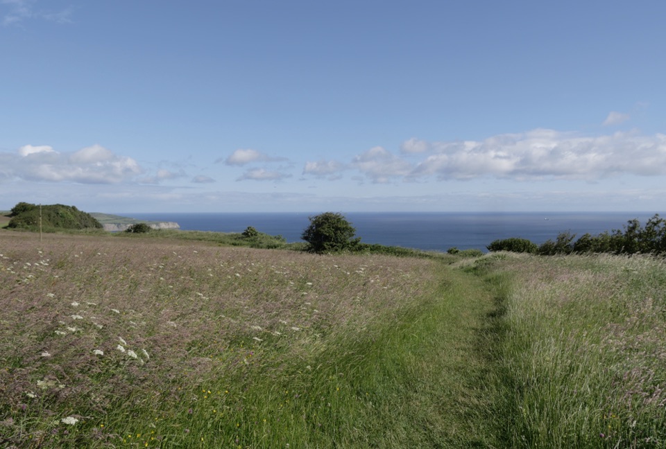 EasyMiles without Stiles (For some) - Ravenscar2.4 km · 45 min · 5.4 km awayShort cliff-top loops from Station Square, level or steeper options
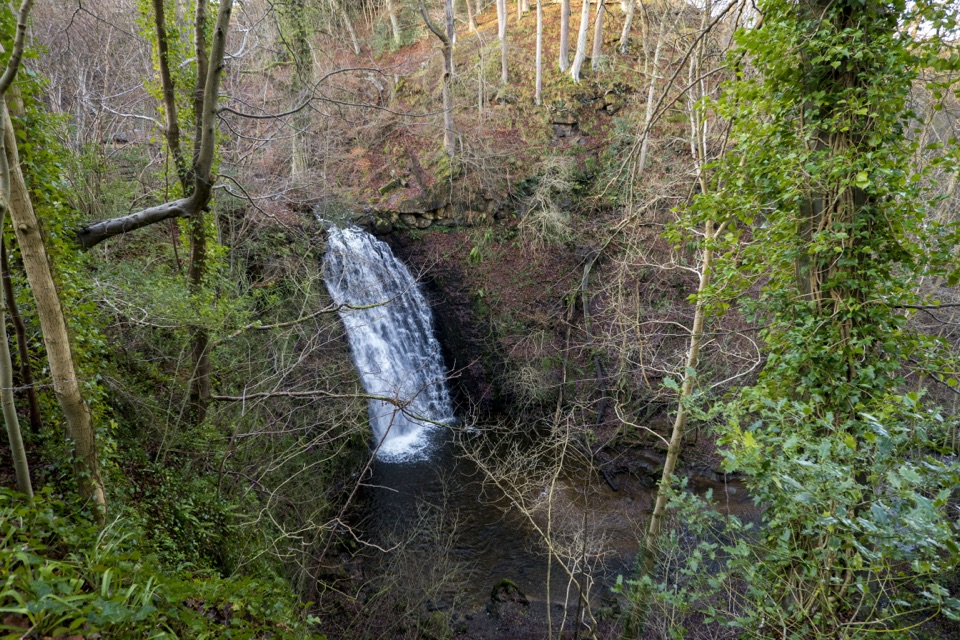 ModerateMay Beck and Falling Foss3.1 km · 1.5 hr · 6.5 km awayShady woodland loop to a waterfall, tea garden and beckside path
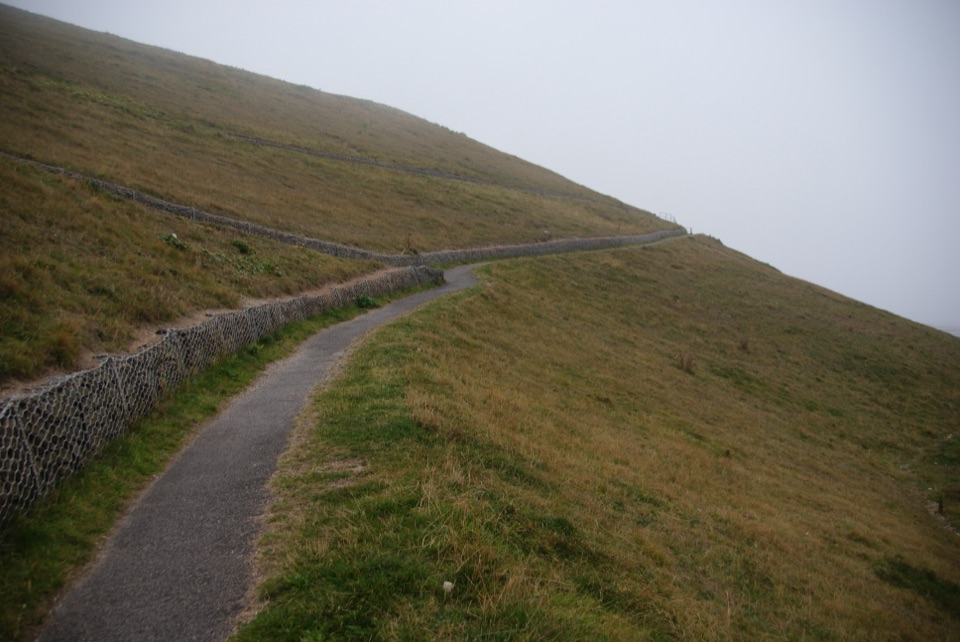 EasyMiles without Stiles (For all) - Whitby3.1 km · 1.1 hr · 7.1 km awayLevel clifftop path above Whitby Abbey, out and back with sea views
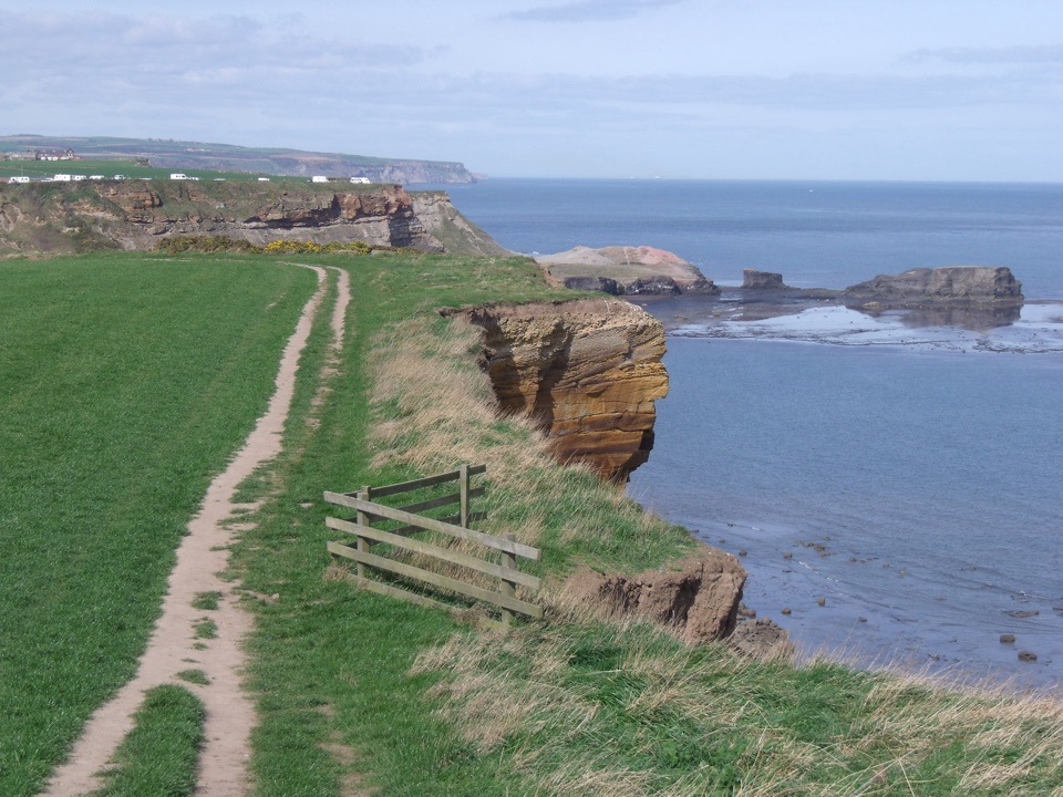 ModerateWhitby and Hawsker Circular12.7 km · 3.8 hr · 7.5 km awayCliff-top Cleveland Way out, easy Cinder Track home, past Whitby Abbey
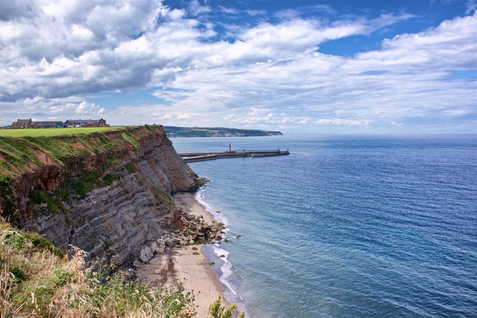 ModerateWhitby Wander12.7 km · 4.2 hr · 7.5 km awayClimb the 199 Steps, walk clifftops, loop home on the Cinder Track
 Sight · 0.3 km awayRobin Hood's Bay and BeachCobbled smugglers' village tumbling to Jurassic rock scaurs and rockpools
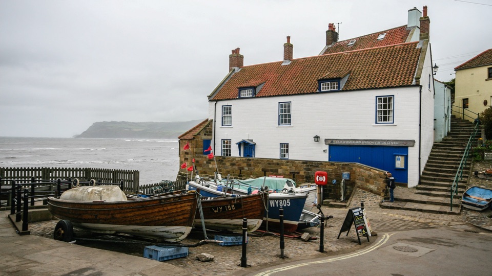 Sight · 0.7 km awayThe Old Coastguard StationSea-edge stone by the slipway, with rock scaurs at low tide
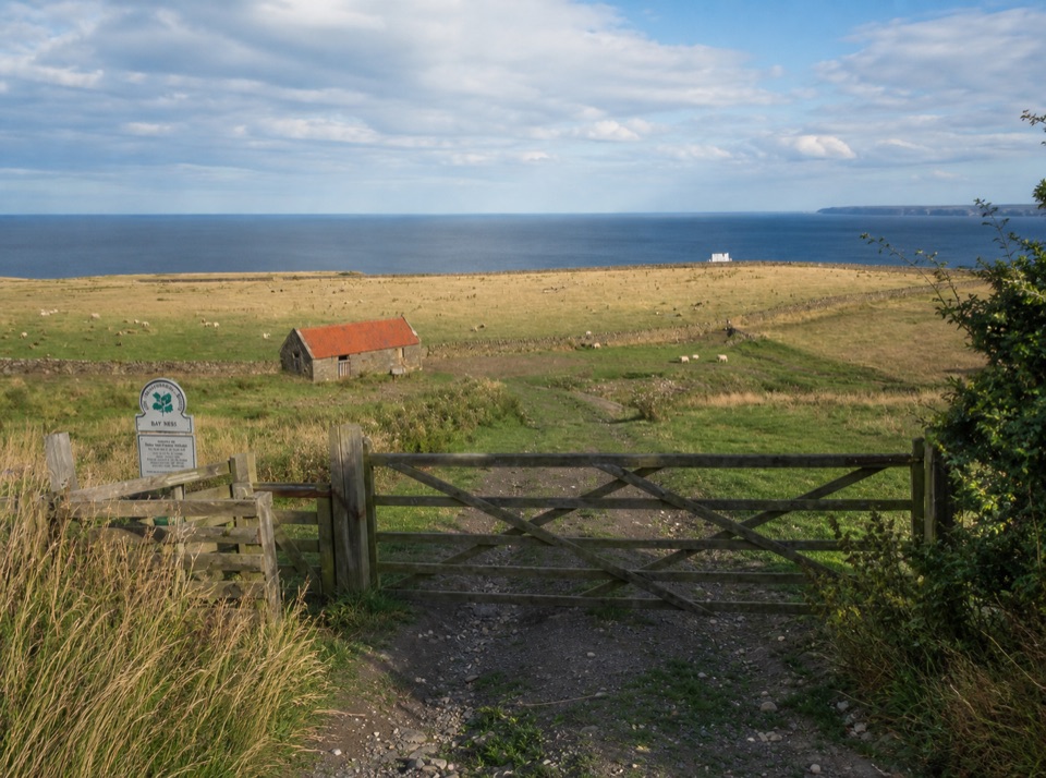 Campground · 0.9 km awayBay Ness Farm CampsiteSea-view farm pitches a short walk above Robin Hood's Bay
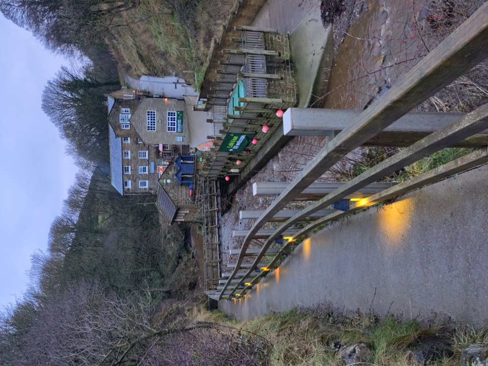 Beach · 1.5 km awayBoggle HoleTide-timed cove of ridged scaurs, rock pools and fossil-flecked shingle
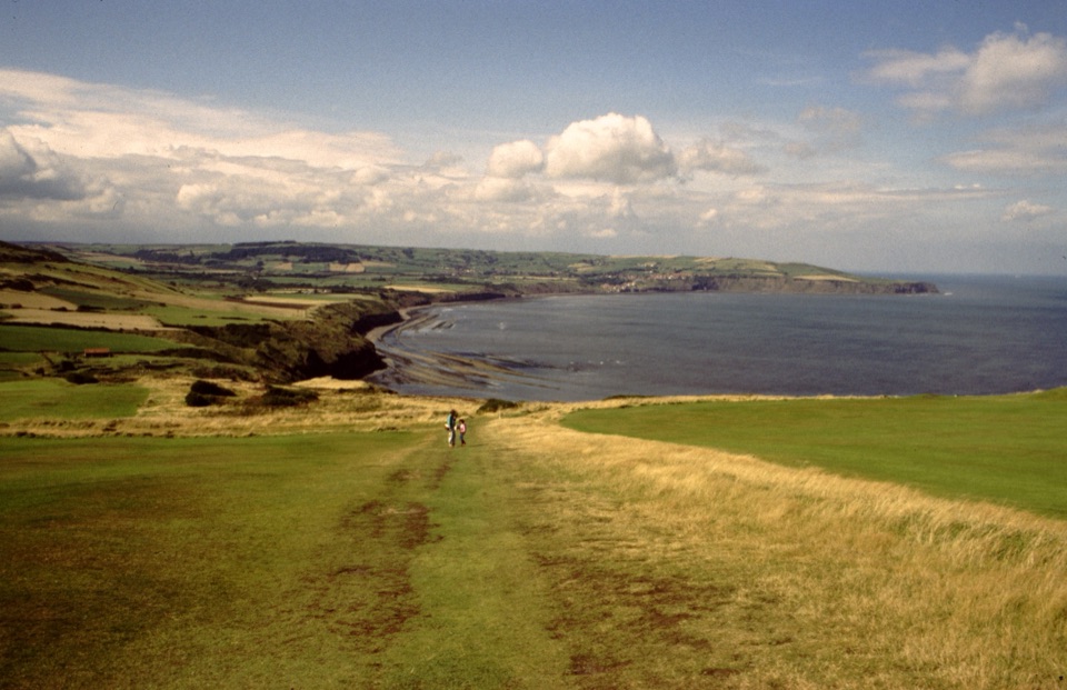 Sight · 5.1 km awayRavenscarThe town that never was, high above Robin Hood's Bay
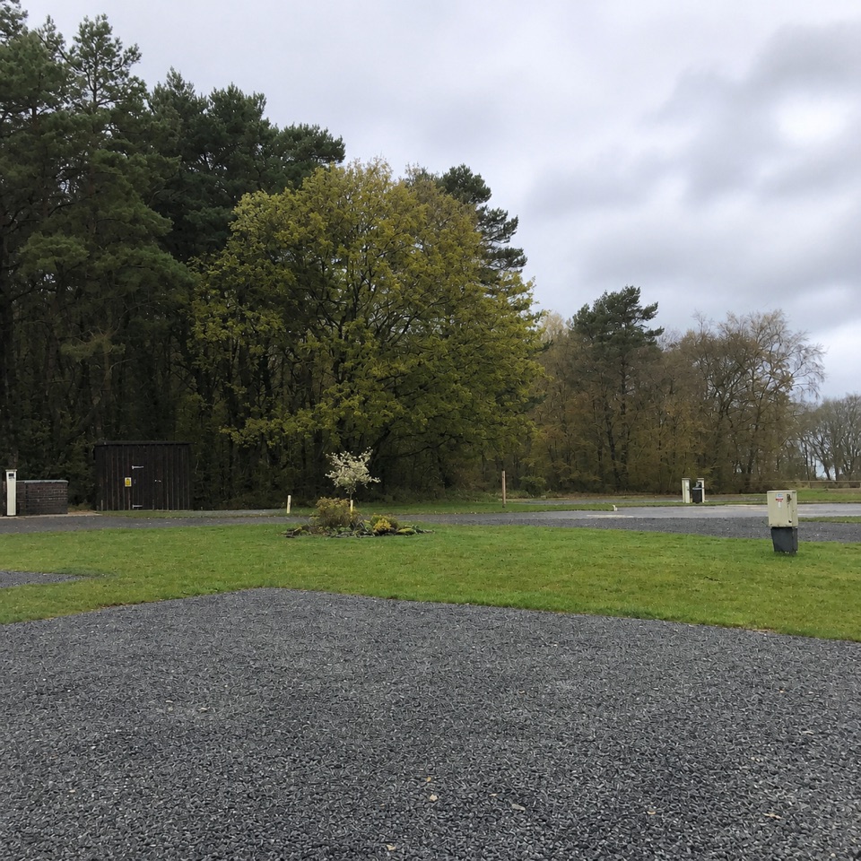 Campground · 5.9 km awayNorth Yorkshire Moors Club CampsiteQuiet wooded pitches with moorland views and walks from the gate
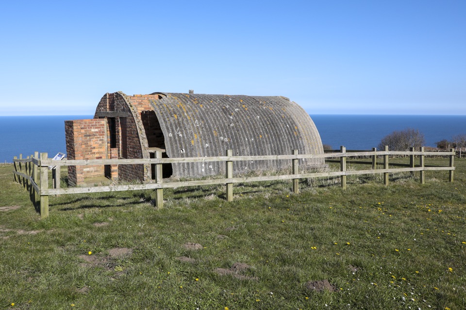 Sight · 6.2 km awayRavenscar Second World War Radar StationWartime radar buildings and hut foundations above a windswept coastSight · 6.5 km awayFalling Foss WaterfallA 9-metre fall of water in a steep, wooded valley near Whitby
Parkwolf’s North York Moors ranking
The audio tour guide for the drive, plus offline maps, trails, and wildlife heatmaps for when the signal drops.




