Parking
Park at the Forestry England car park at May Beck. It has 28 spaces including 2 accessible spaces; charges may apply. There are no toilets on the route.
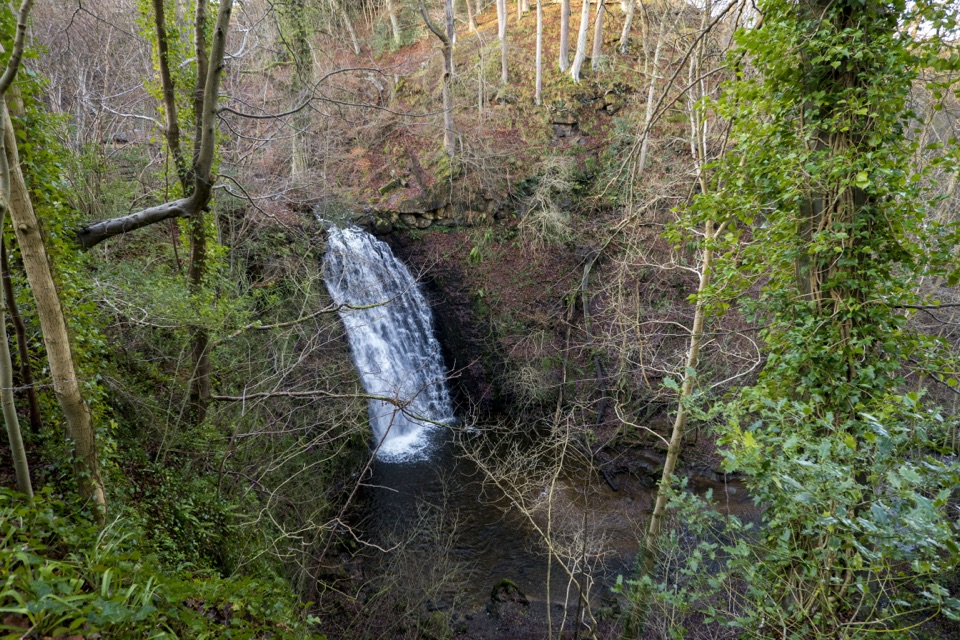
North York Moors National Park, EN
Shady woodland loop to a waterfall, tea garden and beckside path
Overview
Map & elevation
Plan your hike

The highest, rockiest slopes around here are a summer buffet for grizzly bears.
North York Moors Tour Guide
Parkwolf is a GPS audio tour guide for North York Moors National Park. As you drive, it chimes in with what’s ahead: hidden gems, upcoming stops, history, geology, and wildlife, right through your car’s speakers.
Recorded for this trailhead
May Beck and Falling Foss Walk“You're approaching May Beck, the starting point for a woodland loop that reaches Falling Foss and returns beside the beck.”
Plays as you drive up to this trailhead in the Parkwolf North York Moors Tour Guide.
More stories near here in the app
“Fantastic app with many points of information… It’s great to just turn on while you’re driving and it gives you an audio tour of the national Park. We love it!!!!”


Trail guide
A complete circular loop starting and finishing at the May Beck car park, measuring about 1.9 miles / 3.1 km on the official route track, which the official listing rounds to 2 miles / 3.2 km. Allow around 1.5 hours at a steady pace with time to look at the falls. It rates as moderate, roughly 4 out of 10 for effort.
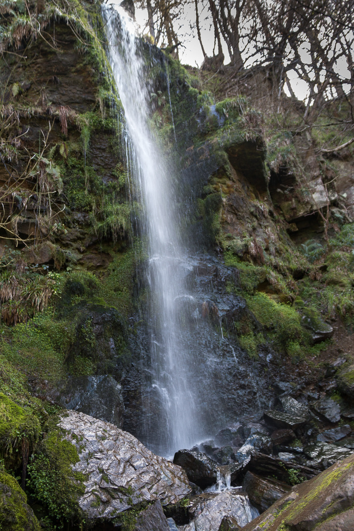
The payoff is a shady valley of oak, ash, alder and cherry, shallow water alongside the beck, and the waterfall itself set in the wooded valley.
This is a woodland walk on unsurfaced ground, and it is not an easy-going route from end to end.
There are steep drops near the waterfall, so keep well back from edges and keep children close. Take care on wet stone steps and on the narrow bridges, where there is little room to pass.
Dogs are welcome. Near the waterfall, with its steep drops, keep them on a short lead. Sheep may graze on the final section beside the beck, so keep dogs under close control on a short lead if livestock are present.
Parking is at the Forestry England car park at May Beck, with 28 spaces including 2 accessible spaces; charges may apply. There are no toilets on the route. The Falling Foss Tea Garden at Midge Hall sits beside the falls and serves refreshments seasonally, so treat it as a bonus rather than something to count on.
Wildlife
 15 sightingsEurasian OtterMost seen around 7 PMSighting map
 10 sightingsRed DeerMost seen around 7 AMSighting map
 79 sightingsGrey SealMost seen around noonSighting map
 26 sightingsWestern Barn OwlMost seen around 7 PMSighting map
 33 sightingsEuropean BadgerMost seen around 7 PMSighting map
 10 sightingsMute SwanMost seen around noonSighting map
Sighting maps show where each species has been reported across North York Moors. Wildlife moves, so no sighting is guaranteed.
Keep exploring
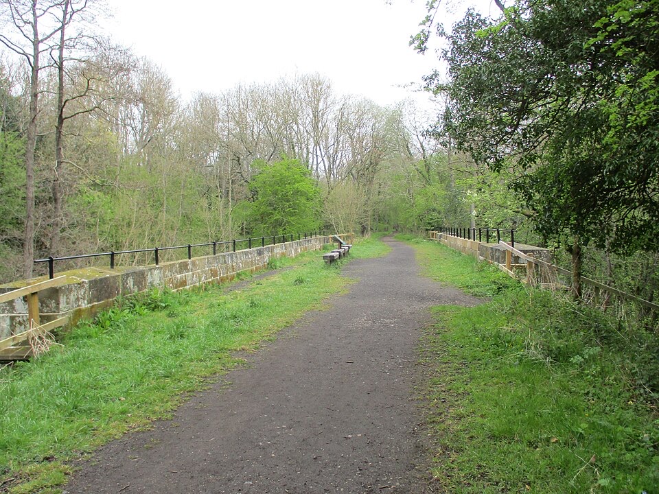 EasyGoathland to Grosmont Rail Trail5.6 km · 1.8 hr · 5.6 km awayGentle downhill walk along an 1836 railway line to Grosmont
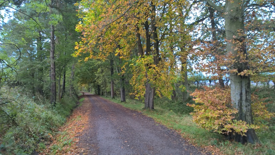 EasyGoathland Centenary Walk3.2 km · 1.3 hr · 5.9 km awayGentle two-mile village loop remembering 12 men lost in the Great War
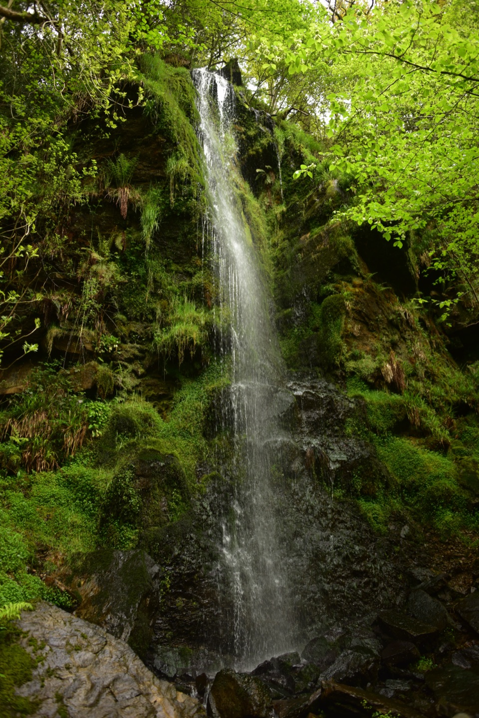 EasyMallyan Spout and Beck Hole4.3 km · 1.5 hr · 6 km awayA 70-foot ravine waterfall, then a wooded beck and old railway inclineModerateGoathland, Mallyan Spout and the Roman Road13.2 km · 4.3 hr · 6 km awayWaterfall ravine, open heather moor and an ancient moorland causeway
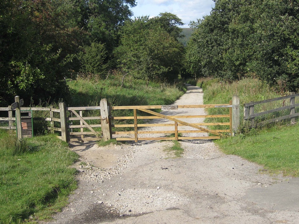 ModerateGoathland & Grosmont Circular12.4 km · 4.3 hr · 6 km awayWooded old railway down to Grosmont, then open moorland climb home
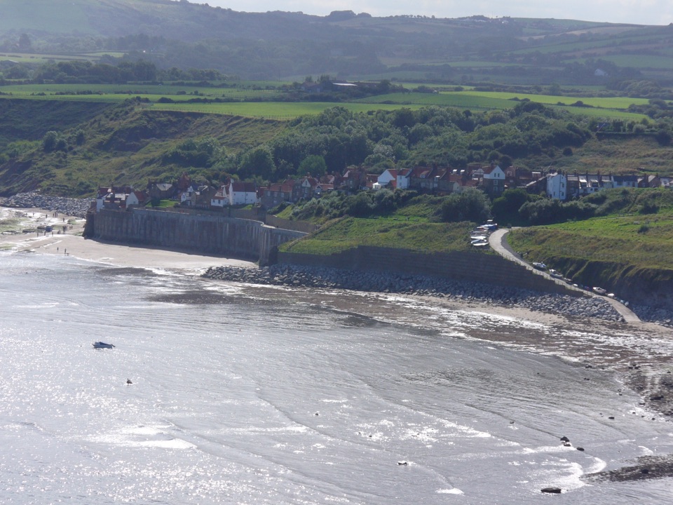 EasyRobin Hood's Bay Miles without Stiles Walk1.4 km · 45 min · 6.5 km awaySurfaced clifftop stroll to a sweeping view across the bay to Ravenscar
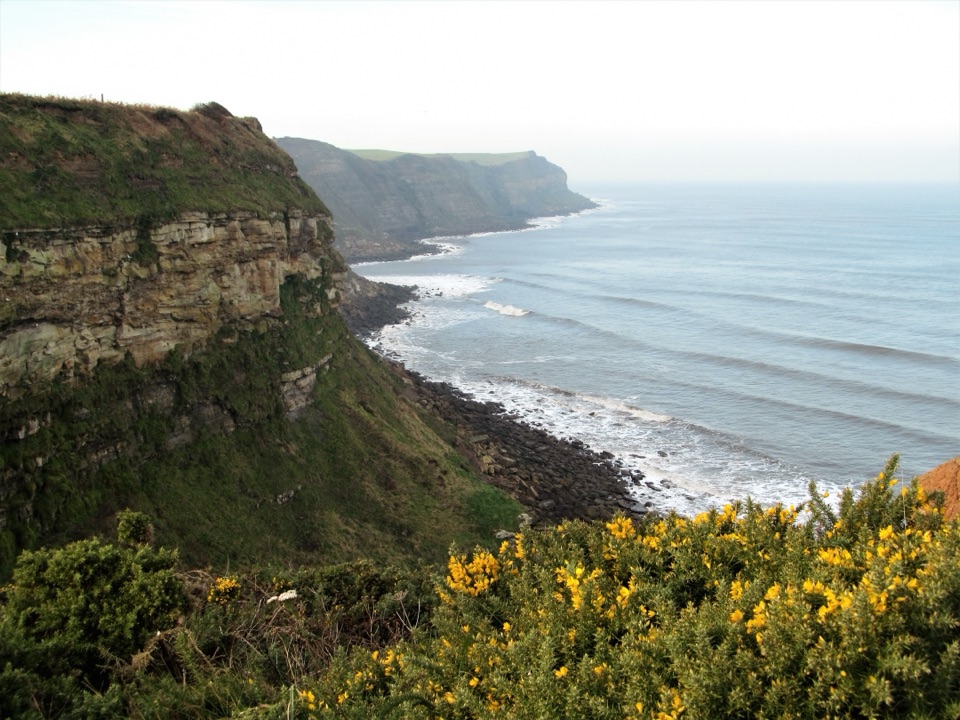 ModerateRobin Hood's Bay and Maw Wyke9.7 km · 4 hr · 6.6 km awayClifftop seabird views to a sheltered inlet, easy railway return
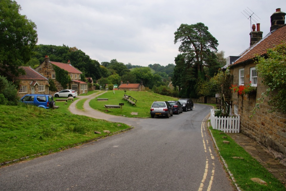 ModerateGrosmont to Beck Hole7.6 km · 2.3 hr · 7.2 km awayBluebell woods, riverside valley, then an old railway line homeSight · 1 km awayFalling Foss WaterfallA 9-metre fall of water in a steep, wooded valley near Whitby
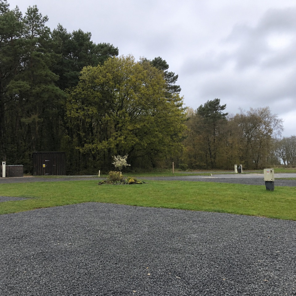 Campground · 1.5 km awayNorth Yorkshire Moors Club CampsiteQuiet wooded pitches with moorland views and walks from the gate
 Sight · 5.6 km awayGoathland StationGoathland Station: steam-age platform, Hogsmeade and Aidensfield on screen
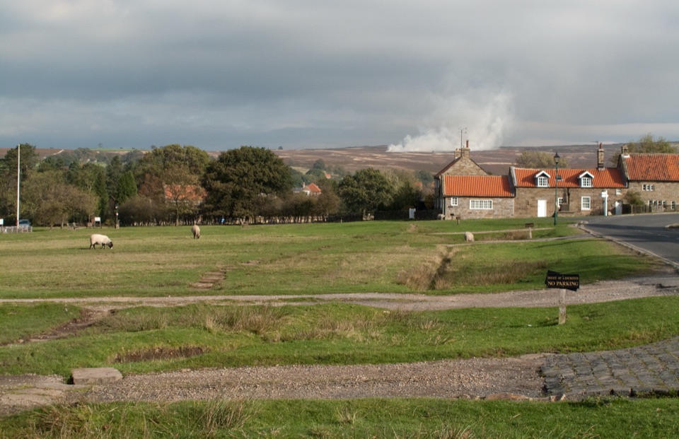 Sight · 6.1 km awayGoathlandSheep-grazed moorland village with a 70-foot waterfall below it
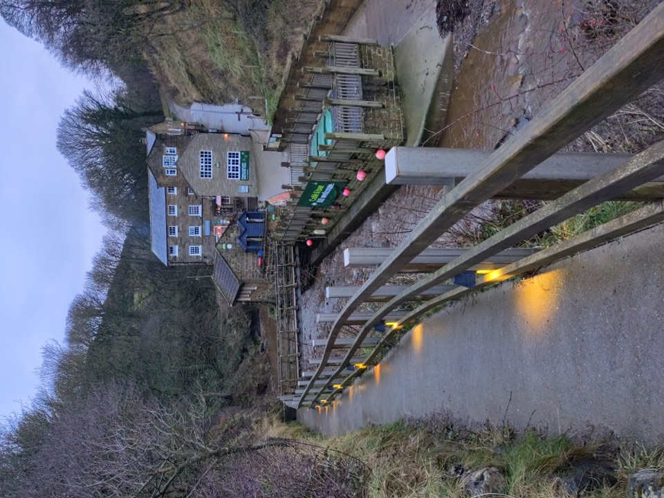 Beach · 6.4 km awayBoggle HoleTide-timed cove of ridged scaurs, rock pools and fossil-flecked shingle
 Sight · 6.5 km awayRobin Hood's Bay and BeachCobbled smugglers' village tumbling to Jurassic rock scaurs and rockpools
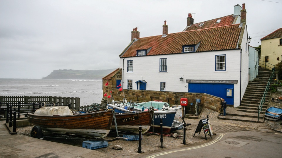 Sight · 6.5 km awayThe Old Coastguard StationSea-edge stone by the slipway, with rock scaurs at low tide
 Sight · 7 km awayMallyan Spout WaterfallSeventy feet of water down a wooded sandstone ravine near Goathland
Parkwolf’s North York Moors ranking

The audio tour guide for the drive, plus offline maps, trails, and wildlife heatmaps for when the signal drops.





