Miles without Stiles (For some) - Ravenscar in North York Moors National Park

North York Moors National Park, EN

Miles without Stiles (For some) - Ravenscar

Short cliff-top loops from Station Square, level or steeper options

Photo: Wikimedia Commons
Length
2.4km
Time
45min
Elev. change
64m
Difficulty
Easy
  • Loop
  • High point 191 m

Hear the audio tour

Ravenscar

Overview

About Miles without Stiles (For some) - Ravenscar

A complete circular walk of 2.4 km (1.5 miles) starting and finishing at Station Square in Ravenscar, taking around 45 minutes at an easy overall pace. That total distance covers both halves of a figure made up of two loops, so you can choose the more accessible northern loop, add the southern loop, or walk the whole thing. Total ascent and descent are 37 m each, with a highest point of 191 m and a lowest point of 166 m.

Why go

  • Short, scenic coastal loops from a historic planned resort site
  • Choice of a more accessible northern loop

Heads up

  • Southern loop has two kissing gates and a short steep section
  • Rough surfaces limit whole-route accessibility

Map & elevation

The route

Loading the North York Moors map
Full map
Elevation127–191 m
TrailheadStation Square, Ravenscar54.39741, -0.48463
Keep this map with you offline in the Parkwolf app

Plan your hike

Before you go

Parking

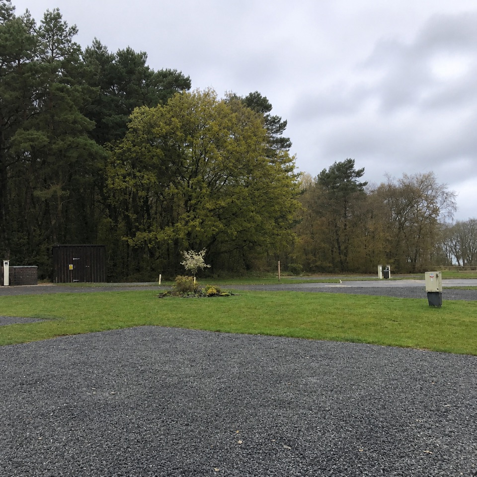
Station Square is the starting access at the end of the road through Ravenscar. Follow the track toward the coast to join the loops. An accessible public toilet is on the right as you drive into Ravenscar; food and drink are available at Station Square and Raven Hall Hotel.


Safety

The route runs close to sheer cliffs and erosion-prone ground. The southern loop has a 1:10 incline over about 100 m and two kissing gates; choose the northern loop if those barriers are outside your abilities.

8 active North York Moors alerts

  • ClosureHawnby Bridleway 110 closurePublic Bridleway 25.122/110/1 in Hawnby is closed to pedestrians, cyclists and equestrians because its bridge is unsafe. - The closure is between grid references SE 5309 9073 and SE 5335 9097.Official details
  • ClosureWest Ayton Footpath 1 closurePublic Footpath 1 in West Ayton (Forge Valley) is temporarily closed because its boardwalk is unsafe. - The closure is between SE 9860 8494 and SE 9839 8712.Official details
See all 8 alerts
A park ranger sits on a dash-mounted phone, talking, as Parkwolf’s Tour Guide plays “Army Cutworm Moths: A Grizzly Bear Buffet” on Grand Loop Road below Dunraven Pass in Yellowstone
Parkwolf Tour GuideThe highest, rockiest slopes around here are a summer buffet for grizzly bears.

North York Moors Tour Guide

Your drive to Miles without Stiles (For some) - Ravenscar, narrated.

Parkwolf is a GPS audio tour guide for North York Moors National Park. As you drive, it chimes in with what’s ahead: hidden gems, upcoming stops, history, geology, and wildlife, right through your car’s speakers.

Recorded for this trailhead

Ravenscar
0:00 / 0:33
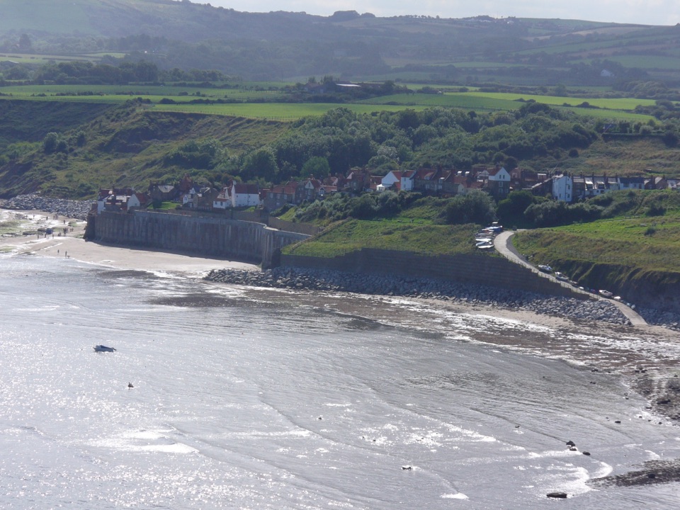
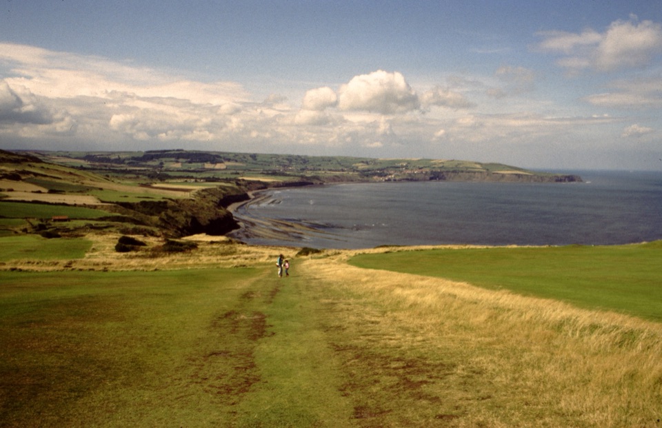
“You're approaching Ravenscar, high on the headland above the full sweep of Robin Hood's Bay. From the cliff-top path, frame the bay's long curve; this is the view that earns the stop.”

Plays as you drive up to this trailhead in the Parkwolf North York Moors Tour Guide.

More stories near here in the app

  • The Forest Below the Waves
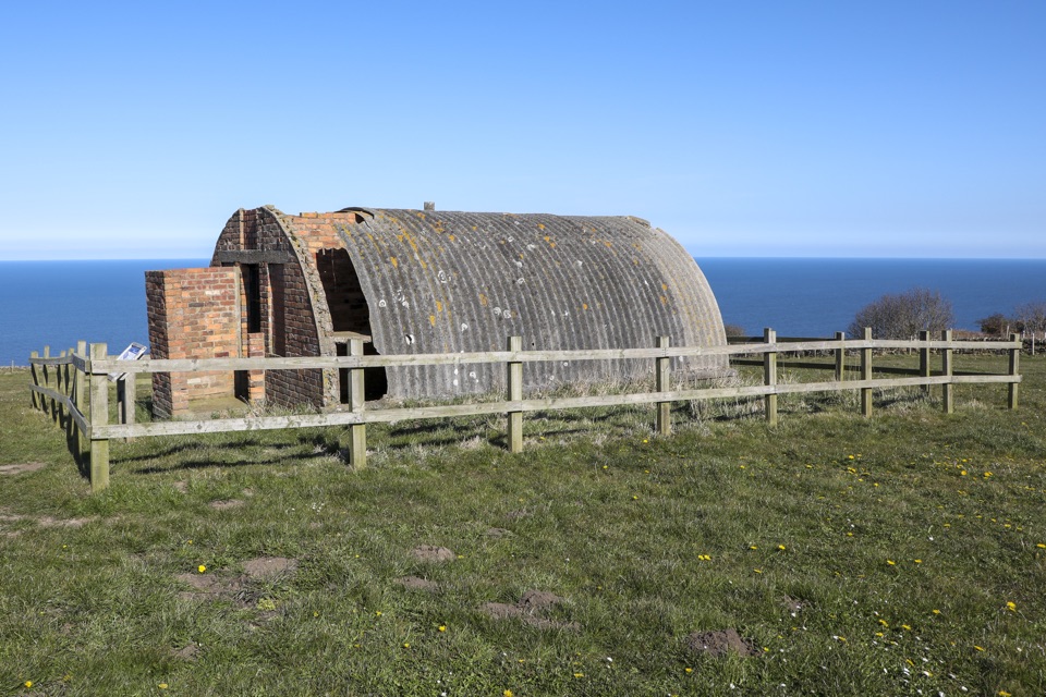
  • The Radar That Watched the Sea
  • The Name Built for a Town
  • The Colour in the Cliffs
  • 298 audio storiesacross North York Moors’s roads, triggered by GPS as you drive
  • Wildlife heatmapsfor Eurasian Otter, Red Deer, Grey Seal, and 13 more
  • Works offlinemaps, 126 trails, 65 places, and audio download before you lose signal
  • CarPlay readysimple controls built for the drive
★★★★★
“Fantastic app with many points of information… It’s great to just turn on while you’re driving and it gives you an audio tour of the national Park. We love it!!!!”
JMJamesApp Store review
Download Parkwolf on the App StoreGet Parkwolf on Google Play

4.7 from 8,600+ ratings

Trail guide

Hiking Miles without Stiles (For some) - Ravenscar

How the walk unfoldsFrom Station Square, follow the track out toward the coast.
  • From Station Square, follow the track out toward the coast.
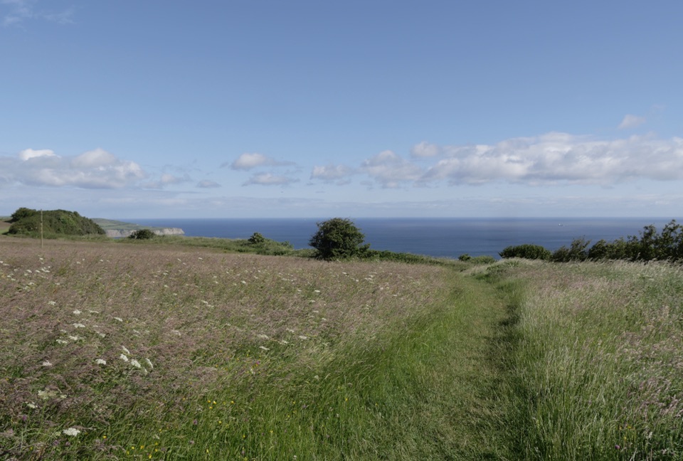
  • At the cliff edge the route splits. The northern loop is fairly level and is the gentler option.
  • The southern loop follows the Cleveland Way toward Raven Hall Hotel and the cliff viewpoint, then turns inland on a stone track to head back toward Station Square.
  • The route returns to the cliff edge for the southern section past the seat and the view down to Blea Wyke, then passes through two kissing gates and takes the rough stone track back to the square.
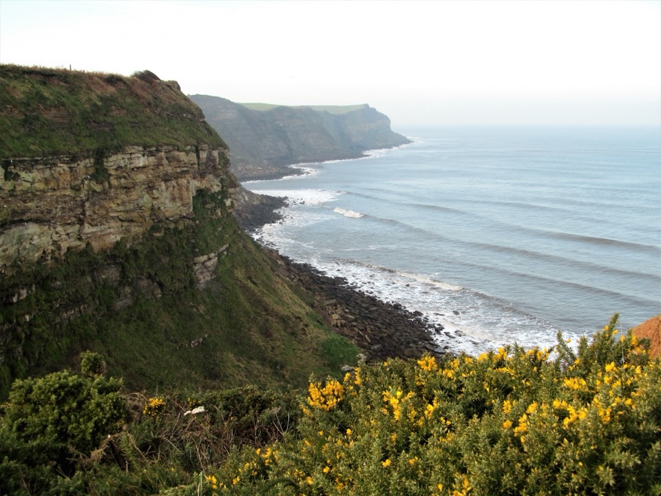
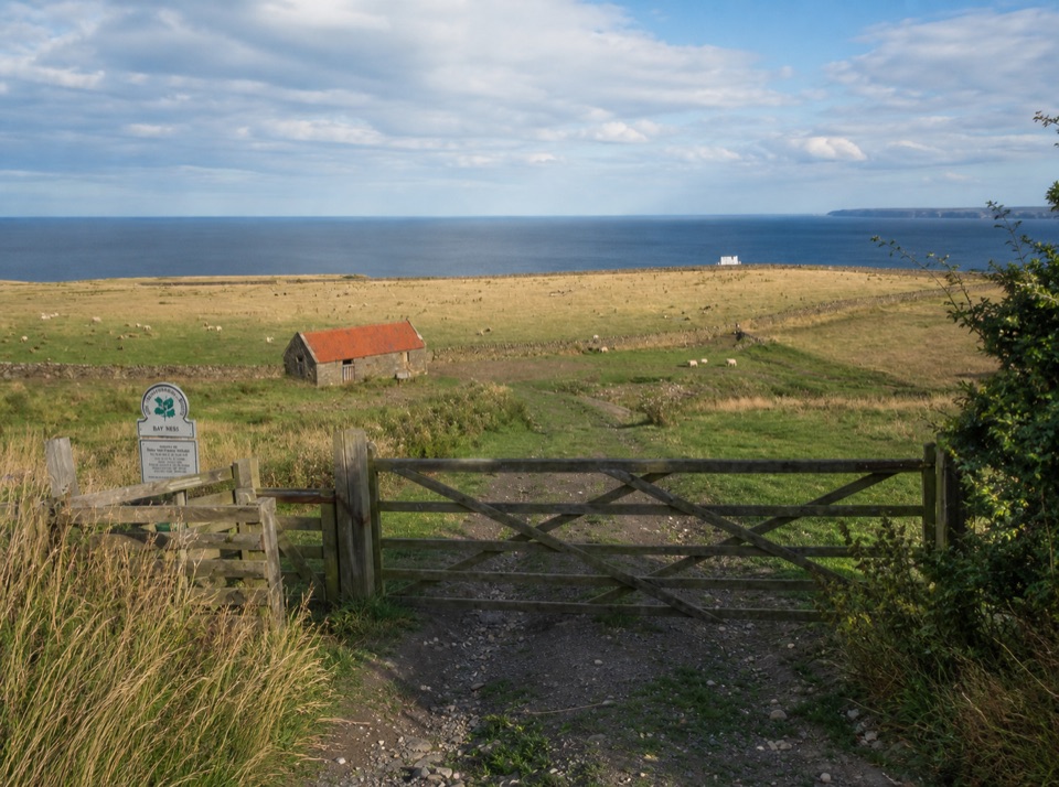
Views and historyThis is National Trust land, with open coastal scenery and views over sheer cliffs.

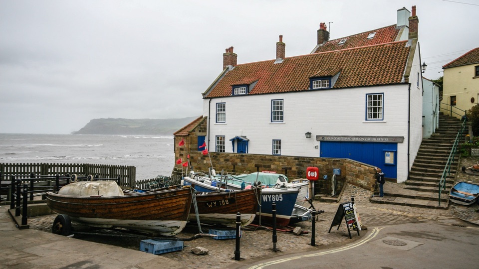
This is National Trust land, with open coastal scenery and views over sheer cliffs. Ravenscar itself is the site of an abandoned Victorian resort development: the grand plan never filled in, leaving Station Square, a scattering of roads, a hotel, and fragments of the old infrastructure behind. Spring and early summer bring wildflowers in the cliff-edge hayfield, and low light early or late in the day suits the long coastal views.

Surfaces, gradient and gatesUnderfoot the path is mainly compact earth, short grass, or aggregate, and it is rough in…

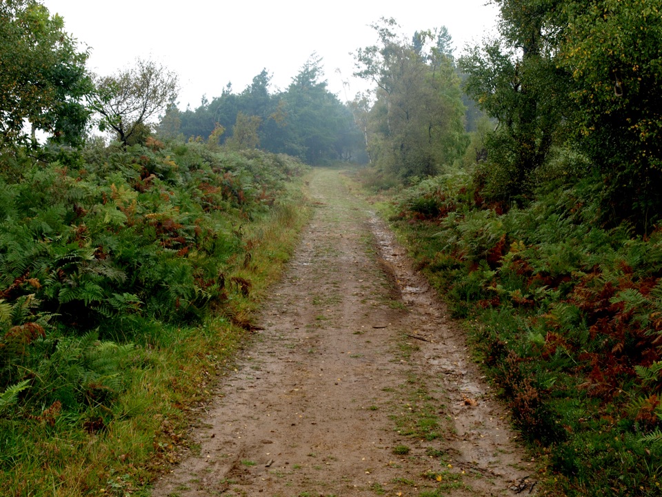
Underfoot the path is mainly compact earth, short grass, or aggregate, and it is rough in places. The southern loop includes a short 1:10 incline over about 100 m, which is the steepest part of the walk, plus the two kissing gates. The final stretch back to Station Square is a rough stone track.

Access: "For some"The official classification is "For some," which is a guide rather than a guarantee, and the…

The official classification is "For some," which is a guide rather than a guarantee, and the walk is not fully accessible as a whole. The northern loop is likely suitable for a pushchair, wheelchair, or mobility scooter. The southern loop is not suitable for mobility scooters, wheelchairs, or pushchairs because of the kissing gates and the short incline. If you need level, gate-free ground, walk the northern loop and return the way you came.

Getting there and facilitiesFrom Scarborough, take the A171 toward Whitby and turn off for Ravenscar after Cloughton.

From Scarborough, take the A171 toward Whitby and turn off for Ravenscar after Cloughton. Follow the road as it bends sharply right and continue until it ends at Station Square. Park there and follow the track toward the coast to join the route. There is an accessible public toilet on the right as you drive into Ravenscar, and food and drink at the Ravenscar Tearooms on Station Square and at Raven Hall Hotel. Availability of these can vary, so plan for the possibility that they are closed when you arrive.

SafetyThe walk runs close to sheer cliffs and erosion-prone ground, so keep well back from the edge…

The walk runs close to sheer cliffs and erosion-prone ground, so keep well back from the edge and supervise children closely. Expect rough surfaces, a short steepish section, and two kissing gates, and choose footwear accordingly.

A longer alternativeIf you want a much bigger day out, the full Ravenscar to Robin Hood's Bay coastal walk is a…

If you want a much bigger day out, the full Ravenscar to Robin Hood's Bay coastal walk is a considerably longer and more demanding route. It is a separate outing rather than an extension of this short circular walk.

Wildlife

Wildlife in North York Moors

All North York Moors wildlife maps

Sighting maps show where each species has been reported across North York Moors. Wildlife moves, so no sighting is guaranteed.

Keep exploring

Near Miles without Stiles (For some) - Ravenscar

See it all on the map

Trails that start nearby

Places near the trailhead

Parkwolf’s North York Moors ranking

Top-rated trails in North York Moors

All 126 trails
  1. 1Cleveland Way National TrailChallenging · 175.4 km
  2. 2Coast to Coast Path National TrailChallenging · 305.8 km
  3. 3Roseberry Topping and Cook’s MonumentModerate · 11.6 km
  4. 4Levisham Moor & Hole of HorcumModerate · 8.4 km
  5. 5Ravenscar to Robin Hood's BayChallenging · 17.7 km
  6. 6Lyke Wake WalkChallenging · 64.7 km

Take Parkwolf to North York Moors.

The audio tour guide for the drive, plus offline maps, trails, and wildlife heatmaps for when the signal drops.

4.7 from 8,600+ ratings

Download Parkwolf on the App StoreGet Parkwolf on Google Play