Cote Ghyll Caravan Park and Campsite in North York Moors National Park

Campground · North York Moors National Park

Cote Ghyll Caravan Park and Campsite

Terraced pitches in a wooded stream valley, minutes from Osmotherley

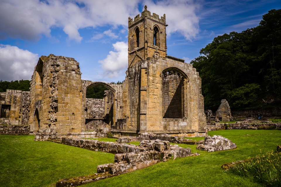
Photo: Wikimedia Commons
Type
Campground
Nearest trail
0.8 km
Audio stories
4 nearby
  • Restrooms
  • Parking
  • Food
  • Store

Hear the audio tour

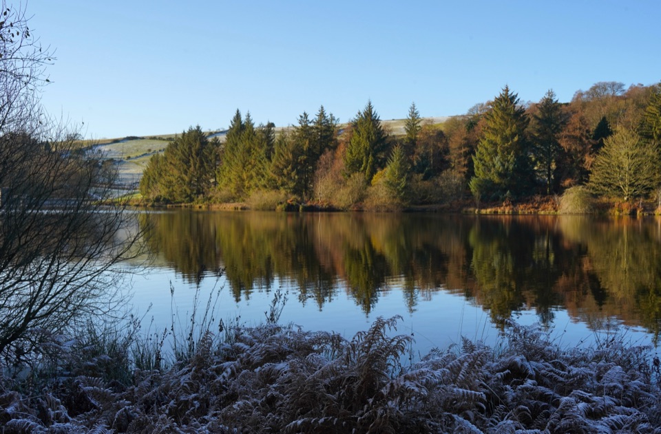
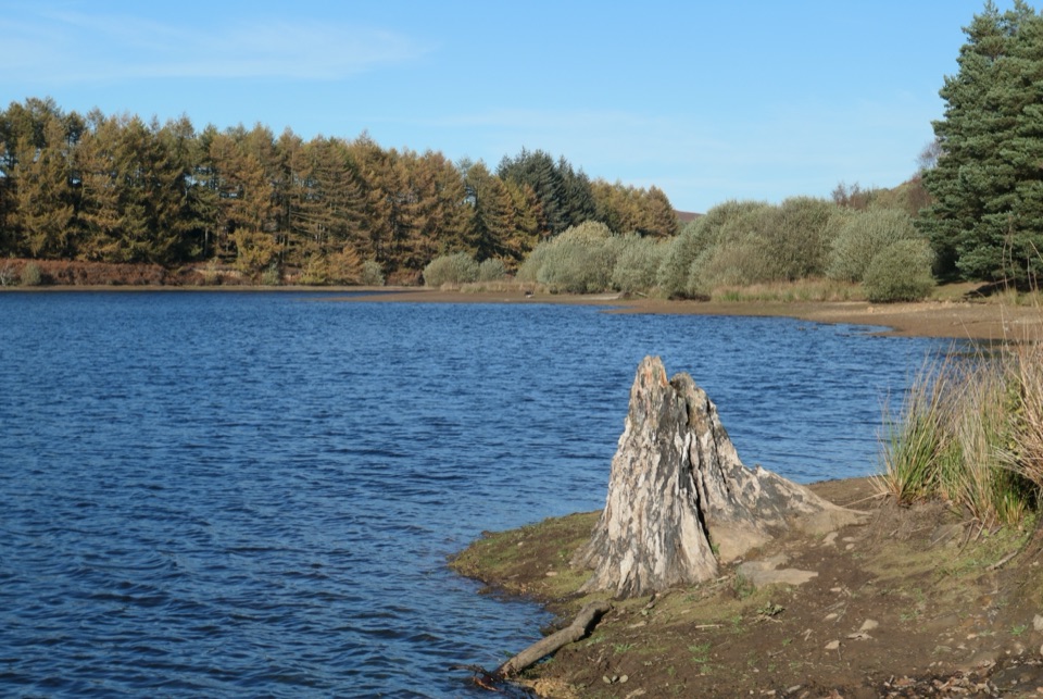
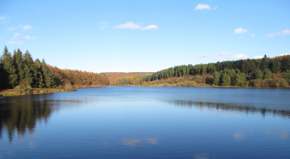
Cod Beck Reservoir and Sheep Wash

Overview

About Cote Ghyll Caravan Park and Campsite

Why stop

  • Quiet upper pitches beside woodland
  • Stream, play areas and walks suit families

Heads up

  • Terraced slopes can be awkward for larger units
  • Lower family pitches can be lively in holidays

Map

Where it is

Loading the North York Moors map
Full map
CampgroundCote Ghyll Caravan Park and Campsite54.37478, -1.29366
Keep this map with you offline in the Parkwolf app

Plan your stop

Before you go

Getting there

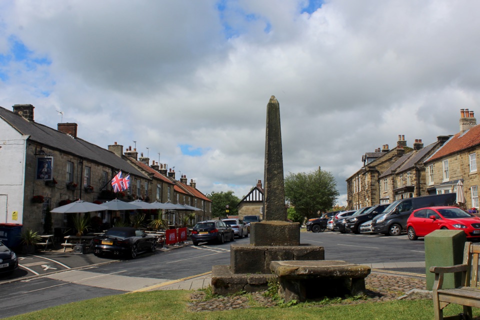
Leave the A19 at the A684 Northallerton and Osmotherley exit, drive into Osmotherley, turn left at the T-junction by the village cross, and the entrance is around a quarter mile out on the right. Do not take the Thimbleby exit, which is where sat navs tend to send people wrong. Nearest stations are Thirsk or Northallerton, with buses into Osmotherley village centre from Northallerton and Stokesley.


8 active North York Moors alerts

  • ClosureHawnby Bridleway 110 closurePublic Bridleway 25.122/110/1 in Hawnby is closed to pedestrians, cyclists and equestrians because its bridge is unsafe. - The closure is between grid references SE 5309 9073 and SE 5335 9097.Official details
  • ClosureWest Ayton Footpath 1 closurePublic Footpath 1 in West Ayton (Forge Valley) is temporarily closed because its boardwalk is unsafe. - The closure is between SE 9860 8494 and SE 9839 8712.Official details
See all 8 alerts
A park ranger sits on a dash-mounted phone, talking, as Parkwolf’s Tour Guide plays “Army Cutworm Moths: A Grizzly Bear Buffet” on Grand Loop Road below Dunraven Pass in Yellowstone
Parkwolf Tour GuideThe highest, rockiest slopes around here are a summer buffet for grizzly bears.

North York Moors Tour Guide

Your drive to Cote Ghyll Caravan Park and Campsite, narrated.

Parkwolf is a GPS audio tour guide for North York Moors National Park. As you drive, it chimes in with what’s ahead: hidden gems, upcoming stops, history, geology, and wildlife, right through your car’s speakers.

Recorded for this area

Cod Beck Reservoir and Sheep Wash
0:00 / 0:31
“You're approaching the Sheep Wash access for Cod Beck Reservoir, a quiet lake edged by pines and open moor.”

Plays on the road 1.5 km from Cote Ghyll Caravan Park and Campsite in the Parkwolf North York Moors Tour Guide.

More stories near here in the app

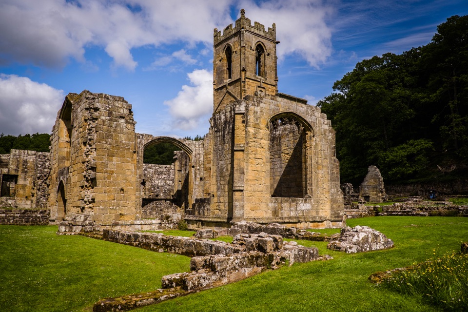
  • Mount Grace Priory
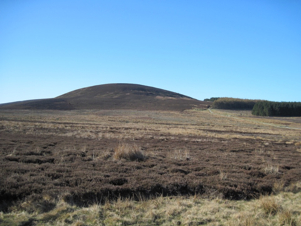
  • Black Hambleton from Square Corner
  • The Meal Through the Wall
  • The Bells of Mount Grace
  • 298 audio storiesacross North York Moors’s roads, triggered by GPS as you drive
  • Wildlife heatmapsfor Eurasian Otter, Red Deer, Grey Seal, and 13 more
  • Works offlinemaps, 126 trails, 65 places, and audio download before you lose signal
  • CarPlay readysimple controls built for the drive
★★★★★
“Fantastic app with many points of information… It’s great to just turn on while you’re driving and it gives you an audio tour of the national Park. We love it!!!!”
JMJamesApp Store review
Download Parkwolf on the App StoreGet Parkwolf on Google Play

4.7 from 8,600+ ratings

Guide

More about Cote Ghyll Caravan Park and Campsite

Why stay hereThis is a practical, well-kept base rather than a destination in itself.

This is a practical, well-kept base rather than a destination in itself. It sits in a fold of the moors on the edge of Osmotherley, about a quarter mile from the village cross, so you can walk in for a pint or a shop and walk straight out onto local paths. Good for families, and equally good for couples who want a tidy pitch and an early start on the hills.

The settingPitches are cut into terraces on a slope, with a stream running through the lower ground and…

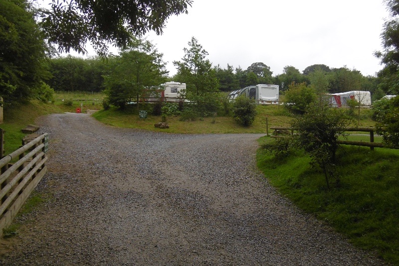
Pitches are cut into terraces on a slope, with a stream running through the lower ground and pockets of quiet woodland higher up. The valley position makes it sheltered and green, and the old mill buildings by the water (also run by the park, as a hostel) give the entrance a settled, lived-in feel rather than a bare field.

What's providedGrass pitches with 10-amp electric hook-up, all-weather hardstanding pitches, and superpitches…
  • Grass pitches with 10-amp electric hook-up, all-weather hardstanding pitches, and superpitches adding water and a TV connection. There's also a solo-traveller option.
  • Tents welcome, dogs welcome, and drinking water on site.
  • Two shower and toilet blocks, both with underfloor heating, privacy showers or wash cubicles, hair and hand dryers and shaver points. One has a family shower room, power showers, USB points, a dog wash and grooming station, and a bookable sauna; the other has laundry, a drying cabinet, and accessible toilet and shower rooms.
  • On-site shop (food, drinks, fresh pastries, milk, frozen food, household basics, toys) plus a cafe and takeaway for nights you don't want to cook.
  • Two enclosed play areas with sand ground covering, climbing frames, swings and slides, a playing field, and a short nature and stream walk.
Where to pitchLower, family areas sit close to the play parks and the stream.
  • Lower, family areas sit close to the play parks and the stream. Convenient with children, and livelier for it.
  • Higher, woodland-edge areas are quieter and better suited to couples. Ask about an upper pitch when you book if peace matters, though you can't count on one being free.
  • The park typically runs a March to October season, so plan around that; late spring and early autumn are the calmest weeks for walking.
Honest drawbacksThe layout is hilly and terraced, so pitches slope in places and manoeuvring takes patience.
  • The layout is hilly and terraced, so pitches slope in places and manoeuvring takes patience. Some pitches and the approach can feel tight for larger units, so give measurements when booking.
  • Pitches vary: a few sit close to the facilities blocks or to neighbours, and the lower family sections carry more noise during school holidays.
  • Mobile signal can be weak down in the dip. Download maps and directions before you arrive rather than relying on data at the gate.
  • The accessible facilities are real, but the sloping site means getting between your pitch and the blocks won't suit everyone. Worth checking the specifics for your needs first.

Wildlife

Wildlife in North York Moors

All North York Moors wildlife maps

Sighting maps show where each species has been reported across North York Moors. Wildlife moves, so no sighting is guaranteed.

Parkwolf’s North York Moors ranking

Top sights in North York Moors

All 65 places
  1. 1North Yorkshire Moors RailwaySight
  2. 2Roseberry ToppingSight
  3. 3Rievaulx AbbeySight
  4. 4Robin Hood's Bay and BeachSight
  5. 5Hole of HorcumSight
  6. 6Goathland StationSight

Take Parkwolf to North York Moors.

The audio tour guide for the drive, plus offline maps, trails, and wildlife heatmaps for when the signal drops.

4.7 from 8,600+ ratings

Download Parkwolf on the App StoreGet Parkwolf on Google Play