Parking
Point-to-point stage. Arrange a drop-off at Ingleby Cross; the finish is at Clay Bank Top by the B1257, with the Clay Bank car park and picnic area about 2.4 miles (4 km) south of Great Broughton.
North York Moors National Park, EN
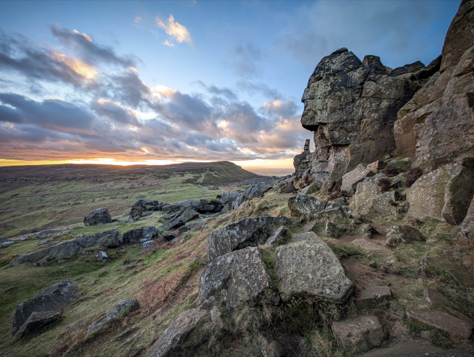
Big moorland climbs to the Wainstones on the Cleveland escarpment
Overview
Map & elevation
Plan your hike

The highest, rockiest slopes around here are a summer buffet for grizzly bears.
North York Moors Tour Guide
Parkwolf is a GPS audio tour guide for North York Moors National Park. As you drive, it chimes in with what’s ahead: hidden gems, upcoming stops, history, geology, and wildlife, right through your car’s speakers.
Recorded for this area
The Meal Through the Wall“At Mount Grace Priory, look beside the reconstructed monk’s cell door for a hatch that turns a corner. A lay brother used it to pass in meals and other essentials.”
Plays on the road 0.3 km from the trailhead in the Parkwolf North York Moors Tour Guide.
More stories near here in the app
“Fantastic app with many points of information… It’s great to just turn on while you’re driving and it gives you an audio tour of the national Park. We love it!!!!”


Trail guide
This is a one-way point to point stage of about 11.8 miles (19 km), running west to east along the Cleveland escarpment. Allow around 7 hours of walking, plus stops.
From Ingleby Cross the route passes Carr Bridge and Arncliffe Hall, climbs through Arncliffe Wood and Tire Bank, then joins the Cleveland Way over Scarth Wood Moor and Clain Wood. Green Lane and Swine Park lead to Live Moor Plantation, Round Hill and Faceby Bank, then Carlton Moor and Lordstones Country Park. The final stretch crosses Cringle Moor and Kirkby Bank, passes Donna Cross and the Wainstones, and finishes at the Clay Bank Top saddle.
Rate this one hard. There are repeated, sustained and steep climbs, with roughly 927 m of total ascent reported for the stage. Underfoot you get moorland tracks, bridleways, footpaths and short sections of minor road linking, with rough ground in places. Heights run from around 77 m near the start to sampled ground near 404 m on the high moors, finishing near 271 m.
The reward is wide open moorland and long valley views for much of the day. Carlton Moor and Cringle Moor are the high points for scale, Lordstones sits at a natural halfway break, and the Wainstones rock formation is the standout feature near the end.
The escarpment tops are open and exposed, with little shelter between climbs. Navigational care is needed in poor visibility, so carry a map and compass and know your escape options. Watch footing on the rougher, stony sections and on the steep descents into each saddle.
Because this is a point to point stage, arrange a drop off at Ingleby Cross. At the eastern end, the Clay Bank car park and picnic area sits on the B1257, about 2.4 miles (4 km) south of Great Broughton. Plan your pick up or return transport before you start.
Dogs are welcome on the rights of way here. Keep them on a short lead or under close control around livestock and nesting birds, and follow local access rules on the open moor.
Wildlife
 15 sightingsEurasian OtterMost seen around 7 PMSighting map
 10 sightingsRed DeerMost seen around 7 AMSighting map
 79 sightingsGrey SealMost seen around noonSighting map
 26 sightingsWestern Barn OwlMost seen around 7 PMSighting map
 33 sightingsEuropean BadgerMost seen around 7 PMSighting map
 10 sightingsMute SwanMost seen around noonSighting map
Sighting maps show where each species has been reported across North York Moors. Wildlife moves, so no sighting is guaranteed.
Keep exploring
 ChallengingLyke Wake Walk64.7 km · 18 hr · 2.3 km awayA brutal 40-mile moorland crossing from Osmotherley to Ravenscar
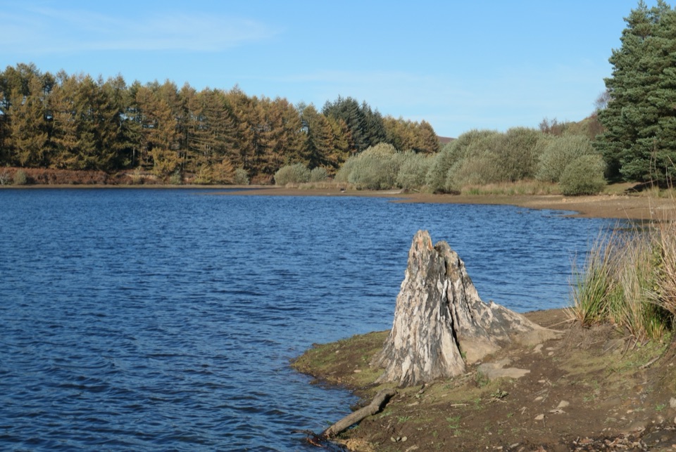 EasyCod Beck Reservoir Circular2.4 km · 1 hr · 2.3 km awayWide, level shoreline loop with an embankment crossing and woodland bridge
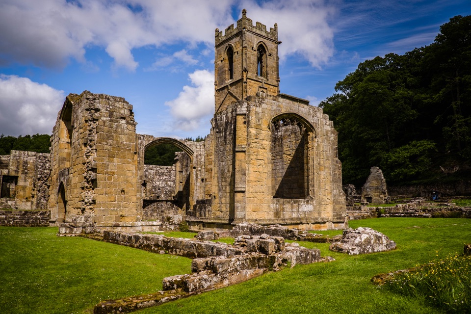 ModerateOsmotherley and Mount Grace5.2 km · 3 hr · 3.5 km awayRuined priory, hillside chapel and a steep wooded climb back
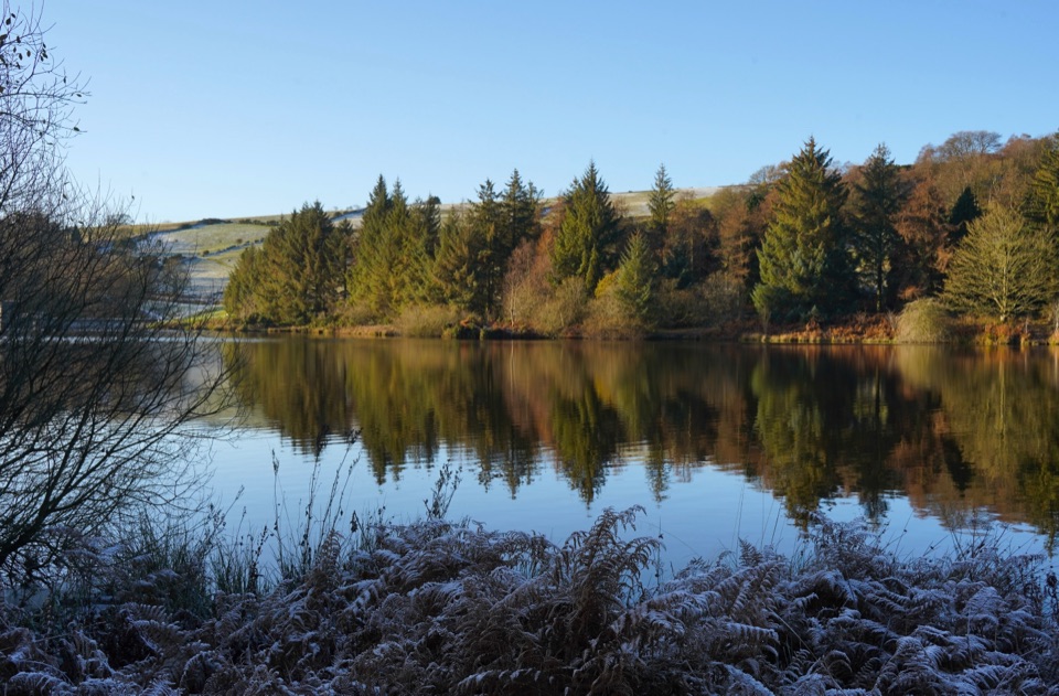 ModerateOsmotherley and Cod Beck8.2 km · 2.5 hr · 3.5 km awayMoorland climb, radio mast views, reservoir woods, then Cleveland Way home
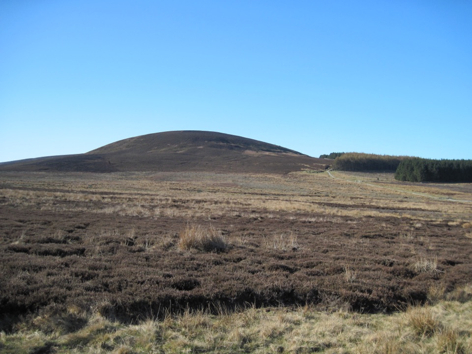 ModerateBlack Hambleton Walk12.9 km · 3.8 hr · 5.6 km awayQuiet moorland loop to the Hambleton Hills' highest point, wide vale views
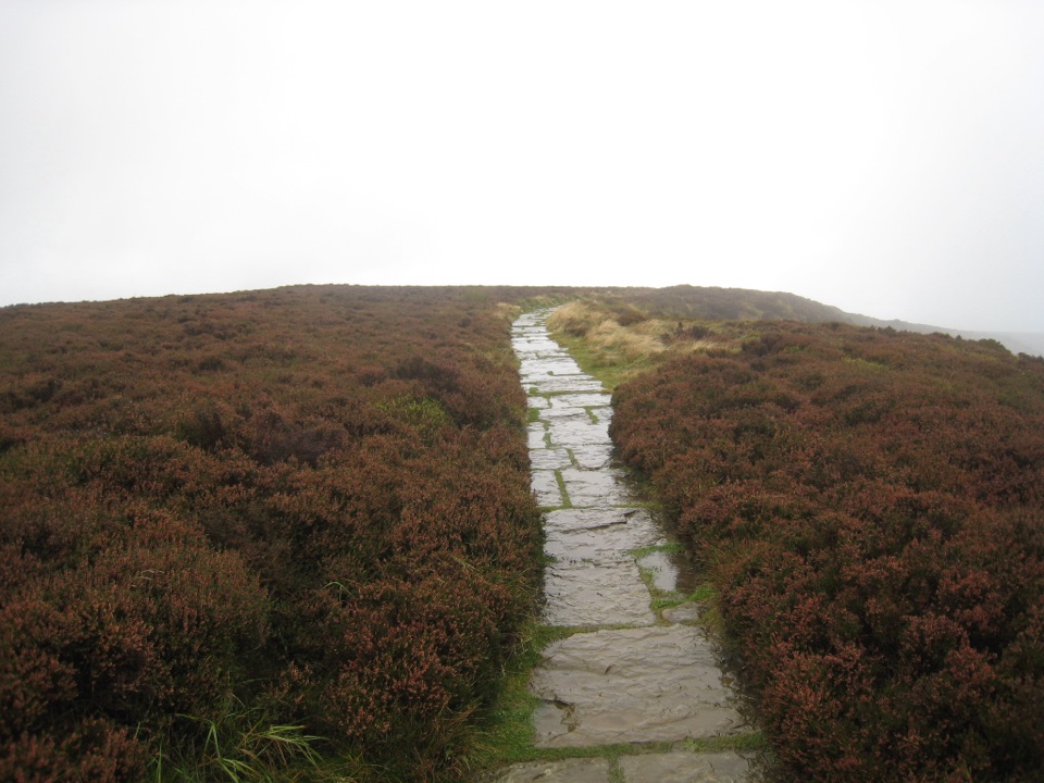 EasyLord Stones Walk4.4 km · 1.4 hr · 7.8 km awaySteep pitched climb to a stone seat above the wide Cleveland plain
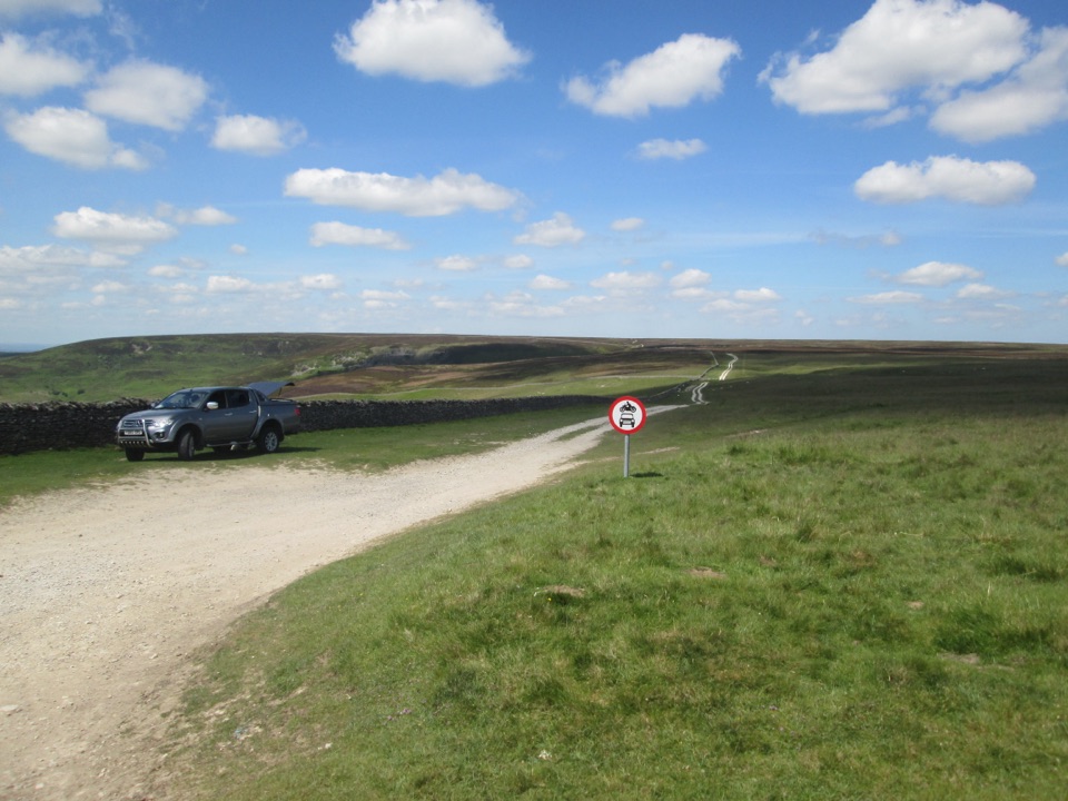 EasyMiles without Stiles (For many) - Hambleton Drove Road2 km · 45 min · 10 km awayAncient drovers' road to a wide Thorodale viewpoint, gentle and short
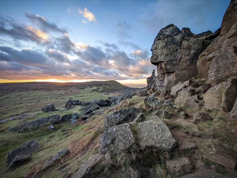 ChallengingCold Moor and Urra Moor Walk14.3 km · 5.3 hr · 11 km awayA 14.3 km moorland loop from Chop Gate over the Wainstones ridge
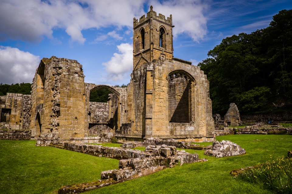 Sight · 2.1 km awayMount Grace Priory, House and GardensRebuilt monk's cell, ruined Carthusian cloister, 13 acres of gardens
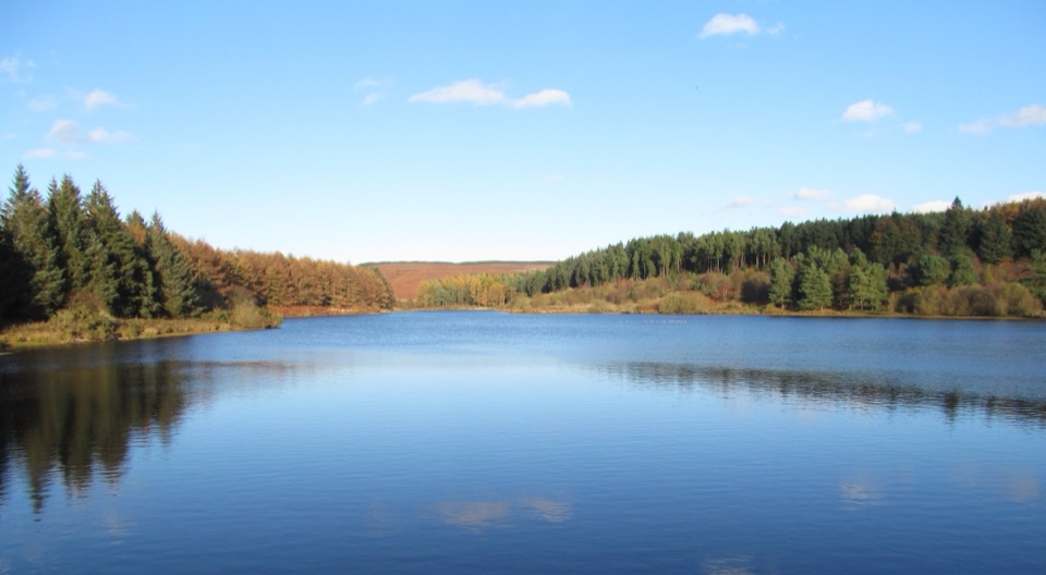 Sight · 2.4 km awayCod Beck ReservoirQuiet moor-edge reservoir with an easy, mostly flat 1.5-mile loop
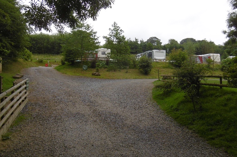 Campground · 2.9 km awayCote Ghyll Caravan Park and CampsiteTerraced pitches in a wooded stream valley, minutes from Osmotherley
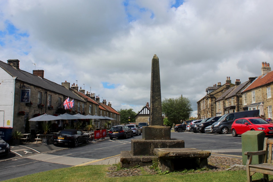 Sight · 3.5 km awayOsmotherleyStone-built walking village with a green, cross and drovers' history
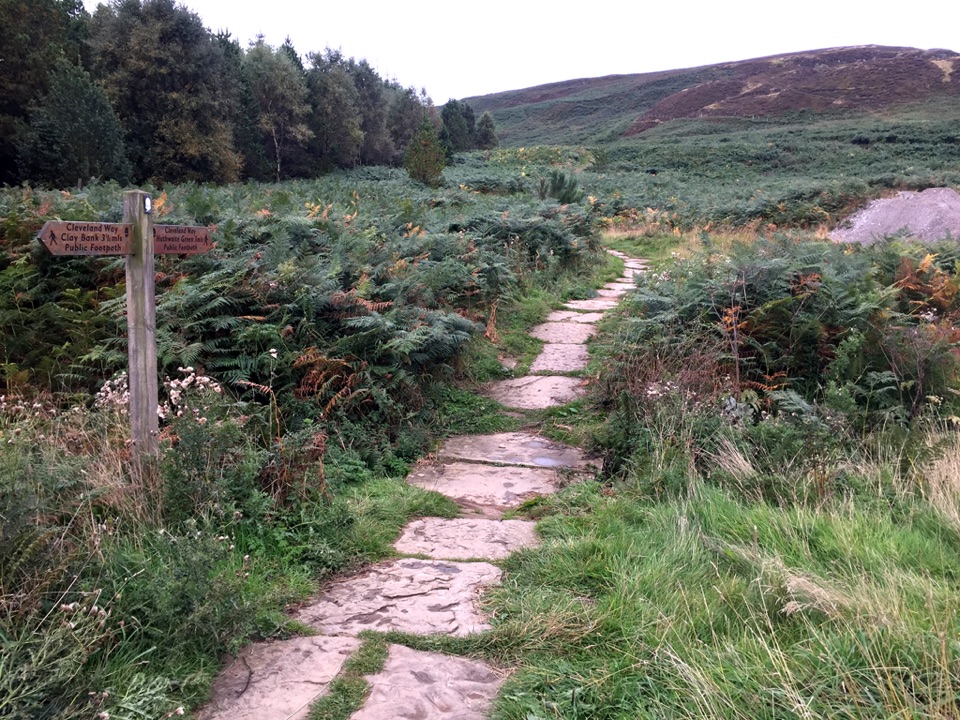 Sight · 7.8 km awayLord Stones Country ParkMoorland trailhead with cafe, camping and wide views across the plain
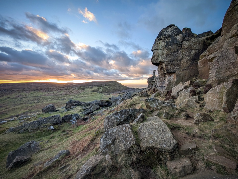 Sight · 11.3 km awayThe WainstonesSandstone pillars up a sharp climb from Clay Bank car park
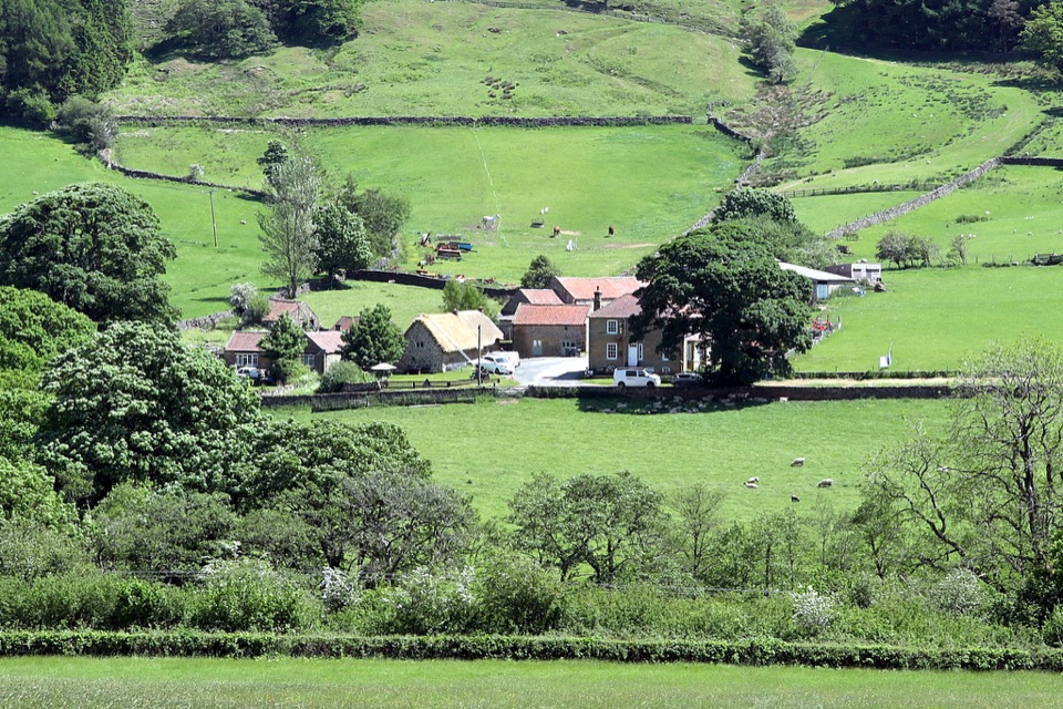 Sight · 14.3 km awaySpout House, BilsdaleThatched cruck-framed longhouse that served ale for two centuries
Parkwolf’s North York Moors ranking

The audio tour guide for the drive, plus offline maps, trails, and wildlife heatmaps for when the signal drops.




