Cod Beck Reservoir in North York Moors National Park

Sight · North York Moors National Park

Cod Beck Reservoir

Quiet moor-edge reservoir with an easy, mostly flat 1.5-mile loop

Photo: Wikimedia Commons
Type
Sight
Nearest trail
0.5 km
Audio stories
3 nearby
  • Parking

Hear the audio tour

Cod Beck Reservoir and Sheep Wash

Overview

About Cod Beck Reservoir

Why stop

  • Pleasant woodland and open-water scenery
  • Benches and grassy spots for a picnic

Heads up

  • The scenery is pleasant rather than dramatic
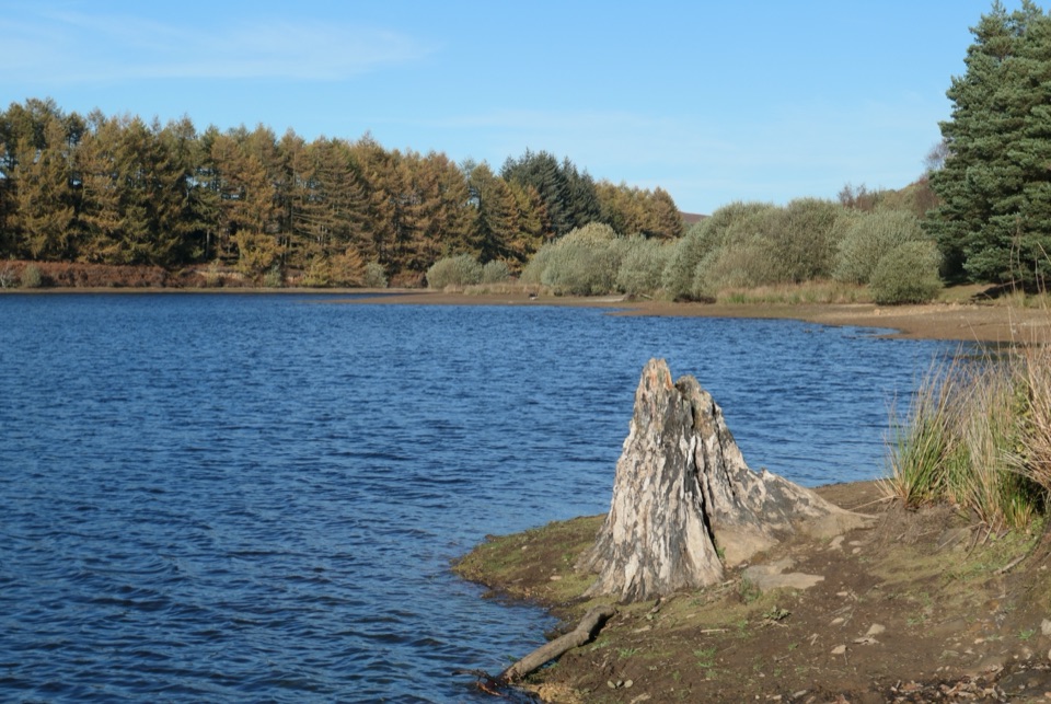
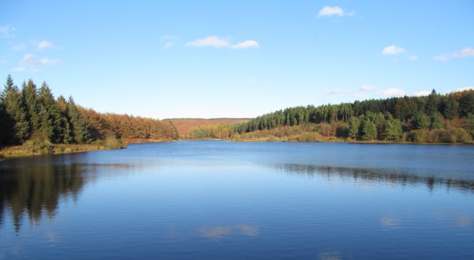
A man-made lake completed in 1953, sitting in a shallow valley of conifers and moor edge about a mile north of Osmotherley. It works best as a short, easy scenic walk or a picnic stop when you are already in the Osmotherley area or walking nearby, rather than a destination worth a long detour on its own. The water is held back to maintain flow downstream, and it is managed as working water supply land rather than a recreation park.
Parkwolf’s verdictWhy stop

Map

Where it is

Loading the North York Moors map
Full map
SightCod Beck Reservoir54.38285, -1.28574
Keep this map with you offline in the Parkwolf app

Plan your stop

Before you go

Best time to go

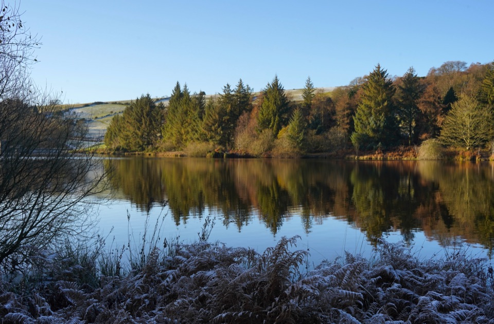
Early morning or a quieter weekday is the safest bet for both a parking space and a peaceful walk, since the small car parks are very limited and fill quickly on fine weekends. Low-angle morning or evening light gives the best reflections on the water.


Access, parking and facilities

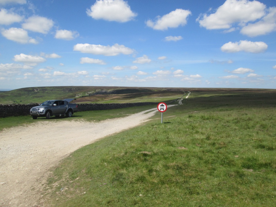
  • Access is from the north side, in the Sheep Wash area, reached by driving through Osmotherley to North End and continuing north. Postcode DL6 3AL.
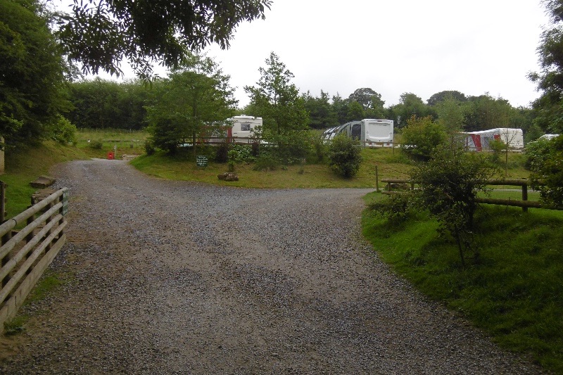
  • There are two small car parks, and space is very limited.
  • If they are full, do not park on the roadside: a two-mile clearway operates through the Sheepwash area.
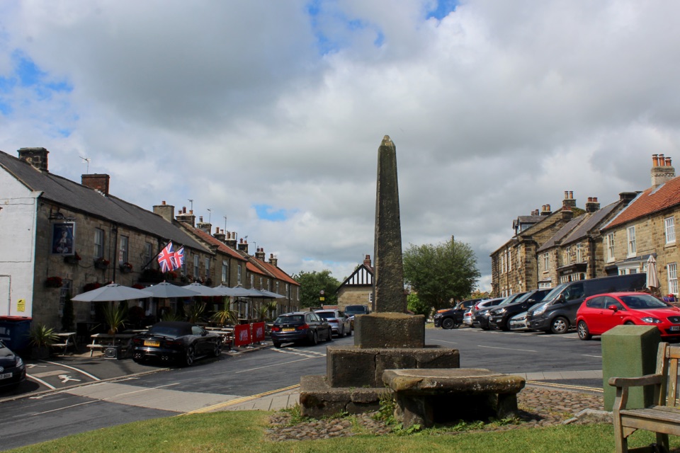
  • There are no toilets at the reservoir. The nearest public toilets are in Osmotherley, by the village hall, and the village also has a small shop.
  • There is no public transport to the reservoir.

8 active North York Moors alerts

  • ClosureHawnby Bridleway 110 closurePublic Bridleway 25.122/110/1 in Hawnby is closed to pedestrians, cyclists and equestrians because its bridge is unsafe. - The closure is between grid references SE 5309 9073 and SE 5335 9097.Official details
  • ClosureWest Ayton Footpath 1 closurePublic Footpath 1 in West Ayton (Forge Valley) is temporarily closed because its boardwalk is unsafe. - The closure is between SE 9860 8494 and SE 9839 8712.Official details
See all 8 alerts
A park ranger sits on a dash-mounted phone, talking, as Parkwolf’s Tour Guide plays “Army Cutworm Moths: A Grizzly Bear Buffet” on Grand Loop Road below Dunraven Pass in Yellowstone
Parkwolf Tour GuideThe highest, rockiest slopes around here are a summer buffet for grizzly bears.

North York Moors Tour Guide

Your drive to Cod Beck Reservoir, narrated.

Parkwolf is a GPS audio tour guide for North York Moors National Park. As you drive, it chimes in with what’s ahead: hidden gems, upcoming stops, history, geology, and wildlife, right through your car’s speakers.

Recorded for this place

Cod Beck Reservoir and Sheep Wash
0:00 / 0:31
“You're approaching the Sheep Wash access for Cod Beck Reservoir, a quiet lake edged by pines and open moor.”

Plays as you drive up to Cod Beck Reservoir in the Parkwolf North York Moors Tour Guide.

More stories near here in the app

  • Mount Grace Priory
  • The Meal Through the Wall
  • Black Hambleton from Square Corner
  • The Lake That Escaped Scugdale
  • 298 audio storiesacross North York Moors’s roads, triggered by GPS as you drive
  • Wildlife heatmapsfor Eurasian Otter, Red Deer, Grey Seal, and 13 more
  • Works offlinemaps, 126 trails, 65 places, and audio download before you lose signal
  • CarPlay readysimple controls built for the drive
★★★★★
“Fantastic app with many points of information… It’s great to just turn on while you’re driving and it gives you an audio tour of the national Park. We love it!!!!”
JMJamesApp Store review
Download Parkwolf on the App StoreGet Parkwolf on Google Play

4.7 from 8,600+ ratings

Guide

More about Cod Beck Reservoir

The loopAbout 1.5 miles, roughly an hour at a gentle pace, rated easy.
  • About 1.5 miles, roughly an hour at a gentle pace, rated easy.
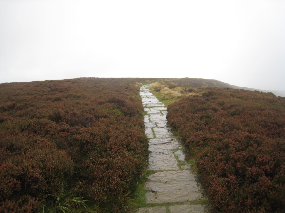
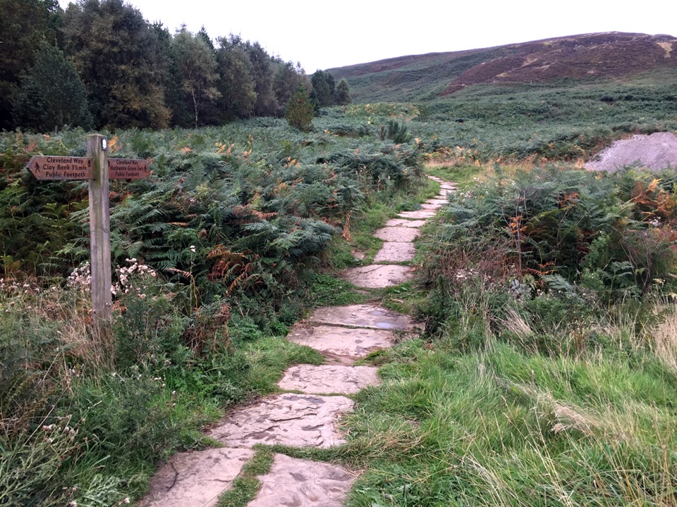
  • The section inside the boundary fence on water company land is wide, well surfaced and mostly flat; the stretch outside the fence can be narrower in places.
  • There is one gradual rise and fall near the northeast corner, and no sustained climbing.
  • Views are of open water backed by pines, with benches and patches of open grass where you can sit or eat.
Longer walks are separatePaths lead away from the water into the surrounding woodland and up onto the moor, and…

Paths lead away from the water into the surrounding woodland and up onto the moor, and Osmotherley is a hub for the Cleveland Way, the Coast to Coast and the Lyke Wake Walk. Those are optional extensions: routes that begin in the village or head onto the tops are considerably longer and hillier than the reservoir circuit. If you only want the flat waterside walk, stay on the loop.

Water safetySwimming, paddling and water sports are not allowed.

Swimming, paddling and water sports are not allowed. The water is cold and deep, there is machinery and there can be strong currents below the surface, blue-green algae can occur, and the reservoir is unlifeguarded. Dogs should not swim in it or drink from it, so bring water for them.

Wildlife noteWoodland and open moorland habitats surround the water, and common toads move toward the…

Woodland and open moorland habitats surround the water, and common toads move toward the reservoir in late winter and early spring, crossing the road on the way. Drive slowly and watch the road surface at that time of year, and give any wildlife you see plenty of space. Sightings are never guaranteed.

Honest drawbacksThe walk is short and the scenery is pleasant rather than dramatic, so it may feel slight if…

The walk is short and the scenery is pleasant rather than dramatic, so it may feel slight if you have driven far for it. Parking scarcity is the main practical frustration, the lack of toilets on site means planning a stop in the village, and the swimming ban means this is a place to walk beside water rather than get into it.

Wildlife

Wildlife in North York Moors

All North York Moors wildlife maps

Sighting maps show where each species has been reported across North York Moors. Wildlife moves, so no sighting is guaranteed.

Keep exploring

Near Cod Beck Reservoir

See it all on the map

Trails nearby

More stops nearby

Parkwolf’s North York Moors ranking

Top sights in North York Moors

All 65 places
  1. 1North Yorkshire Moors RailwaySight
  2. 2Roseberry ToppingSight
  3. 3Rievaulx AbbeySight
  4. 4Robin Hood's Bay and BeachSight
  5. 5Hole of HorcumSight
  6. 6Goathland StationSight

Take Parkwolf to North York Moors.

The audio tour guide for the drive, plus offline maps, trails, and wildlife heatmaps for when the signal drops.

4.7 from 8,600+ ratings

Download Parkwolf on the App StoreGet Parkwolf on Google Play