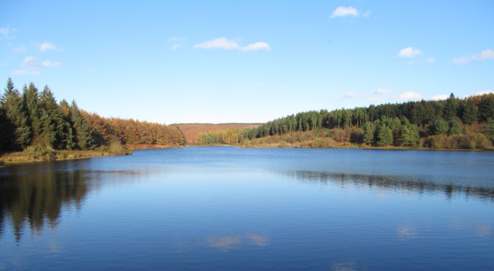
Osmotherley in North York Moors National Park

Sight · North York Moors National Park

Osmotherley

Stone-built walking village with a green, cross and drovers' history

Photo: Wikimedia Commons
Type
Sight
Nearest trail
Right here
Audio stories
4 nearby
  • Restrooms
  • Food
  • Restaurant
  • Store

Hear the audio tour

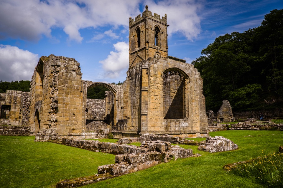
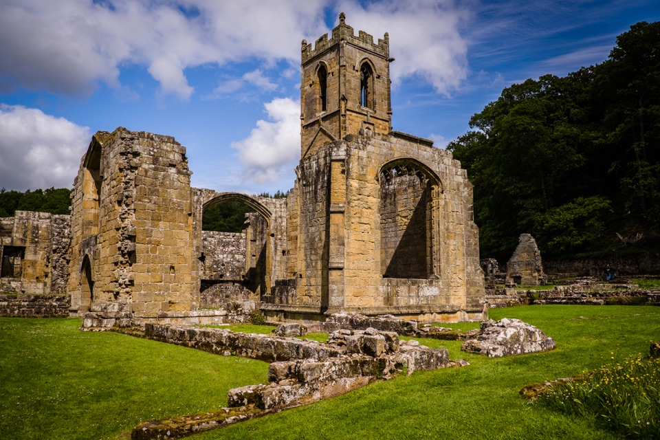
Mount Grace Priory

Overview

About Osmotherley

Why stop

  • Three national trails pass through the village
  • Moors, woodland and reservoir walks begin close by

Heads up

  • Small core can feel busy on fine weekends
  • Best walking quickly becomes muddy and exposed
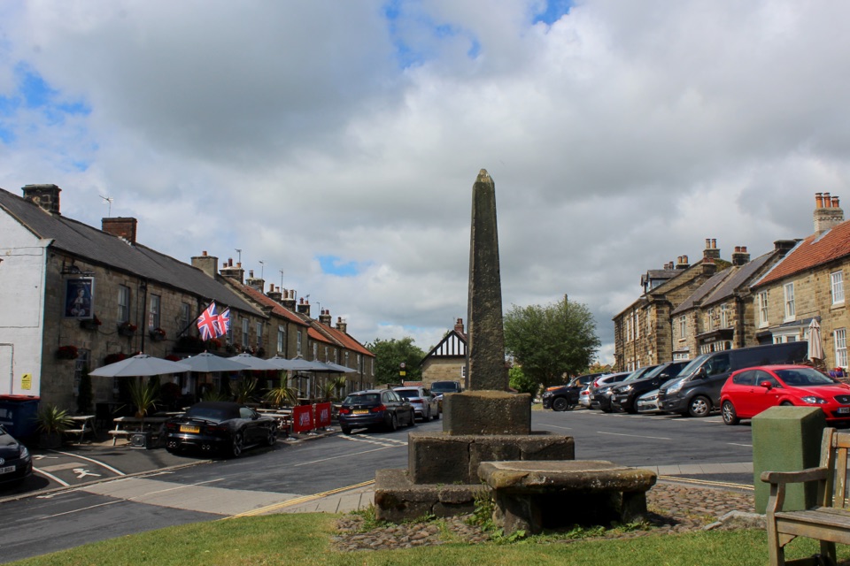
On the western edge of the moors, this is a compact, historic walking village rather than a big-ticket attraction, and that is its appeal. Three long-distance routes converge on a settlement of a few hundred people, so the tiny core works as a practical base or mid-walk stop: a green to sit on, honey-coloured stone frontages, and three pubs plus a cafe within a couple of minutes' walk of each other.
Parkwolf’s verdictWhy stop here

Map

Where it is

Loading the North York Moors map
Full map
SightOsmotherley54.36849, -1.29937
Keep this map with you offline in the Parkwolf app

Plan your stop

Before you go

Best time to go

  • Weekdays or early morning for a quieter core and easier photographs.
  • Spring, summer or early autumn for the longest daylight, drier ground and the best chance of moorland birds.
  • Morning or evening light flatters the stone buildings and the green.

8 active North York Moors alerts

  • ClosureHawnby Bridleway 110 closurePublic Bridleway 25.122/110/1 in Hawnby is closed to pedestrians, cyclists and equestrians because its bridge is unsafe. - The closure is between grid references SE 5309 9073 and SE 5335 9097.Official details
  • ClosureWest Ayton Footpath 1 closurePublic Footpath 1 in West Ayton (Forge Valley) is temporarily closed because its boardwalk is unsafe. - The closure is between SE 9860 8494 and SE 9839 8712.Official details
See all 8 alerts
A park ranger sits on a dash-mounted phone, talking, as Parkwolf’s Tour Guide plays “Army Cutworm Moths: A Grizzly Bear Buffet” on Grand Loop Road below Dunraven Pass in Yellowstone
Parkwolf Tour GuideThe highest, rockiest slopes around here are a summer buffet for grizzly bears.

North York Moors Tour Guide

Your drive to Osmotherley, narrated.

Parkwolf is a GPS audio tour guide for North York Moors National Park. As you drive, it chimes in with what’s ahead: hidden gems, upcoming stops, history, geology, and wildlife, right through your car’s speakers.

Recorded for this area

Mount Grace Priory
0:00 / 0:30
“You're coming up on the access road for Mount Grace Priory, tucked away beyond the main road.”

Plays on the road 1.9 km from Osmotherley in the Parkwolf North York Moors Tour Guide.

More stories near here in the app

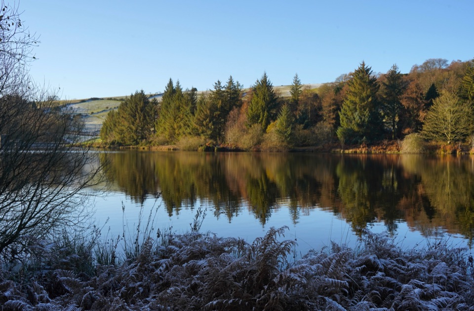
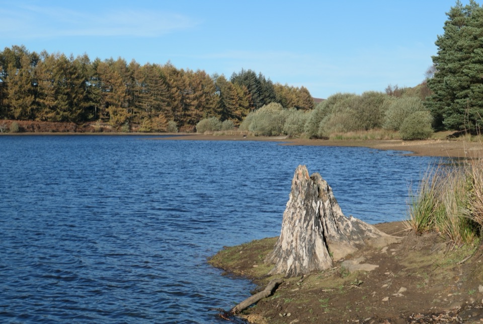
  • Cod Beck Reservoir and Sheep Wash
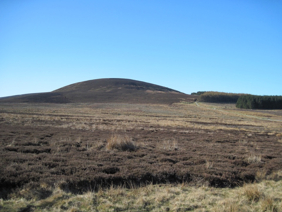
  • Black Hambleton from Square Corner
  • The Bells of Mount Grace
  • The Meal Through the Wall
  • 298 audio storiesacross North York Moors’s roads, triggered by GPS as you drive
  • Wildlife heatmapsfor Eurasian Otter, Red Deer, Grey Seal, and 13 more
  • Works offlinemaps, 126 trails, 65 places, and audio download before you lose signal
  • CarPlay readysimple controls built for the drive
★★★★★
“Fantastic app with many points of information… It’s great to just turn on while you’re driving and it gives you an audio tour of the national Park. We love it!!!!”
JMJamesApp Store review
Download Parkwolf on the App StoreGet Parkwolf on Google Play

4.7 from 8,600+ ratings

Guide

More about Osmotherley

What to see and doThe triangular village green, with its tall stone village cross and low stone bartering table,…
  • The triangular village green, with its tall stone village cross and low stone bartering table, a reminder of the village's market past. John Wesley preached at the green, and the nearby chapel is described as one of the oldest in the country.
  • St Peter's Church and the Friends Meeting House, which together with the chapel show how much religious history is packed into a small place.
  • A slow wander of the main street and side lanes, taking in stone cottages, pub signs and benches. Fifteen to thirty minutes covers the core comfortably.
  • The village's droving heritage: in the 1800s this was an overnight halt for Scottish cattlemen driving herds south along the Hambleton Drove Road, a route now walked rather than driven.
Walking and wildlifeThe Cleveland Way, Coast to Coast and Lyke Wake Walk all pass through, and circular walks of…

The Cleveland Way, Coast to Coast and Lyke Wake Walk all pass through, and circular walks of several miles start from the green. Heading north on the Cleveland Way onto Scarth Wood Moor is a good stretch for hearing and seeing curlew and golden plover in spring, though these are moorland birds and not a village-centre sighting.

Combining a short village wander with a longer walk is the best use of a visit. Carry proper footwear, a map and layers: paths turn muddy after rain and the moor above is exposed, with little shelter once you leave the houses.

Practical facilitiesPublic toilets next to the village hall.
  • Public toilets next to the village hall.
  • Top Shop, the village store, sells fresh and frozen food, milk, bread, groceries, sandwiches, pies, hot and cold drinks, stamps, cards, maps and books, and acts as a National Park information point.
  • A post office counter operates in the village hall on limited part-days.
  • Three pubs offering rooms, plus a cafe and further bed-and-breakfast accommodation in the village; food is served at The Golden Lion and Three Tuns.
  • A bus stop serves the village cross.
Honest drawbacksThe core is small and can feel crowded with walkers, cars and pub trade on fine weekends, when…

The core is small and can feel crowded with walkers, cars and pub trade on fine weekends, when narrow streets get tight. There is no substantial sightseeing beyond the green, cross and churches, so treat it as a stop within a walking day. Note also that the reservoir a short distance north has very limited parking and a two-mile clearway through the Sheepwash area, which is separate from village parking; its water is cold, deep and unsupervised, so it is not a swimming spot.

Wildlife

Wildlife in North York Moors

All North York Moors wildlife maps

Sighting maps show where each species has been reported across North York Moors. Wildlife moves, so no sighting is guaranteed.

Parkwolf’s North York Moors ranking

Top sights in North York Moors

All 65 places
  1. 1North Yorkshire Moors RailwaySight
  2. 2Roseberry ToppingSight
  3. 3Rievaulx AbbeySight
  4. 4Robin Hood's Bay and BeachSight
  5. 5Hole of HorcumSight
  6. 6Goathland StationSight

Take Parkwolf to North York Moors.

The audio tour guide for the drive, plus offline maps, trails, and wildlife heatmaps for when the signal drops.

4.7 from 8,600+ ratings

Download Parkwolf on the App StoreGet Parkwolf on Google Play