Parking
Square Corner car park is on the right-angled bend of the Osmotherley to Hawnby road, about 2.5 miles beyond Osmotherley. Start on the wide track from the parking area.
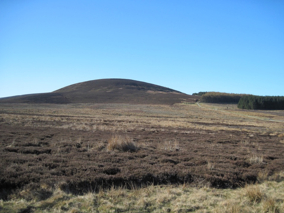
North York Moors National Park, EN
Quiet moorland loop to the Hambleton Hills' highest point, wide vale views
Overview
This is an approximately 8 mile (12.9 km) circular route, with the distance measured as the full loop back to the start rather than one way. Expect about 3 hours 45 minutes at a steady pace, with roughly 919 ft (280 m) of ascent and a difficulty of 5 out of 10. The high ground reaches 1,308 ft (399 m) at Black Hambleton, the highest point of the Hambleton Hills, while the lowest sampled ground on the circuit sits near 141 m.
Map & elevation
Plan your hike

The highest, rockiest slopes around here are a summer buffet for grizzly bears.
North York Moors Tour Guide
Parkwolf is a GPS audio tour guide for North York Moors National Park. As you drive, it chimes in with what’s ahead: hidden gems, upcoming stops, history, geology, and wildlife, right through your car’s speakers.
Recorded for this trailhead
Black Hambleton from Square Corner“You're approaching Square Corner, where the eight-mile Black Hambleton loop starts.”
Plays as you drive up to this trailhead in the Parkwolf North York Moors Tour Guide.
More stories near here in the app
“Fantastic app with many points of information… It’s great to just turn on while you’re driving and it gives you an audio tour of the national Park. We love it!!!!”


Trail guide
The payoff is the contrast: enclosed forest and field walking early on, then open heather moorland with long views over the Vale of York and Vale of Mowbray, and the Pennines on clear days.
The grading is moderate for its length rather than its steepness, though there is one steep climb on tarmac and field toward Nab Farm. Surfaces change often, from gravel and moor tracks to a tarmac lane, grass fields and rough farm paths. Plan for gates, stiles and a stream crossing on a small bridge, and choose footwear that copes with soft ground as well as hard track.
The ridge and Hambleton Street sections are open and unsheltered, so wind and sun are felt directly. Signage is only average and moorland visibility can make route finding harder, so carry a map and compass or a GPS track and know your bail out options back to the road.
The circuit strings together three distinct landscapes: heather moorland on the tops, conifer forest at Silton, and working farmland in the middle section. Treat the moor as habitat for ground nesting birds, and expect livestock in the fields, so close gates behind you and give animals space.
The route uses public tracks, bridleways, footpaths and short road sections, so access is by public right of way. Parking is free at Square Corner on Thimbleby Moor, in the large area at the right angled bend on the Osmotherley to Hawnby road. There are no toilets at the trailhead, so plan ahead. Dogs are permitted on these rights of way, but keep them under close control, and on a short lead or at heel near livestock and nesting birds. This is not a family friendly outing, given the length, the stiles and the open moorland navigation.
Nearby Roseberry Topping is the shorter, more compact summit walk with a quick payoff. Black Hambleton is the longer, quieter alternative, with more varied forest and farmland walking on the way to its moorland high point.
Wildlife
 15 sightingsEurasian OtterMost seen around 7 PMSighting map
 10 sightingsRed DeerMost seen around 7 AMSighting map
 79 sightingsGrey SealMost seen around noonSighting map
 26 sightingsWestern Barn OwlMost seen around 7 PMSighting map
 33 sightingsEuropean BadgerMost seen around 7 PMSighting map
 10 sightingsMute SwanMost seen around noonSighting map
Sighting maps show where each species has been reported across North York Moors. Wildlife moves, so no sighting is guaranteed.
Keep exploring
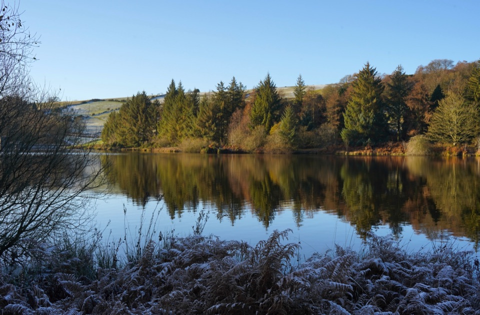 ModerateOsmotherley and Cod Beck8.2 km · 2.5 hr · 2.7 km awayMoorland climb, radio mast views, reservoir woods, then Cleveland Way home
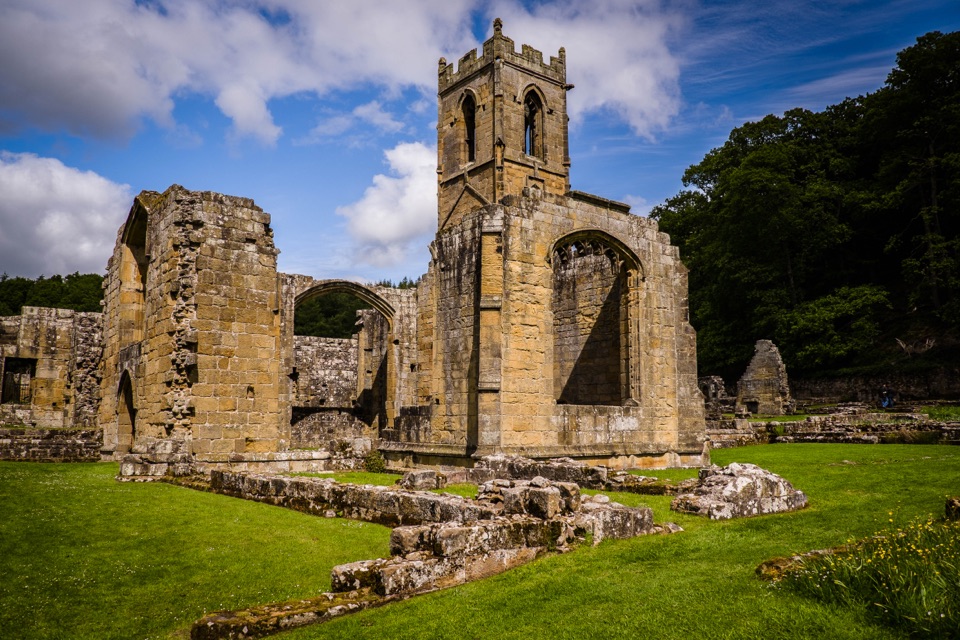 ModerateOsmotherley and Mount Grace5.2 km · 3 hr · 2.7 km awayRuined priory, hillside chapel and a steep wooded climb back
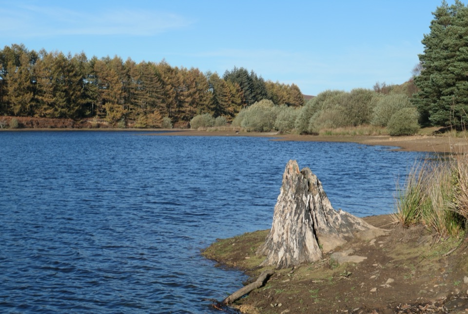 EasyCod Beck Reservoir Circular2.4 km · 1 hr · 3.5 km awayWide, level shoreline loop with an embankment crossing and woodland bridge
 ChallengingLyke Wake Walk64.7 km · 18 hr · 3.6 km awayA brutal 40-mile moorland crossing from Osmotherley to Ravenscar
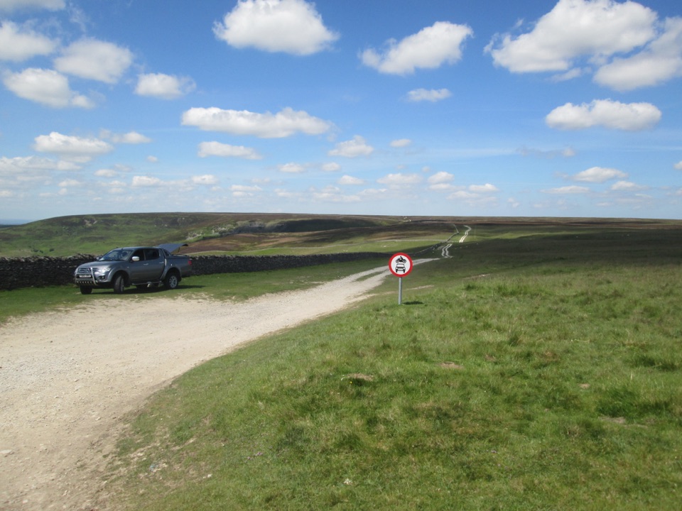 EasyMiles without Stiles (For many) - Hambleton Drove Road2 km · 45 min · 4.5 km awayAncient drovers' road to a wide Thorodale viewpoint, gentle and short
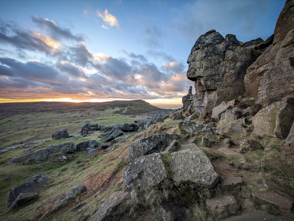 ChallengingCoast to Coast: Ingleby Cross to Clay Bank Top19 km · 7 hr · 5.6 km awayBig moorland climbs to the Wainstones on the Cleveland escarpment
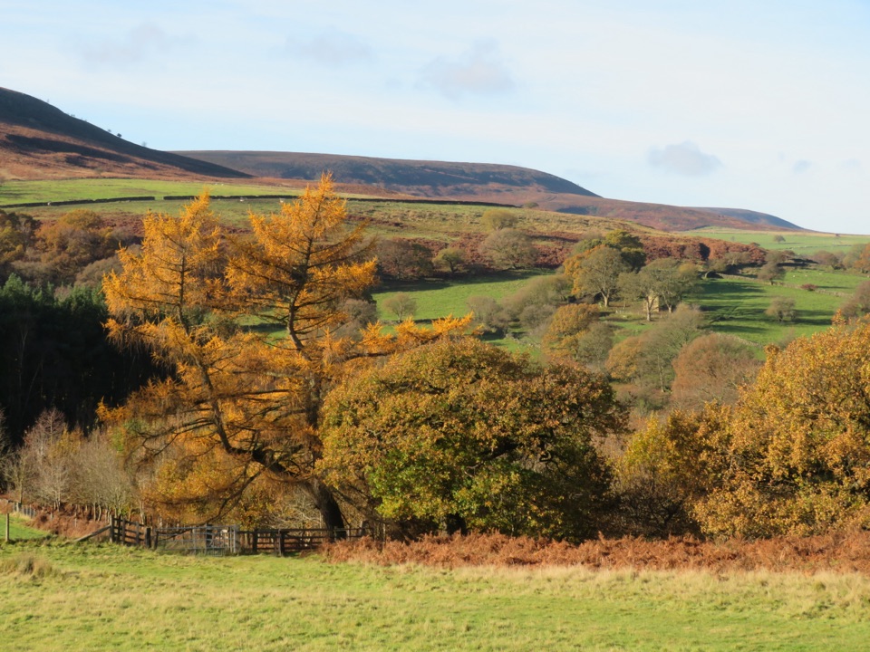 EasyHawnby Circular4.3 km · 1 hr · 5.8 km awayA hilly mix of woodland, river crossings and open moorland.
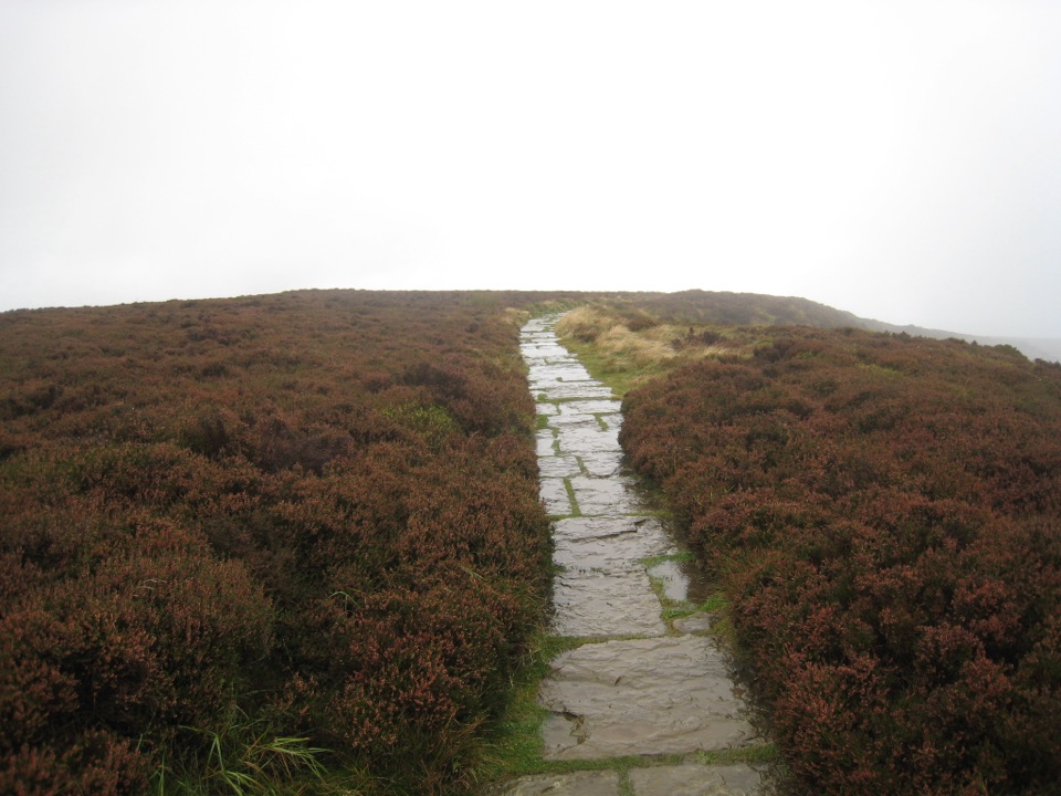 EasyLord Stones Walk4.4 km · 1.4 hr · 8.4 km awaySteep pitched climb to a stone seat above the wide Cleveland plain
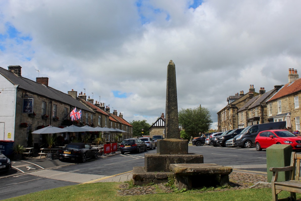 Sight · 2.7 km awayOsmotherleyStone-built walking village with a green, cross and drovers' history
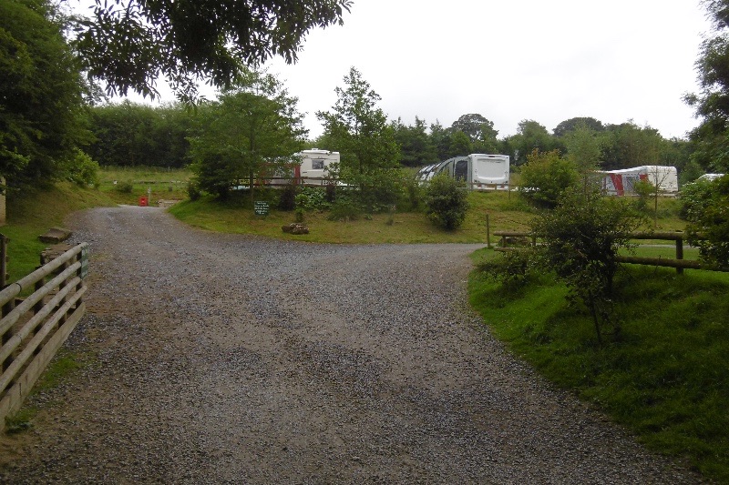 Campground · 2.8 km awayCote Ghyll Caravan Park and CampsiteTerraced pitches in a wooded stream valley, minutes from Osmotherley
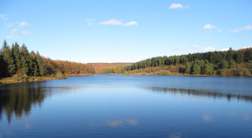 Sight · 3.3 km awayCod Beck ReservoirQuiet moor-edge reservoir with an easy, mostly flat 1.5-mile loop
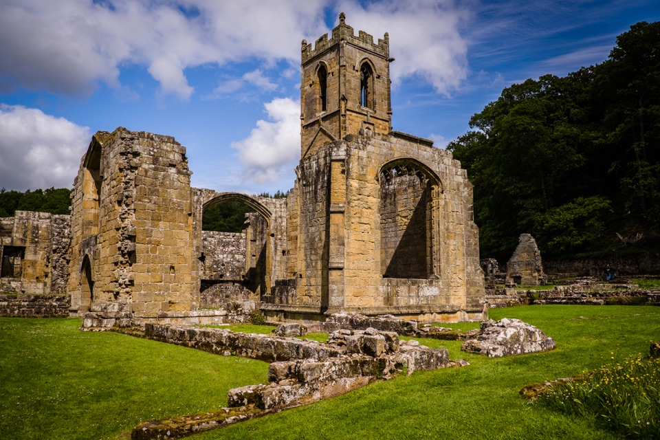 Sight · 4 km awayMount Grace Priory, House and GardensRebuilt monk's cell, ruined Carthusian cloister, 13 acres of gardens
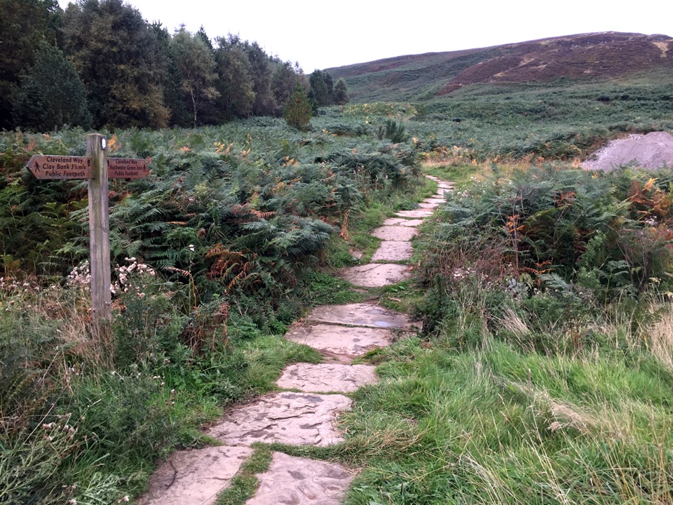 Sight · 8.4 km awayLord Stones Country ParkMoorland trailhead with cafe, camping and wide views across the plain
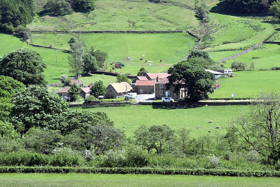 Sight · 9.7 km awaySpout House, BilsdaleThatched cruck-framed longhouse that served ale for two centuries
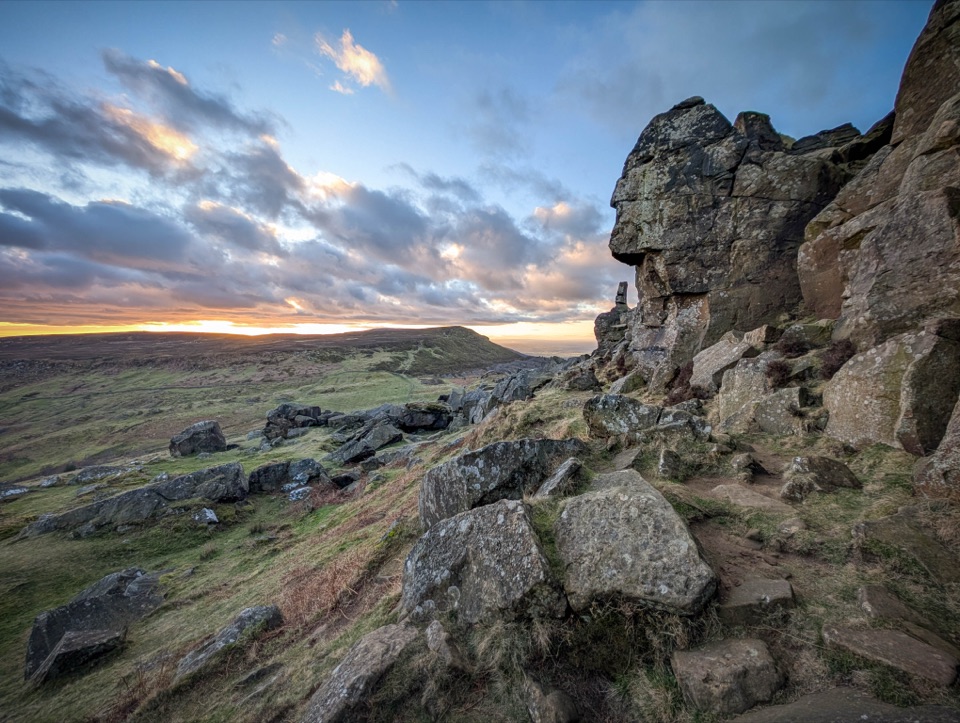 Sight · 11 km awayThe WainstonesSandstone pillars up a sharp climb from Clay Bank car park
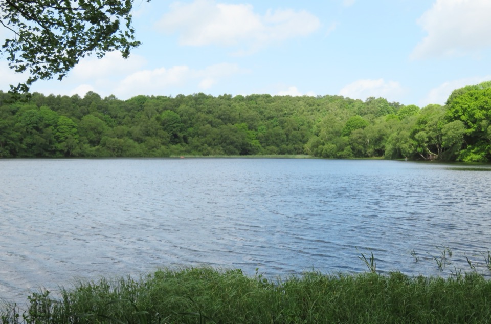 Sight · 12.9 km awayGormire LakeGlacial lake below Whitestone Cliff, reached by a steep woodland descent
Parkwolf’s North York Moors ranking

The audio tour guide for the drive, plus offline maps, trails, and wildlife heatmaps for when the signal drops.




