Hayburn Wyke Waterfall in North York Moors National Park

Sight · North York Moors National Park

Hayburn Wyke Waterfall

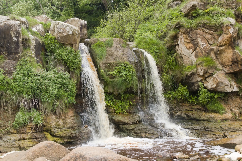
Double waterfall spills through wind-twisted oaks onto a pebble cove

Photo: Wikimedia Commons
Type
Sight
Nearest trail
3 km
Audio stories
6 nearby

Hear the audio tour

Hayburn Wyke Waterfall

Overview

About Hayburn Wyke Waterfall

Why stop

  • Distinctive waterfall-on-the-beach setting
  • Quiet woodland and coast in one stop

Heads up

  • Steep, rough steps and slippery ground after rain
A beck runs out of a steep patch of coastal woodland and drops in a double fall straight onto a rocky, pebbly beach. That combination is the draw: not a big cataract, but a small cove where woodland, freshwater and a Jurassic-era shoreline all meet in one place. Several visitors find the fall itself modest, and that is fair. The reason to come is the whole scene, plus the fact that this stretch of coast stays comparatively quiet.
Parkwolf’s verdictWhy stop here

Map

Where it is

Loading the North York Moors map
Full map
SightHayburn Wyke Waterfall54.35953, -0.44767
Keep this map with you offline in the Parkwolf app

Plan your stop

Before you go

Best time to go

Flow depends on recent rain. After a wet spell the falls are properly lively; after a dry run they can thin to a trickle. Check the tide before setting out, since a high tide can cover much of the beach and put one of the two falls out of reach, and rockpooling is best on a falling or low tide. Dry weather in the days beforehand also means far safer footing on the steps.


Getting there

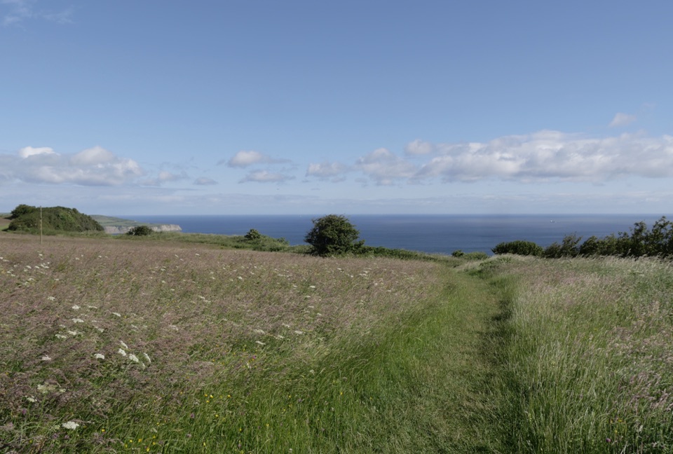
There is no roadside viewpoint, so every visit is a walk. The Cleveland Way runs along the clifftop above the cove, and footpaths drop down to the beach from north and south of the Hayburn Wyke Inn at Cloughton. The final section involves a steep descent and climb on rough steps that turn muddy and slippery after rain, so wear proper footwear.

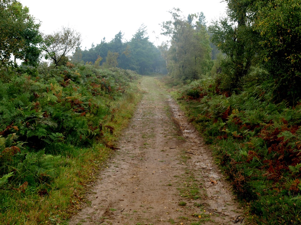
For a fuller day, the five-mile (8km) circular from Cloughton Station takes roughly three hours: out along the cliffs on the Cleveland Way, back on the level trackbed of the old Scarborough to Whitby railway, with a short stretch of quiet lane. That railway path is easy going but shared with cyclists and horse riders. The trackbed is also the gentler way to approach if steep cliff paths are not for you.

8 active North York Moors alerts

  • ClosureHawnby Bridleway 110 closurePublic Bridleway 25.122/110/1 in Hawnby is closed to pedestrians, cyclists and equestrians because its bridge is unsafe. - The closure is between grid references SE 5309 9073 and SE 5335 9097.Official details
  • ClosureWest Ayton Footpath 1 closurePublic Footpath 1 in West Ayton (Forge Valley) is temporarily closed because its boardwalk is unsafe. - The closure is between SE 9860 8494 and SE 9839 8712.Official details
See all 8 alerts
A park ranger sits on a dash-mounted phone, talking, as Parkwolf’s Tour Guide plays “Army Cutworm Moths: A Grizzly Bear Buffet” on Grand Loop Road below Dunraven Pass in Yellowstone
Parkwolf Tour GuideThe highest, rockiest slopes around here are a summer buffet for grizzly bears.

North York Moors Tour Guide

Your drive to Hayburn Wyke Waterfall, narrated.

Parkwolf is a GPS audio tour guide for North York Moors National Park. As you drive, it chimes in with what’s ahead: hidden gems, upcoming stops, history, geology, and wildlife, right through your car’s speakers.

Recorded for this place

Hayburn Wyke Waterfall
0:00 / 0:32
“You're approaching the walk down to Hayburn Wyke, where two small waterfalls spill from wind-bent woodland onto a pebble beach. The cove is the reward here, with rockpools and room to take in both falls at low tide.”

Plays as you drive up to Hayburn Wyke Waterfall in the Parkwolf North York Moors Tour Guide.

More stories near here in the app

  • A Forest in the Foreshore
  • Why the Coastal Oaks Twist
  • The Forest Below the Waves
  • A Fulmar’s Stiff-Winged Glide
  • 298 audio storiesacross North York Moors’s roads, triggered by GPS as you drive
  • Wildlife heatmapsfor Eurasian Otter, Red Deer, Grey Seal, and 13 more
  • Works offlinemaps, 126 trails, 65 places, and audio download before you lose signal
  • CarPlay readysimple controls built for the drive
★★★★★
“Fantastic app with many points of information… It’s great to just turn on while you’re driving and it gives you an audio tour of the national Park. We love it!!!!”
JMJamesApp Store review
Download Parkwolf on the App StoreGet Parkwolf on Google Play

4.7 from 8,600+ ratings

Guide

More about Hayburn Wyke Waterfall

What you'll see and doRock-hopping and rockpooling on the shore, where you may find blennies, butterfish, dog whelks,…
  • Rock-hopping and rockpooling on the shore, where you may find blennies, butterfish, dog whelks, periwinkles, limpets, topshells, mussels and the occasional crab.
  • Fossil hunting by searching loose beach stones and shingle rather than hammering at the cliffs.
  • Oaks bent and sculpted by sea wind, giving the woodland edge a distinctive shape, with bluebells in spring.
  • Flat rocks above the waterfall that make a natural picnic perch. There are no formal tables.
Honest drawbacksMost of the clifftop path is unfenced, with hidden steep drops where the woods meet the cliff…

Most of the clifftop path is unfenced, with hidden steep drops where the woods meet the cliff slope, so keep dogs on a short lead and young children close. Cliff edges here can be unstable and prone to rock fall, so keep well back and don't linger directly beneath them. There are no verified visitor facilities at the waterfall or beach; the nearest refreshments are at the inn up the hill, and public toilets are a few miles south in Scalby. Expect the walk to feel longer on the way back up.

Wildlife and historyThe woods were felled in the 1940s for the war effort and replanted with conifers, then bought…

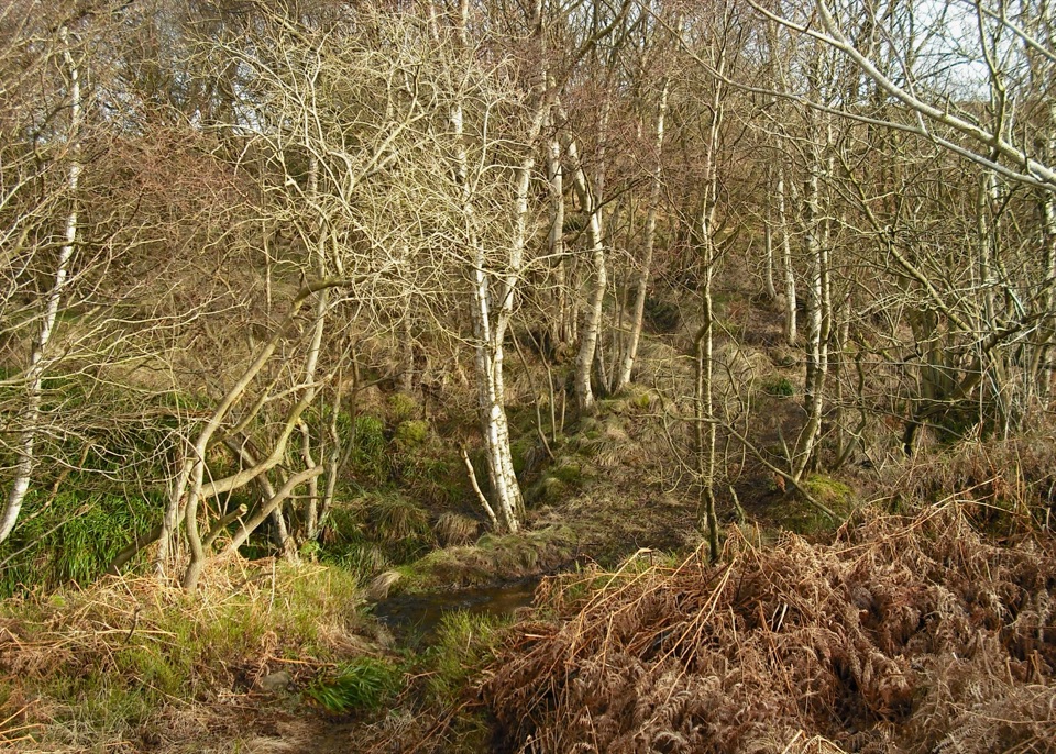
The woods were felled in the 1940s for the war effort and replanted with conifers, then bought by the National Trust in 1981, since when conifers have been thinned to bring back native oak, ash and beech. More than 30 breeding bird species have been recorded here, with redstart, blackcap and spotted flycatcher in spring and summer, and great spotted and green woodpeckers resident year-round. Roe deer, fox and badger use the valley, so early or late visits give the best chance of seeing something move.

Wildlife

Wildlife in North York Moors

All North York Moors wildlife maps

Sighting maps show where each species has been reported across North York Moors. Wildlife moves, so no sighting is guaranteed.

Parkwolf’s North York Moors ranking

Top sights in North York Moors

All 65 places
  1. 1North Yorkshire Moors RailwaySight
  2. 2Roseberry ToppingSight
  3. 3Rievaulx AbbeySight
  4. 4Robin Hood's Bay and BeachSight
  5. 5Hole of HorcumSight
  6. 6Goathland StationSight

Take Parkwolf to North York Moors.

The audio tour guide for the drive, plus offline maps, trails, and wildlife heatmaps for when the signal drops.

4.7 from 8,600+ ratings

Download Parkwolf on the App StoreGet Parkwolf on Google Play