Parking
Start at Cloughton Station on Station Lane, off the A171. Follow the access opposite the station building to the old railway line.
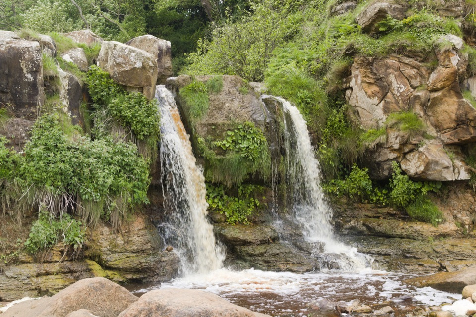
North York Moors National Park, EN
Clifftop coast path to a waterfall cove, level old railway back
Overview
A closed loop of 5 miles / 8 km, taking about 3 hours at a steady pace. Moderate, roughly 5/10, with undulating coastal walking and one steep, rough set of steps down to Hayburn Wyke and back up.
Map & elevation
Plan your hike

The highest, rockiest slopes around here are a summer buffet for grizzly bears.
North York Moors Tour Guide
Parkwolf is a GPS audio tour guide for North York Moors National Park. As you drive, it chimes in with what’s ahead: hidden gems, upcoming stops, history, geology, and wildlife, right through your car’s speakers.
Recorded for this trailhead
Cloughton and Hayburn Wyke Loop“You're approaching Cloughton Station, the starting point for a five-mile loop to Hayburn Wyke.”
Plays as you drive up to this trailhead in the Parkwolf North York Moors Tour Guide.
More stories near here in the app
“Fantastic app with many points of information… It’s great to just turn on while you’re driving and it gives you an audio tour of the national Park. We love it!!!!”


Trail guide
Start and finish at Cloughton Station on Station Lane, off the A171. The walk begins on the old Scarborough to Whitby railway line, now the Cinder Track, then picks up a short quiet lane and public footpaths out to the small access above Cloughton Wyke. From there the Cleveland Way runs south above the coast to Hayburn Wyke, where the path drops through woodland to a double waterfall falling to a pebble beach and a rocky cove. The return climbs back past the Hayburn Wyke Inn and rejoins the Cinder Track to the station.
The Cinder Track is level and easy to follow, so most of the effort is on the coastal half. The descent and ascent at Hayburn Wyke are on rough steps that stay muddy and slippery for a long time after rain, and parts of the Cleveland Way are steep and slippery in places. Boots with grip are worth it. Cliff edges may be unstable, and most of the cliff path is unfenced, so keep well back from the edge.
The appeal is the contrast: flat, straightforward railway walking, open cliff top views, then a wooded descent to the waterfall and cove. The woodland here is restored mixed woodland with roe deer, foxes and badgers, and more than 30 breeding bird species. On the shore, the rock pools hold marine life, so allow time to look rather than just passing through.
The cove is the main subject, with the double waterfall reaching the beach and the rock pools below it. Build extra time into your plan for this section, since the steps down and back up are slow going, and shoot the coastline from the Cleveland Way where the path runs above the cliffs.
Parking and access are at Cloughton Station. The Cinder Track is shared with cyclists and horse riders, and there is a short section on a quiet lane, so stay aware of other users. Dogs are best kept on short leads, particularly along the unfenced cliff path. There are no toilets on the route; the nearest official pointer is Scalby village.
If the steep steps are not what you want, walk a there and back stretch of the Cinder Track on its own. It gives the same level, easy surface without the coastal descent, though you miss the waterfall and cove.
Wildlife
 15 sightingsEurasian OtterMost seen around 7 PMSighting map
 10 sightingsRed DeerMost seen around 7 AMSighting map
 79 sightingsGrey SealMost seen around noonSighting map
 26 sightingsWestern Barn OwlMost seen around 7 PMSighting map
 33 sightingsEuropean BadgerMost seen around 7 PMSighting map
 10 sightingsMute SwanMost seen around noonSighting map
Sighting maps show where each species has been reported across North York Moors. Wildlife moves, so no sighting is guaranteed.
Keep exploring
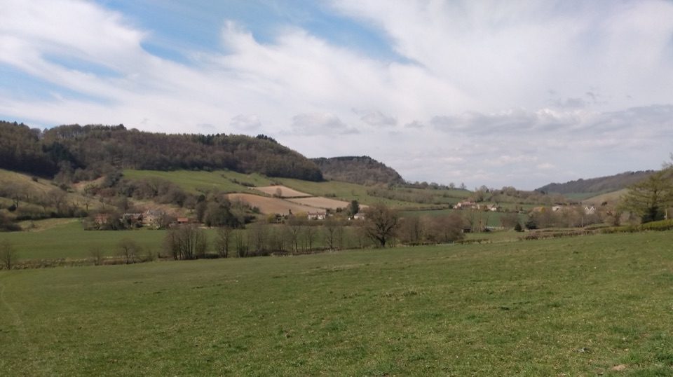 ModerateTabular Hills Walk78.7 km · 1.3 days · 4.1 km awayCoast to Helmsley in four days across flat-topped hills and wooded valleys
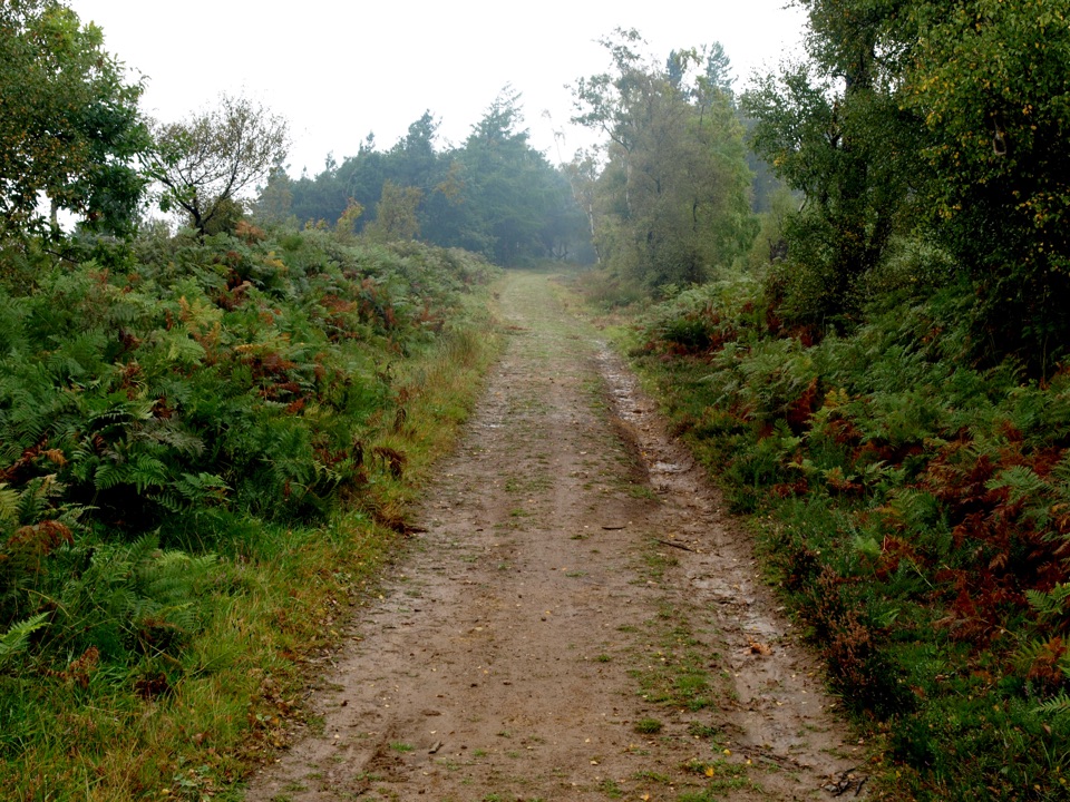 ModerateMiles without Stiles (For some) - Broxa Forest9.2 km · 2.3 hr · 4.7 km awayGentle forest tracks to an escarpment edge above Harwood Dale
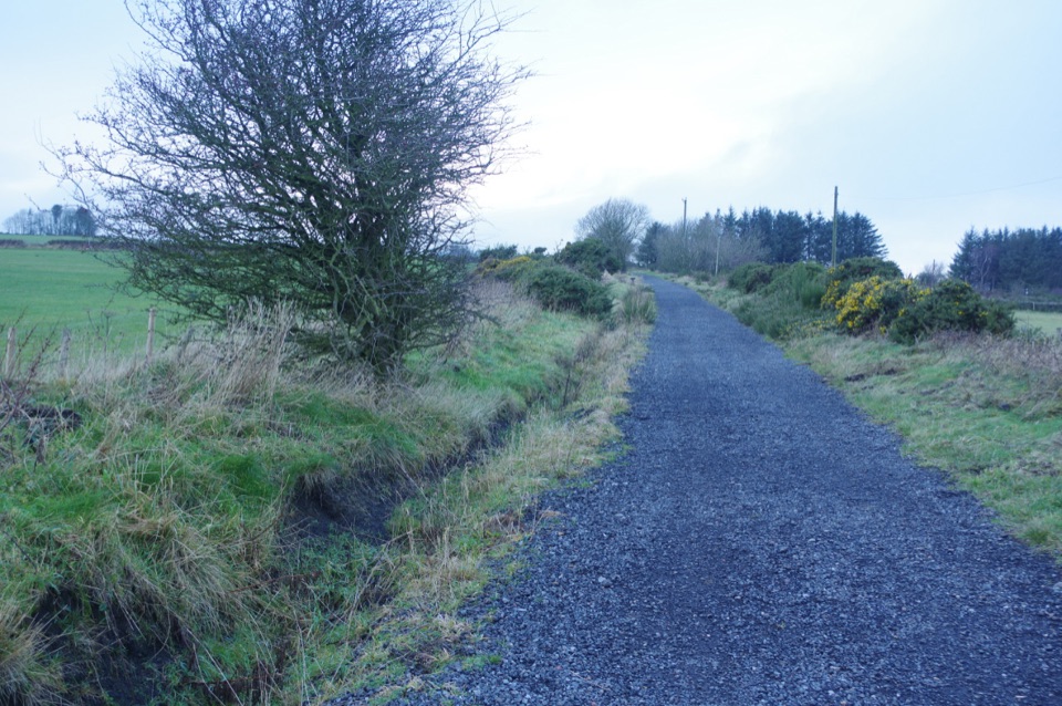 ModerateThe Cinder Track34.9 km · 9 hr · 6.3 km awayOld railway cinder, sea views and moor edge, Scarborough to Whitby
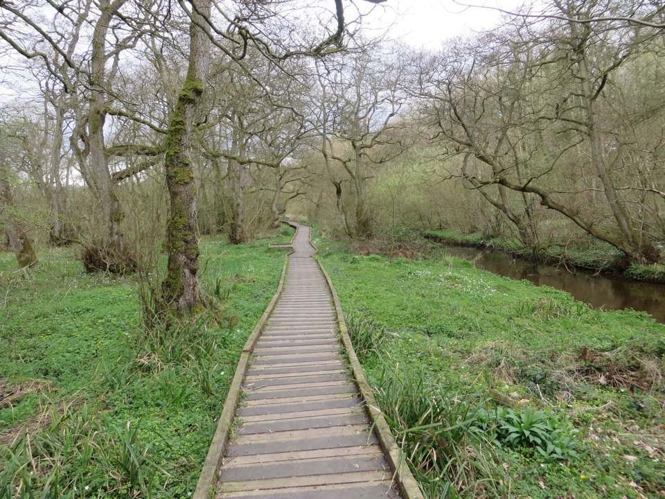 EasyForge Valley Woods Walk3.2 km · 1 hr · 7.5 km awayLevel riverside boardwalk through ancient woodland in a meltwater gorge
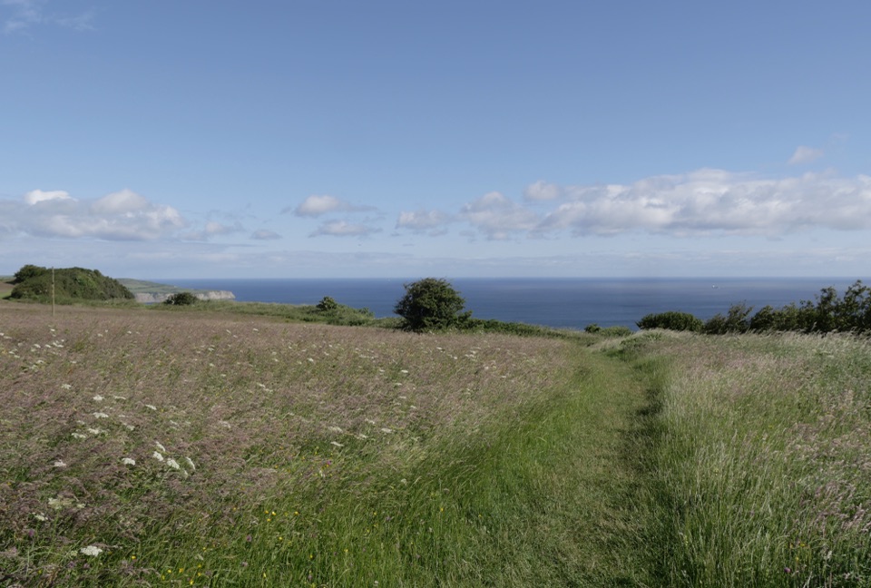 EasyMiles without Stiles (For some) - Ravenscar2.4 km · 45 min · 7.6 km awayShort cliff-top loops from Station Square, level or steeper options
 ChallengingRavenscar to Robin Hood's Bay17.7 km · 6.5 hr · 8.1 km awayMoorland tracks, cliff paths and a seaside village in an 11-mile loop
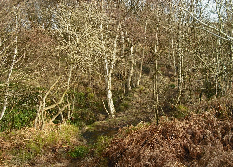 ModerateHowdale Moor and Brow Moor6.1 km · 2.5 hr · 8.2 km awayHeather moorland loop above Ravenscar, coast views and burial mounds
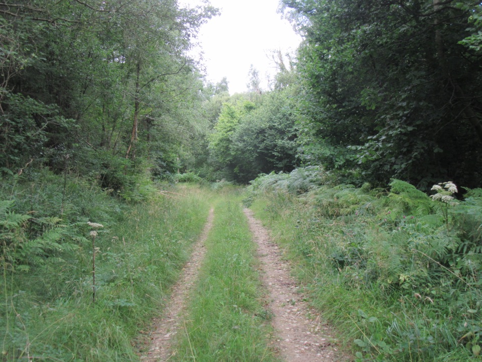 EasyDeepdale Habitat Trail2.1 km · 40 min · 10.5 km awayShort purple-marked loop into a birch-lined valley and a beck crossingSight · 3 km awayHayburn Wyke WaterfallDouble waterfall spills through wind-twisted oaks onto a pebble cove
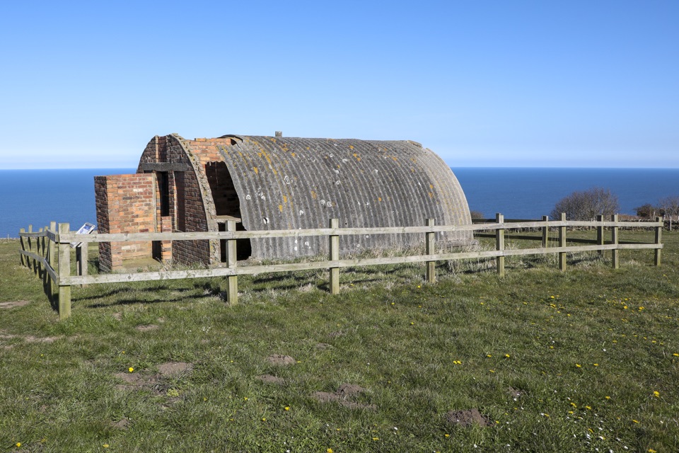 Sight · 7 km awayRavenscar Second World War Radar StationWartime radar buildings and hut foundations above a windswept coast
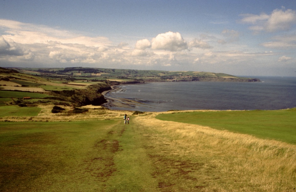 Sight · 7.8 km awayRavenscarThe town that never was, high above Robin Hood's Bay
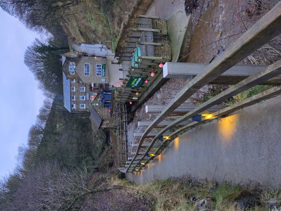 Beach · 11.4 km awayBoggle HoleTide-timed cove of ridged scaurs, rock pools and fossil-flecked shingle
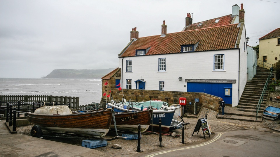 Sight · 12.2 km awayThe Old Coastguard StationSea-edge stone by the slipway, with rock scaurs at low tide
 Sight · 12.6 km awayRobin Hood's Bay and BeachCobbled smugglers' village tumbling to Jurassic rock scaurs and rockpools
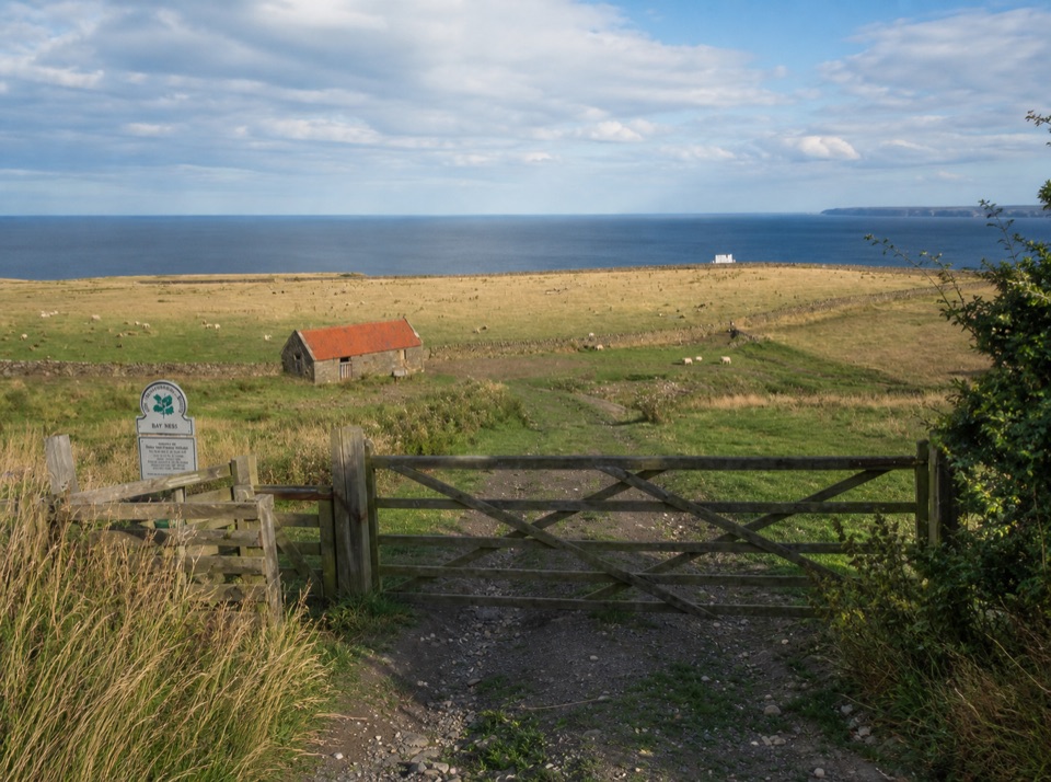 Campground · 13.5 km awayBay Ness Farm CampsiteSea-view farm pitches a short walk above Robin Hood's Bay
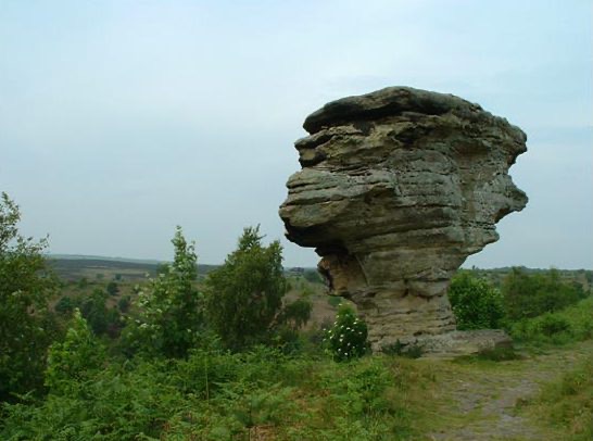 Sight · 14 km awayBridestones, Crosscliff and Blakey ToppingJurassic sandstone towers, heather moor and a flat-topped hill to climb
Parkwolf’s North York Moors ranking

The audio tour guide for the drive, plus offline maps, trails, and wildlife heatmaps for when the signal drops.




