Parking
Start at the footbridge over the beck at Scalby Mills. Scalby Mills Car Park is beside the mouth of Scalby Beck and the Cleveland Way, close to the route start. Arrange transport for the Helmsley finish.
North York Moors National Park, EN
Coast to Helmsley in four days across flat-topped hills and wooded valleys
Overview
Map & elevation
Plan your hike

The highest, rockiest slopes around here are a summer buffet for grizzly bears.
North York Moors Tour Guide
Parkwolf is a GPS audio tour guide for North York Moors National Park. As you drive, it chimes in with what’s ahead: hidden gems, upcoming stops, history, geology, and wildlife, right through your car’s speakers.
More stories near here in the app
“Fantastic app with many points of information… It’s great to just turn on while you’re driving and it gives you an audio tour of the national Park. We love it!!!!”


Trail guide
This is a point-to-point walk, not a loop. Reckon on 48 miles (77 km) one way from the footbridge over the beck at Scalby Mills, just north of Scarborough, to the market town of Helmsley. Mapping the waymarked line end to end comes out slightly under 49 miles, so the rounded 48 is a fair planning figure. Most people take about 4 days.
The route runs along the southern edge of the moors and links the two ends of the Cleveland Way, which takes the longer coastal and northern arc between the same towns. Walk both and you have a full circuit, but treat the Tabular Hills Walk as its own inland journey rather than a shortcut version of the coast path.
Heading west from the sea, the route threads together a genuinely varied sequence:
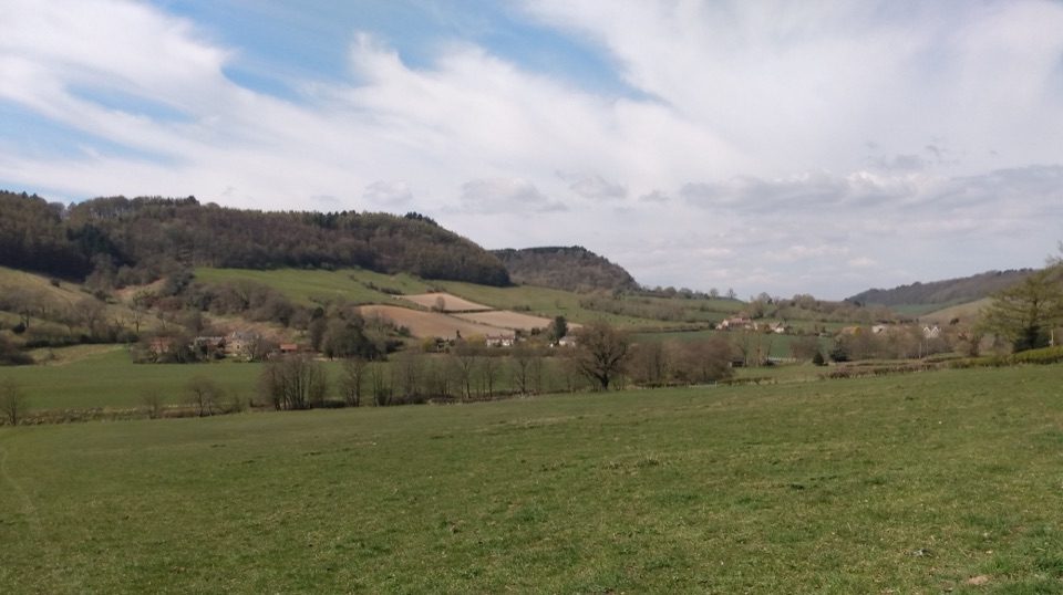
The payoff is the shape of the country itself. The Tabular Hills have flat tops, rise gently from the south and break off in steeper north-facing headlands, so you get long views out over the moors from ground that feels surprisingly gentle underfoot. Add becks, old churches, stone villages and big skies over the moor sections.
Call it 6 out of 10. Nothing on it is technical or exposed, but the full distance, rolling terrain and repeated climbs add up over several days. Expect a mix of woodland paths, forest roads, field edges, quiet lanes and moorland tracks, with stiles throughout and stretches that turn rough or muddy after wet spells. Sampled heights along the way run from around 10 m at the coast to about 268 m on the moors, finishing near 66 m at Helmsley, so the effort comes from doing that up-and-down again and again rather than from any single big ascent. One published route profile puts total climb near 1,500 m, which is a useful ballpark rather than a measured guarantee.
Because it is linear, sort your transport before you set off. Options are to base yourself somewhere and use public transport or taxis for daily shuttles, to book accommodation in stages along the villages, or to have someone drop you at the start and collect you in Helmsley. Scalby Mills Car Park sits beside the mouth of Scalby Beck and the Cleveland Way, close to the footbridge where the walk begins. Between villages there are long gaps with no shops, so carry water, food and layers for the day.
The route uses public rights of way and is waymarked, but much of it crosses working farmland. Expect livestock in fields, plenty of gates and stiles, and the usual courtesy of leaving things as you found them. Dogs are welcome on the ordinary rights of way if they are kept under close control. On the moorland open-access areas dogs must stay on the public rights of way rather than roaming, and near the coastal start there can be unfenced ground, so keep them close there.
Wildlife
 15 sightingsEurasian OtterMost seen around 7 PMSighting map
 10 sightingsRed DeerMost seen around 7 AMSighting map
 79 sightingsGrey SealMost seen around noonSighting map
 26 sightingsWestern Barn OwlMost seen around 7 PMSighting map
 33 sightingsEuropean BadgerMost seen around 7 PMSighting map
 10 sightingsMute SwanMost seen around noonSighting map
Sighting maps show where each species has been reported across North York Moors. Wildlife moves, so no sighting is guaranteed.
Keep exploring
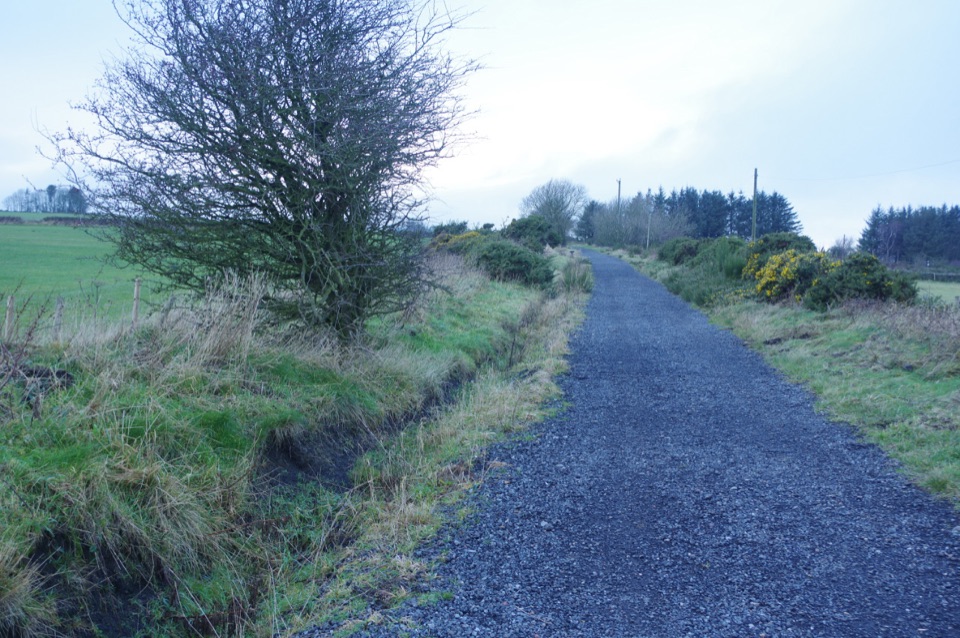 ModerateThe Cinder Track34.9 km · 9 hr · 2.6 km awayOld railway cinder, sea views and moor edge, Scarborough to Whitby
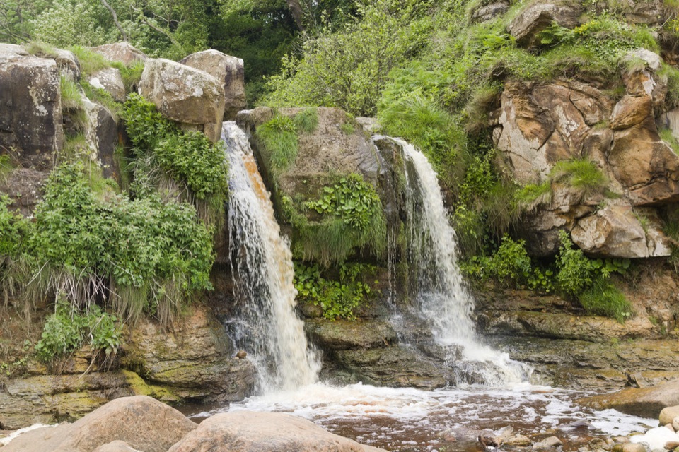 ModerateCloughton and Hayburn Wyke8 km · 3 hr · 4.1 km awayClifftop coast path to a waterfall cove, level old railway back
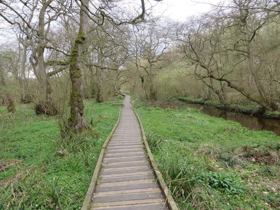 EasyForge Valley Woods Walk3.2 km · 1 hr · 6.3 km awayLevel riverside boardwalk through ancient woodland in a meltwater gorge
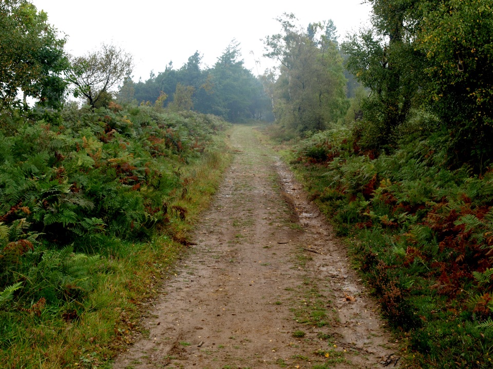 ModerateMiles without Stiles (For some) - Broxa Forest9.2 km · 2.3 hr · 7.9 km awayGentle forest tracks to an escarpment edge above Harwood Dale
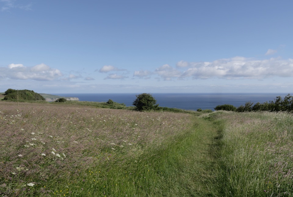 EasyMiles without Stiles (For some) - Ravenscar2.4 km · 45 min · 11.6 km awayShort cliff-top loops from Station Square, level or steeper options
 ChallengingRavenscar to Robin Hood's Bay17.7 km · 6.5 hr · 12.1 km awayMoorland tracks, cliff paths and a seaside village in an 11-mile loop
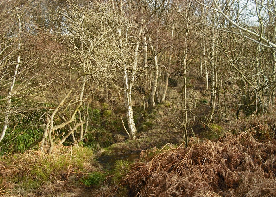 ModerateHowdale Moor and Brow Moor6.1 km · 2.5 hr · 12.2 km awayHeather moorland loop above Ravenscar, coast views and burial mounds
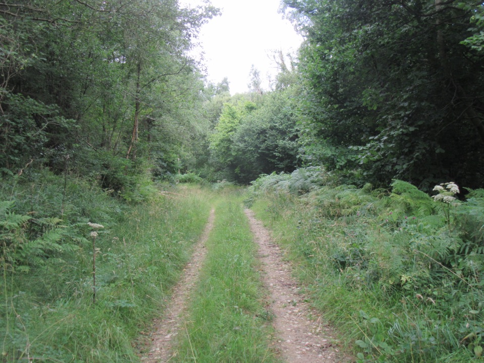 EasyDeepdale Habitat Trail2.1 km · 40 min · 12.3 km awayShort purple-marked loop into a birch-lined valley and a beck crossingSight · 6.8 km awayHayburn Wyke WaterfallDouble waterfall spills through wind-twisted oaks onto a pebble cove
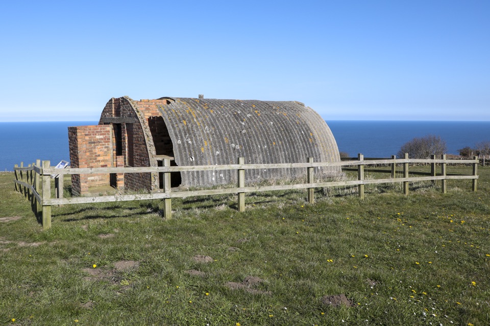 Sight · 10.9 km awayRavenscar Second World War Radar StationWartime radar buildings and hut foundations above a windswept coast
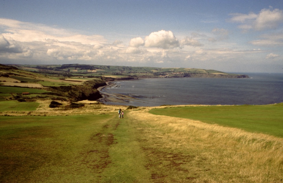 Sight · 11.8 km awayRavenscarThe town that never was, high above Robin Hood's Bay
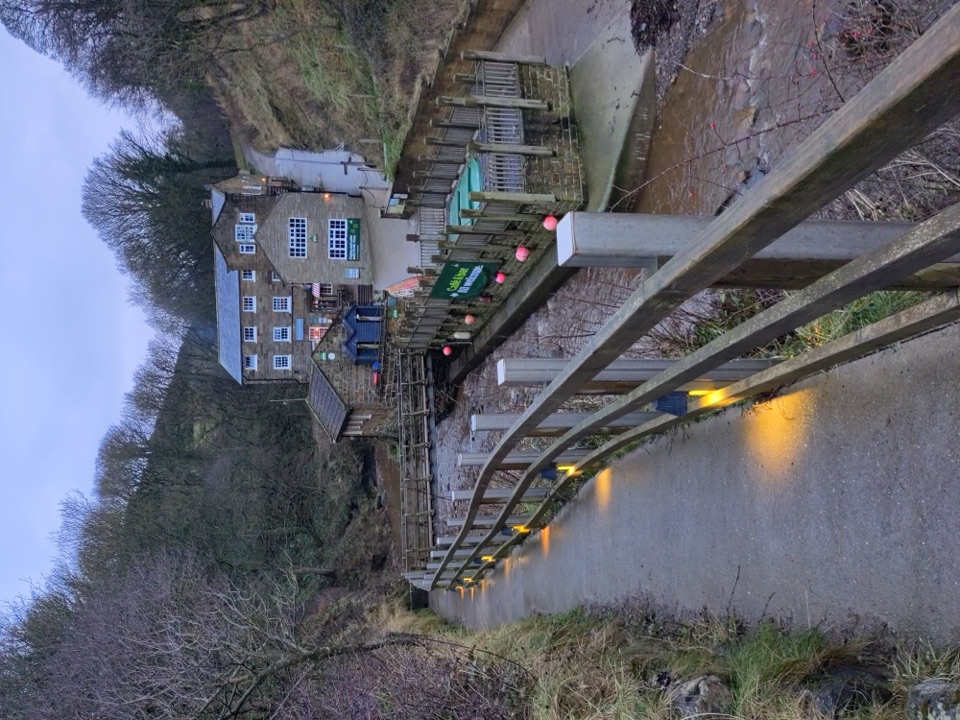 Beach · 15.4 km awayBoggle HoleTide-timed cove of ridged scaurs, rock pools and fossil-flecked shingle
Parkwolf’s North York Moors ranking

The audio tour guide for the drive, plus offline maps, trails, and wildlife heatmaps for when the signal drops.




