Parking
Informal Forestry Commission car park at Reasty Hill Top, about 4.5 miles northwest of Scalby near Scarborough. Aggregate surface, around 20 spaces and no parking charge.
North York Moors National Park, EN
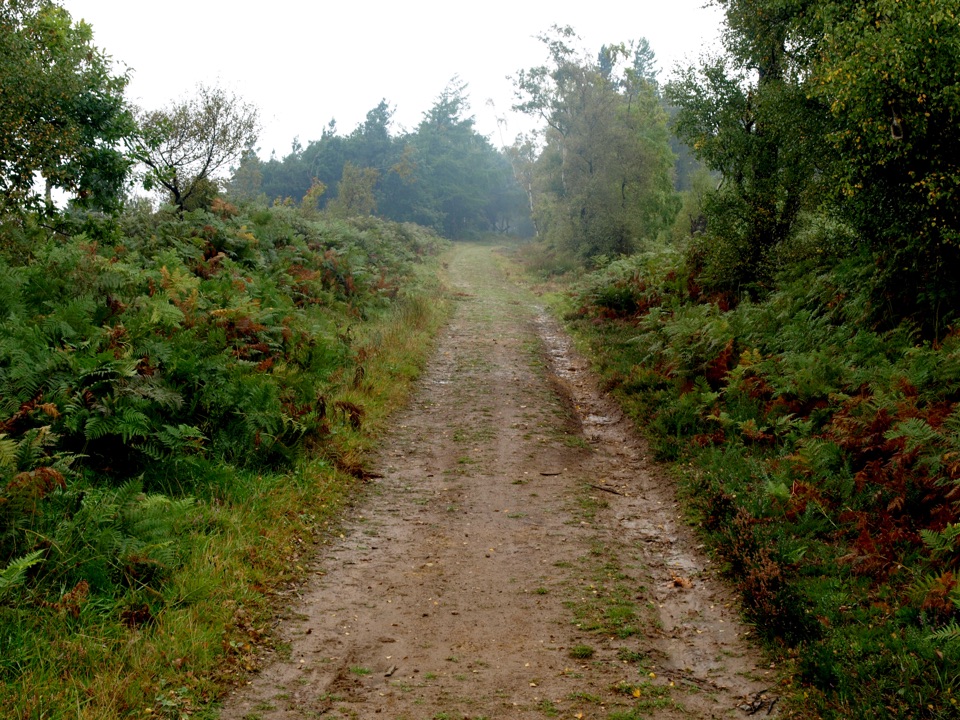
Gentle forest tracks to an escarpment edge above Harwood Dale
Overview
Map & elevation
Plan your hike

The highest, rockiest slopes around here are a summer buffet for grizzly bears.
North York Moors Tour Guide
Parkwolf is a GPS audio tour guide for North York Moors National Park. As you drive, it chimes in with what’s ahead: hidden gems, upcoming stops, history, geology, and wildlife, right through your car’s speakers.
Recorded for this trailhead
Reasty Hill Top and Broxa Forest“You're approaching Reasty Hill Top, where a forest-track loop leads to the escarpment above Harwood Dale.”
Plays as you drive up to this trailhead in the Parkwolf North York Moors Tour Guide.
More stories near here in the app
“Fantastic app with many points of information… It’s great to just turn on while you’re driving and it gives you an audio tour of the national Park. We love it!!!!”


Trail guide
This is a circular loop of 9.2 km / about 5.7 miles, allow roughly 2 hours 20 minutes at a steady walking or rolling pace. It starts and finishes at the informal Forestry Commission car park at Reasty Hill Top, about 4.5 miles northwest of Scalby near Scarborough. Total ascent is modest at around 72 m, with the route sitting between roughly 165 m and 223 m.
A shortcut can trim about a mile, but the loop described here is the full 9.2 km version.
Underfoot it is surfaced aggregate or tarmac forest track throughout. Gradients are mostly gentle: the steepest on the main route is 1:12 for 50 m, with other pulls up to 1:15 for up to 100 m.
This is graded Miles without Stiles - For some, which means strong and confident wheelchair users with a helper may find it within their abilities, and it may suit off-road mobility scooters. It is not a route that will work for every wheelchair user, so judge it against your own experience and equipment. Expect mud, puddles and rutting in places. If you are considering the shortcut, note it has an 80 cm barrier and a short 5 m slope at 1:3 with cross-slope up to 1:5, which is a different proposition from the long loop.
Part of the route follows the Moor to Sea Cycle Network, so expect cyclists, and occasional vehicles use these forest tracks. Walk and roll with that in mind, especially on bends where sightlines are short.
Broxa is noted nightjar habitat. The birds feed at dusk and nest on the ground in bracken, which is a good reason to keep to the tracks and to follow any signs about sensitive wildlife periods.
In Forestry England woods, dogs may be off lead only when they are effectively controlled. Use a short lead near farm animals and around cyclists, and never let a dog chase wildlife.
The Reasty Hill Top car park is informal, with an aggregate surface, around 20 spaces and no parking charge. Plan around the limited space rather than expecting facilities on site.
Wildlife
 15 sightingsEurasian OtterMost seen around 7 PMSighting map
 10 sightingsRed DeerMost seen around 7 AMSighting map
 79 sightingsGrey SealMost seen around noonSighting map
 26 sightingsWestern Barn OwlMost seen around 7 PMSighting map
 33 sightingsEuropean BadgerMost seen around 7 PMSighting map
 10 sightingsMute SwanMost seen around noonSighting map
Sighting maps show where each species has been reported across North York Moors. Wildlife moves, so no sighting is guaranteed.
Keep exploring
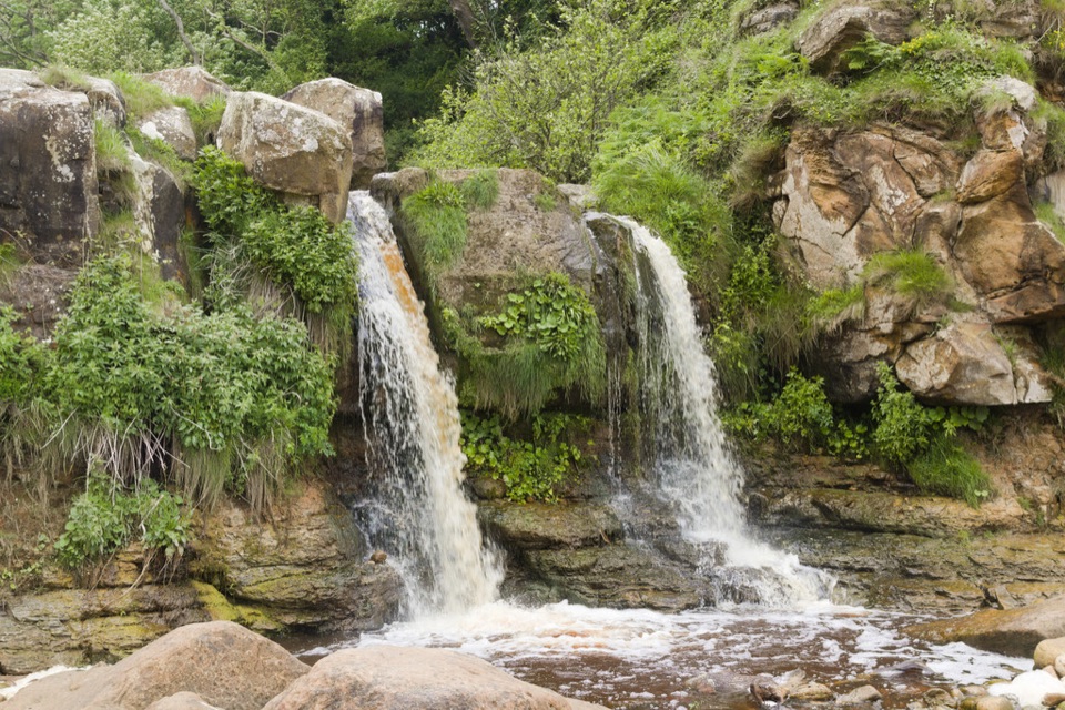 ModerateCloughton and Hayburn Wyke8 km · 3 hr · 4.7 km awayClifftop coast path to a waterfall cove, level old railway back
 EasyJerry Noddle Trail3.7 km · 1.3 hr · 6.3 km awayForest roads climb to Upper Langdale views and a carved sandstone shrine
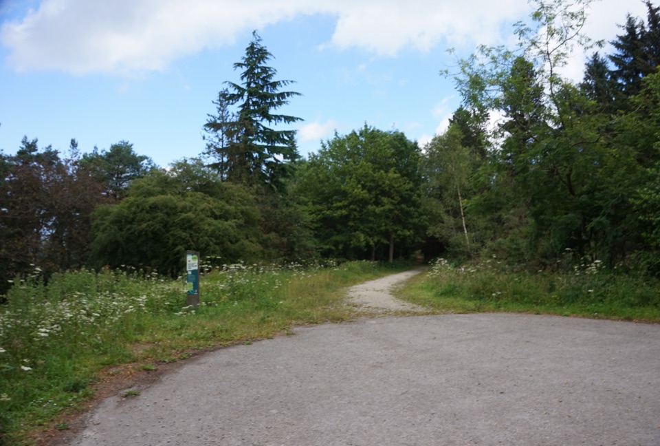 EasyWaitcliff Trail2.8 km · 54 min · 6.3 km awayGravel forest loop to plateau-edge views high above Bickley and Deepdale
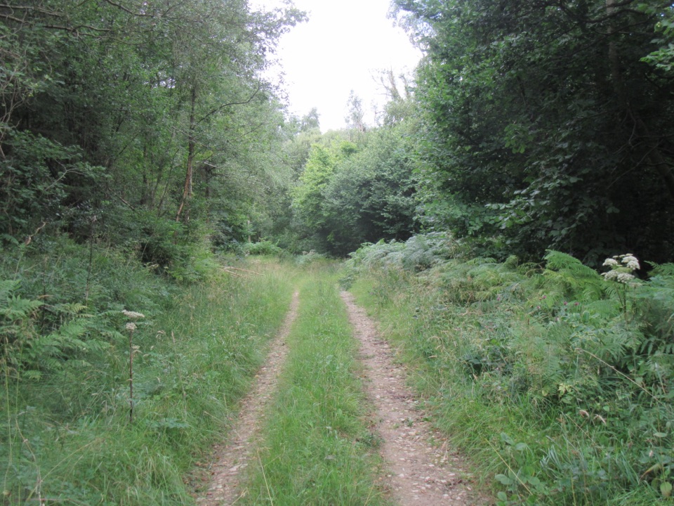 EasyDeepdale Habitat Trail2.1 km · 40 min · 6.4 km awayShort purple-marked loop into a birch-lined valley and a beck crossing
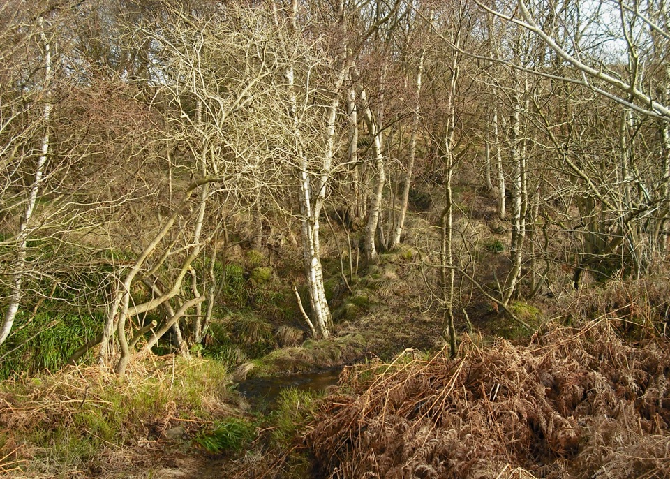 ModerateHowdale Moor and Brow Moor6.1 km · 2.5 hr · 6.8 km awayHeather moorland loop above Ravenscar, coast views and burial mounds
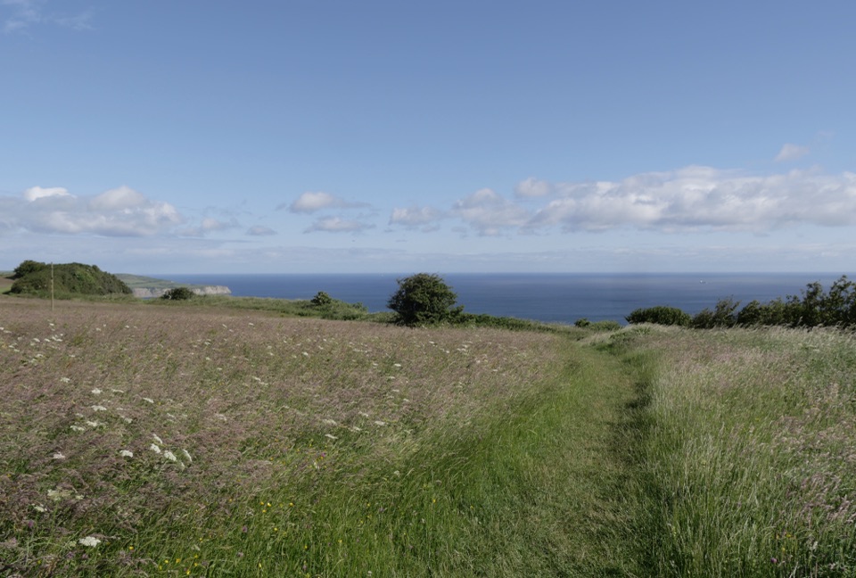 EasyMiles without Stiles (For some) - Ravenscar2.4 km · 45 min · 7.1 km awayShort cliff-top loops from Station Square, level or steeper options
 ChallengingRavenscar to Robin Hood's Bay17.7 km · 6.5 hr · 7.4 km awayMoorland tracks, cliff paths and a seaside village in an 11-mile loop
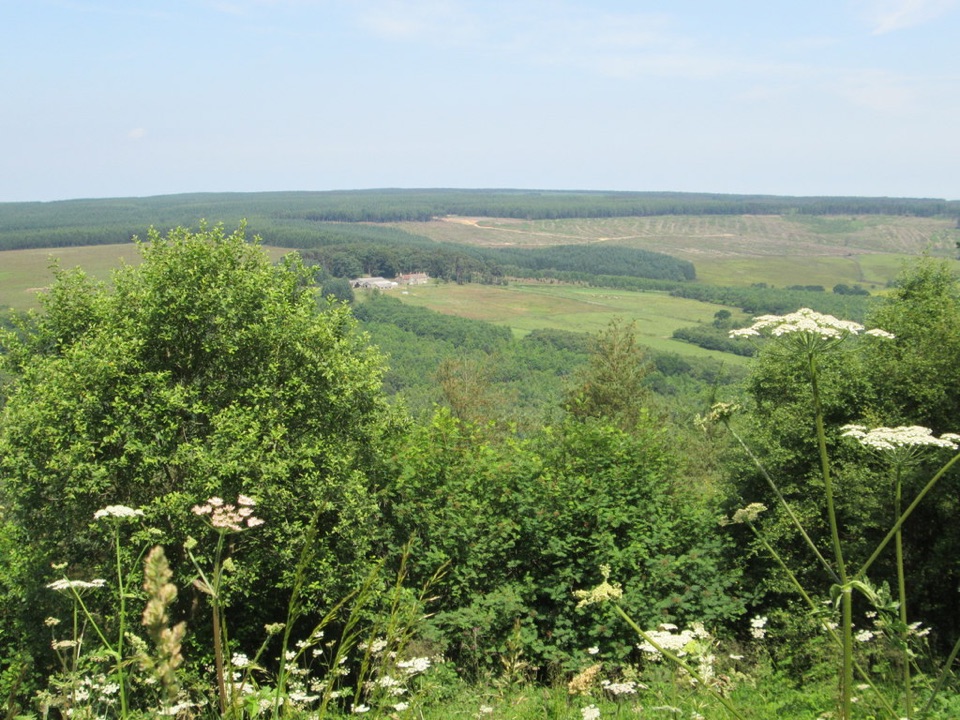 EasyCrosscliff View Trail0.8 km · 15 min · 7.5 km awayHalf a mile of level forest road to a wide moorland viewpointSight · 5.3 km awayHayburn Wyke WaterfallDouble waterfall spills through wind-twisted oaks onto a pebble cove
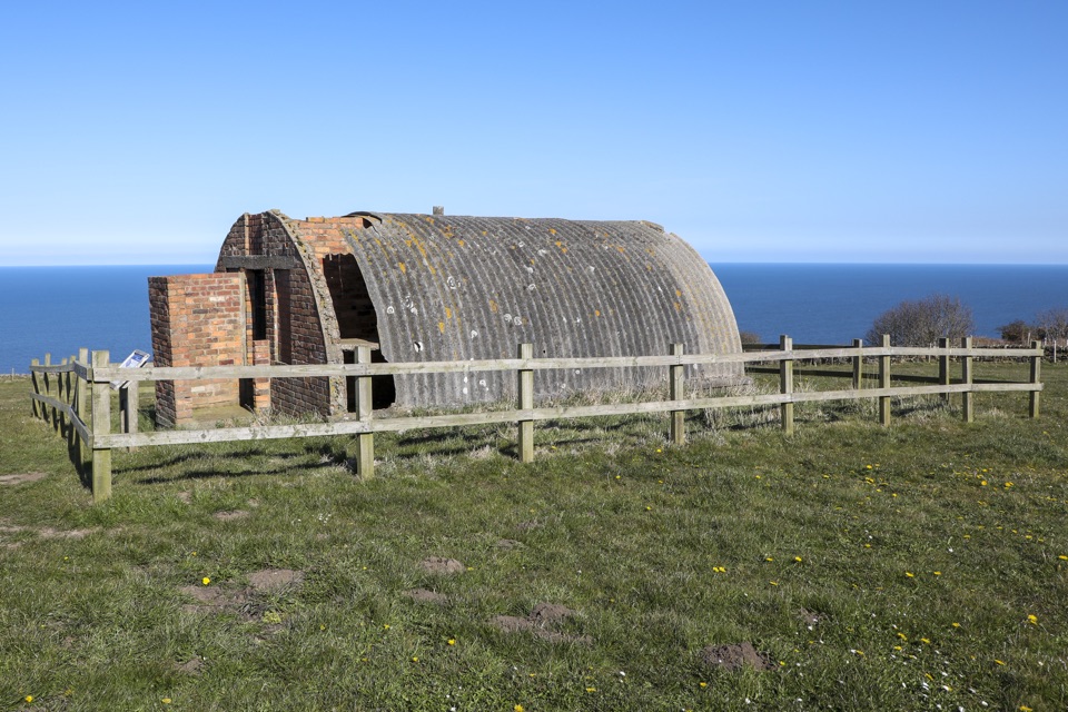 Sight · 7 km awayRavenscar Second World War Radar StationWartime radar buildings and hut foundations above a windswept coast
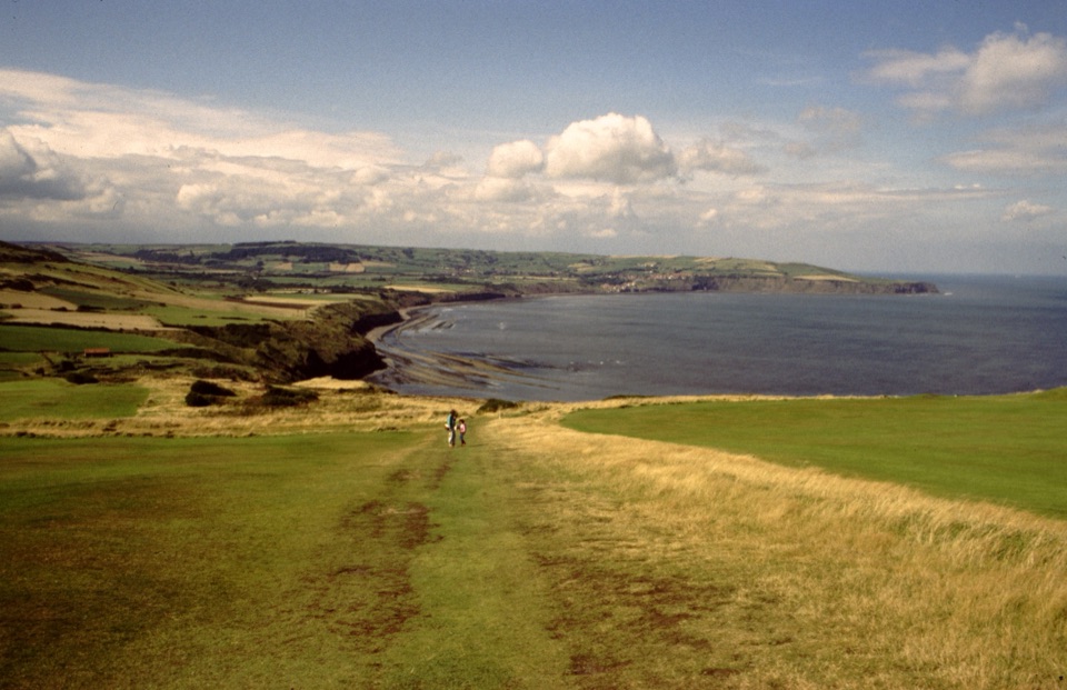 Sight · 7 km awayRavenscarThe town that never was, high above Robin Hood's Bay
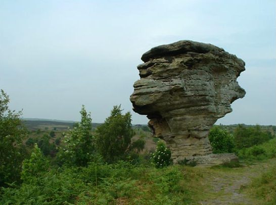 Sight · 9.6 km awayBridestones, Crosscliff and Blakey ToppingJurassic sandstone towers, heather moor and a flat-topped hill to climb
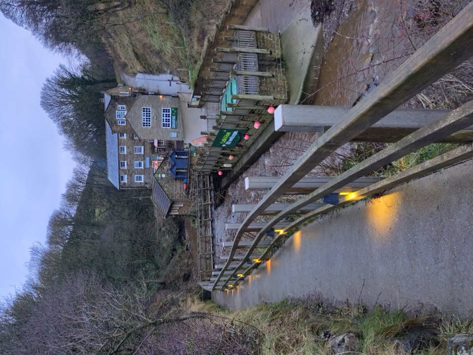 Beach · 9.7 km awayBoggle HoleTide-timed cove of ridged scaurs, rock pools and fossil-flecked shingle
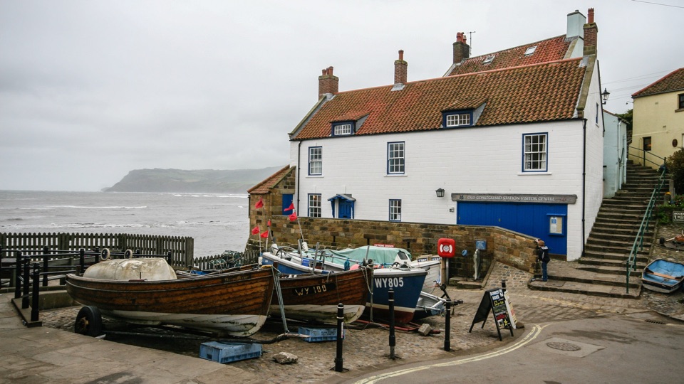 Sight · 10.5 km awayThe Old Coastguard StationSea-edge stone by the slipway, with rock scaurs at low tide
 Sight · 10.8 km awayRobin Hood's Bay and BeachCobbled smugglers' village tumbling to Jurassic rock scaurs and rockpools
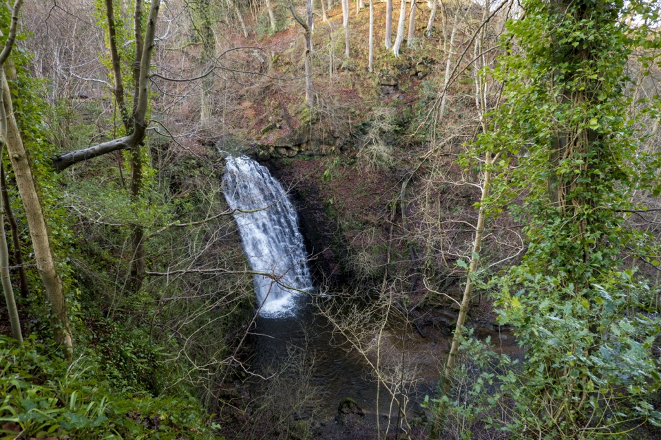 Sight · 11.8 km awayFalling Foss WaterfallA 9-metre fall of water in a steep, wooded valley near Whitby
Parkwolf’s North York Moors ranking

The audio tour guide for the drive, plus offline maps, trails, and wildlife heatmaps for when the signal drops.




